
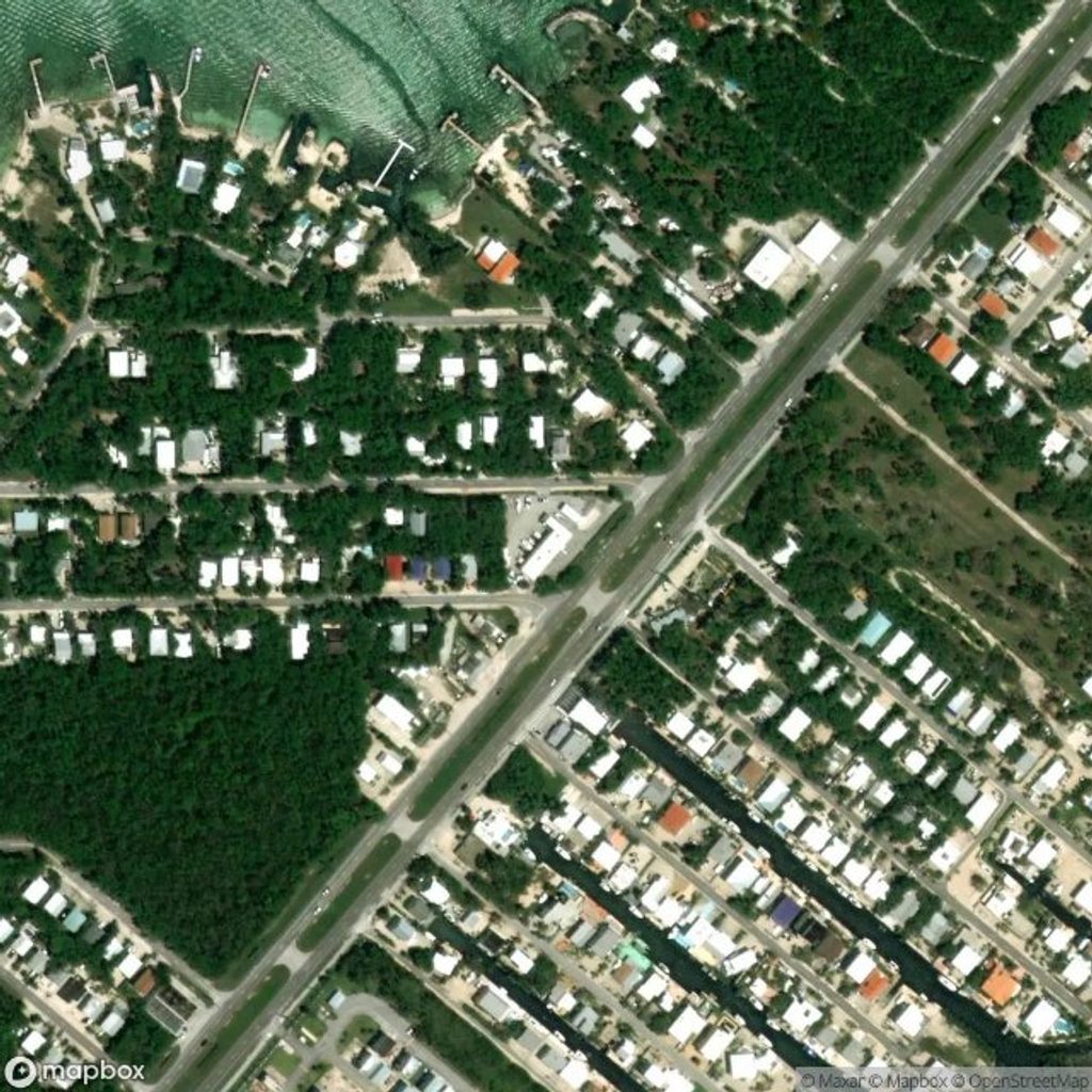
Place · 0 mi away
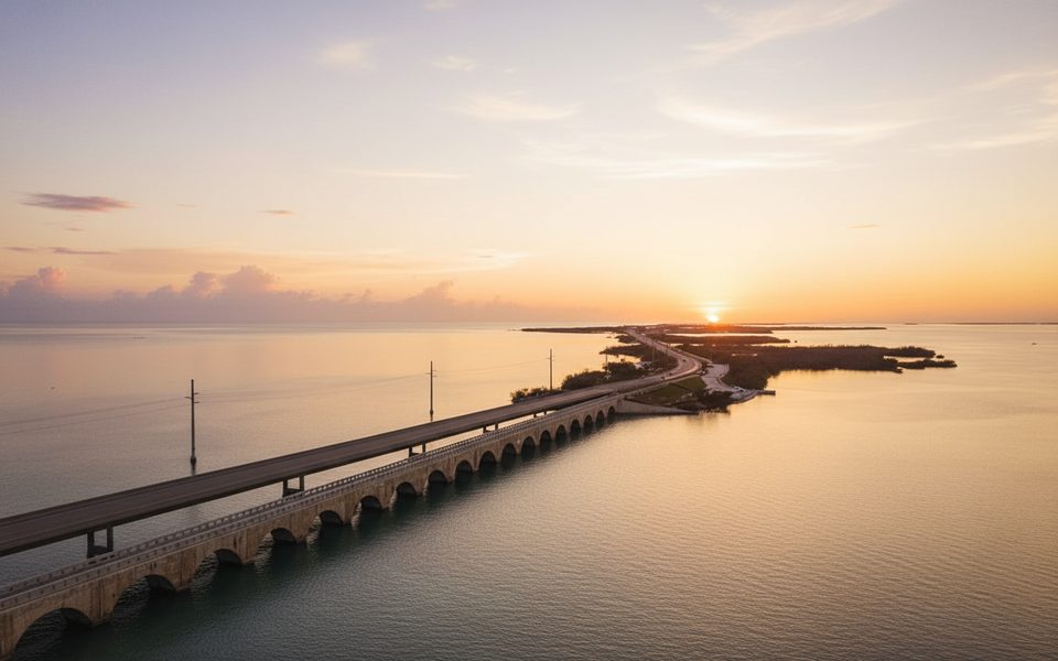
The sanctuary protects 4,539 square miles of water wrapped around the Keys—from south of Miami all the way toward the Dry Tortugas (excluding the national park). The shoreward boundary is the mean high‑water mark, so the moment you’re in Keys waters, you’re inside the sanctuary. It exists to guard a fragile marine mosaic: the continent’s only coral barrier reef, vast seagrass meadows, and mangrove‑rimmed islands.
This isn’t just another pretty stretch of blue. You’re floating over habitats that support thousands of species and a storied maritime past. Historic shipwrecks dot the bottom (several form the Florida Keys Shipwreck Trail), and the waters overlap with wildlife refuges that shelter seabirds, sea turtles, and the great white heron.
Think of US‑1 as your launch corridor. Book guided snorkel or dive trips out of Key Largo, Islamorada, Marathon, the Lower Keys, or Key West. Ask for reefs with mooring buoys to avoid anchoring on coral. If you’re more into shallow adventures, look for eco‑tours and kayak outings through mangrove shallows. For a dry‑land intro, the Eco‑Discovery Center in Key West gives a solid orientation to the sanctuary’s habitats.
Mile markers along the Overseas Highway run 113 miles and count down to 0 in Key West; locals give directions by MM and by “bayside/oceanside.” Plan restroom and fuel stops in towns, state parks, or major marinas—random pullouts often have no services. Start early: seas are typically calmer in the morning and winds pick up in the afternoon. In summer/fall, keep a sharp eye on marine forecasts.
After coral declines and high‑profile ship groundings in the 1980s, the sanctuary was designated on November 16, 1990. It folded in earlier protected areas off Key Largo and Looe Key, and a comprehensive management plan followed in 1997.
Year‑round, but aim for morning departures on weekdays for smoother seas and fewer crowds. Book ahead for weekends and holidays, and build flexibility for wind or storm delays.
Place · 0 mi away
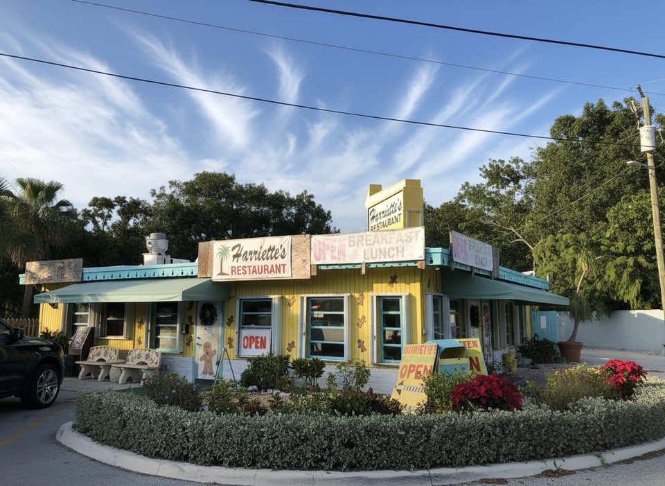
Place · 0.5 mi away
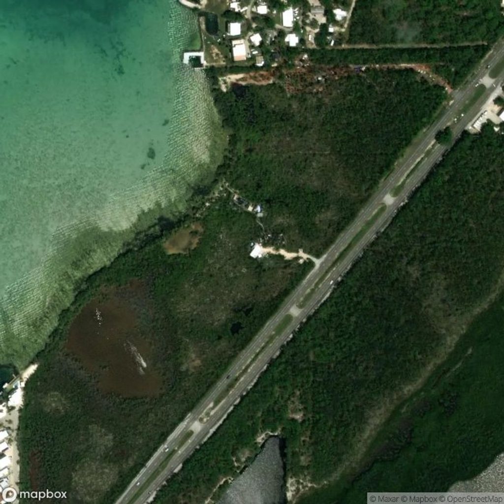
Place · 1.5 mi away
Place · 1.5 mi away
Easy · 7.4 mi away
Easy · 7.4 mi away

Easy · 9.2 mi away
Easy · 9.2 mi away

Parkwolf Tour Guide
