
Place · 0.5 mi away

This is the Keys by bike (or foot): a planned 106‑mile, mostly paved, multi‑use route that parallels the Overseas Highway from Key Largo to Key West. It strings together 23 historic Flagler Railroad bridges and provides long looks at turquoise water, easy grades, and frequent access to towns, state parks, and refuges. More than 90 miles are currently paved in segments.
It’s largely flat (bridge approaches aside), with frequent services through towns. But the route can be disjointed. Closed pedestrian/fishing bridges and unfinished pieces mean you may share space with fast traffic and cross US‑1 when the trail jumps sides. Signage can be sparse, and some surfaces collect gravel and road debris—tire care matters.
The trail ties into ten Florida State Parks and passes through a corridor that accesses the Florida Keys National Marine Sanctuary and several National Wildlife Refuges. It’s a rare way to sample beaches, parks, and historic railroad relics without needing a car for every stop.
Expect sun and heat with very little shade, especially in the Lower Keys. Bring plenty of water, sunscreen, and blinking front/rear lights for visibility. Watch for debris on bridges and near construction zones; flats are a common complaint. When a gap feels sketchy—like the Seven Mile crossing—local buses in the Lower Keys carry bikes and can shuttle you past problem spots.
Use the official Florida State Parks brochure/map to see paved segments, closures, and where parks offer restrooms, water, parking, and (in some cases) camping. Handy starts include Baby’s Coffee around MM 15 in the Lower Keys; in the Upper Keys, options like visitor centers sometimes allow parking with prior arrangement. Services (food, shops) are frequent in towns; in between, plan your water and bathroom stops at state parks and marinas.
Start early or ride late afternoon to dodge the worst heat and glare. On busy days, crossings and side switches on US‑1 feel more intense; calmer windows make the ride smoother and more enjoyable. For photos, low‑angle light on bridge spans and water views is hard to beat.
When you catch the right segments, this trail is pure Keys: long horizons, historic bridges, and easy pedaling. Just plan around the gaps, respect the sun, and you’ll have a memorable ride.
Place · 0.5 mi away
Place · 0.5 mi away
Place · 0.9 mi away
Place · 1 mi away
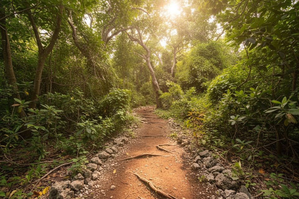
Easy · 1 mi away
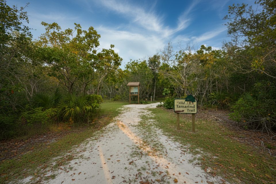
Easy · 1 mi away
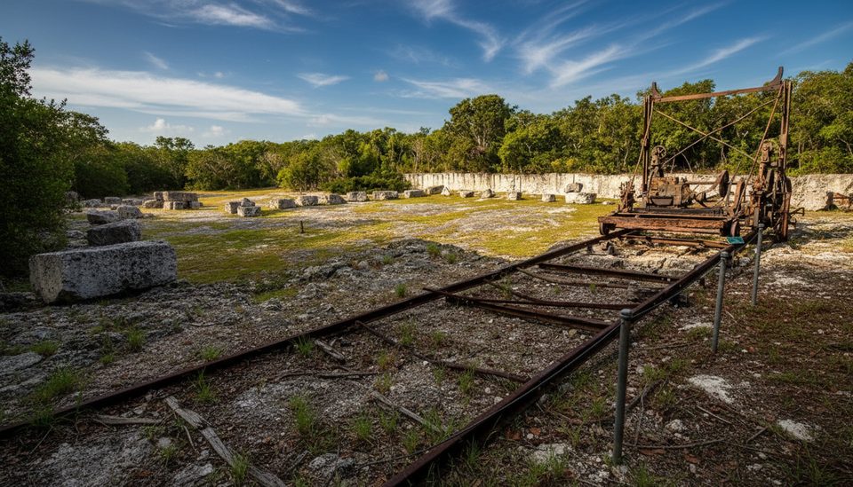
Easy · 17.5 mi away
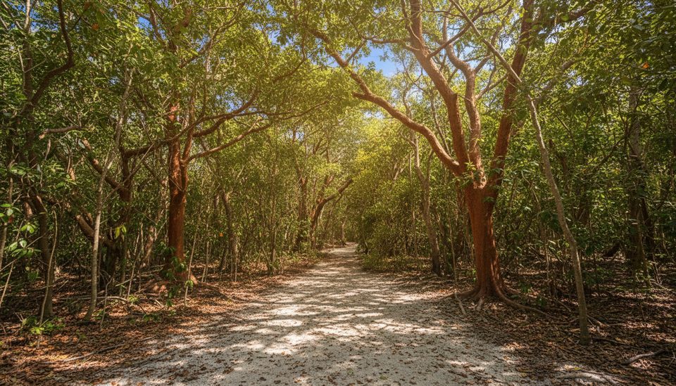
Easy · 17.5 mi away

Parkwolf Tour Guide
