
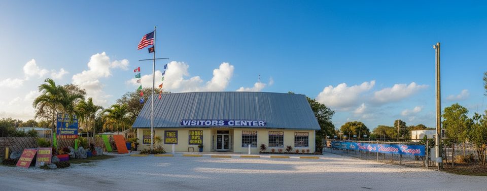
Place · 0.3 mi away
Moderate

The Florida Keys Overseas Heritage Trail is a 106‑mile, flat, multi‑use route linking Key Largo to Key West alongside the Overseas Highway. Don’t picture a single, car‑free greenway—the experience is a patchwork of paved path, sidewalks, and stretches on highway shoulders. Roughly 90 miles are currently completed and paved. The corridor rides the history of Henry Flagler’s early‑1900s railroad and incorporates 23 historic bridges, several now serving as fishing or scenic overlooks. It was named a National Recreation Trail in 2004.
Expect big‑sky sun, coastal wind, and long exposed bridge approaches. Some segments feel blissfully separated; others put you next to fast traffic with narrow shoulders. Wayfinding can be hit‑or‑miss, and construction or storm repairs occasionally shuffle access. Ocean views come in bursts—much of the route threads through woodsy residential strips—so manage expectations and pick segments purposefully.
Strong walkers and experienced riders who don’t mind road exposure and want history‑rich scenery. Newer cyclists are better off sampling the best‑maintained pieces rather than forcing a full through‑trip.
Services are never far, but carry plenty of water and sun protection. Lower Keys buses have bike racks for shuttling past uncomfortable gaps, and rideshares/taxis are handy for point‑to‑point day segments. Several fishing bridges are closed for safety at times, and events or utility work can affect access—always recheck the official trail page and map just before you go.
Start at dawn to beat heat and traffic. Wear high‑visibility gear, keep lights blinking, and face traffic when you must use shoulders. Debris and rough surfaces (especially after storms) are common. Winds can be punishing—plan direction around the forecast. Do not bushwhack for bathroom breaks; poisonwood and manchineel occur in the Keys.
Cooler months with early‑morning starts are markedly more comfortable. Weekdays are calmer around popular fishing bridges. Time the Seven Mile Bridge for a cool, calm early morning, and avoid bridges during storms or high winds.
If you want a mellow sample, try short out‑and‑backs on path segments near state parks; the Grassy Key area by Curry Hammock State Park offers a pleasant bite‑size option.
Use day‑use lots at state parks and public access points along the route; arrange any overnight parking directly with a park or private campground. Many users stage segments with rideshares or taxis instead of leaving a car.
Expect fast traffic beside some segments, debris on shoulders, limited shade, strong crosswinds on bridges, spotty signage, and occasional closures or construction. Plan direction around wind, carry ample water, use lights/high‑vis gear, and avoid bushwhacking due to poisonwood and manchineel.
Place · 0.3 mi away
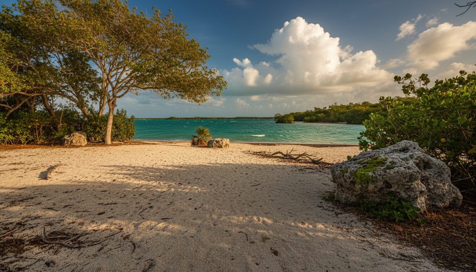
Place · 0.7 mi away
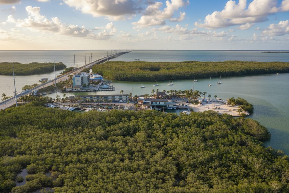
Place · 1.3 mi away
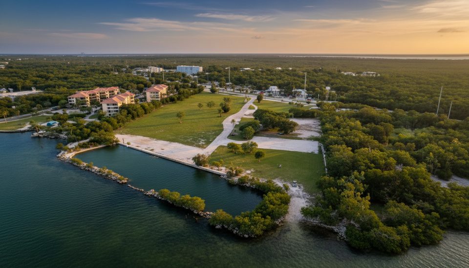
Place · 1.4 mi away
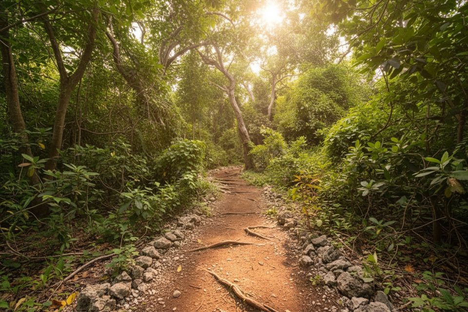
Easy · 3.3 mi away
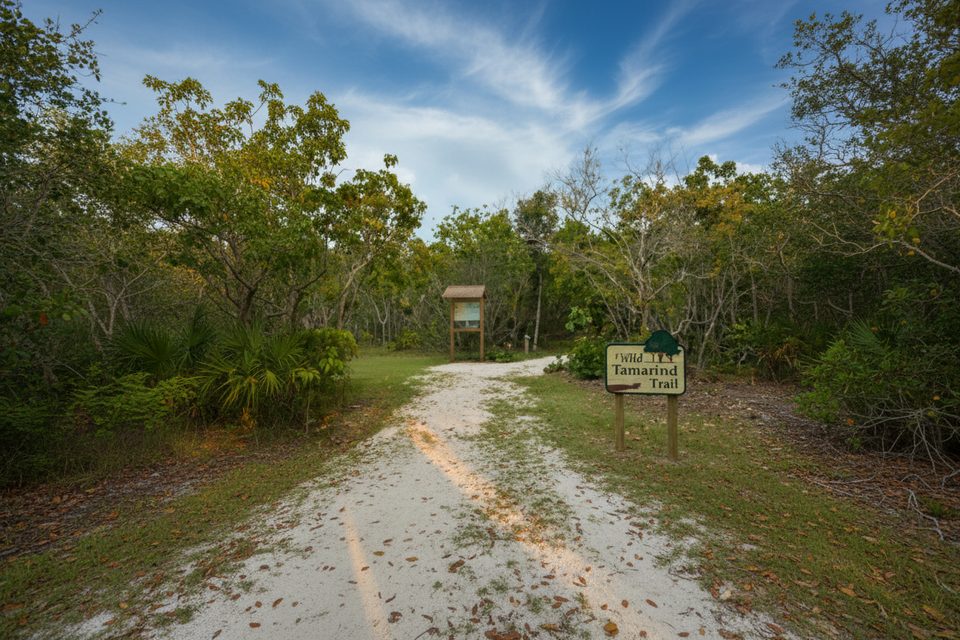
Easy · 3.3 mi away
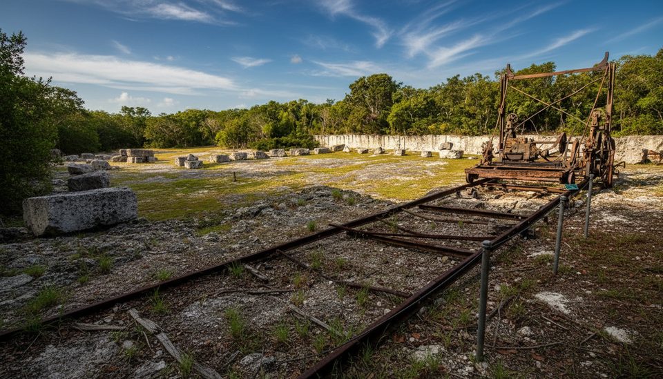
Easy · 19.8 mi away
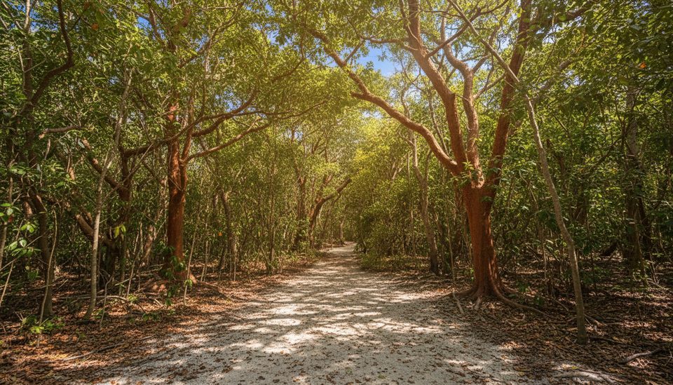
Easy · 19.8 mi away

Parkwolf Tour Guide
