
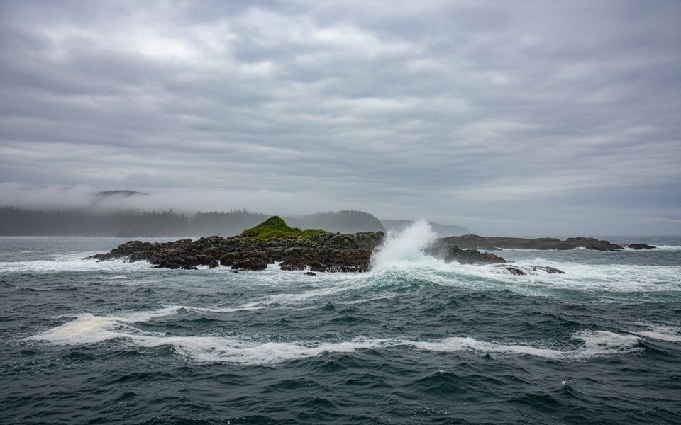
Place · 3.4 mi away
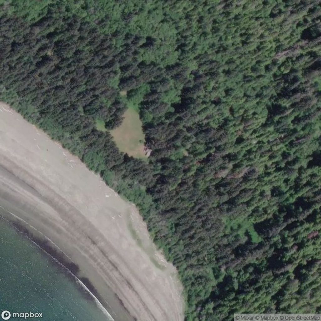
This is the northern gateway to the West Coast Trail, tucked at Pachena Bay by Bamfield and Anacla. It’s the official registration point and starting line for the 75 km coastal trek, and it feels like it—towering rainforest, a sweeping beach, and that buzz of pre‑expedition nerves.
Many hikers prefer beginning at Pachena Bay because the first couple of days are generally less technical than the south end. It’s a smoother warm‑up before the ladders, cable cars, and rougher sections farther down the line. The trail’s kilometer markers count up from here, which is strangely motivating as you work your way south.
Before you step onto the sand, you’ll check in for a mandatory pre‑hike briefing covering current conditions, etiquette, and a quick history of the trail. You’ll receive a waterproof West Coast Trail map at registration. Expect limited services right at the terminus, parking nearby, and no cell service. Orientation centre hours are typically 9 am–5 pm daily in season, so plan your arrival accordingly. Shuttles between trailheads are limited—book well in advance.
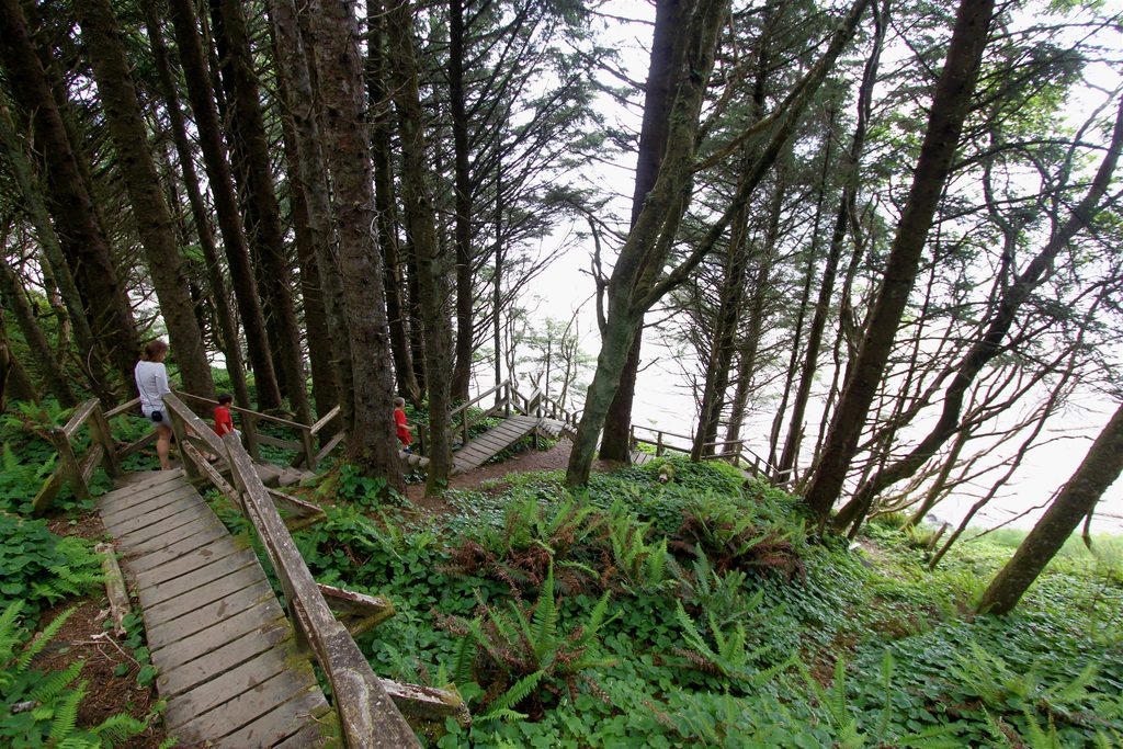
The trailhead sits where temperate rainforest meets the Pacific. Pachena Beach is your first (or final) taste of the coast—broad, sandy, and photogenic. The surrounding forest is classic west‑coast old growth: colossal cedar and fir, lush understory, and boardwalks that can turn slick after rain.
Black bears, bald eagles, seals, and otters are regulars along this coast, and tidepools brim with intertidal life. Offshore whale sightings do happen, especially during spring and fall migrations—keep your eyes on the horizon when the ocean is calm.
A campground at Pachena Bay sits close to the terminus, making it easy to stage a relaxed start or decompress after finishing. Basic supplies and food options are in Bamfield; once you set off, there’s no true resupply.
As a trailhead, this place does exactly what you need and sets the tone: thorough orientation, a motivating start line, and a beach view that makes the first steps feel special.
Place · 3.4 mi away
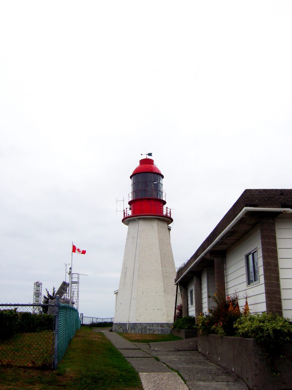
Place · 5 mi away
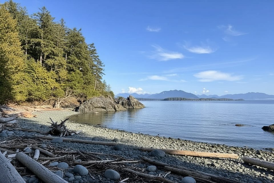
Place · 10.3 mi away
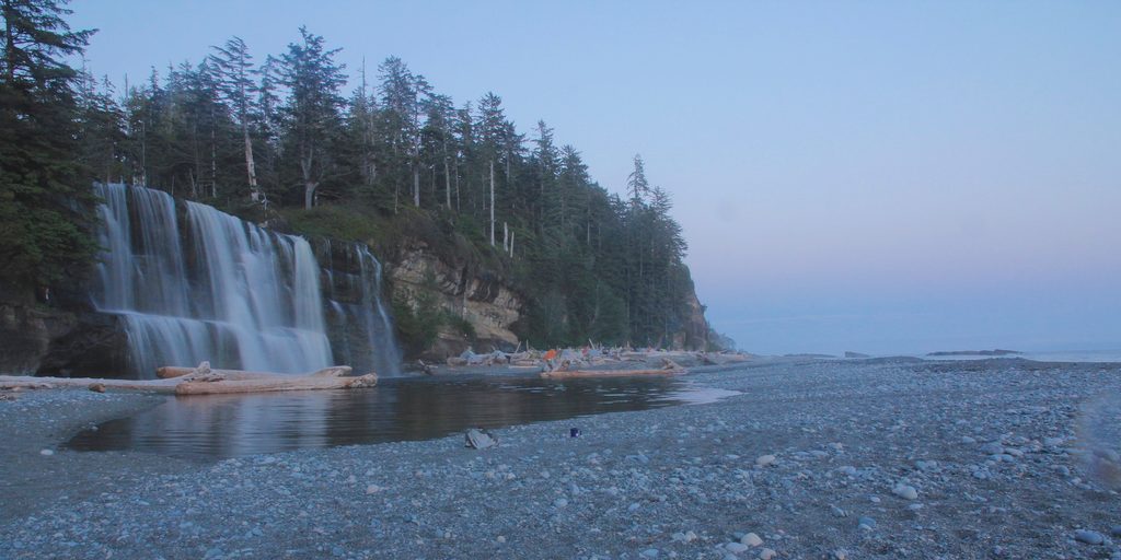
Place · 11.1 mi away
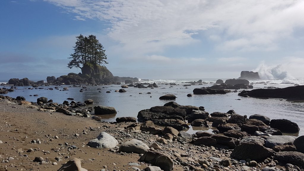
Challenging · 0 mi away
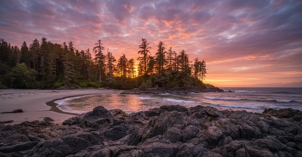
Easy · 25.1 mi away
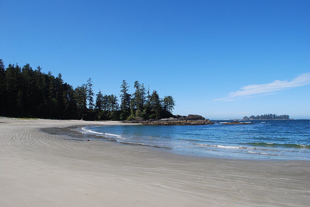
Moderate · 25.1 mi away
Moderate · 25.1 mi away

Parkwolf Tour Guide
