Parking
Unsecured parking is available near both trailheads. Pachena Bay is 5 km south of Bamfield; Gordon River is 5 km north of Port Renfrew. This is a point-to-point hike, so arrange transport between the ends.

#1 of 19 trails in Pacific Rim
Pacific Rim National Park Reserve, BC
Seven days on a rough coast, shaped by tides, ladders and shipwrecks.
Overview
Map & elevation
Plan your hike

The highest, rockiest slopes around here are a summer buffet for grizzly bears.
Pacific Rim Tour Guide
Parkwolf is a GPS audio tour guide for Pacific Rim National Park Reserve. As you drive, it chimes in with what’s ahead: hidden gems, upcoming stops, history, geology, and wildlife, right through your car’s speakers.
See the Pacific Rim audio tourRecorded for this trailhead
Pachena Bay West Coast Trail Orientation Centre“You're approaching the Pachena Bay West Coast Trail Orientation Centre. This is the northern trailhead's briefing office, so stop if you're hiking the trail; it isn't a general visitor centre.”
Plays as you drive up to this trailhead in the Parkwolf Pacific Rim Tour Guide.
More stories near here in the app
“Fantastic app with many points of information… It’s great to just turn on while you’re driving and it gives you an audio tour of the national Park. We love it!!!!”


Trail guide
The West Coast Trail is Parks Canada’s 75 km (47 mi) point-to-point backpacking route between Pachena Bay and Gordon River, with Balaats’adt (Nitinaht Village) as a permitted middle access. It follows Vancouver Island’s outer coast through temperate rainforest, rocky beaches, headlands and coves. Plan six to eight days. It’s a defining trip for experienced backpackers; the distance is only part of the work. GPS tracks can read longer because hikers choose different beach and forest sections, so use 75 km as the standard itinerary distance.
Walk either direction; the three legal access points are Pachena Bay, Balaats’adt and Gordon River. Parks Canada recommends at least two to three nights north of Nitinaht and four to five nights south; there’s no legal exit elsewhere except evacuation. High tides can make beaches impassable or cut you off, and Owen Point’s boulder field is a difficult, tide-dependent crossing. Use tide tables, the official map and the pre-hike briefing; don’t treat the beach as an automatic shortcut. Ferries at Gordon River and Nitinaht Narrows are part of the itinerary, and high water can hold up travel.
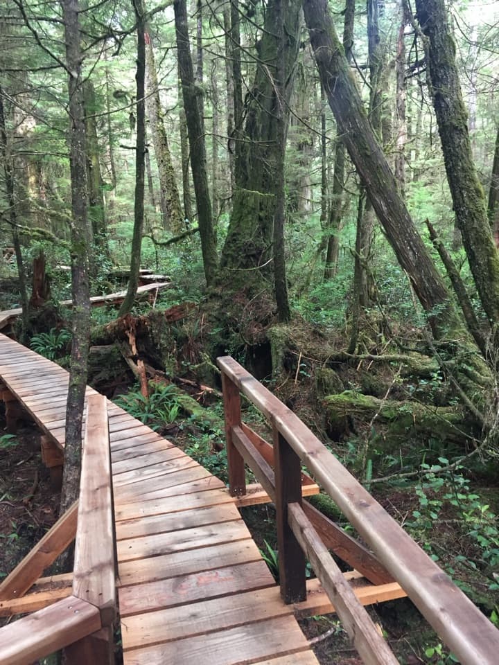
The trail starts on the coast, then moves in and out of wet forest. The first 10 km reach Pachena Light; farther on, the sections to Darling River and Tsusiat Falls mix ladders, bridges, boardwalks, roots, mud and uneven beach travel. Even flat-looking shoreline takes time under a loaded pack.
Tsusiat Falls is one of the route’s standout stops: water pours straight from the forest over a rock face onto the beach. Designated campsites have outhouses, but no garbage cans; pack out rubbish and treat water collected from creeks and rivers.
At Nitinaht Narrows, the trail crosses by water taxi to Balaats’adt, the Ditidaht community and the only middle access. South of the Narrows, the route returns to forest and shoreline, with camps at places such as Cribs Creek and Walbran Creek. The forest brings rough footing and more ladders; the beaches trade roots for rocks, driftwood and tide timing. Follow the marked beach-to-forest junctions; missing a re-entry can mean backtracking.
The final section from Thrasher Cove to Gordon River is especially demanding. The Owen Point beach option crosses a broad boulder field, slick with algae and broken by tidal shelves and surge channels. It’s remarkable when the tide allows it, but high water can make it unsafe or impossible; use the inland trail when the official map and briefing direct you there.
The route includes more than 100 ladder systems, cable cars and water crossings. Starting southbound, you take a ferry across Gordon River and climb a steep ladder into muddy, root-covered forest. Parks Canada advises camping at Thrasher Cove instead of trying to reach Camper Bay on that first day.
Expect slick roots, mud, wet rock, steep ladders, boulders and exposed shore. Heavy rain can raise rivers and hold up travel for days; fog is common, and the coast stays cold and wet even in summer. Cell service is unreliable and rescue may take more than a day. This is for hikers who already know multi-day backpacking and can adapt when tides, weather or water stop the plan.
Every hiker needs a West Coast Trail Backcountry Use Permit and pre-hike briefing, including day users; overnight hikers also need a reservation. Adults need a park entry pass. Dogs aren’t allowed except service animals.
The trail follows ancient travel and trade routes of the Huu-ay-aht, Ditidaht and Pacheedaht First Nations, whose villages and camps were established here long before foreign sailing ships came to the coast. As shipwrecks mounted along the Juan de Fuca Strait, the coast became known as the Graveyard of the Pacific. The 1906 wreck of the Valencia prompted more lifesaving infrastructure, including Pachena Lighthouse in 1907. The old lifesaving route became a recreational trail in 1973.
Wildlife
 11 sightingsOrcaMost seen around 10 AMSighting map
 16 sightingsHumpback WhaleMost seen around 5 PMSighting map
 174 sightingsBlack BearMost seen around 8 PMSighting map
 16 sightingsSea OtterMost seen around 6 PMSighting map
 134 sightingsSteller Sea LionMost seen around 6 PMSighting map
 18 sightingsCalifornia Sea LionMost seen around noonSighting map
Sighting maps show where each species has been reported across Pacific Rim. Wildlife moves, so no sighting is guaranteed.
Keep exploring
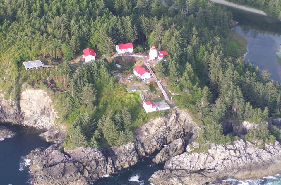 ChallengingCape Beale Lighthouse Trail14 km · 8 hr · 3.7 km awayThe tide sets the timing for a long walk to a lighthouse.
 ModerateKeeha Beach Trail7 km · 3.5 hr · 3.7 km awayA forest walk to a tide-pooled crescent on the open Pacific.
 ModerateTapaltos Bay Trail7 km · 3.5 hr · 3.7 km awayA muddy forest approach ends at a crescent beach.
 Visitor center · At the trailheadPachena Bay West Coast Trail Orientation CentreRequired orientation and trail updates before the West Coast Trail.
 Campground · 0.6 km awayPachena Bay CampgroundA beachside staging camp for West Coast Trail hikers.Beach · 4.4 km awayKeeha BeachA crescent of sand earned by 7 km of muddy, rooty trail.
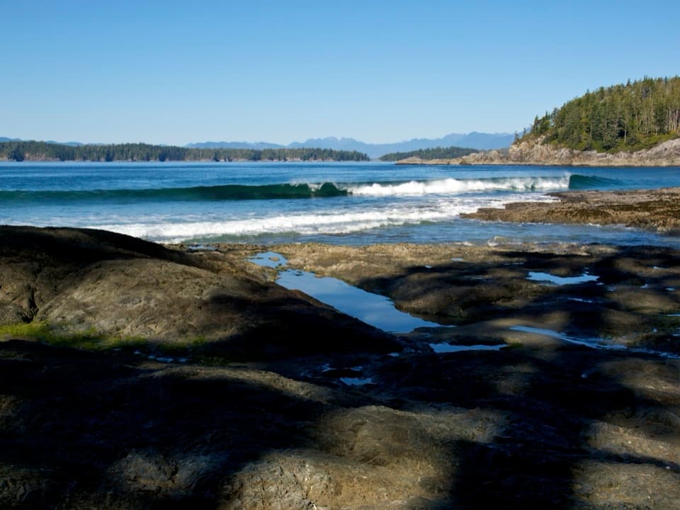 Beach · 5 km awayTapaltos BeachA crescent beach that takes a rough forest walk to reach.Sight · 7.4 km awayCape Beale LighthouseA 19th-century lightstation at the end of a tide-timed coastal hike
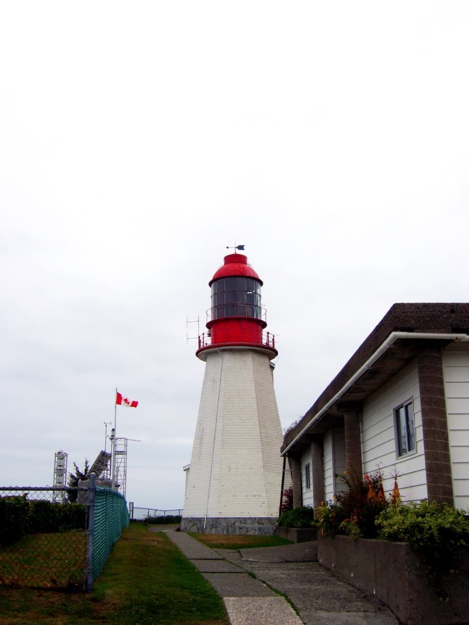 Sight · 8 km awayPachena Point LighthouseA 1907 lighthouse built after a deadly shipwreck.
 Campground · 8.4 km awayMichigan Creek CampgroundA shaded beach camp about 12 km into the West Coast Trail.
 Campground · 9.4 km awayDarling River CampA beach camp with a short detour to Darling Falls.
Parkwolf’s Pacific Rim ranking

The audio tour guide for the drive, plus offline maps, trails, and wildlife heatmaps for when the signal drops.