
Place · 3.4 mi away
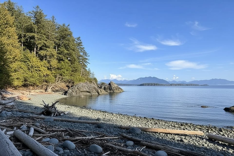
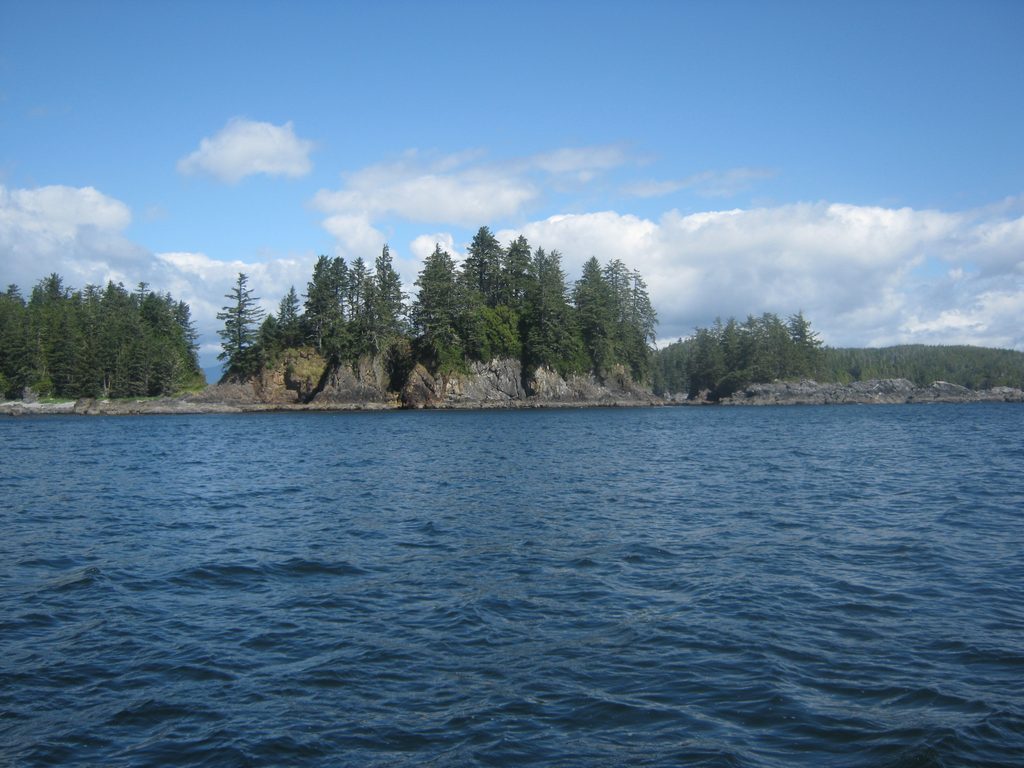
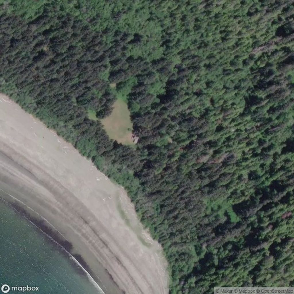
Effingham Island anchors the Broken Group Islands with tall, forested bluffs and wild shorelines. Meares Bluff rises about 75 meters, giving the island its big‑presence profile in Barkley Sound. It’s a classic BGI stop for paddlers: rugged, beautiful, and purposefully undeveloped.
You come here for the mix of coastal rainforest, tidepool‑lined shores, and big‑water views across the archipelago. It’s a practical waypoint on multi‑day paddling routes and, for many trips, one of the most memorable islands thanks to its height and varied landings.
Reaching Effingham is by kayak or small boat only. A valid National Park Entry Pass is required, and camping is allowed only at designated sites with a backcountry camping permit. Dogs are not permitted in the Broken Group Islands (service animals excepted), and groups larger than 12 must split and use different designated camps. Some areas within the islands are First Nation reserve lands; obey any no‑landing zones shown on official maps.
Effingham Island has a designated backcountry campsite (Effingham Bay) shown in the official paddler’s guide. Expect backcountry basics: an outhouse (no running water) and wildlife‑resistant food storage. There are no stores, fuel, or services, and there are no potable water sources—arrive fully self‑sufficient.
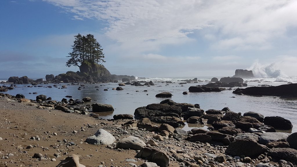
Steep, mossy forest slopes drop to rocky points, pocket beaches, and lively intertidal zones with anemones, sea stars, crabs, and more. Offshore, paddlers commonly encounter marine life like seals, sea otters, and occasionally whales. Look up for bald eagles and other seabirds riding the coastal winds.
This is true ocean coastline: plan around tides, swell, and currents. Unexpected waves and rip currents can surprise at exposed landings, and high tides can cut off beaches. The park is wolf, cougar, and black bear country—store food properly and give wildlife space. Weather shifts quickly here; pack for rain and changing conditions.
Approach landings cautiously—rocky fringes and tide swings make some beaches tricky. Carry tide tables and charts, along with reliable communication gear. If you’re aiming inland, know that there are no formal trails; protect cultural sites and stick to designated areas and beaches.
Summer sees the most use and the calmest windows for small‑craft travel, which also means fuller camps. Aim for early starts and shoulder‑hour landings to find space and softer light along the bluffs and beaches. In any season, build in weather buffers and check marine conditions before committing to crossings.
Place · 3.4 mi away
Place · 3.5 mi away
Place · 5.5 mi away
Place · 10.3 mi away
Challenging · 10.3 mi away
Easy · 14.9 mi away
Moderate · 14.9 mi away
Moderate · 14.9 mi away

Parkwolf Tour Guide
