
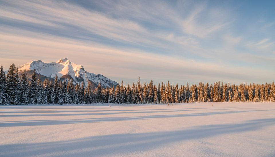
Place · 2.7 mi away
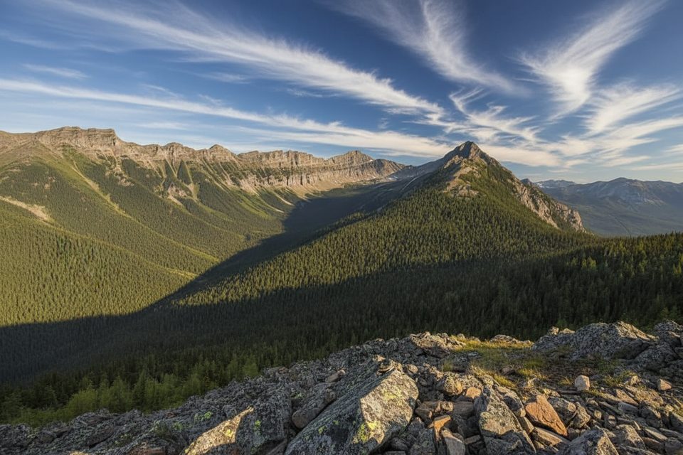
Mount Lawson is a steep, off‑route scramble in Kananaskis Country with access points inside the Peter Lougheed orbit. It’s not an official, maintained trail, so the draw here is the challenge: steep ground, hands‑on sections, and real route‑finding. Some hikers also target the nearby South Lawson Peak from within the park; same neighborhood, different objective.
For the South Lawson side within the park, you’ll park in small, unsigned pullouts just off the Smith‑Dorrien/Spray Trail a few hundred metres before Peninsula Day Use. There’s no signed lot—don’t block the locked gate. The classic Mount Lawson scramble itself typically starts near the closed bridge by the old Fortress access road. Expect faint paths: a yellow rope on a branch has been used to mark the entry into the woods (don’t rely on it).
Route cues that matter: after entering the forest, cross the first drainage around 500 m in, then turn left (south) about 300 m to pick up the correct gully. Near a waterfall, trend up and climber’s right before the falls to avoid difficulties. Early season, the gully can be wet and flowing—short bushwhacks to bypass soaked sections are normal.
Once you’re in steep gullies and above treeline, this terrain is avalanche‑prone. Treat any winter or early‑winter attempt as a full alpine day: avalanche forecast first, then beacon, shovel, probe, helmet, traction, and tight turnaround times. Expect short daylight, cold winds, and fast‑changing weather.
Across the park right now, many winter trails were snowmobile‑packed November 24–26, but coverage is thin with bumps and occasional open water—early‑season hazards abound. The High Rockies Trail is closed through the Buller Slide Path November 1 to May 1 for highway avalanche control. If you’re using the Maude‑Lawson corridor for backcountry travel, note the Turbine Canyon Backcountry Campground is closed December 1 to June 23, and the Maude‑Lawson Trail is open but redirected just west of Forks.
There are no restrooms at the South Lawson pullouts. The closest toilets are pit/vault toilets at nearby day‑use areas—Peninsula is the closest, with Canyon and Upper Lake as backups. Cell service is unreliable to nonexistent around the trailhead, so download maps and leave a plan with someone.
This corner of the Rockies is home to elk, moose, deer, bighorn sheep, mountain goats, and carnivores including black and grizzly bears (often denning by December but timing varies), plus cougar, lynx, coyote, and the occasional wolverine. Birds range from Canada jays and nutcrackers to grouse and high‑elevation ptarmigan. Give wildlife space and carry bear spray year‑round.
Most parties target snow‑free periods for safer travel and simpler route‑finding. In winter, only go with avalanche training, gear, and a conservative plan. There are no official hours here, so start early to maximize daylight—especially in December when days are short.
Place · 2.7 mi away
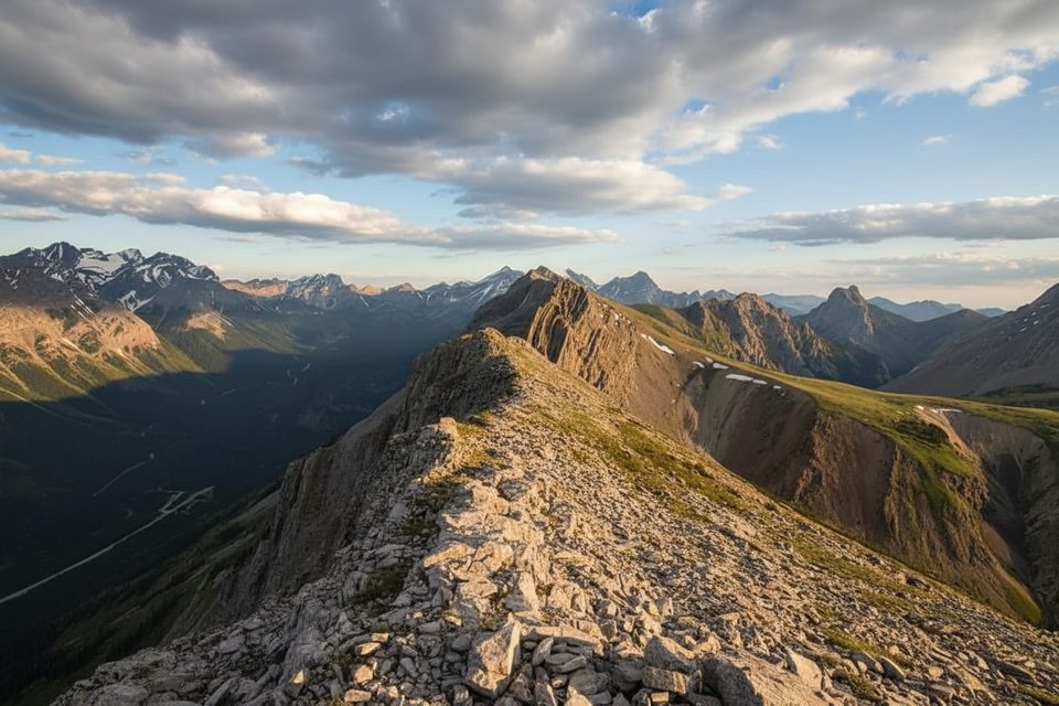
Place · 3.1 mi away
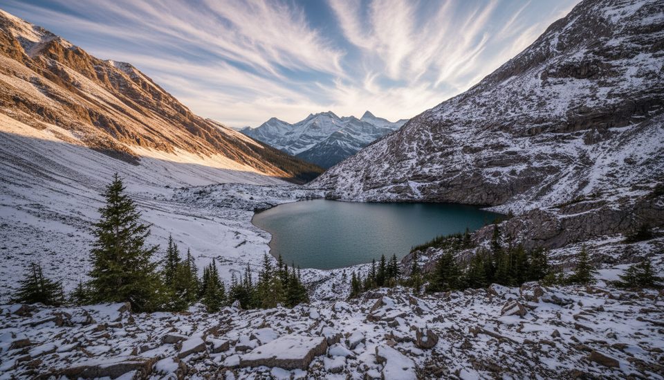
Place · 3.7 mi away
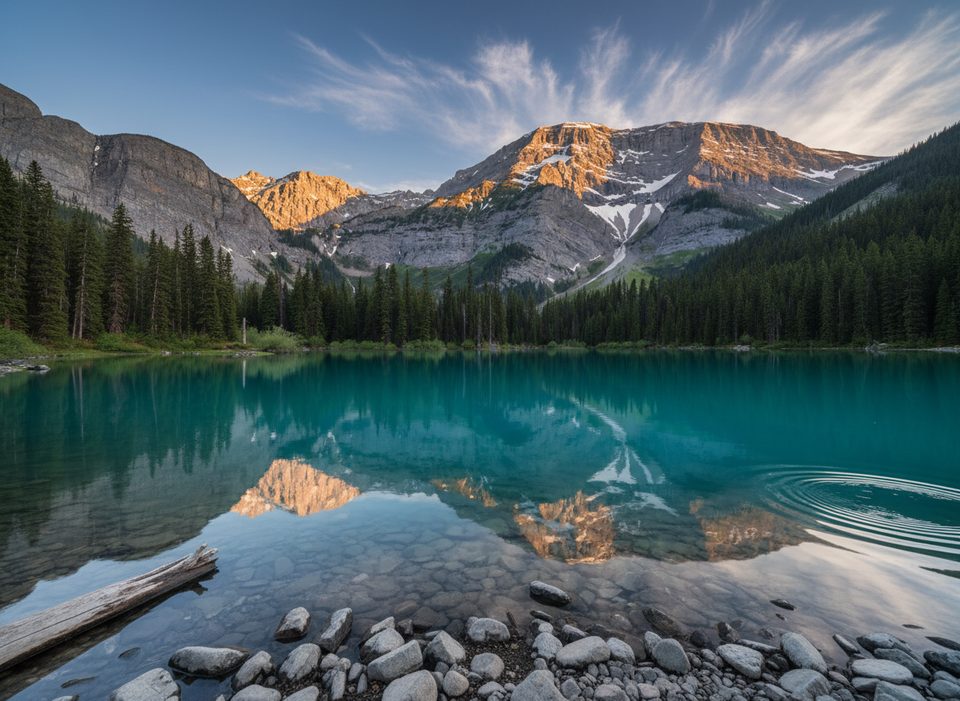
Place · 4.1 mi away
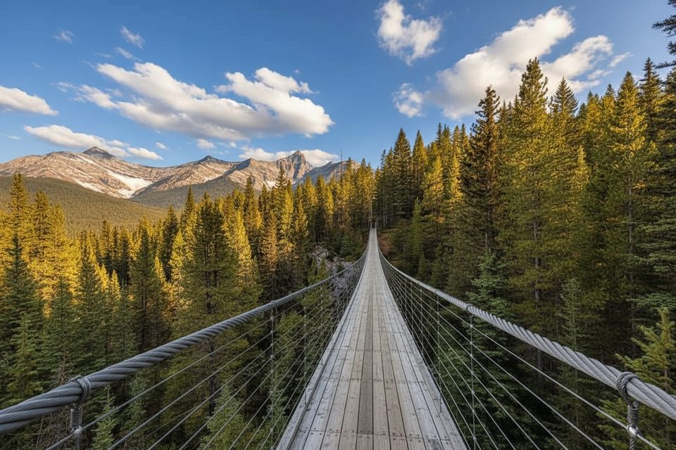
Moderate · 4.2 mi away
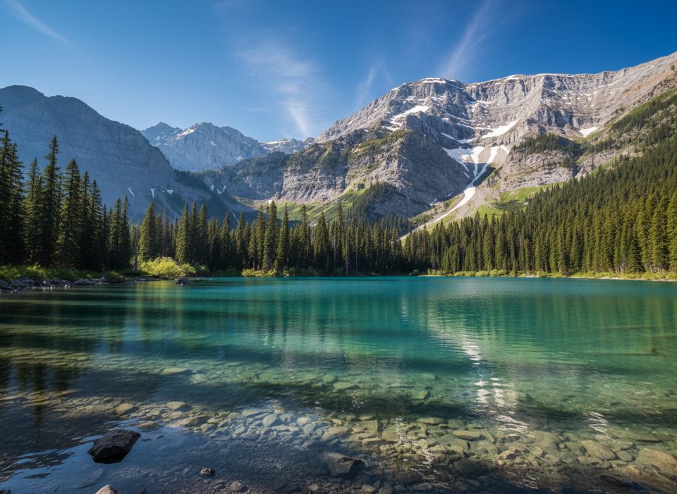
Easy · 4.2 mi away
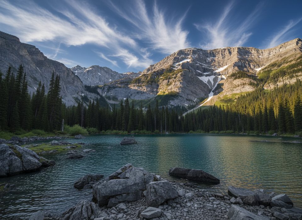
Easy · 4.2 mi away
Easy · 4.8 mi away

Parkwolf Tour Guide
