Overview
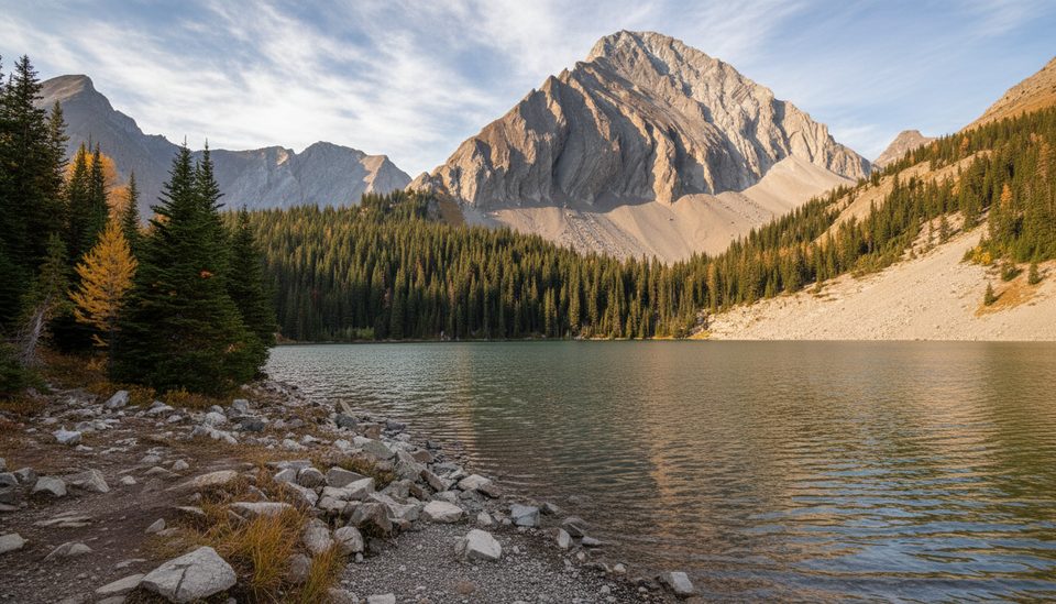
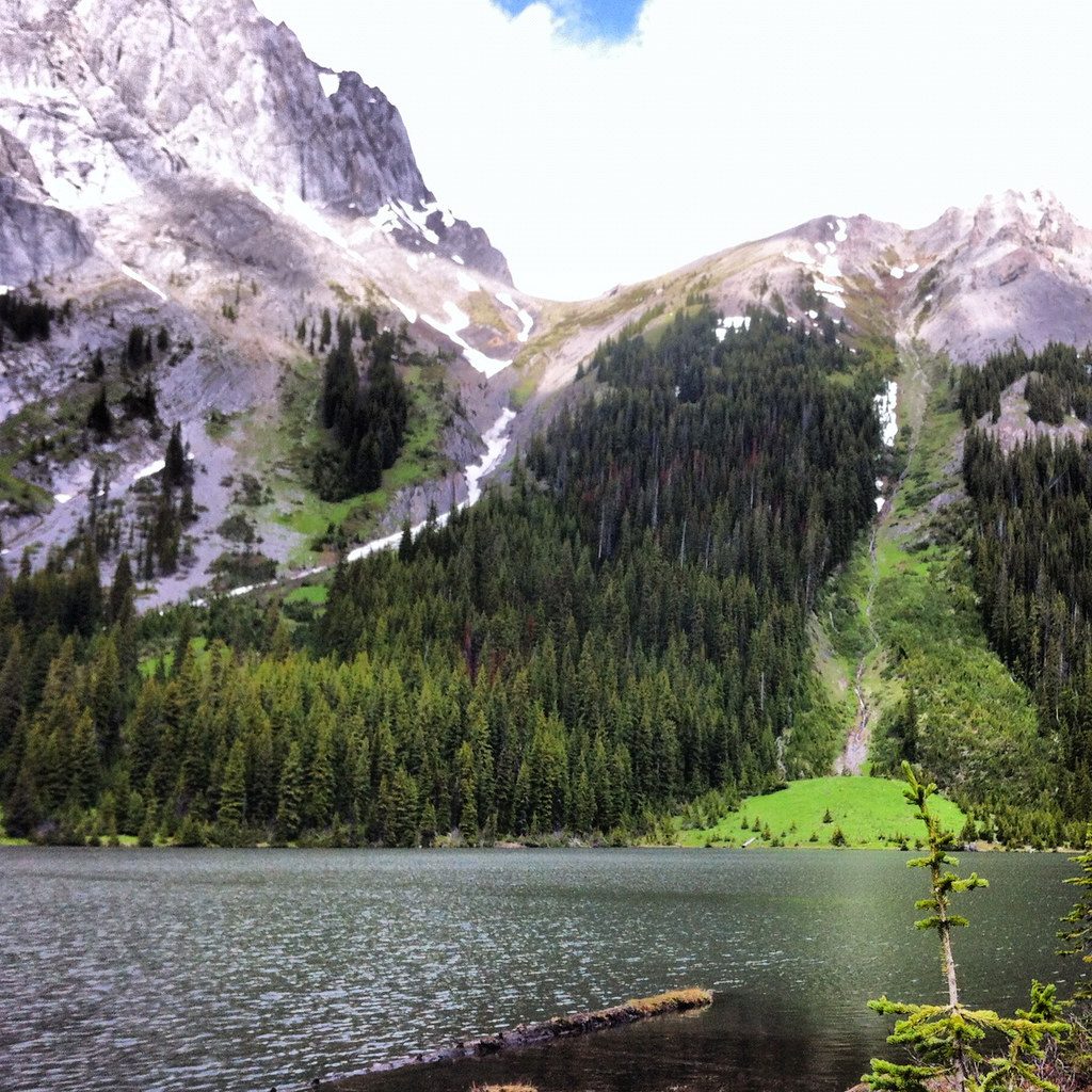
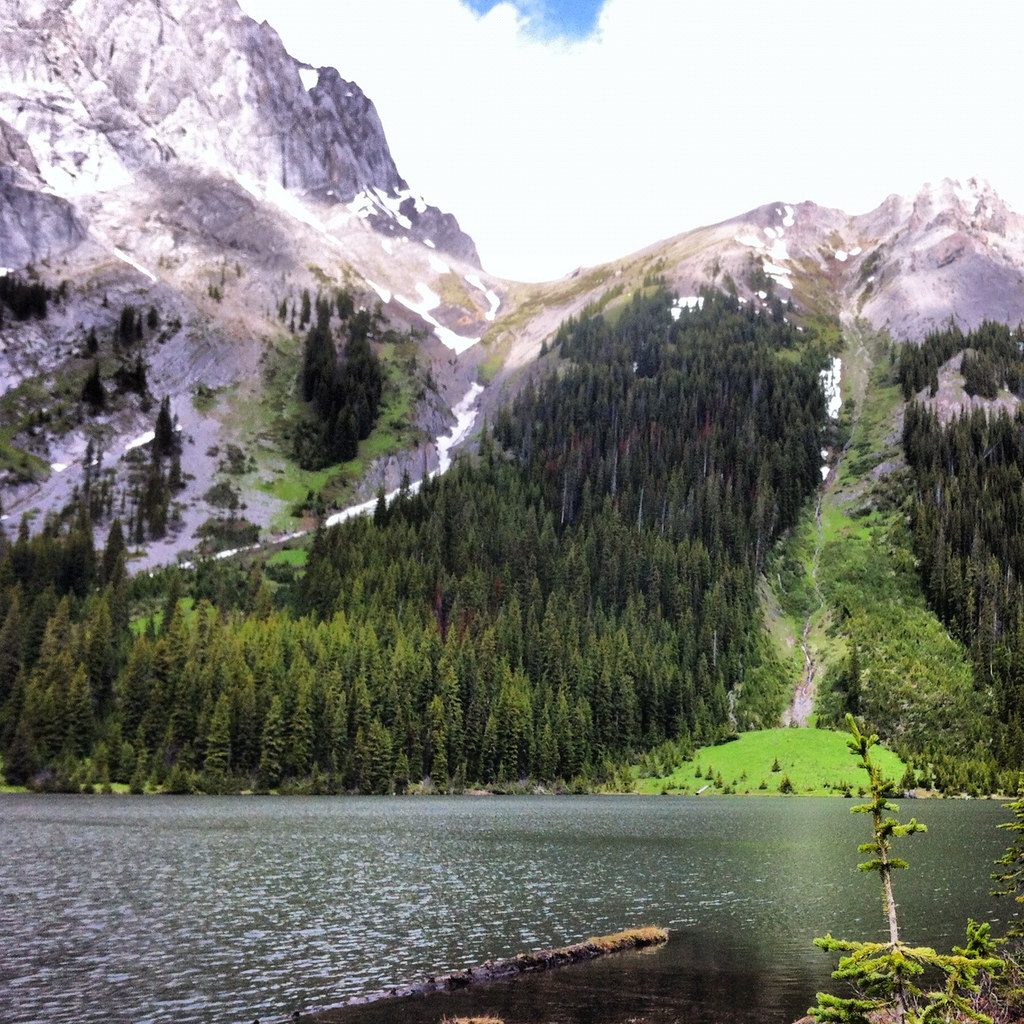
Headwall Lakes are a pair of high, wind‑kissed tarns tucked above the forest. Expect a moderately long day: most reports put it at 14–17 km round trip with roughly 430–710 m of gain, taking 5–6 hours. The draw is the big‑mountain setting at the lakes themselves—and fewer people than the nearby Chester Lake scene.
Route at a glance
- Start from the south end of the Chester Lake parking lot; the route is not signed as “Headwall Lakes,” so carry an offline map/GPS.
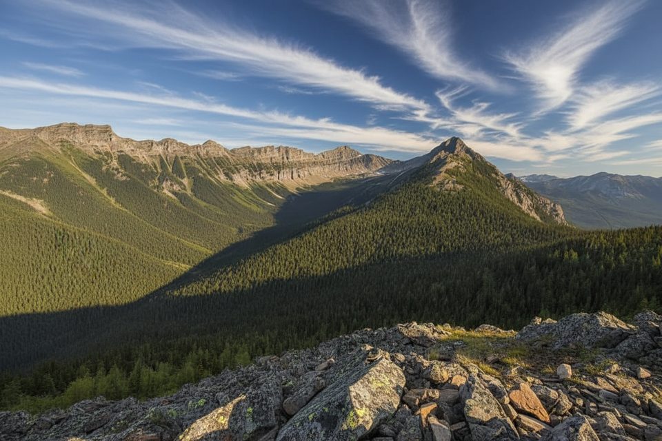
- The first kilometres follow a wide forest road with limited views.
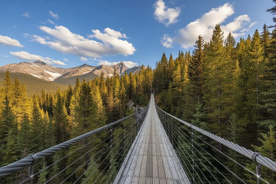
- Cross a bridge over Headwall Creek around 3.2 km, climb a short road, then watch for a small cairn/rock arrow on the left that drops you onto singletrack beside the creek.
- Work through a talus/boulder field using cairns, then grind up a steeper, looser slope to Lower Headwall Lake; the upper lake is about 15 minutes farther on obvious rocky tread. The upper lake makes a great but often breezy lunch spot.
Why it’s worth it
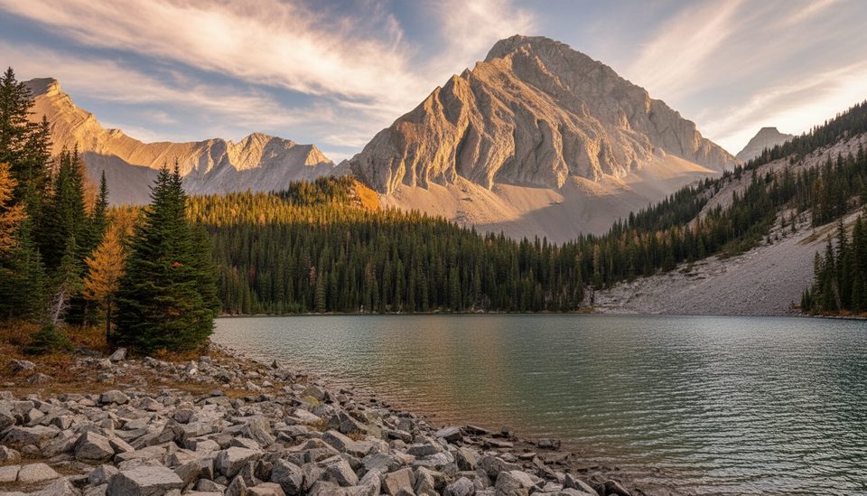
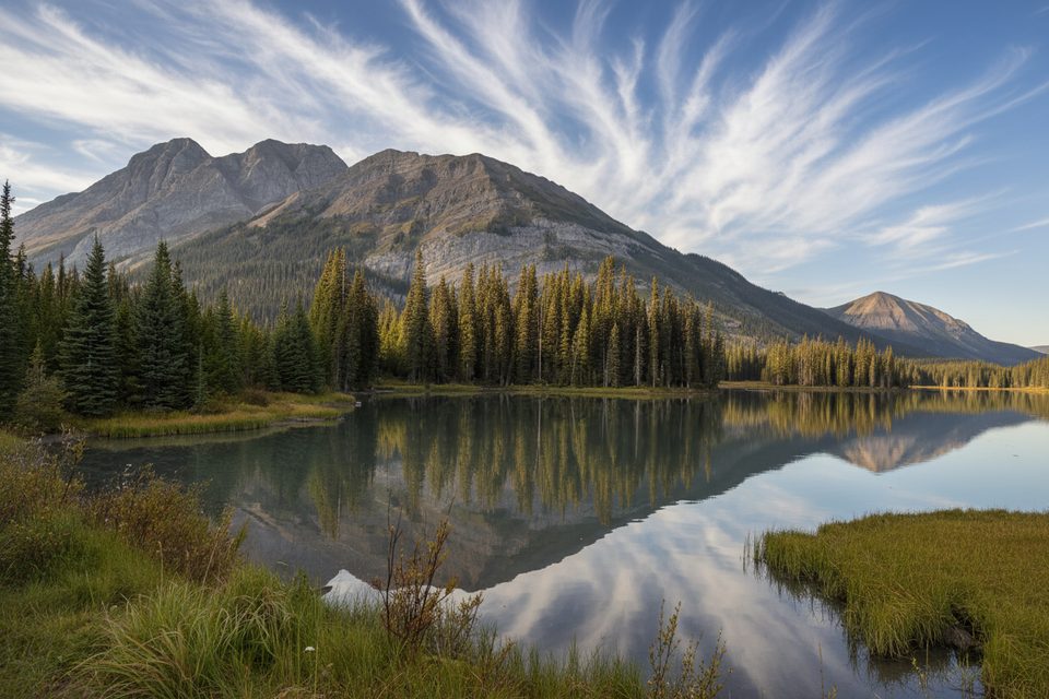
The approach is ordinary, but the finish is not: two compact alpine lakes ringed by peaks and a proper sense of space. It’s the hike you pick when you want Chester‑level scenery with a bit more solitude.
Seasonality and conditions
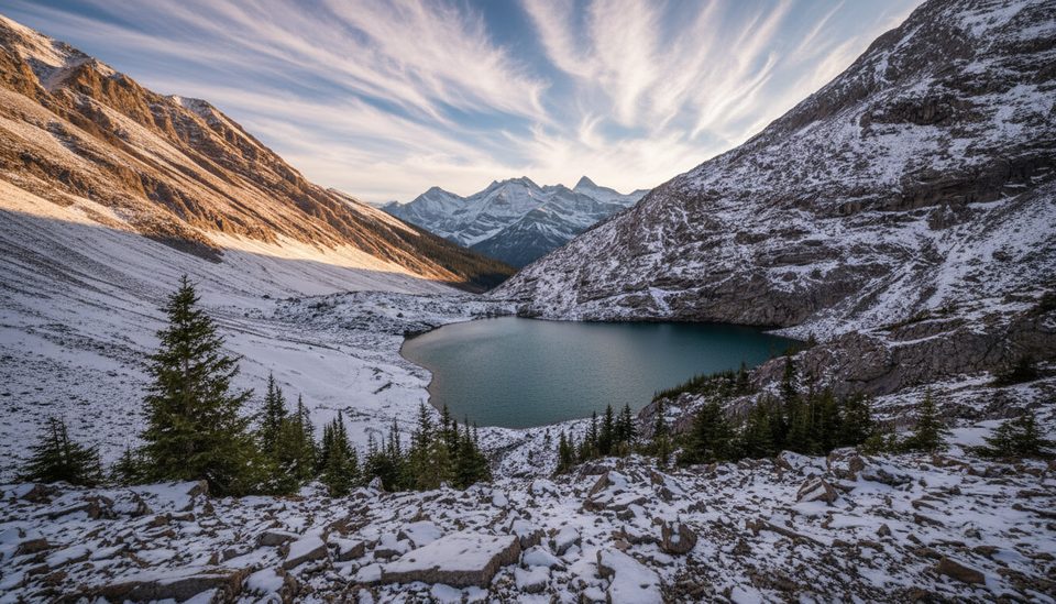
- Spring/early summer: lingering snow can hang on the steep, loose sections; evidence of avalanche paths in the headwall zone—don’t enter avalanche terrain outside safe conditions.
- Summer: mosquitoes can be pesky in the lower forest—repellent helps.
- Fall: larch pockets pop near the rockslide/talus areas; early snow is possible higher up.
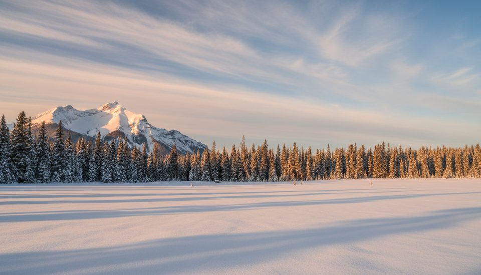
- Winter: this is not a marked winter trail; route‑finding becomes serious and avalanche hazards are present.
- Area note: the Chester Lake area is commonly subject to early‑season closures (example window noted: May 1–June 29 in a recent year). Always check the current Alberta Parks trail report before you go.
Logistics
- Access is via the gravel Smith‑Dorrien/Spray Trail (Hwy 742); allow extra time, especially in winter.
- A Kananaskis Conservation Pass is required to park.
- Vault toilets are at the Chester Lake trailhead; none at the lakes. No potable water—pack your own.
- Cell service is typically unavailable along the Smith‑Dorrien and in this part of the park—download everything beforehand.
Wildlife
Black bear activity has been noted along the approach, and marmots frequent the talus. Carry bear spray, make noise, and follow standard Kananaskis bear protocols.
Extras for experienced parties
From the upper lake, some parties tack on an ascent of Fortress Mountain (significantly more effort and best reserved for stable summer conditions). Off‑trail loops toward Chester Lake via a col require solid route‑finding.
Best time to visit
Start early for cooler temps, steadier footing on the steeps, and a quieter shoreline. Fall brings the prettiest color with the larches; in shoulder seasons bring traction. In any season, check the latest Alberta Parks advisories before committing.
Regulations and allowances
Dogs are allowed on leash. If you plan to fish (cutthroat trout are present), bring an Alberta sportfishing license.