Overview
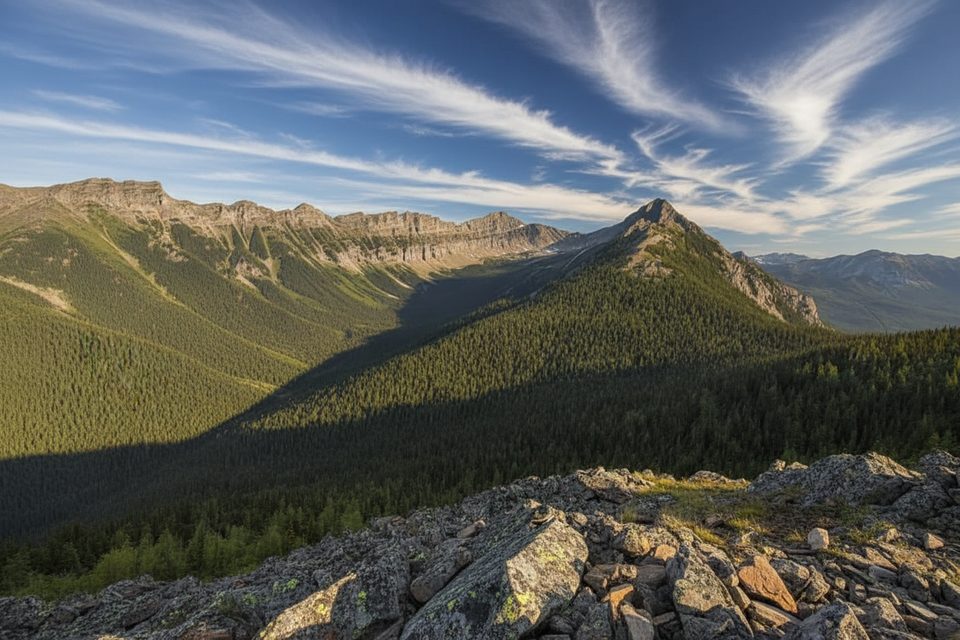
Two different summits in Kananaskis share the name “Grizzly Peak,” both inside or right on the edge of the park experience. One is a fast, thigh‑burning scramble from Grizzly Creek (2545 m). The other (2770 m) uses the Highwood Pass approach through Pocaterra Cirque to a fun, narrowing ridge. Either way, you’re up quickly and staring at serious scenery.
Route options at a glance
- Grizzly Creek route (approx. 5.6 km return, 3–5.5 hours, ~850–900 m gain): Start on an unsigned path just left of Grizzly Creek off Highway 40. It goes from “steep” to “steeper,” with short easy‑scramble steps near ~1 km and again near the top. Expect a tiring, loose scree band for ~700 m, then a lovely meadow/plateau before the final push. Poles are gold on the way down.
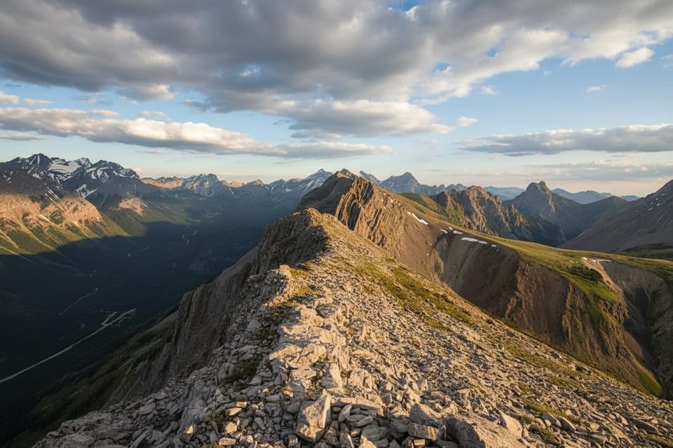
- Highwood Pass route (class 2 feel): From the Highwood Meadows trail, work into the larch‑filled Pocaterra Cirque, climb to Grizzly Col, then turn left up the east ridge. The crest narrows near the summit with mild exposure and a couple of right‑side bypasses. The high trailhead keeps the day reasonable even though the peak is loftier.
What you’ll see
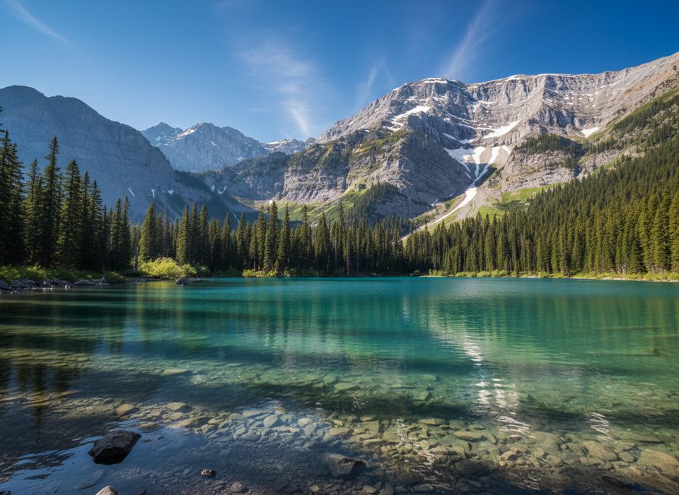
- Lower and Upper Kananaskis Lakes glinting below, plus South Lawson Peak, King Creek Ridge, and Opal Ridge.
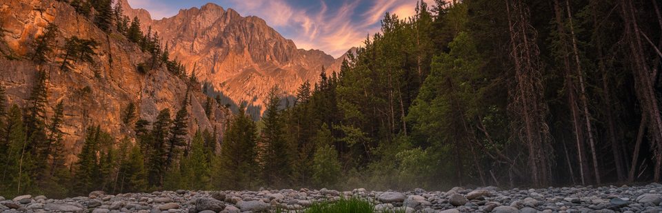
- In fall, the Highwood Pass approach threads superb larch forest and striking folded sedimentary layers.
Season and access
- Highway 40 between Kananaskis Lakes Road and Highwood Junction is closed to vehicles December 1–June 15 for wildlife. That effectively shuts the Highwood Pass start in winter and spring; the main season there runs June to late September.
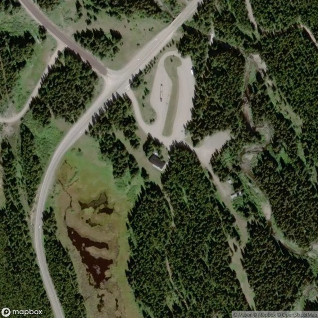
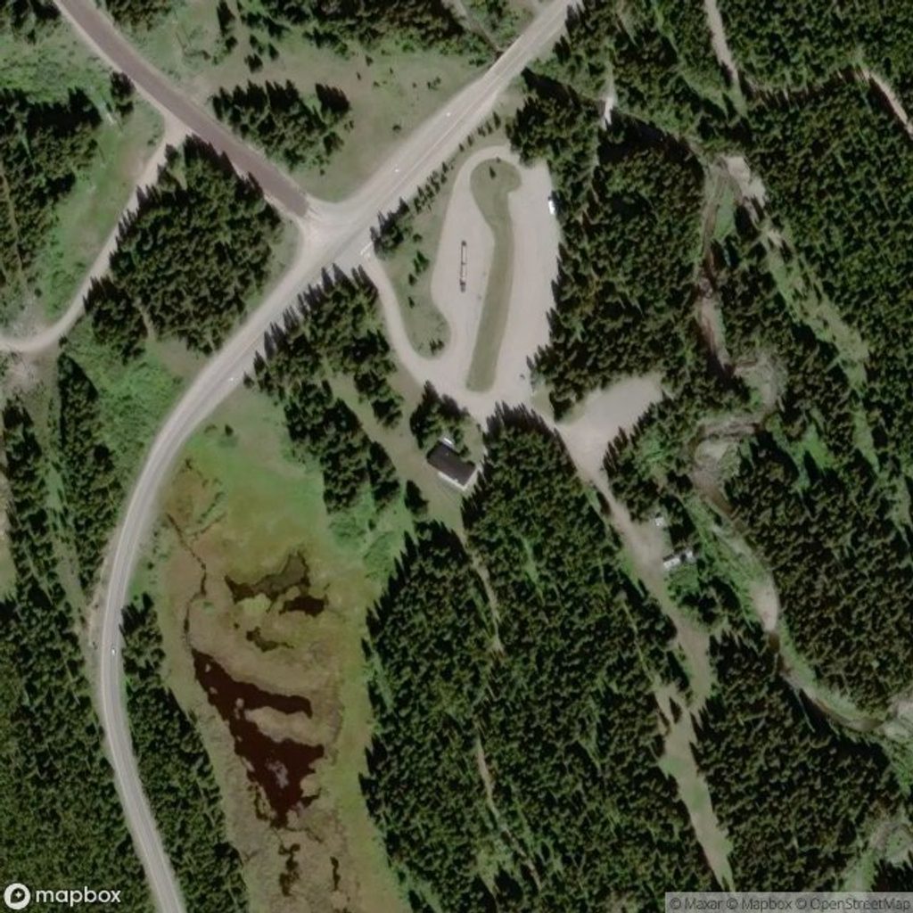
- Grizzly Creek Day Use (the usual access for the shorter route) is a seasonal site, typically open May 10–September 2. Outside those dates, plan on no services.
Safety and wildlife
This is true grizzly country; make noise, carry bear spray, and check recent advisories at the Peter Lougheed Information Centre before you go. Goats frequent the upper slopes—parties above (or goats) can kick rocks, so a helmet isn’t a bad idea on busy or goaty days. It’s easy to drift onto animal paths below treeline; lock in landmarks on your ascent so you can follow your own line back down.
Gear and logistics
Sturdy boots and trekking poles are strongly recommended for the steep dirt and small scree. Bring layers—wind is common on the ridges—and enough food and water for a sustained climb. A Kananaskis Conservation Pass is required per vehicle. No random camping in the park; no drones.
Facilities
- Grizzly Creek Day Use: seasonal, hiking‑focused, and not listed with potable water—bring what you need.
- Peter Lougheed Discovery Centre: your reliable stop for flush toilets, pit/vault toilets, a water tap, Wi‑Fi, and information. Winter hours (Dec 1–Mar 31) are roughly 9:00 am–4:15 pm daily; closed Dec 25.
Best time to visit
June to late September is the sweet spot, with larches peaking in September on the Highwood Pass route. For the Grizzly Creek ascent, cool early starts make the relentless grade friendlier and the descent safer on firmer surfaces. Golden hour light flatters the lakes and ridges from the top.