
Place · 1.9 mi away
Challenging
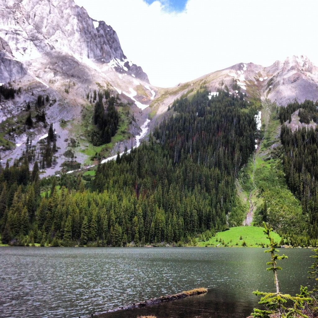
Burstall Pass delivers variety: easy rolling road, soggy willow flats with braided creeks, then a steady climb to sweeping alpine views. Plan on 14.8 km/9.2 miles return to the pass itself, with a popular extension to a nearby viewpoint that brings it to about 16.3 km/10.1 miles total. Elevation gain is roughly 650 m, and most hikers take around 5–6 hours. It’s a rewarding, harder day hike thanks to distance, creek crossings, and a punchy final climb.
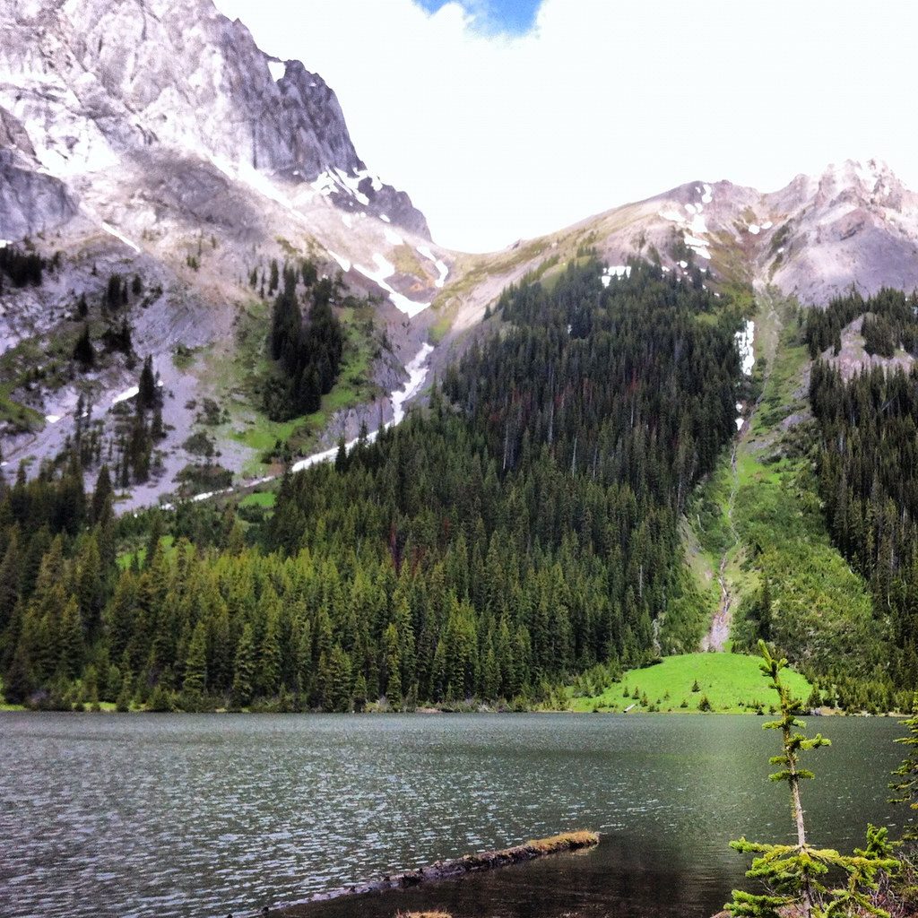
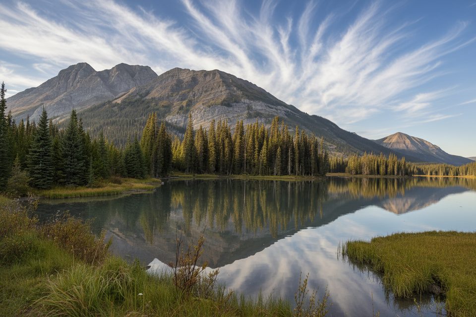
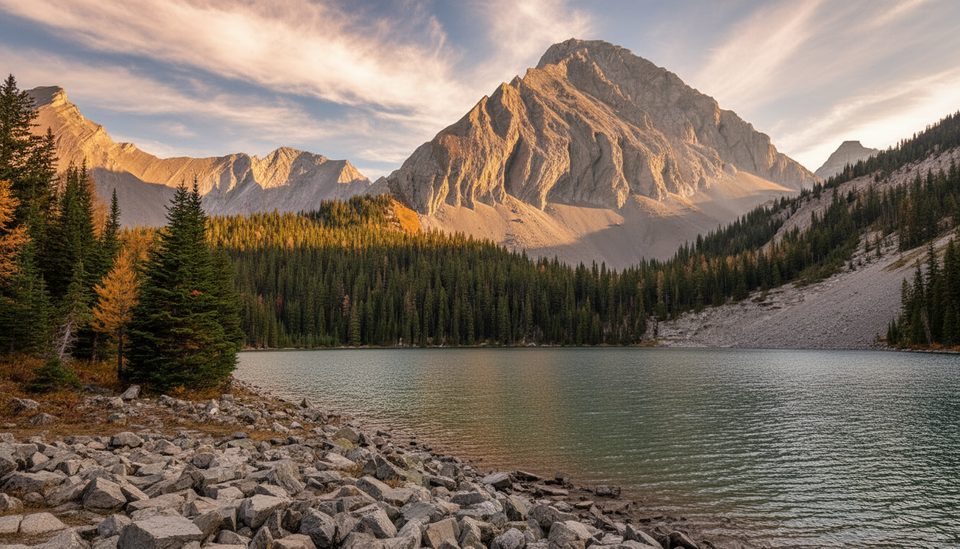
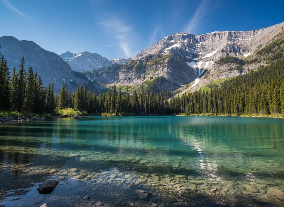
From the large trailhead, the first stretch follows a wide, gently graded former logging road to the Burstall Lakes. Beyond the lakes, the path narrows across willow flats where shallow channels often cover the trail. After the flats, the grade steepens through forest and open meadows to the pass, with panoramic views and larch stands that glow in fall. Confident hikers often tack on a short extension beyond the pass for bigger vistas.
Expect lingering snow into June, and avoid March–May unless you’re equipped for winter travel—avalanche terrain exists past the lakes and the headwall area requires proper gear and training. Early summer (June–July) brings high streamflow across the willow flats; waterproof footwear or sandals help with repeated crossings. Peak larch color arrives in mid–late September and draws crowds. In winter, this corridor is used for cross‑country skiing and other snow travel—treat the terrain with respect and the right skills.
This is active bear country. A grizzly bear warning was in effect at the parking area in late August 2025 after a bluff charge. Travel in groups, make noise, and carry bear spray.
For dry feet and open views, aim for July through early October. Start early on September weekends if you’re chasing larch color—the lot fills and the trail gets busy. Shoulder seasons can be icy or slushy; traction and gaiters are often worthwhile.
If you want a shorter or less committing day with strong fall color, consider Chester Lake or Ptarmigan Cirque. Rawson Lake and Elbow Lake are nearby alternatives when water levels on the flats are running high.
Large trailhead lot off Smith Dorrien Road near Mud Lake; toilets on site. A Kananaskis Conservation Pass is required to park.
Active bear zone (recent grizzly warning at the parking area in late Aug 2025); carry bear spray and travel in groups. Multiple creek crossings across willow flats—expect high streamflow in June–July and plan footwear accordingly. Past the lakes is avalanche terrain; winter travel requires proper training and gear.
Place · 1.9 mi away
Place · 2 mi away
Place · 2.8 mi away
Place · 3.9 mi away
Easy · 0 mi away
Moderate · 0.1 mi away
Moderate · 7.4 mi away
Easy · 7.4 mi away

Parkwolf Tour Guide
