Easy

Hogarth Lakes Loop

Short, flat winter loop around frozen lakes with big mountain views
Hogarth Lakes Loop, Peter Lougheed Provincial Park
Distance2.6 mi
Typical time1.5 hr
DifficultyEasy
PetsAllowed

Overview

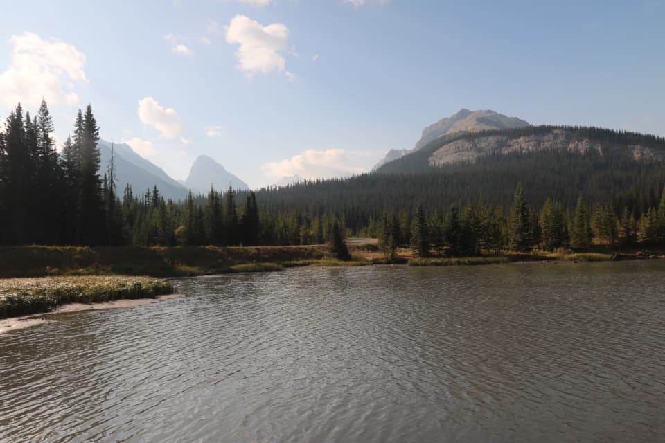
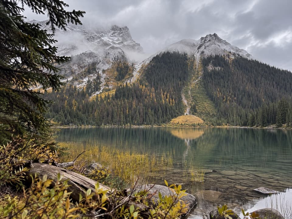
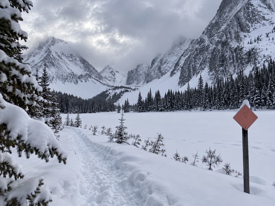
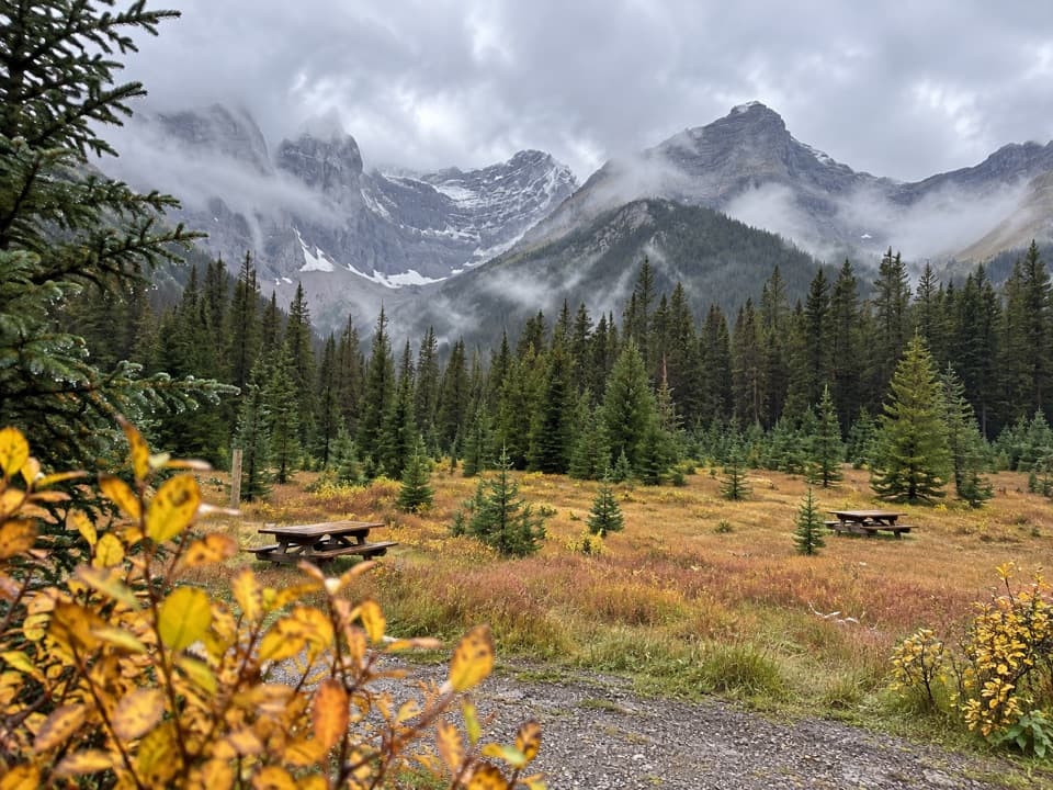
This is the definition of an easy, family-friendly winter wander: a 2.6–2.8 mile total loop (4.2–4.5 km) with roughly 100 ft/30 m of gain. It’s popular for snowshoeing and mellow winter hiking, and it stays mostly in forest with frequent openings along small lakes.

Trail Experience

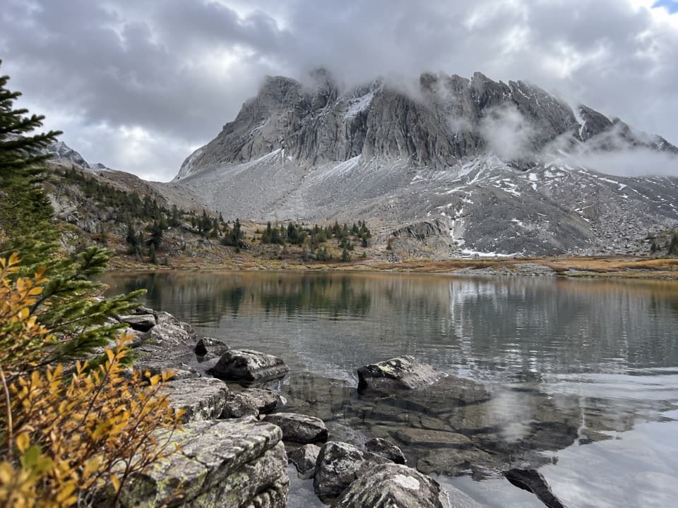
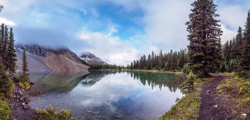
Start from the Burstall Pass Day Use Area and follow the signed snowshoe route (orange/red diamonds). A gentle path meanders through spruce forest, around Mud Lake and the Hogarth Lakes, with a few simple bridge or creek crossings. Clockwise travel is common for straightforward navigation and unfolding views toward Mount Chester and Commonwealth Peak. Mid‑winter, some folks shortcut across lake ice—but only if you’re fully confident it’s solid. Otherwise, stick to the marked shoreline route.

Getting There & Parking

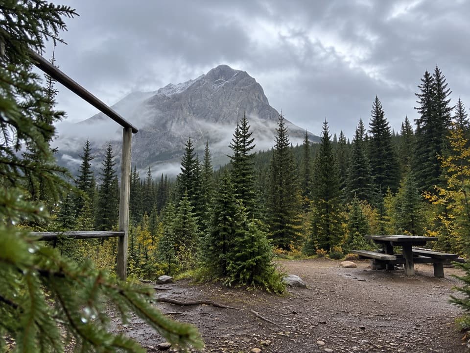
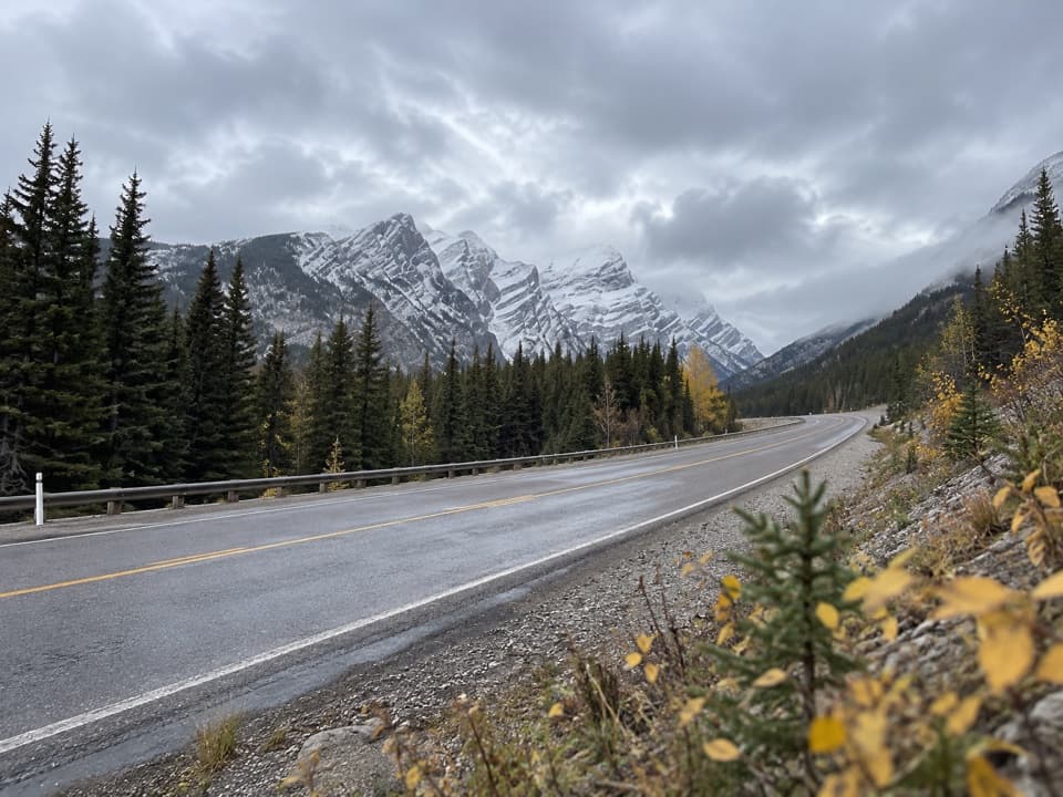
Park at the Burstall Pass Day Use Area, directly across from the Chester Lake trailhead on the Smith‑Dorrien/Spray Lakes Road. The lot is sizable and has an outhouse. The Smith‑Dorrien is gravel and often snow‑packed, icy, and potholed in winter—drive slowly and come equipped.

Best Time to Go

This loop shines from about December through April when snow is deep and the route is well packed. Shoulder seasons can be soggy with variable or thin ice, and summer travel can feel wet and indistinct. Aim for earlier starts for firmer surfaces and fewer people during busy weekends.

Know Before You Go

A Kananaskis Conservation Pass is required for vehicles. Stay on the signed snowshoe trail; adjacent terrain (like toward Burstall Pass) enters avalanche country. Cell service along Smith‑Dorrien is unreliable. Winter tires are strongly recommended; carry a shovel, extra layers, and a hot drink. Typical kit: snowshoes or microspikes (conditions dictate), trekking poles, headlamp (short daylight), and an offline map. Dogs are allowed but must remain leashed, and waste must be packed out.

Wildlife & Nearby Options

Expect a good chance of moose tracks and friendly gray jays; bears are active in warmer months. If you want a longer day with more elevation, nearby Chester Lake offers a bigger payoff, and the flats below Burstall Pass are a pleasant extension (only within the signed snowshoe area if you’re avoiding avalanche terrain).

Pros

  • Sheltered route that stays mostly out of the wind yet still nets big mountain views
  • Well-marked winter route with orange/red snowshoe signs that’s easy to follow

Cons

  • Shoulder seasons can be soggy with variable lake ice and indistinct tread
  • Access road is gravel and sketchy in winter, requiring slow, careful driving

Parking

Burstall Pass Day Use Area on Smith‑Dorrien/Spray Lakes Road, opposite the Chester Lake trailhead; large lot with outhouse.

Caution

Stay on the signed snowshoe loop to avoid nearby avalanche terrain; winter driving on the Smith‑Dorrien can be icy and rough; expect unreliable cell service and thin/variable ice in shoulder seasons; a Kananaskis Conservation Pass is required.

The Parkwolf tour guide sitting on a phone mounted in a car

Parkwolf Tour Guide

Like a tour guide in your car.

Bring Peter Lougheed trail research into the car, with offline maps and stories that play as you drive.Download Parkwolf on the App Store