
Place · 0 mi away
Easy
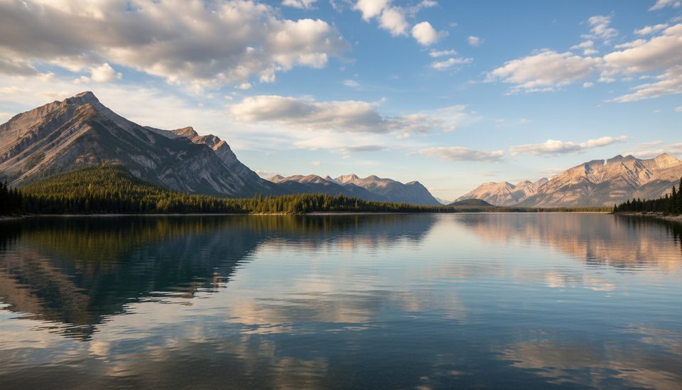
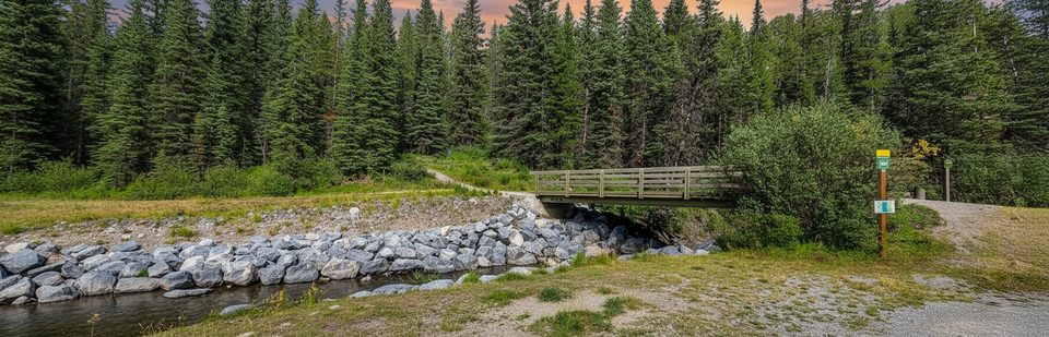
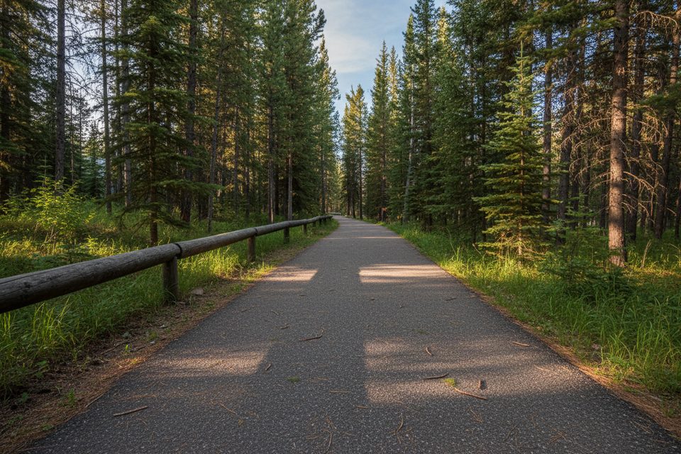
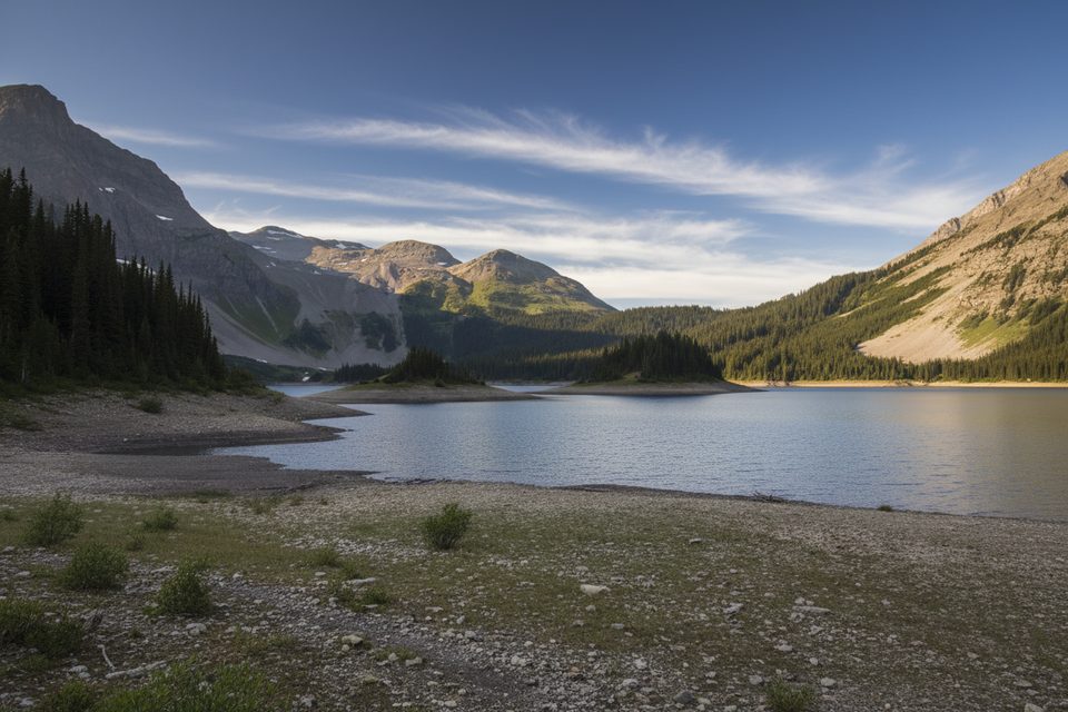
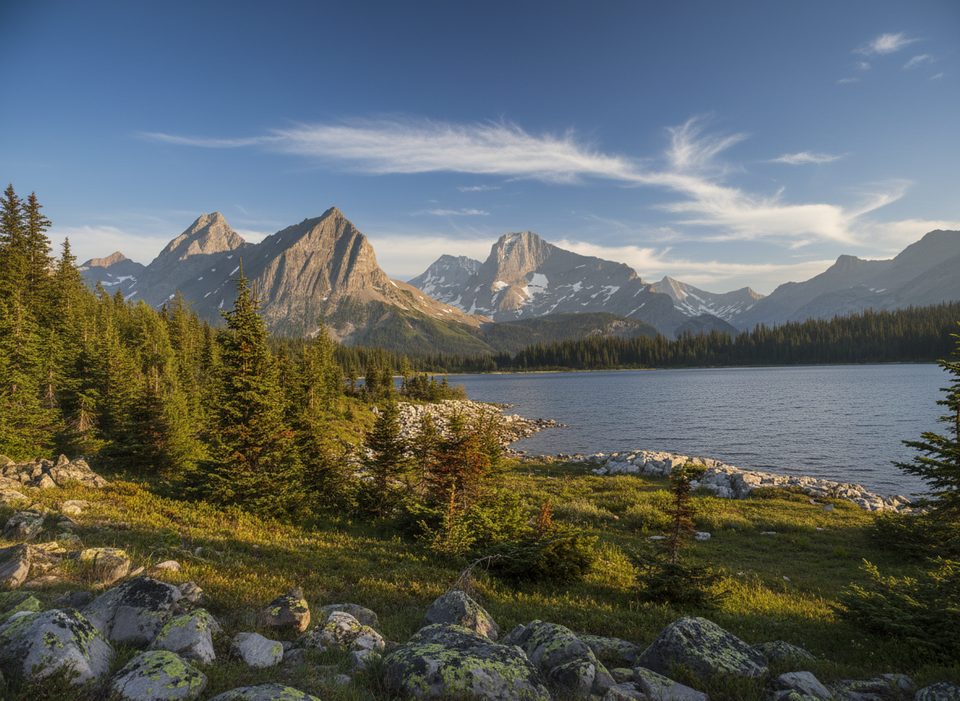
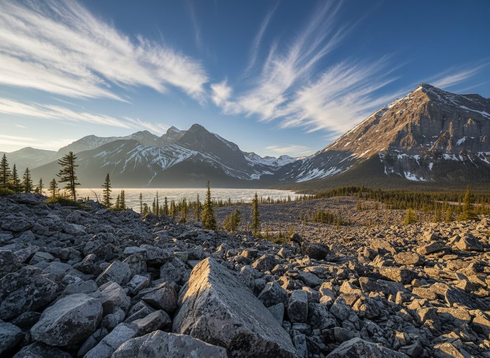
This mellow shoreline path traces the east/north edge of Lower Kananaskis Lake, delivering constant water-and-peak scenery without the punishment. Expect rolling singletrack through forest openings with frequent looks to Mount Indefatigable and the Opal Range reflected in turquoise reservoir water.
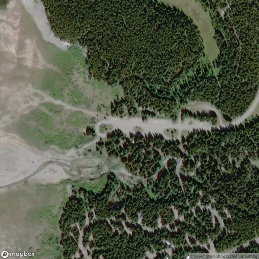
Officially listed as the “Lower Lake” trail, it runs 3.5 km one way between Canyon Day Use (north end) and the Bill Benson Trail near William Watson Lodge. Most hikers do it as an out-and-back for a 7.0 km/4.3 mi total. If you only want a sampler, the short Lower Lake Interpretive option near Canyon Day Use is about 1.1 km out-and-back. Community logs also describe a popular longer shoreline variant around 6.6 km one way—nice if you want more lake time, but the classic out-and-back totals 7 km.
It’s easy-going: a mostly flat, gently rolling tread with occasional narrow sections. Lakeshore wind can make it feel cooler than the forecast; the forested stretches offer welcome shelter between viewpoints. The reward is steady, photogenic mountain-and-water framing rather than a single dramatic destination.
The official season is summer. Aim for calm early mornings or golden-evening light for the best reflections and fewer breezes. Weekdays are typically quieter than weekends. In winter, locals sometimes snowshoe short sections at their own risk, but that’s not the official season—give any cracking or fissured lake ice a wide berth.
Start from Canyon Day Use or from the south end near Lower Lake Day Use/campground. A Kananaskis Conservation Pass is required to park. Group size on this trail is limited to 35. If you have two vehicles, the point-to-point option between the day-use areas makes for an easy shuttle.
Bear warnings can be in effect anywhere in Kananaskis Country—carry the usual awareness and make noise. Shoreline winds are common, roots can be slick in shoulder seasons, and if winter conditions exist, stay well back from any unstable lake edge. Check current trail/advisory notices before you go.
If you’re after a relaxed lakeside stroll with real mountain views and minimal effort, this is a solid pick. For a quick hit, do the short interpretive segment; for a fuller experience, walk the 7 km out-and-back between Canyon Day Use and the south end.
Park at Canyon Day Use (north end) or Lower Lake Day Use/campground; a Kananaskis Conservation Pass is required to park.
Shoreline winds can be cold; sections may be narrow and slick in shoulder seasons. Bear warnings are possible. In winter conditions, keep well back from any fissuring lake ice. Official season is summer; verify advisories and access before visiting.
Place · 0 mi away
Place · 0.1 mi away
Place · 0.6 mi away
Place · 0.6 mi away
Easy · 0.6 mi away
Challenging · 0.9 mi away
Challenging · 0.9 mi away
Moderate · 0.9 mi away

Parkwolf Tour Guide
