

Place · 0 mi away
Moderate
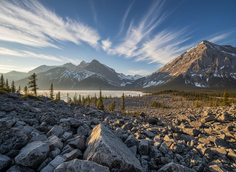
This is the classic circuit around Upper Kananaskis Lake with a rugged, blocky “rock glacier/rockslide” stretch on the north shore and a waterfall break at Sarrail Falls on the south side. It’s a full loop (total distance), long enough to feel like a real day out but never far from shoreline views.
Total distance is roughly 15.6–15.7 km (about 9.7 miles). Most of the loop is hiking-only, but a 3.5 km section between North Interlakes Day Use and the Point Backcountry Campground permits traditional and e‑bikes. Many hikers go counter‑clockwise from North Interlakes so the rocky Interlakes section arrives early while legs are fresh. If you only want the rockslide experience without the full commitment, a popular option is to start at North Interlakes, hike 3.5–4 km to the rockslide, then turn around the same way. From Upper Lake Day Use, Sarrail Falls sits roughly 1.1 km along the south shore—an easy add if you begin there.
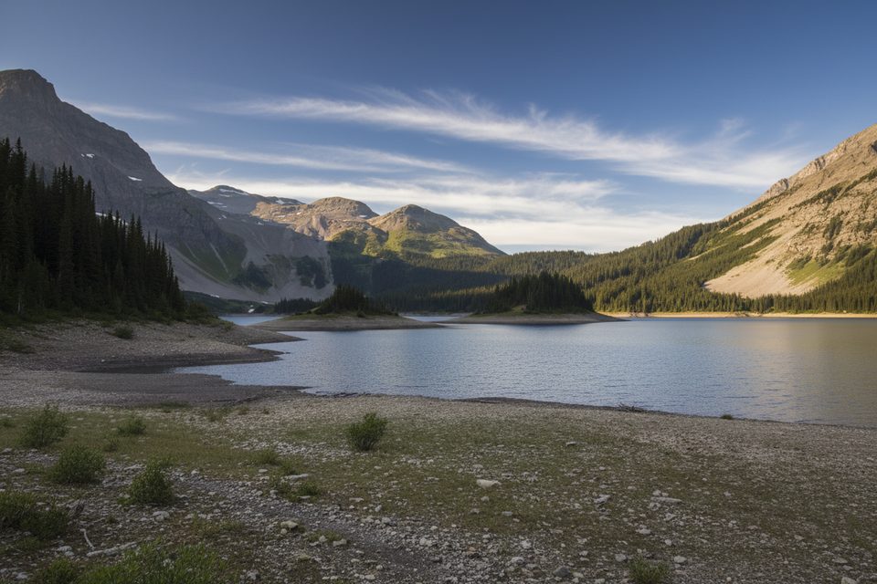
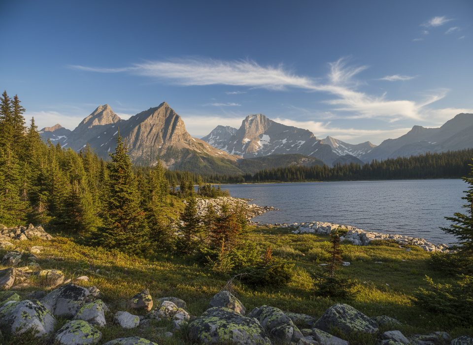
The north‑shore rockslide (often called the “rock glacier”) is a jumble of big, angular blocks with moody lake-and-peak backdrops—slow going but memorable. Along the south shore the mood shifts to forested trail, streams, and the photogenic punch of Sarrail Falls. Wildlife is possible: this is grizzly and moose country, so stay alert and give animals space.
Expect winter conditions: snow/ice on the trail, slushy lakeshore sections, and short daylight. Microspikes and poles make a big difference. Portions of the loop cross or sit below avalanche terrain in winter—plan conservatively and turn around if conditions don’t feel right. Stay off lake ice. Early season often brings thin snow over roots/rocks and icy creek crossings; travel times will be slower than summer.
A Kananaskis Conservation Pass is required to park here. Start from either North Interlakes Day Use or Upper Lake Day Use. Pack traction, warm layers, a headlamp, and solid navigation. If committing to winter sections beneath slide paths, bring appropriate avalanche gear and training. For a shorter sampler, that out‑and‑back to the rockslide from North Interlakes delivers the goods without the full loop time.
Late spring through fall offers the easiest footing and longest light. Winter can be beautiful but requires traction, caution, and conservative decision‑making. Weekdays and early starts help with solitude and calmer light on the lake.
Park at North Interlakes Day Use or Upper Lake Day Use; a Kananaskis Conservation Pass is required to park.
Winter brings avalanche exposure on sections of the loop, slick ice and slushy lakeshore, thin snow over rocks/roots, and icy creek crossings. Carry traction and poles, stay off lake ice, and turn around if conditions deteriorate. Bear spray recommended year‑round.
Place · 0 mi away
Place · 0.1 mi away
Place · 0.1 mi away
Place · 0.6 mi away
Challenging · 0 mi away
Challenging · 0 mi away
Easy · 0.9 mi away
Easy · 1.4 mi away

Parkwolf Tour Guide
