
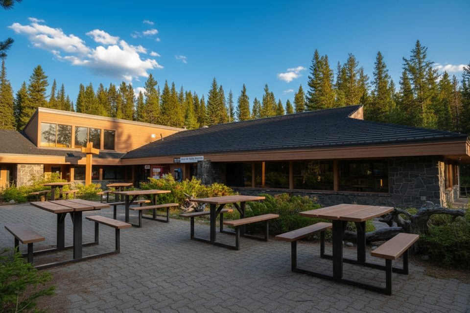
Place · 0.1 mi away
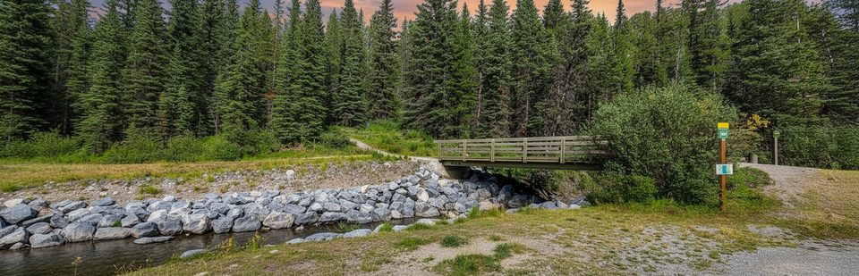
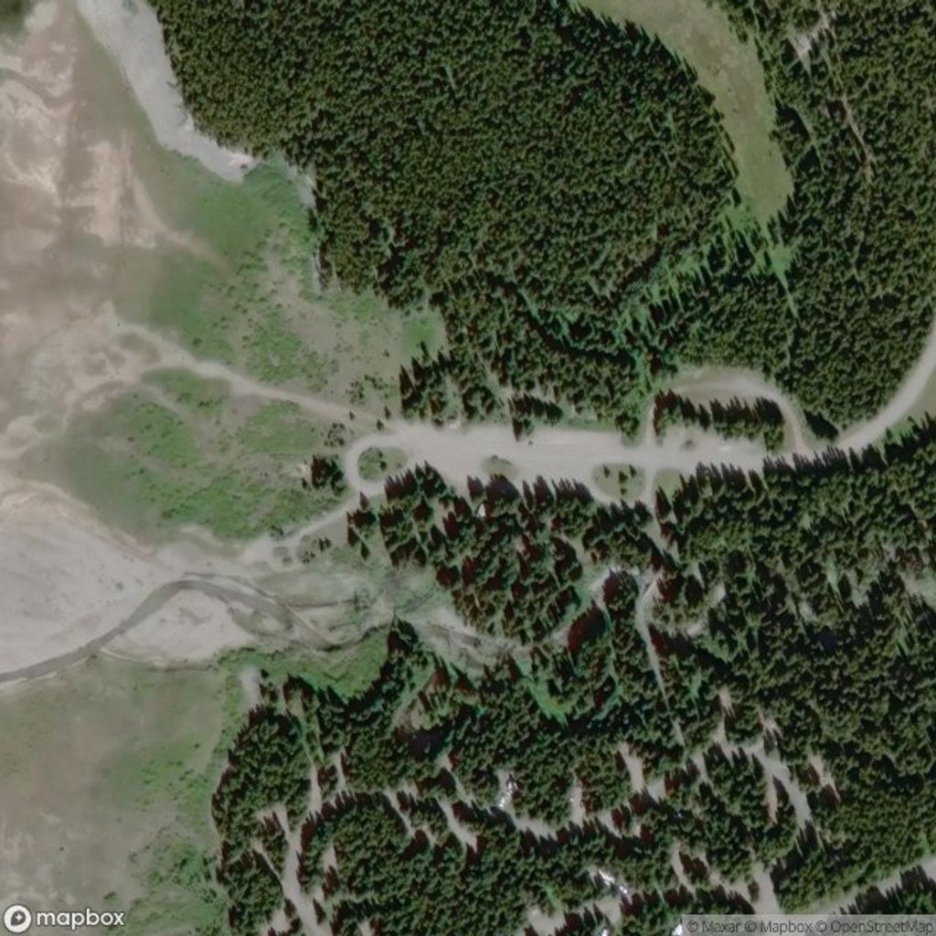
A low‑key, useful stop beside Boulton Creek, this day‑use area is the kind of place you pull into for an easy picnic and then wander straight onto the trails. It’s open year‑round and sits near Boulton Creek Campground, so it works well for campers and day trippers alike.
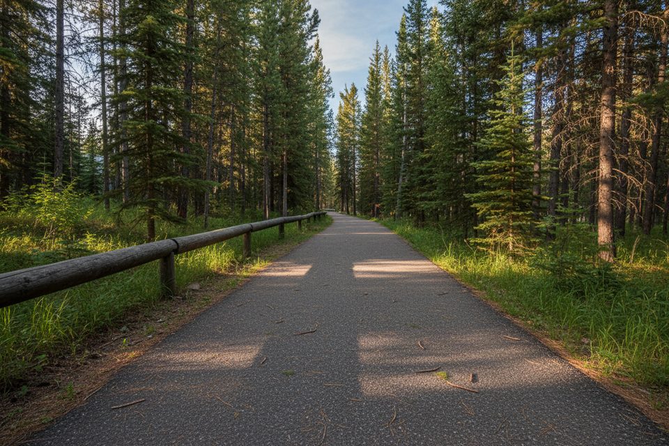
From this access you can connect to groomed routes in the Kananaskis Lakes system—think Boulton Creek, Fox Creek, Moraine, Whiskey Jack, Packers, and more. Grooming and conditions fluctuate through the season, so verify current status before you commit to a longer loop.
Expect picnic tables, firepits, and pit/vault toilets. It’s a straightforward setup—no frills, but exactly what you need for a quick stop before or after a lap on the trails.
Bring or download the Spray Valley & Peter Lougheed geo‑referenced map for year‑round navigation, and the Kananaskis Lakes Ski Trails map in winter. The Boulton Creek Trail interpretive pamphlet adds context if you’re exploring nearby. For up‑to‑date closures or wildlife notices, check park advisories or call Alberta Parks Info at 1‑877‑537‑2757.
Mornings are reliably quieter; mid‑day sees more picnic traffic, especially on weekends. In winter, start early for firmer tracks and easier navigation if it snows. Shoulder seasons can bring changing advisories—always take a last look before you drive out.
Place · 0.1 mi away
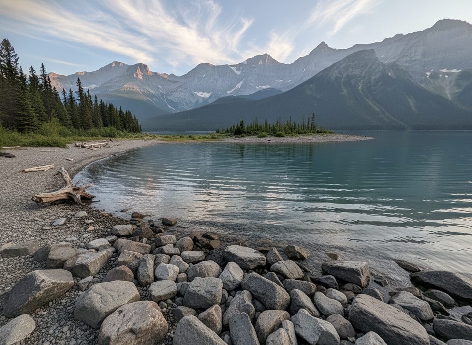
Place · 0.2 mi away
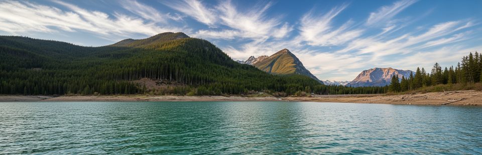
Place · 0.5 mi away
Place · 0.6 mi away
Easy · 0 mi away
Easy · 0.6 mi away
Moderate · 1.1 mi away
Challenging · 1.4 mi away

Parkwolf Tour Guide
