
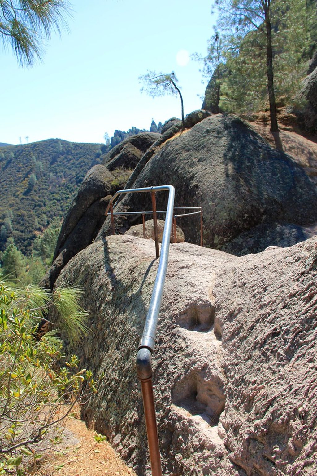
Place · 0.4 mi away
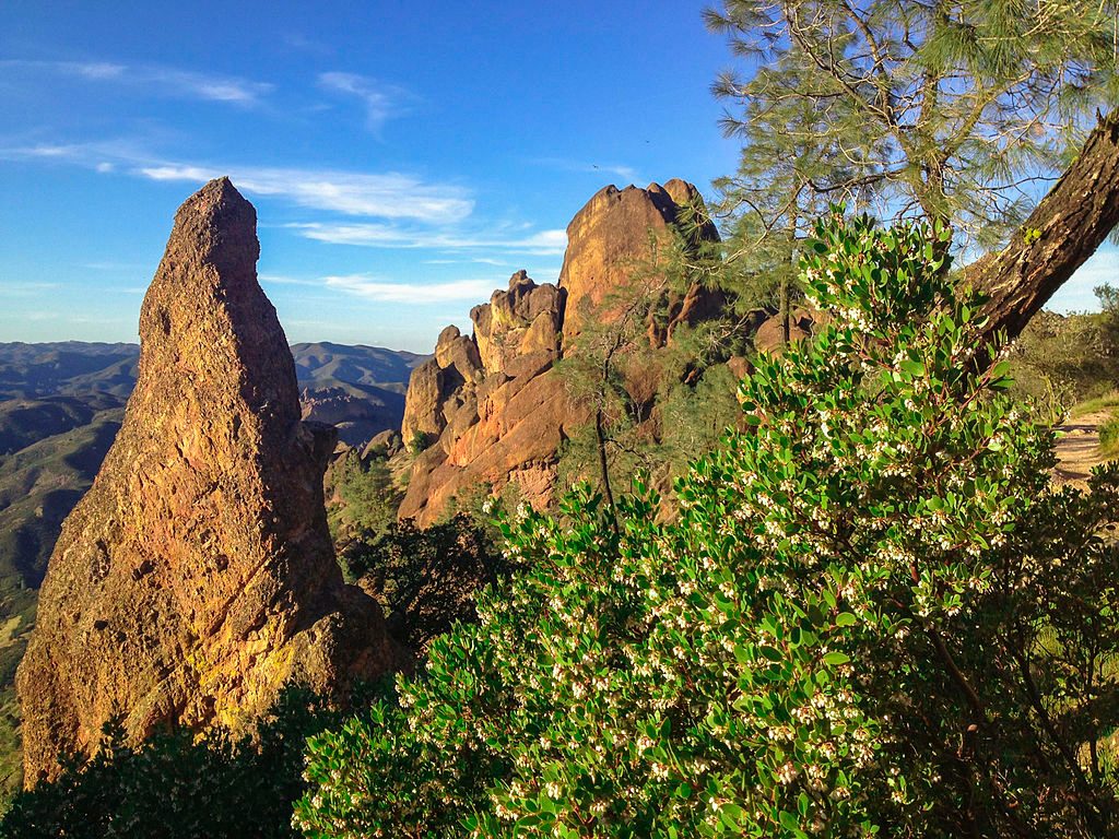
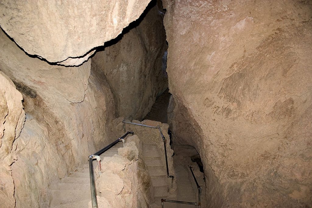
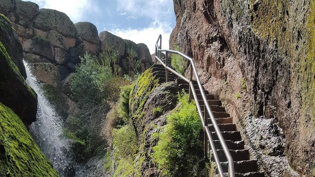
High Peaks is the park’s signature ridge route: volcanic spires, airy traverses, and a handrail-assisted “Steep and Narrow” section that’s as fun as it sounds. It’s strenuous, exposed, and absolutely delivers on views and wildlife if you come prepared.
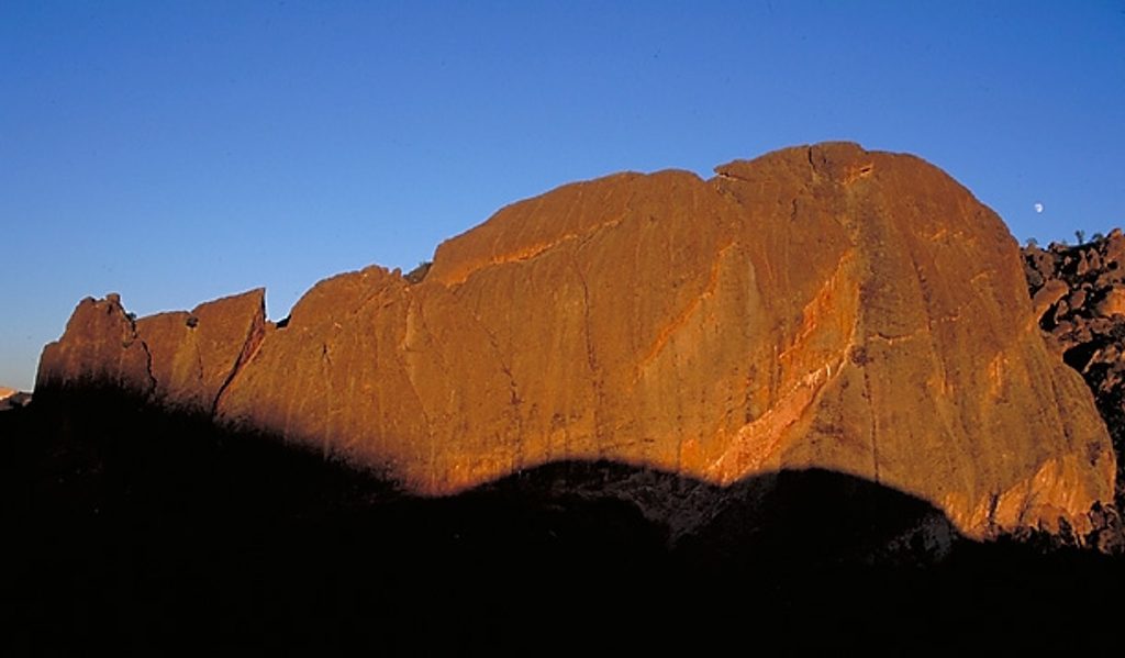
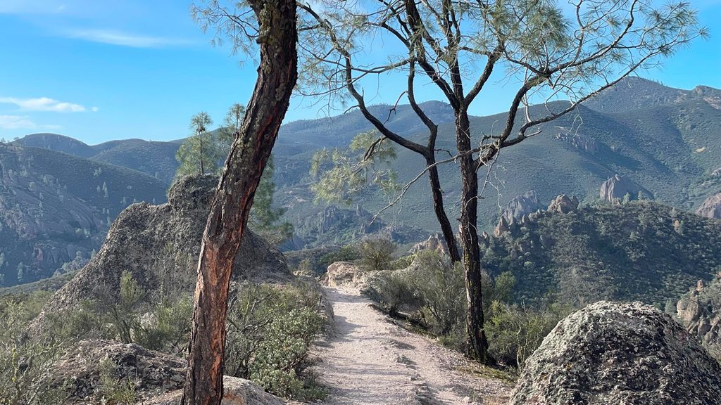
Expect classic Pinnacles scenery: knife-edged ridges, talus caves, and big panoramas across formations like Machete Ridge and the Citadel. Spring often brings wildflowers (February–May). This ridge is prime condor country—bring binoculars and watch for soaring wings. You may also spot peregrine falcons, eagles, and, on occasion, tarantulas in season.
This is a challenging hike with steep grades, narrow passages, and rock-cut stairs. Exposure is real but key sections have railings. Rock can be slick when wet—grippy footwear helps. Heat is the biggest hazard here: shade is sparse and summer temperatures can soar. Carry plenty of water (plan generously), use sun protection, and start early. Watch for poison oak and rattlesnakes. Cell service is limited, pets and bikes aren’t allowed on trails.
If Bear Gulch Cave is open, it’s a fantastic way to start the loop—bring a flashlight or headlamp. The cave and reservoir add variety and cool air, but cave access can close seasonally to protect bat colonies, so check status at the entrance or with rangers.
Most hikers start on the east side at Moses Spring/Bear Gulch Day Use. There’s also access from the west (Chaparral/Juniper Canyon). Note: the park’s east and west sides are not connected by an internal road, so choose your entrance wisely. Up on the High Peaks ridgeline you’ll find a bench viewpoint and a simple bathroom. There’s no potable water on the trail; pack it all in. Trail intersections can be busy—pay attention to signs.
Clockwise via Bear Gulch works well: Cave (if open) → Reservoir → Rim → climb to the ridge → traverse the “Steep and Narrow” → descend Condor Gulch back to Bear Gulch.
Fall through spring is the sweet spot, with the best combo of temperatures and visibility. Wildflowers often peak February–May. Whatever your season, beat both heat and crowds by starting early; avoid hot afternoons, especially in summer. Wet days make rock stairs slippery—save the traverse for drier conditions.
Place · 0.4 mi away
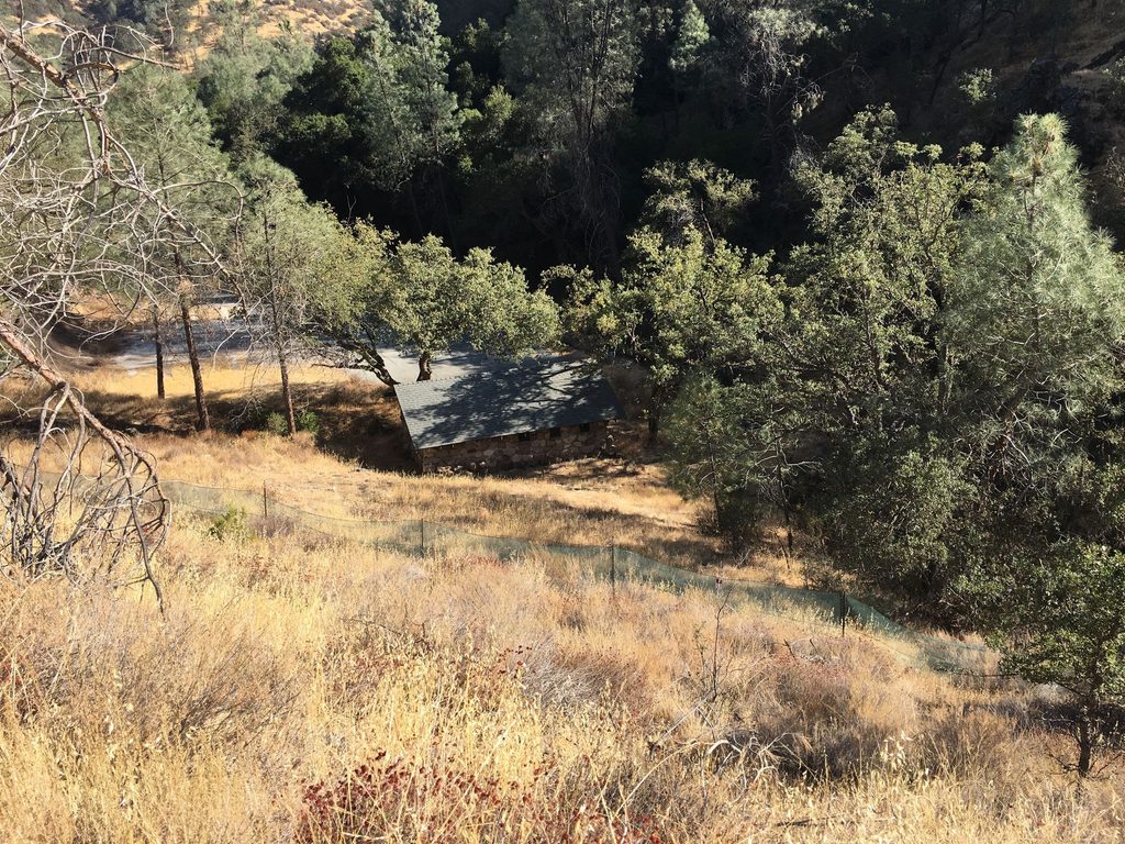
Place · 0.7 mi away
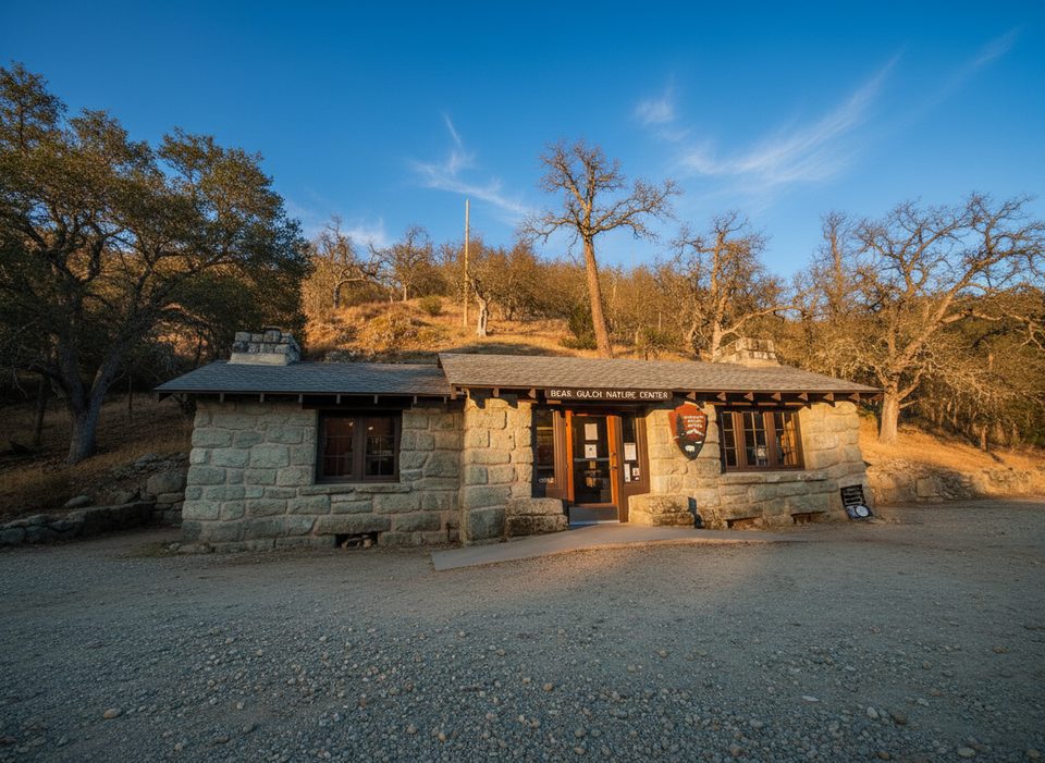
Place · 0.7 mi away
Place · 1 mi away
Moderate · 0.6 mi away
Challenging · 0.7 mi away
Moderate · 0.7 mi away
Moderate · 0.7 mi away

Parkwolf Tour Guide
