Condor Gulch Overlook in Pinnacles National Park

#5 of 14 sights in Pinnacles

Sight · Pinnacles National Park

Condor Gulch Overlook

A worthwhile rocky pause before the tougher High Peaks climb.

Photo: Wikimedia Commons
Type
Sight
Nearest trail
0.7 mi
Audio stories
8 nearby
  • Scenic viewpoint

Hear the audio tour

Bear Gulch to High Peaks

Overview

About Condor Gulch Overlook

Why stop

  • The rocky High Peaks skyline stands over the gulch from the overlook.

Heads up

  • The exposed, uphill mile earns a view that gets wider farther along.
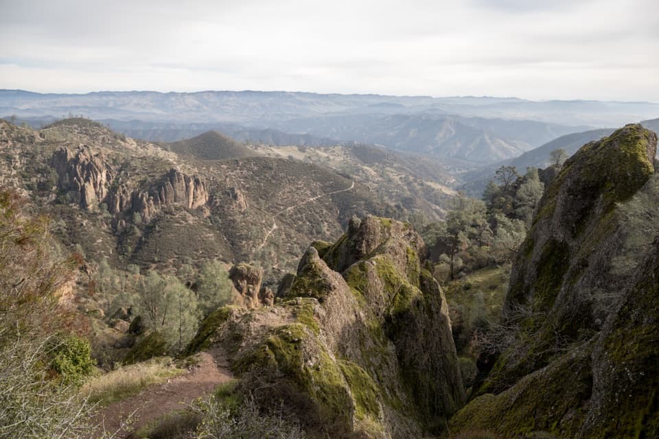
Condor Gulch Overlook is a rocky viewpoint about a mile up Condor Gulch Trail from Bear Gulch. The High Peaks rise above the route here, and the gulch falls away below. It is a worthwhile midway view, especially if you want a shorter out-and-back; if you keep climbing, the bigger panorama comes farther up the trail.
Parkwolf’s verdictA worthwhile first-mile stop

Map

Where it is

Loading the Pinnacles map
Full map
SightCondor Gulch Overlook36.48521, -121.19250
Keep this map with you offline in the Parkwolf app

Plan your stop

Before you go

2 active Pinnacles alerts

  • CautionVery high fire danger restrictionsVery high fire danger is active; follow Pinnacles’ fire restrictions. - Because fire danger is VERY HIGH, wood-burning fires and charcoal grills are prohibited.Official details
  • CautionHot conditions and heat alertHot conditions and a heat alert are active; limit strenuous hiking to early morning and late evening and prepare for temperatures above the forecast.Official details
Pinnacles alerts
A park ranger sits on a dash-mounted phone, talking, as Parkwolf’s Tour Guide plays “Army Cutworm Moths: A Grizzly Bear Buffet” on Grand Loop Road below Dunraven Pass in Yellowstone
Parkwolf Tour GuideThe highest, rockiest slopes around here are a summer buffet for grizzly bears.

Pinnacles Tour Guide

Your drive to Condor Gulch Overlook, narrated.

Parkwolf is a GPS audio tour guide for Pinnacles National Park. As you drive, it chimes in with what’s ahead: hidden gems, upcoming stops, history, geology, and wildlife, right through your car’s speakers.

Recorded for this place

Bear Gulch to High Peaks
0:00 / 0:24
“Up ahead is Bear Gulch Day Use Area, with access to the Condor Gulch and High Peaks loop. Allow three to five hours for this strenuous five point three mile hike among the spires.”

Plays as you drive up to Condor Gulch Overlook in the Parkwolf Pinnacles Tour Guide.

More stories near here in the app

  • Bear Gulch Cave and Reservoir
  • Chaparral and Balconies Cave
  • Old Pinnacles and Machete Ridge
  • North Chalone Peak via Bear Gulch
  • 12 audio storiesacross Pinnacles’s roads, triggered by GPS as you drive
  • Wildlife heatmapsfor California Condor, Mule Deer, Chipmunk, and 13 more
  • Works offlinemaps, 25 trails, 23 places, and audio download before you lose signal
  • CarPlay readysimple controls built for the drive
★★★★★
“Fantastic app with many points of information… It’s great to just turn on while you’re driving and it gives you an audio tour of the national Park. We love it!!!!”
JMJamesApp Store review
Download Parkwolf on the App StoreGet Parkwolf on Google Play

4.7 from 8,600+ ratings

Guide

More about Condor Gulch Overlook

Make the climb workThis is a hike, not a roadside pullout.

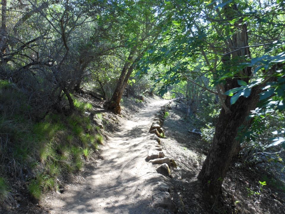
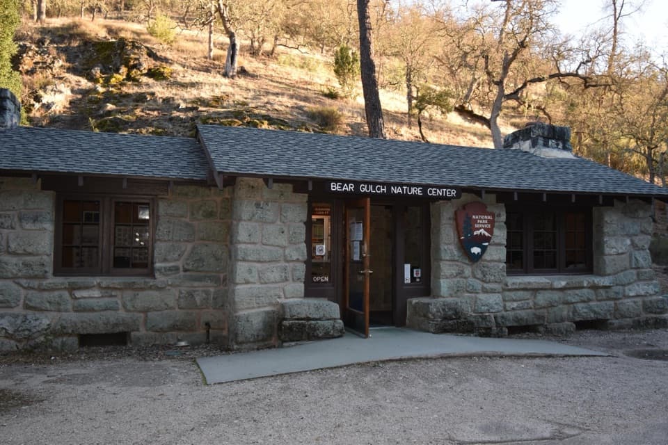
This is a hike, not a roadside pullout. From Bear Gulch Day Use Area on the east side of the park, find the trail near the Nature Center. The overlook is about one mile uphill over dirt and rock, with no shade; one route estimate puts the gain to this point at roughly 760 feet. Plan on about two miles round trip to the overlook. The full trail is 1.7 miles one way, and the stretch beyond the viewpoint gets strenuous. There is no water along the trail, so start with enough for the hike; a liter per hiking hour is a sensible minimum. On hot days, choose cooler hours. Restrooms are back at Bear Gulch Day Use Area, not at the overlook. Pets are not allowed on the trail; service animals are.

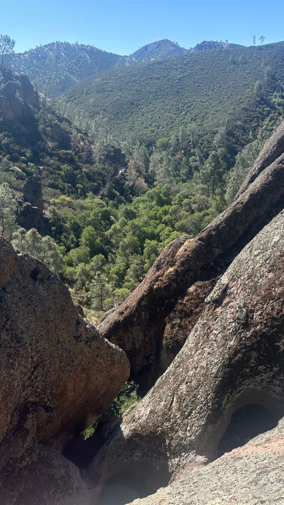
Look down, then keep going if you want moreFrom the overlook, you can look down the green Condor Gulch drainage and up at the High Peaks…

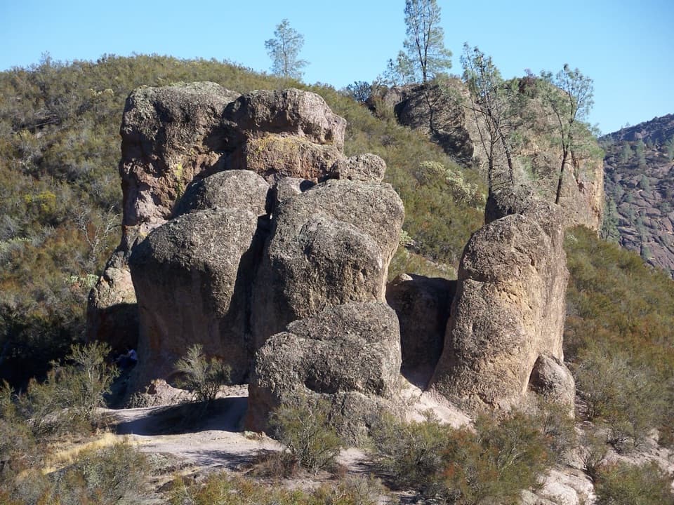
From the overlook, you can look down the green Condor Gulch drainage and up at the High Peaks formations towering over it. This is a good place to pause, but it is not the route's highest or widest view; visitors who want the biggest panorama should continue toward High Peaks and expect a tougher climb. Water has carved hollows in the volcanic rock below, which can carry small waterfalls after storms, but that is an occasional sight rather than a dependable feature. For a photo, keep one of the foreground boulders at the bottom of the frame to show the drop into the gulch.

The High Peaks are volcanic debrisMuch of the High Peaks' jagged rock is breccia: broken volcanic material cemented together.

Much of the High Peaks' jagged rock is breccia: broken volcanic material cemented together. Large landslides near ancient vents sent that debris downslope, likely in underwater sediment flows, where it mixed with ash and lava. The Pinnacles volcanic formation was emplaced about 23 million years ago; erosion later opened its fractured rock into the cliffs and spires you see overhead.

The condor comebackCondors may pass above the trail, but this overlook is not a sure place to see one.

Condors may pass above the trail, but this overlook is not a sure place to see one. Pinnacles joined the California Condor Recovery Program in 2003 and manages a release site for captive-bred birds. In 2010, biologists confirmed Pinnacles' first condor nest in more than a century, a major step in the species' return to central California.

Wildlife

Wildlife in Pinnacles

All Pinnacles wildlife maps

Sighting maps show where each species has been reported across Pinnacles. Wildlife moves, so no sighting is guaranteed.

Keep exploring

Near Condor Gulch Overlook

See it all on the map

Trails nearby

More stops nearby

Parkwolf’s Pinnacles ranking

Top sights in Pinnacles

All 23 places
  1. 1Bear Gulch ReservoirSight
  2. 2Bear Gulch CaveSight
  3. 3Balconies CaveSight
  4. 4Prewett Point OverlookSight
  5. 6North Chalone PeakSight
  6. 7Peaks View Parking AreaSight

Take Parkwolf to Pinnacles.

The audio tour guide for the drive, plus offline maps, trails, and wildlife heatmaps for when the signal drops.

4.7 from 8,600+ ratings

Download Parkwolf on the App StoreGet Parkwolf on Google Play