Machete Ridge in Pinnacles National Park

Sight · Pinnacles National Park

Machete Ridge

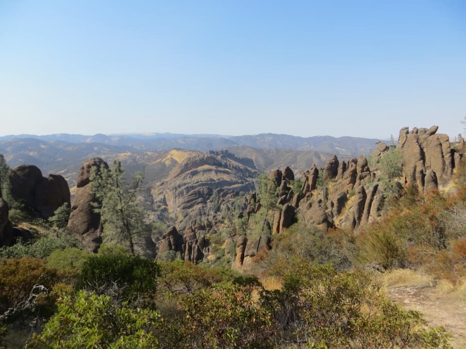
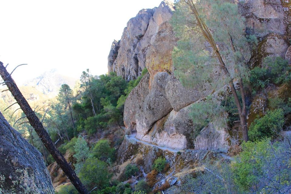
A huge fractured wall looms over the trail to Balconies Cave.

Photo: Wikimedia Commons
Type
Sight
Nearest trail
0.6 mi
Audio stories
7 nearby

Hear the audio tour

Old Pinnacles and Machete Ridge

Overview

About Machete Ridge

Why stop

  • A massive rock formation above the Old Pinnacles Trail

Map

Where it is

Loading the Pinnacles map
Full map
SightMachete Ridge36.49746, -121.20149
Keep this map with you offline in the Parkwolf app

Plan your stop

Before you go

2 active Pinnacles alerts

  • CautionVery high fire danger restrictionsVery high fire danger is active; follow Pinnacles’ fire restrictions. - Because fire danger is VERY HIGH, wood-burning fires and charcoal grills are prohibited.Official details
  • CautionHot conditions and heat alertHot conditions and a heat alert are active; limit strenuous hiking to early morning and late evening and prepare for temperatures above the forecast.Official details

Pinnacles alerts
A park ranger sits on a dash-mounted phone, talking, as Parkwolf’s Tour Guide plays “Army Cutworm Moths: A Grizzly Bear Buffet” on Grand Loop Road below Dunraven Pass in Yellowstone
Parkwolf Tour GuideThe highest, rockiest slopes around here are a summer buffet for grizzly bears.

Pinnacles Tour Guide

Your drive to Machete Ridge, narrated.

Parkwolf is a GPS audio tour guide for Pinnacles National Park. As you drive, it chimes in with what’s ahead: hidden gems, upcoming stops, history, geology, and wildlife, right through your car’s speakers.

Recorded for this place

Old Pinnacles and Machete Ridge
0:00 / 0:26
“Old Pinnacles Trailhead is coming up, the east-side start for the walk beneath Machete Ridge to Balconies Cave. The moderate cave-and-cliffs outing is about five and a half miles and takes three to five hours.”

Plays as you drive up to Machete Ridge in the Parkwolf Pinnacles Tour Guide.

More stories near here in the app

  • Chaparral and Balconies Cave
  • The Woodpeckers’ Acorn Pantry
  • Bear Gulch to High Peaks
  • Bear Gulch Cave and Reservoir
  • 12 audio storiesacross Pinnacles’s roads, triggered by GPS as you drive
  • Wildlife heatmapsfor California Condor, Mule Deer, Chipmunk, and 13 more
  • Works offlinemaps, 25 trails, 23 places, and audio download before you lose signal
  • CarPlay readysimple controls built for the drive
★★★★★
“Fantastic app with many points of information… It’s great to just turn on while you’re driving and it gives you an audio tour of the national Park. We love it!!!!”
JMJamesApp Store review
Download Parkwolf on the App StoreGet Parkwolf on Google Play

4.7 from 8,600+ ratings

Guide

More about Machete Ridge

Look up along the trailMachete Ridge is a massive, fractured rock wall rising above the Old Pinnacles Trail toward…

Machete Ridge is a massive, fractured rock wall rising above the Old Pinnacles Trail toward Balconies Cave. It is a landmark to notice on the hike, not a separate roadside stop; the payoff is that broken, tilted face looming overhead. If you are already walking this route, take a moment to look up. I would count it as a memorable stretch of the hike, not a reason to expect an easy walk to the crest.

Set expectations for the approachThe established visitor route is the Old Pinnacles Trail to Balconies Cave: 5.

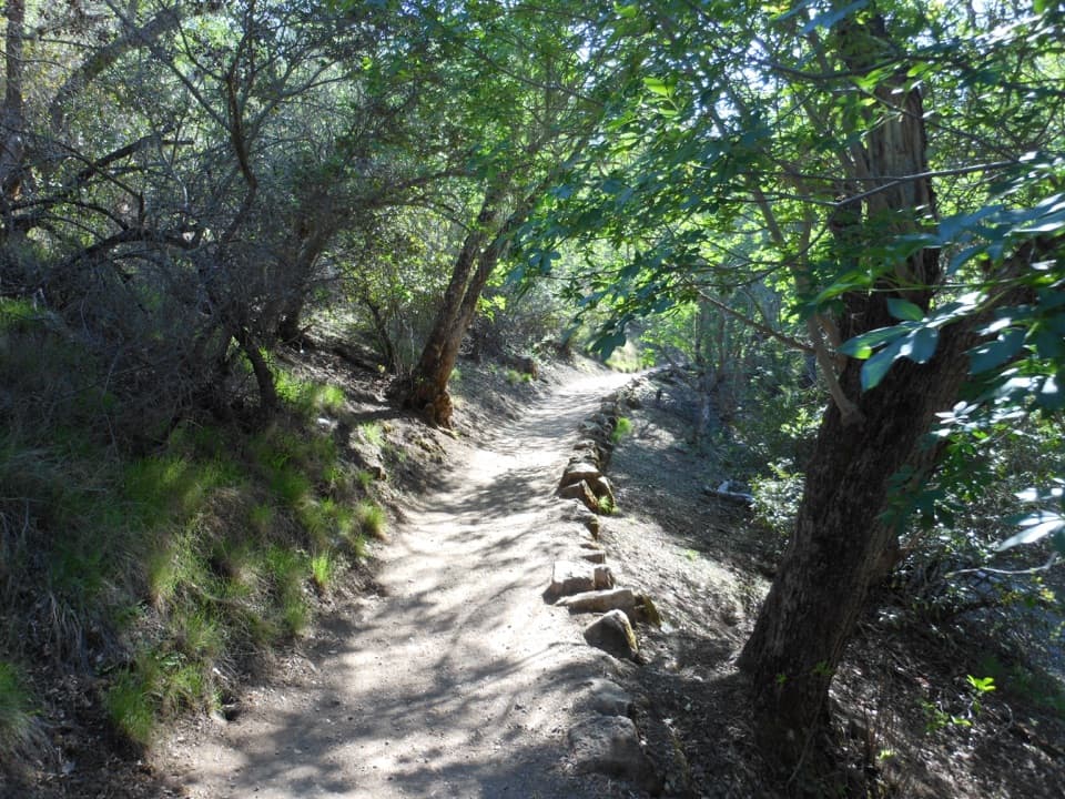
The established visitor route is the Old Pinnacles Trail to Balconies Cave: 5.3 miles round trip, moderate, and three to five hours for the whole outing. The trail follows Chalone Creek, with Machete Ridge among the formations above it. Those distance and time figures cover the full trail outing, not a ridge summit hike. The map pin locates the ridge itself, not a visitor pullout; see it from the Old Pinnacles Trail. Old Pinnacles Trailhead has a 21-space gravel lot. Bring a flashlight or headlamp if you continue through Balconies Cave.

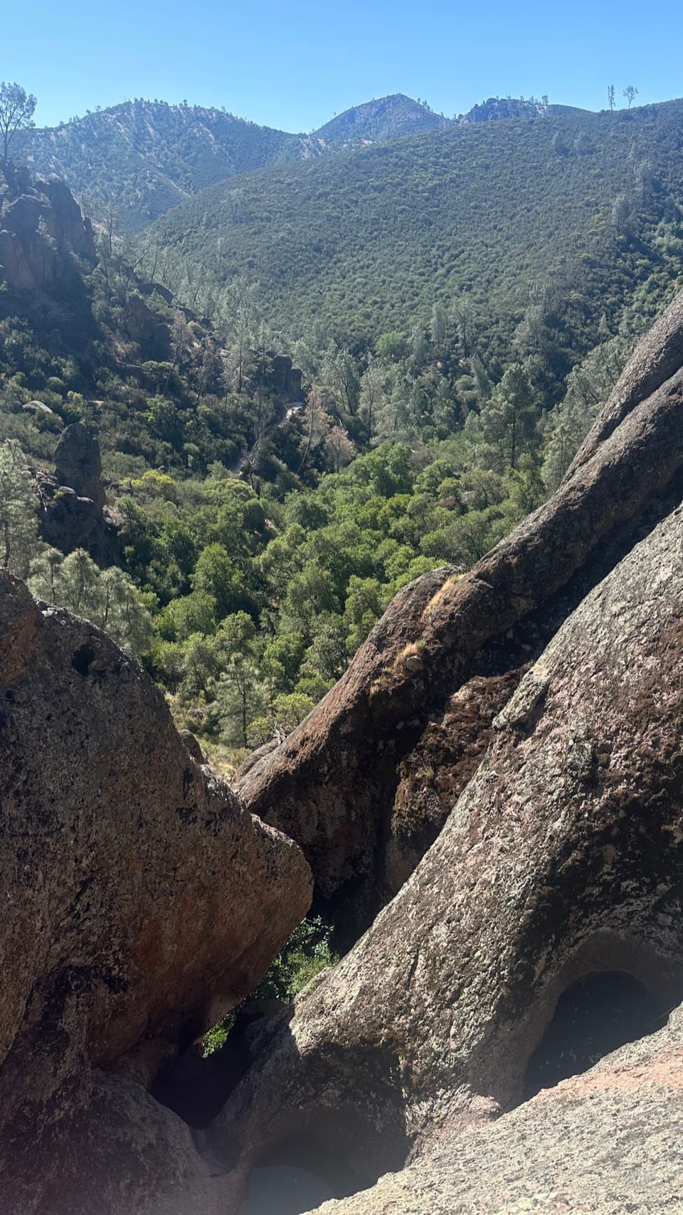
Read the rockMachete Ridge is made of volcanic breccia, a mass of broken volcanic rock fragments.

Machete Ridge is made of volcanic breccia, a mass of broken volcanic rock fragments. Its blocky, fractured face is also a climbing wall with multi-pitch routes. The volcanic breccia can be loose in places, and these technical climbs are for experienced climbers, not a casual walk-up summit. Climbing routes can close seasonally to protect nesting raptors, so check current climbing advisories before planning a route.

Frame the scaleFrom the Old Pinnacles Trail, include some chaparral or the path below the rock and keep the…

From the Old Pinnacles Trail, include some chaparral or the path below the rock and keep the full ridgeline against the sky. That foreground helps show the wall's scale; a tight crop can make it look like an ordinary rock face.

Wildlife

Wildlife in Pinnacles

All Pinnacles wildlife maps

Sighting maps show where each species has been reported across Pinnacles. Wildlife moves, so no sighting is guaranteed.

Keep exploring

Near Machete Ridge

See it all on the map

Trails nearby

More stops nearby

Parkwolf’s Pinnacles ranking

Top sights in Pinnacles

All 23 places
  1. 1Bear Gulch ReservoirSight
  2. 2Bear Gulch CaveSight
  3. 3Balconies CaveSight
  4. 4Prewett Point OverlookSight
  5. 5Condor Gulch OverlookSight
  6. 6North Chalone PeakSight

Take Parkwolf to Pinnacles.

The audio tour guide for the drive, plus offline maps, trails, and wildlife heatmaps for when the signal drops.

4.7 from 8,600+ ratings

Download Parkwolf on the App StoreGet Parkwolf on Google Play