Mount Iron

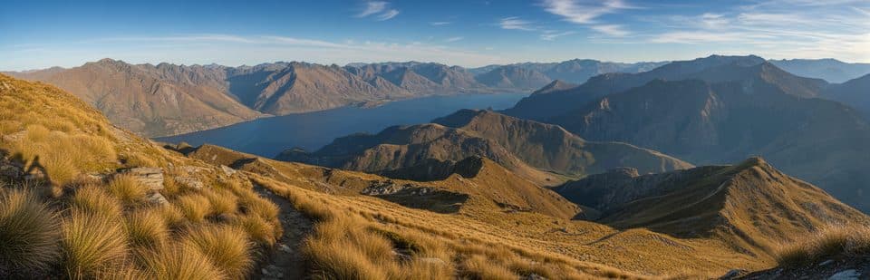
Short climb with big 360-degree views over Wānaka and ranges
Mount Iron, Queenstown-Lakes District, New Zealand
InsideQueenstown-Lakes District, New Zealand

Overview

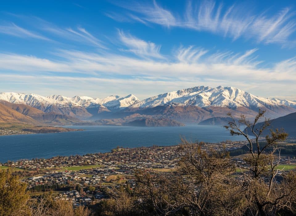
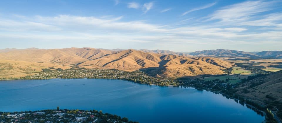
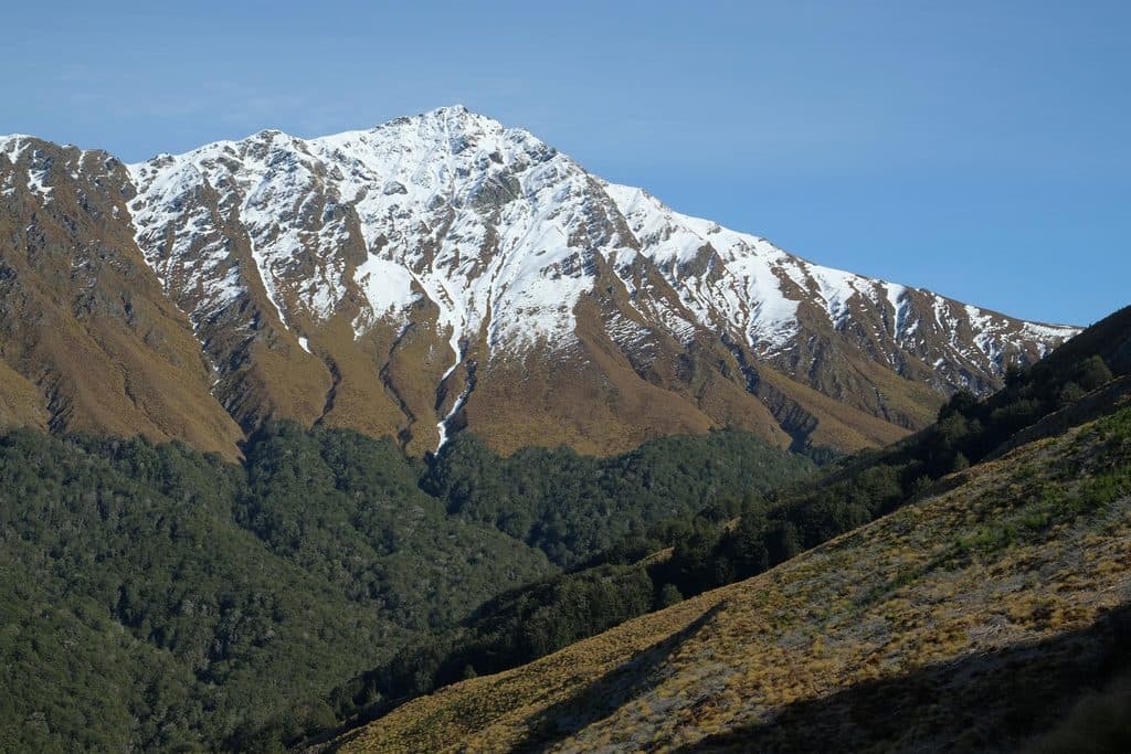
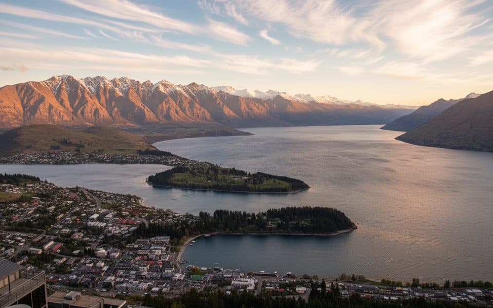
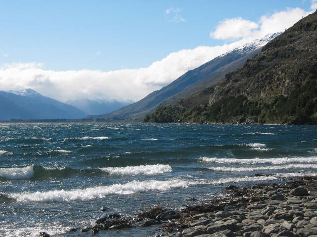
Mount Iron is a glacier‑carved knoll just outside Wānaka, offering a punchy loop to a panoramic summit. You’re up quickly and rewarded with sweeping views across Lake Wānaka, Lake Hāwea, Roy’s Peak, the Pisa Range, the Upper Clutha Basin, and the Southern Alps/Kā Tiritiri o te Moana. It’s popular for good reason and makes a brilliant first walk in the area.

The Track at a Glance

  • Distance/time: roughly 4.5–4.7 km loop, 1.5–2.5 hours, moderate with some steep, loose sections.
  • Elevation: climbs about 240 m, rising ~250 m above the surrounding plain.
  • Route: From the SH84 car park, cross the stile and take the left fork through kānuka shrubland to the summit. Descend the eastern side, then follow the base track back around to complete the loop. Many walkers prefer going clockwise for a steadier climb and better views on the way up. Expect some rocky/eroded footing; after the steep downhill you’ll briefly walk parallel to the highway on a gravel path.

What You’ll See

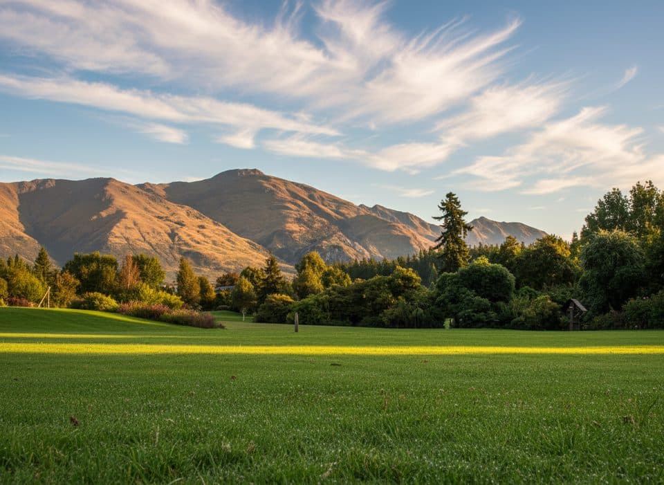
Expect continuous views on the ascent and true 360‑degree panoramas on top. There’s a handy bench before the true peak with a great lakes outlook. Vegetation is mainly low kānuka shrubland with other dryland natives around the reserve margins.

Wildlife

Kānuka habitats commonly support small native birds like pīwakawaka/fantail, tauhou/silvereye and riroriro/grey warbler. Local monitoring has also recorded kārearea/New Zealand falcon using the area—give falcons plenty of space, especially in breeding season.

Geology (why it looks like a whaleback)

Mount Iron is a classic roche moutonnée—bedrock smoothed on the up‑ice side and plucked rough on the lee—sculpted by glaciers that once overran the Wānaka basin. You can read that shape in the rounded summit and scoured flanks.

Logistics

  • Location: About 2 km from Wānaka; signed car park off SH84.
  • Facilities: Free but small car park; toilets about 100 m after the trailhead. No water taps—bring your own.
  • Dogs/bikes: Dogs allowed on‑leash (the track crosses private land). No mountain bikes over the top; a lower link toward Albert Town is shared‑use.

Best Time to Visit

Clear, sunny days deliver the grandest views. Go early morning to beat the crowds and heat, or time it for sunrise/sunset if you’re comfortable with low‑light hiking—pack a headlamp if starting or finishing in the dark. In winter, expect icy or muddy patches.


Seasonal Notes and Safety

The reserve can close in summer during periods of extreme wildfire risk (check local council notices). It’s often breezy on top and there’s little shade—carry water, sun protection, and wear shoes with decent grip. Poles help on the steeper, looser bits.

Pros

  • Big 360° summit views over lakes, ranges, and the Upper Clutha
  • Quick, moderate loop close to Wānaka with a free car park

Cons

  • Small car park fills quickly at busy times
  • Loose, slippery sections after rain or winter; some of the loop parallels the highway

Tips

  • Hike the loop clockwise for a steadier climb and better ascent views.
  • Arrive early; the small free car park fills fast on clear days.
  • Bring water—there are toilets but no taps or refill points.
  • Wear grippy shoes; sections can be loose and slippery after rain or in winter.
  • Keep dogs leashed and stay on formed tracks; parts of the route cross private land.
The Parkwolf tour guide sitting on a phone mounted in a car

Parkwolf Tour Guide

Like a tour guide in your car.

Save the places you found around Queenstown-Lakes District, then let Parkwolf guide the drive between them.Download Parkwolf on the App Store