Parking
Dedicated car park off SH84 (main road into Wānaka from the east); 5‑minute drive or 20–30 minute walk from town. Toilets about 100 m after the trailhead.
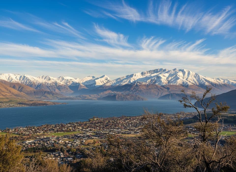
Queenstown-Lakes District, New Zealand, OT
Short local loop to 360 degree views over Wanaka and the ranges
Overview
Mount Iron is a glacier-sculpted rocky knoll rising nearly 250 m above the Upper Clutha Basin, with broad views over Lake Wānaka, Lake Hāwea, the Cardrona Valley, the Pisa Range, Mount Aspiring National Park, and the Southern Alps. The complete loop is about 2.8 miles/4.5 km with roughly 790 ft/241 m of cumulative gain.
Mount Iron is an accessible Wānaka outing with a sustained climb, a high open viewpoint, and a clearly mapped return loop.
 Parkwolf’s verdictBottom line
Map & elevation
Plan your hike

The highest, rockiest slopes around here are a summer buffet for grizzly bears.
Queenstown-Lakes District Tour Guide
Parkwolf is a GPS audio tour guide for Queenstown-Lakes District, New Zealand. As you drive, it chimes in with what’s ahead: hidden gems, upcoming stops, history, geology, and wildlife, right through your car’s speakers.
See the Queenstown-Lakes District audio tourRecorded for this trailhead
Mount Iron: The Local's Favourite Climb“The prominent hill you see near town is Mount Iron. Its summit track is a local favourite, and you'll often see people running or walking it for daily exercise.”
Plays as you drive up to this trailhead in the Parkwolf Queenstown-Lakes District Tour Guide.
More stories near here in the app
“Fantastic app with many points of information… It’s great to just turn on while you’re driving and it gives you an audio tour of the national Park. We love it!!!!”


Trail guide
Start at the car park off SH84, cross the stile, and take the left fork up Mount Iron’s western side. After the summit information panels, descend the eastern side and follow the track around the foot of the hill back to the car park. The verified mapped loop is 4.584 km; the stored line follows the full closed walking corridor, including the lower return section alongside the highway.
This is a short but steep-in-places dirt and gravel walk, with loose rock and sections that can be muddy, slippery, or rutted after rain and icy in winter. Wear shoes with good grip; trekking poles can help on steeper sections. DOC lists about 1 hr 30 min, while pace and photo stops can make the outing take longer.
The route crosses a prominent schist outcrop shaped by glaciation, with low kānuka shrubland on the slopes. The open summit is exposed to wind and provides a 360-degree panorama.
The trailhead is about 2 km from Wānaka on the main road from the east. Toilets are about 100 m after the start. Dogs are allowed only on a leash because access to the scenic reserve crosses private land. Mountain bikes are not permitted over the top of Mount Iron; only the lower link is bikeable.
Wildlife
 189 sightingsKeaMost seen around 5 PMSighting map
 18 sightingsKākāMost seen around 6 PMSighting map
 195 sightingsKererūMost seen around 10 AMSighting map
 48 sightingsWekaMost seen around 6 PMSighting map
 239 sightingsTūīMost seen around 8 AMSighting map
 97 sightingsBellbirdMost seen around 6 AMSighting map
Sighting maps show where each species has been reported across Queenstown-Lakes District. Wildlife moves, so no sighting is guaranteed.
Keep exploring
 ChallengingRoy's Peak Track16.1 km · 5.5 hr · 7 km awaySteep switchbacks to Lake Wanaka’s most iconic ridgeline view
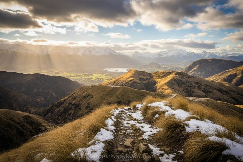 ChallengingMotatapu Track48.9 km · 23 hr · 13 km awaySteep hut-to-hut alpine traverse linking Wānaka and Arrowtown via Macetown.
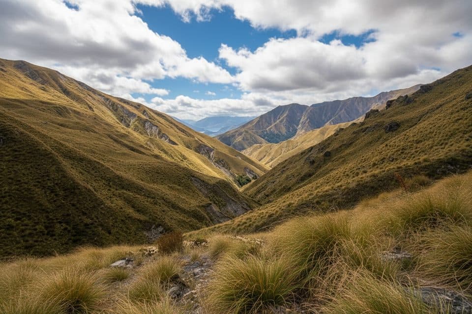 ModerateFern Burn Track14 km · 7 hr · 13 km awayRooty beech forest to a tussock hut with real backcountry feel
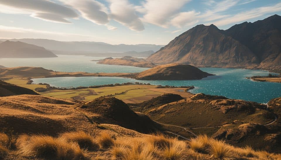 ModerateRocky Mountain Summit Track7 km · 3 hr · 16.2 km away7 km loop from Diamond Lake to Rocky Mountain’s 775 m summit
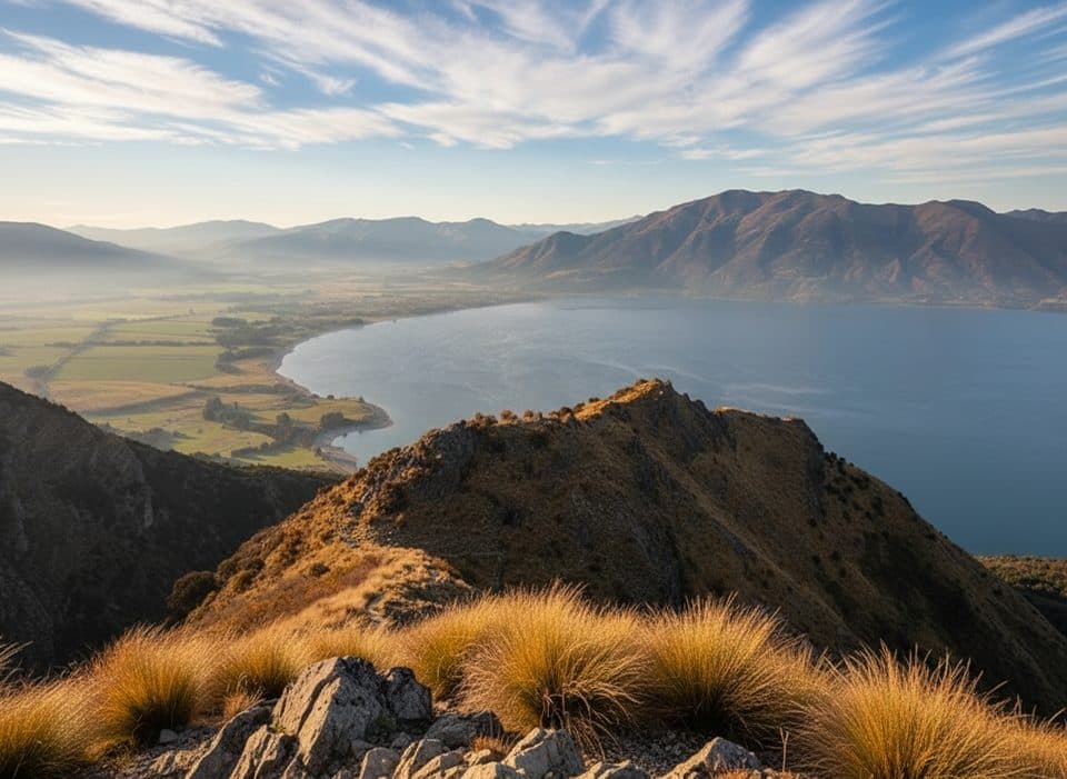 ChallengingBreast Hill Track (Pakituhi Track)8.2 km · 6 hr · 17.7 km awaySteep 5.1-mile hut out-and-back with huge Lake Hāwea views
 Sight · 0.5 km awayMount IronShort climb with big 360-degree views over Wānaka and ranges
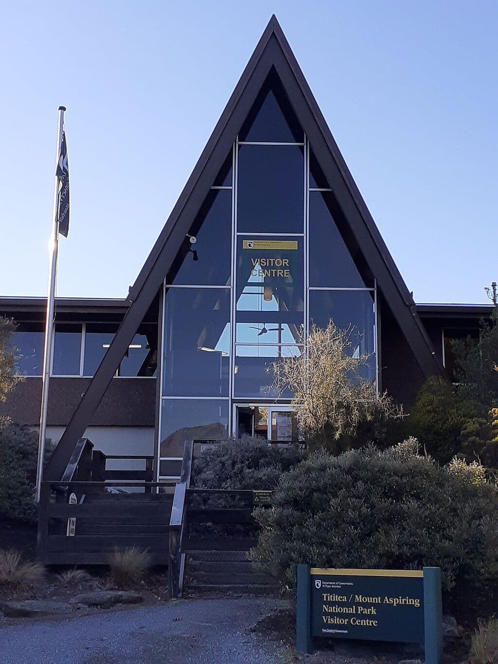 Visitor center · 1 km awayMount Aspiring National Park Visitor CentreDOC HQ for permits, advice, and last-minute supplies
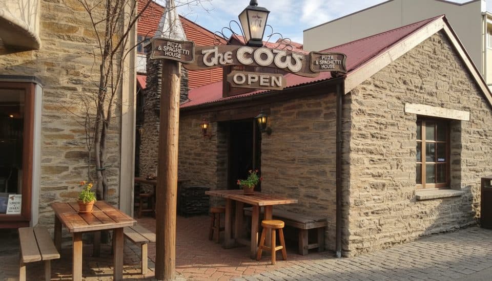 Restaurant · 1.3 km awayThe Cow Pizza & SpaghettiLegendary stone stable pizzeria with hearty pies and a fireplace
 Sight · 1.9 km awayWanaka WharfHistoric lakefront wharf for swims, jumps and big views
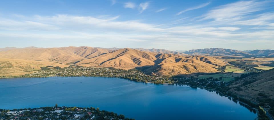 Beach · 2.4 km awayRoys BayWanaka’s central lakeside beach for swims, SUPs and sunset strolling
 Beach · 2.9 km awayBremner Bay ReserveSheltered, shallow bay for easy swims with big alpine views
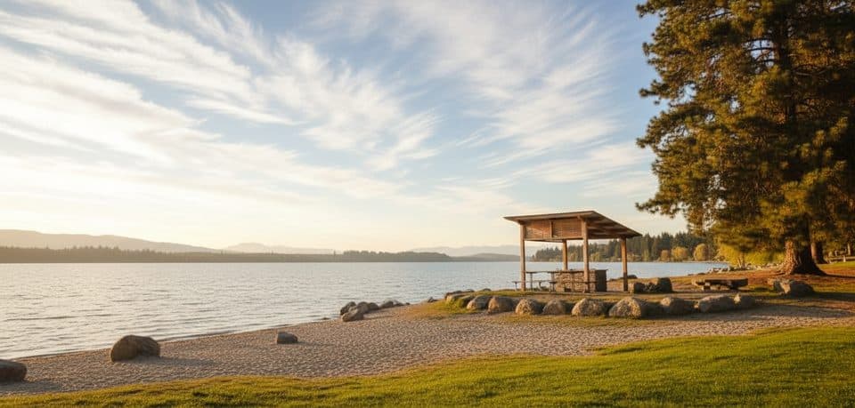 Picnic area · 3 km awayEely Point Recreation ReserveSheltered lakeside picnic spot with easy walk and swimming
 Sight · 3 km awayThat Wānaka TreeLone willow in Lake Wānaka framed by Alps and big skies
Parkwolf’s Queenstown-Lakes District ranking
The audio tour guide for the drive, plus offline maps, trails, and wildlife heatmaps for when the signal drops.



