Parking
Free parking for cars and campervans at Roys Peak car park on Wānaka–Mount Aspiring Road, about 6 km west of Wānaka. It fills quickly; do not park on the road edge.

#4 of 37 trails in Queenstown-Lakes District
Queenstown-Lakes District, New Zealand, OT
Steep switchbacks to Lake Wanaka’s most iconic ridgeline view
Overview
Roys Peak Track is a challenging 16 km (10 mi) out-and-back from Roys Peak car park to the 1,578 m summit above Wānaka. The route climbs more than 1,200 m through farmland and tussock on a steep, zig-zagging track, with panoramic Lake Wānaka and Southern Alps views.
Map & elevation
Plan your hike

The highest, rockiest slopes around here are a summer buffet for grizzly bears.
Queenstown-Lakes District Tour Guide
Parkwolf is a GPS audio tour guide for Queenstown-Lakes District, New Zealand. As you drive, it chimes in with what’s ahead: hidden gems, upcoming stops, history, geology, and wildlife, right through your car’s speakers.
See the Queenstown-Lakes District audio tourRecorded for this trailhead
Roys Peak Track: The Famous Hike and an Essential Tip“The car park ahead is for the Roys Peak Track, Wānaka’s most famous and photographed hike. Just so you know, the trail is a serious workout—a relentless, steep climb up a wide farm track with almost no shade.”
Plays as you drive up to this trailhead in the Parkwolf Queenstown-Lakes District Tour Guide.
More stories near here in the app
“Fantastic app with many points of information… It’s great to just turn on while you’re driving and it gives you an audio tour of the national Park. We love it!!!!”


Trail guide
Start at Roys Peak car park on Wānaka–Mount Aspiring Road and follow the marked track uphill to the summit; the well-known photo viewpoints are about 30 minutes before the summit. Return via the same track. The route crosses private farmland: stay on the marked track, respect livestock and property, leave gates as found, and use stiles where provided.
The DOC car park is about 6 km west of Wānaka and has free parking for cars and campervans, but fills quickly; do not park on the road edge. Toilets are at the car park and near the photo viewpoint. There is no drinking water on the track.
The track is closed for lambing from 1 October to 10 November each year and reopens on 11 November. Snow and ice may occur in winter and early spring; upper sections have challenging avalanche terrain above 1,000 m. Check the forecast and DOC advice before setting out. Dogs are not permitted.
Wildlife
 189 sightingsKeaMost seen around 5 PMSighting map
 18 sightingsKākāMost seen around 6 PMSighting map
 195 sightingsKererūMost seen around 10 AMSighting map
 48 sightingsWekaMost seen around 6 PMSighting map
 239 sightingsTūīMost seen around 8 AMSighting map
 97 sightingsBellbirdMost seen around 6 AMSighting map
Sighting maps show where each species has been reported across Queenstown-Lakes District. Wildlife moves, so no sighting is guaranteed.
Keep exploring
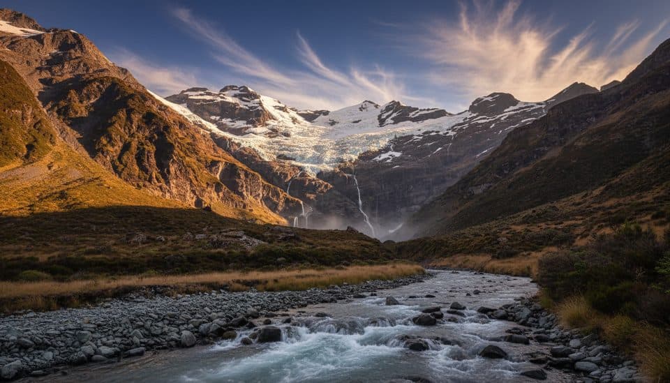
 ChallengingMotatapu Track48.9 km · 23 hr · 6.6 km awaySteep hut-to-hut alpine traverse linking Wānaka and Arrowtown via Macetown.
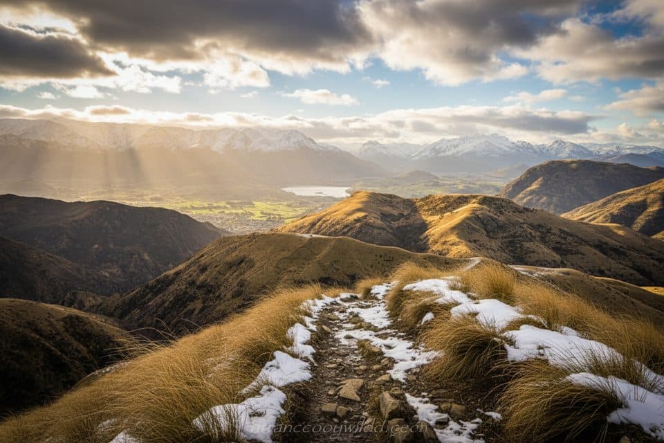
 ModerateFern Burn Track14 km · 7 hr · 6.6 km awayRooty beech forest to a tussock hut with real backcountry feel
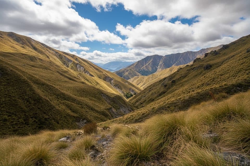
 ModerateMount Iron Track4.5 km · 1.5 hr · 7 km awayShort local loop to 360 degree views over Wanaka and the ranges
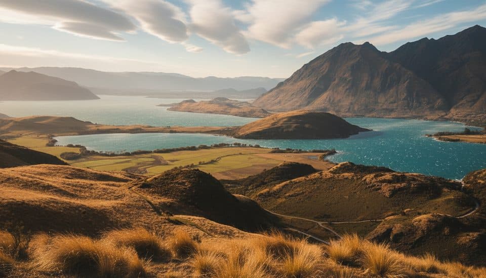 ModerateRocky Mountain Summit Track7 km · 3 hr · 9.2 km away7 km loop from Diamond Lake to Rocky Mountain’s 775 m summit
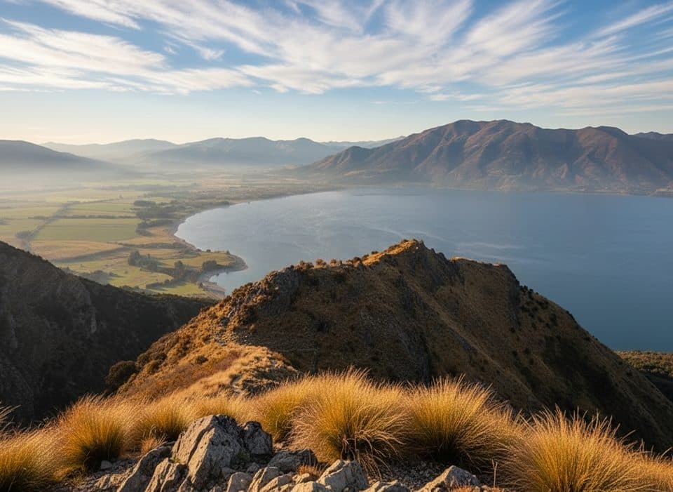 ChallengingBreast Hill Track (Pakituhi Track)8.2 km · 6 hr · 21.9 km awaySteep 5.1-mile hut out-and-back with huge Lake Hāwea views
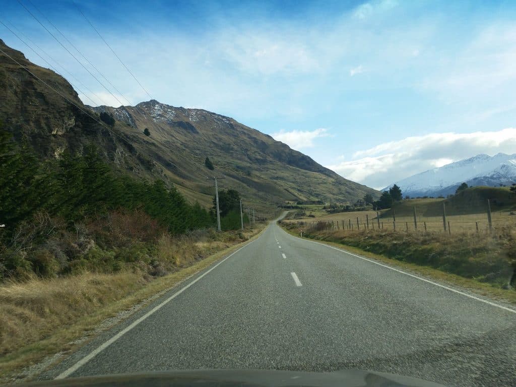 Trailhead · 2.6 km awayWaterfall Creek Recreation ReserveLakeside trailhead with big views, car park and a basic loo
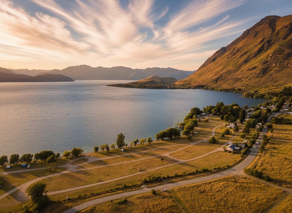 Trailhead · 3.1 km awayGlendhu Bay Recreation ReserveLakeside day spot and trailhead with big views and birdlife
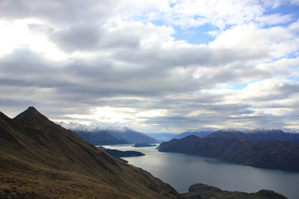 Sight · 3.4 km awayRoys PeakWanaka’s iconic ridgeline hike with blockbuster lake-and-peak views
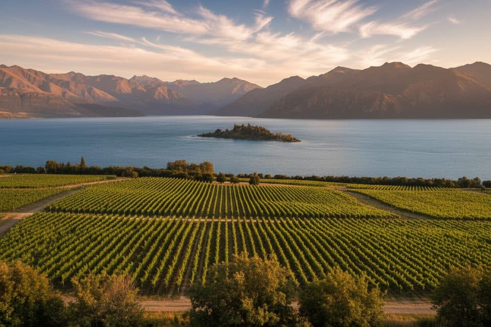 Sight · 3.6 km awayRipponBiodynamic lakeside winery with knockout Wānaka and Alps views
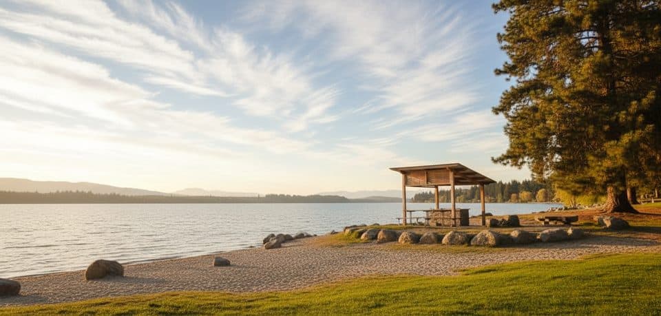 Picnic area · 4.1 km awayEely Point Recreation ReserveSheltered lakeside picnic spot with easy walk and swimming
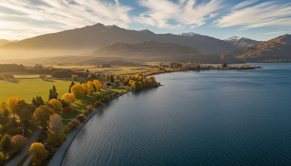 Campground · 4.2 km awayGlendhu BayClassic lakefront campground with big Wānaka views and easy lake access
 Beach · 4.2 km awayBremner Bay ReserveSheltered, shallow bay for easy swims with big alpine views
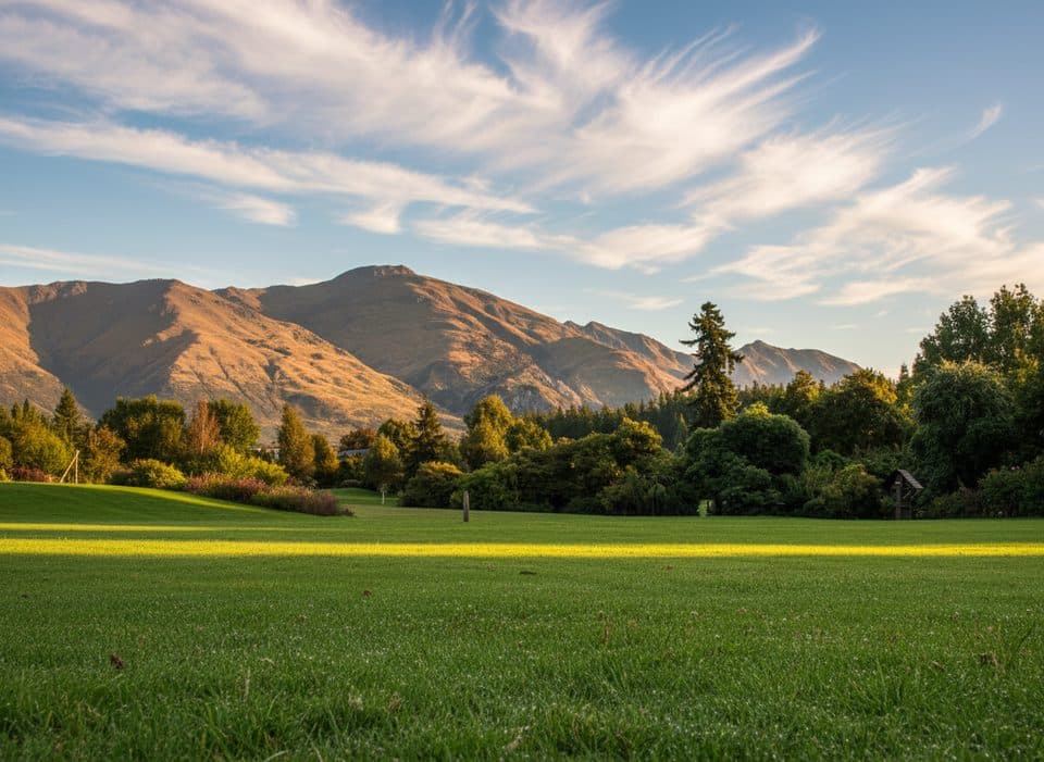 Sight · 4.5 km awayWanaka Station ParkShady heritage gardens by the lake, steps from That Wanaka Tree
Parkwolf’s Queenstown-Lakes District ranking

The audio tour guide for the drive, plus offline maps, trails, and wildlife heatmaps for when the signal drops.