Rob Roy Glacier Viewpoint in Queenstown-Lakes District, New Zealand

Sight · Queenstown-Lakes District, New Zealand

Rob Roy Glacier Viewpoint

A half-day hike for Rob Roy Glacier views and waterfalls.

Photo: ambo kangaroo, CC BY-SA 3.0, via Wikimedia Commons

Type
Sight
Nearest trail
3.8 km
  • Scenic viewpoint
  • #27 of 83 sights

Hear the audio tour

Raspberry Creek and Rob Roy Track
Download Parkwolf on the App StoreGet Parkwolf on Google Play

4.7 from 8,600+ ratings

Overview

About Rob Roy Glacier Viewpoint

Why stop

  • A hanging glacier, cliffs and waterfalls make a memorable alpine payoff.

Heads up

  • A long uphill return, with avalanche exposure above the lower lookout from May to November.

Map

Where it is

Loading the Queenstown-Lakes District map
Full map
SightRob Roy Glacier Viewpoint-44.47819, 168.72814
Keep this map with you offline in the Parkwolf app

Plan your stop

Before you go

3 active Queenstown-Lakes District alerts

  • CautionRob Roy Track: stop at lower lookout during avalanche seasonMentions Rob Roy Track, referenced in this guideFrom May to November, end your Rob Roy Track hike at the lower lookout: DOC strongly recommends this because the upper section crosses active avalanche paths.Official details
  • ClosureSkippers Bridge closed to all usersSkippers Bridge is closed to all vehicles, cyclists and pedestrians; stay off the bridge and obey closure signs and barriers.Official details
See all 3 alerts
A park ranger sits on a dash-mounted phone, talking, as Parkwolf’s Tour Guide plays “Army Cutworm Moths: A Grizzly Bear Buffet” on Grand Loop Road below Dunraven Pass in Yellowstone
Parkwolf Tour GuideThe highest, rockiest slopes around here are a summer buffet for grizzly bears.

Queenstown-Lakes District Tour Guide

Your drive to Rob Roy Glacier Viewpoint, narrated.

Parkwolf is a GPS audio tour guide for Queenstown-Lakes District, New Zealand. As you drive, it chimes in with what’s ahead: hidden gems, upcoming stops, history, geology, and wildlife, right through your car’s speakers.

See the Queenstown-Lakes District audio tour

Recorded for this place

Raspberry Creek and Rob Roy Track
0:00 / 0:31
“You're approaching Raspberry Creek car park, the start of the Rob Roy Track. Allow about four hours return for the full walk, climbing through beech forest to hanging ice and waterfalls at the upper lookout.”

Plays as you drive up to Rob Roy Glacier Viewpoint in the Parkwolf Queenstown-Lakes District Tour Guide.

More stories near here in the app

  • A Sweet Meal from a Hidden Insect
  • East Matukituki and Kitchener Tracks
  • Robins Returned by Helicopter
  • 298 audio storiesacross Queenstown-Lakes District’s roads, triggered by GPS as you drive
  • Wildlife heatmapsfor Kea, Kākā, Kererū, and 13 more
  • Works offlinemaps, 155 trails, 129 places, and audio download before you lose signal
  • CarPlay readysimple controls built for the drive
★★★★★
“Fantastic app with many points of information… It’s great to just turn on while you’re driving and it gives you an audio tour of the national Park. We love it!!!!”
JMJamesApp Store review
Download Parkwolf on the App StoreGet Parkwolf on Google Play

4.7 from 8,600+ ratings

Guide

More about Rob Roy Glacier Viewpoint

The glacier lookoutRob Roy Glacier Viewpoint is the upper lookout at the head of Rob Roy Valley, facing a hanging…

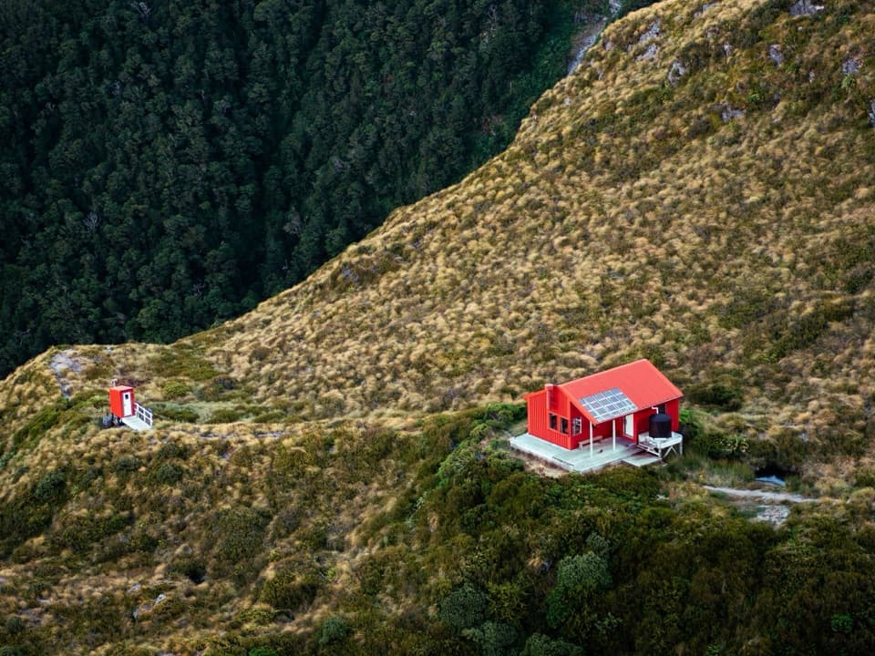
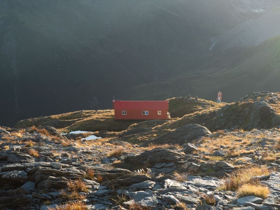
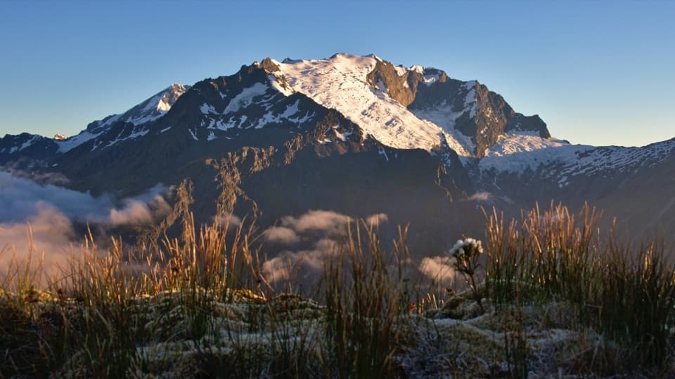
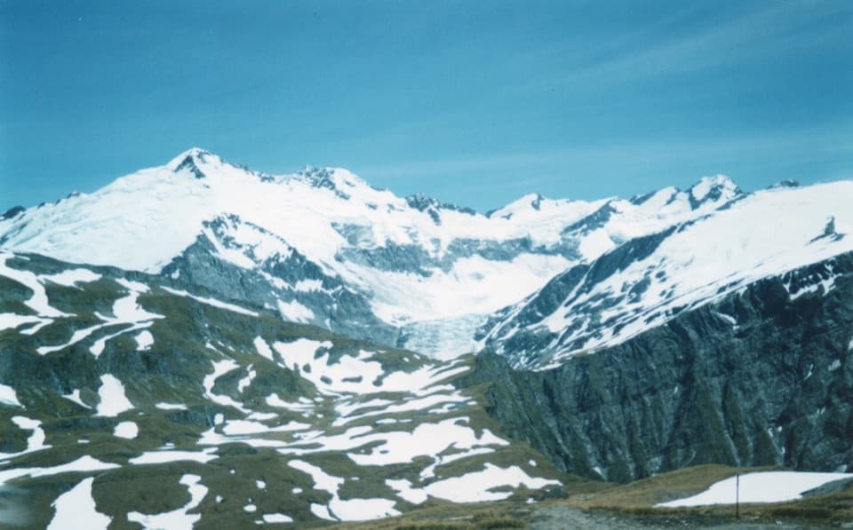
Rob Roy Glacier Viewpoint is the upper lookout at the head of Rob Roy Valley, facing a hanging glacier beneath Mount Rob Roy. Ice, dark cliffs and waterfalls fill the far wall. It is the payoff of the Rob Roy Track, not a roadside stop.

The full walkFrom Raspberry Creek car park, the return walk is about 10 km and three to four hours, mostly…

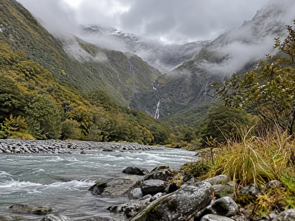
From Raspberry Creek car park, the return walk is about 10 km and three to four hours, mostly uphill. It follows Rob Roy Stream through beech forest, crosses a swing bridge and climbs into alpine country. If you have a half day and the seasonal advice allows, this is one of the area's most memorable glacier walks.

The trailhead is about 54 km west of Wānaka. The last 30 km is gravel, and the final 10 km includes several fords that can rise after heavy rain. Check DOC's road advice before driving in.

Where to turn aroundFrom May through November, DOC strongly recommends turning back at the lower lookout: the upper…

From May through November, DOC strongly recommends turning back at the lower lookout: the upper section crosses avalanche paths, and slides can happen even when there is no snow on the track. This viewpoint is beyond that seasonal turnaround. DOC also advises against going past the upper lookout, where the ground drops into steep canyons with unstable terrain and fast water.

A valley shaped by iceAround 20,000 years ago, a much larger glacier filled Rob Roy Valley and joined the ice flowing…

Around 20,000 years ago, a much larger glacier filled Rob Roy Valley and joined the ice flowing through Matukituki Valley. Today's glacier is a hanging remnant at the head of that old ice-filled valley, breaking over the steep cliff walls.

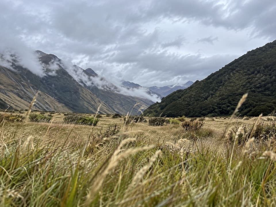
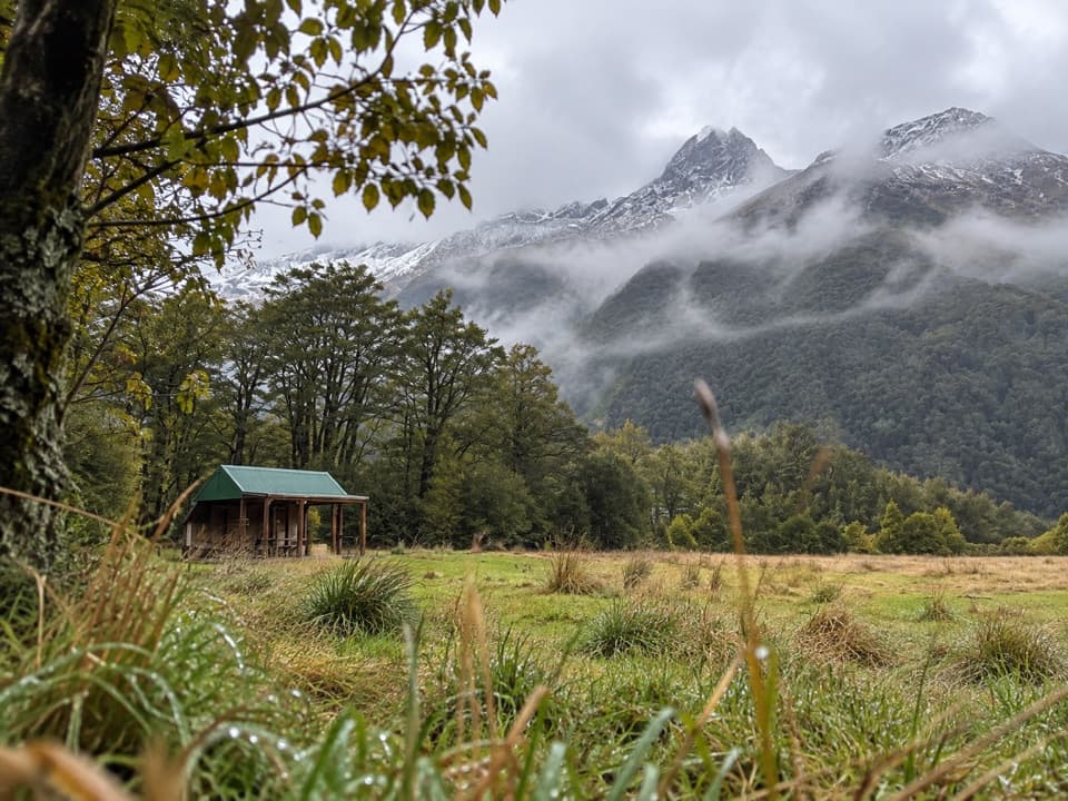
Look and listen along the wayThe climb passes river, waterfalls, beech forest, ferns and moss before opening into alpine…

The climb passes river, waterfalls, beech forest, ferns and moss before opening into alpine vegetation. Kea are often seen or heard above the tree line. The track crosses private farmland, so stay on the marked route and leave gates as you find them.

Frame the glacierAt the upper lookout, include one of the long waterfalls beside the hanging ice in a wide photo.

At the upper lookout, include one of the long waterfalls beside the hanging ice in a wide photo. The dark cliff and falling water help show how high the glacier sits above the valley.

Wildlife

Wildlife in Queenstown-Lakes District

All Queenstown-Lakes District wildlife maps

Sighting maps show where each species has been reported across Queenstown-Lakes District. Wildlife moves, so no sighting is guaranteed.

Parkwolf’s Queenstown-Lakes District ranking

Top sights in Queenstown-Lakes District

All 129 places
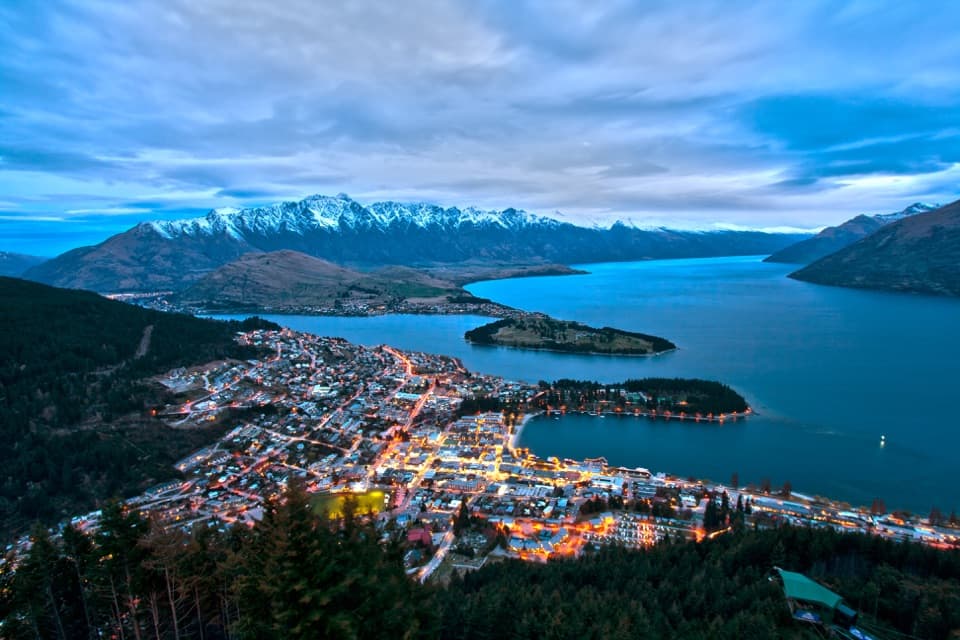
  1. 1Skyline QueenstownSight
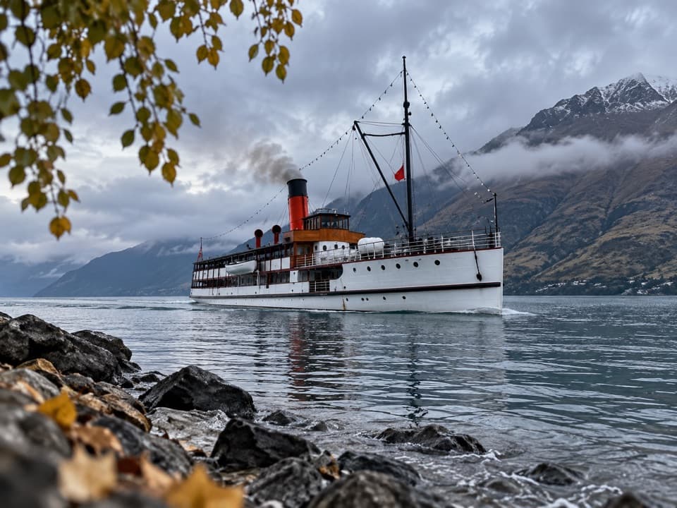
  2. 2TSS EarnslawSight
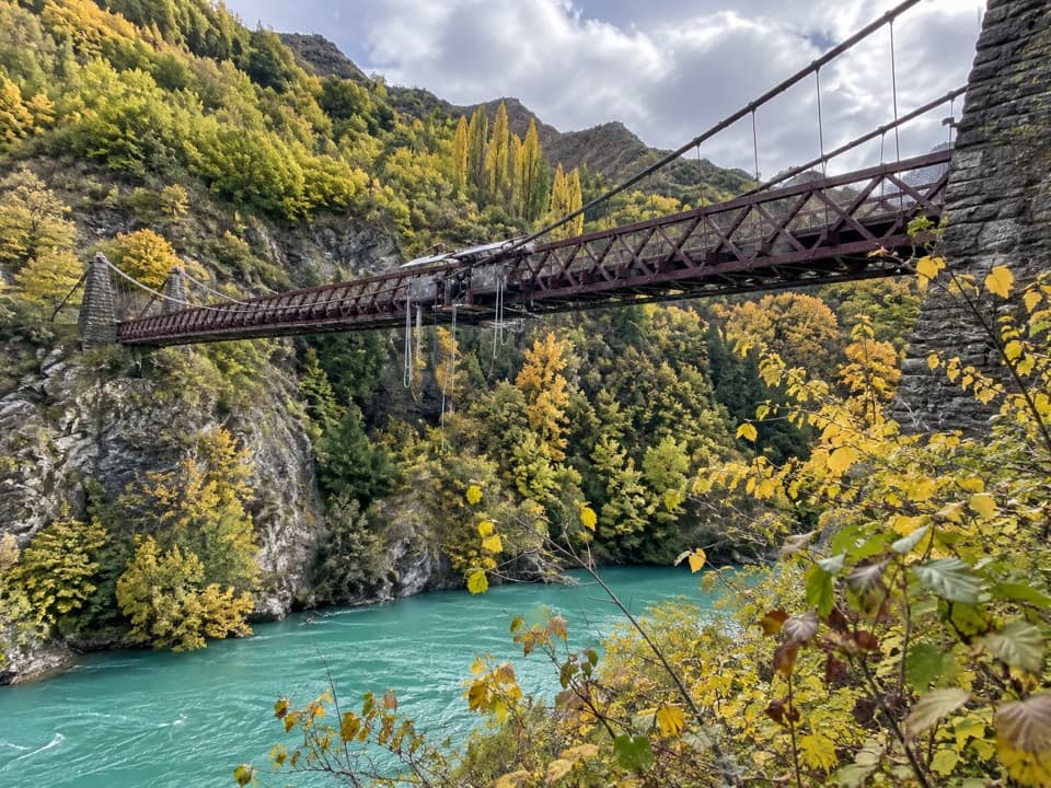
  3. 3Kawarau Bridge and Bungy CentreSight
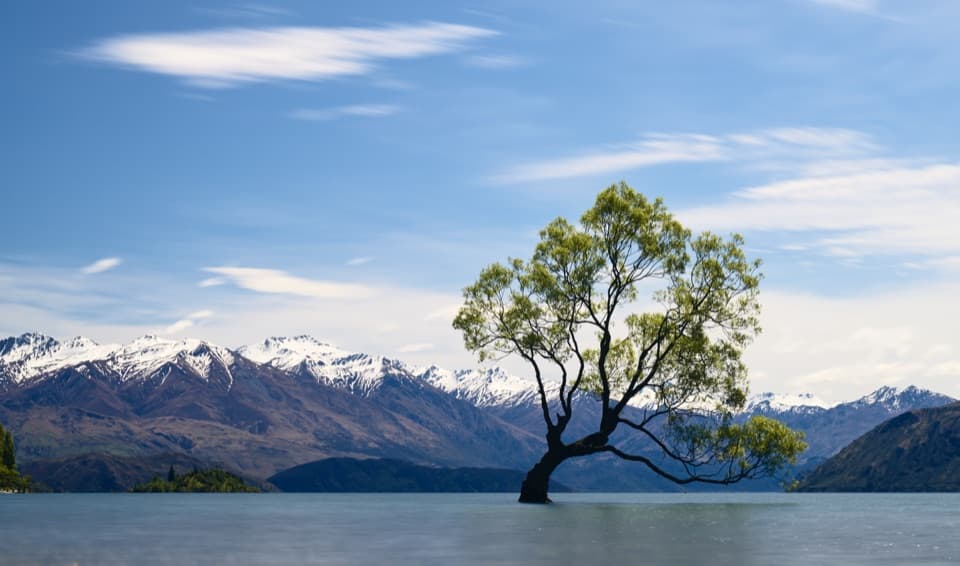
  4. 4That Wānaka TreeSight
  5. 5Queenstown GardensSight
  6. 6Shotover JetSight

Take Parkwolf to Queenstown-Lakes District.

The audio tour guide for the drive, plus offline maps, trails, and wildlife heatmaps for when the signal drops.

4.7 from 8,600+ ratings

Download Parkwolf on the App StoreGet Parkwolf on Google Play