Parking
Park at Raspberry Creek car park (about 54 km west of Wānaka). The last ~30 km are gravel, with several fords in the final 10 km that can rise after heavy rain; the road is occasionally affected by washouts.
#10 of 37 trails in Queenstown-Lakes District
Queenstown-Lakes District, New Zealand, OT
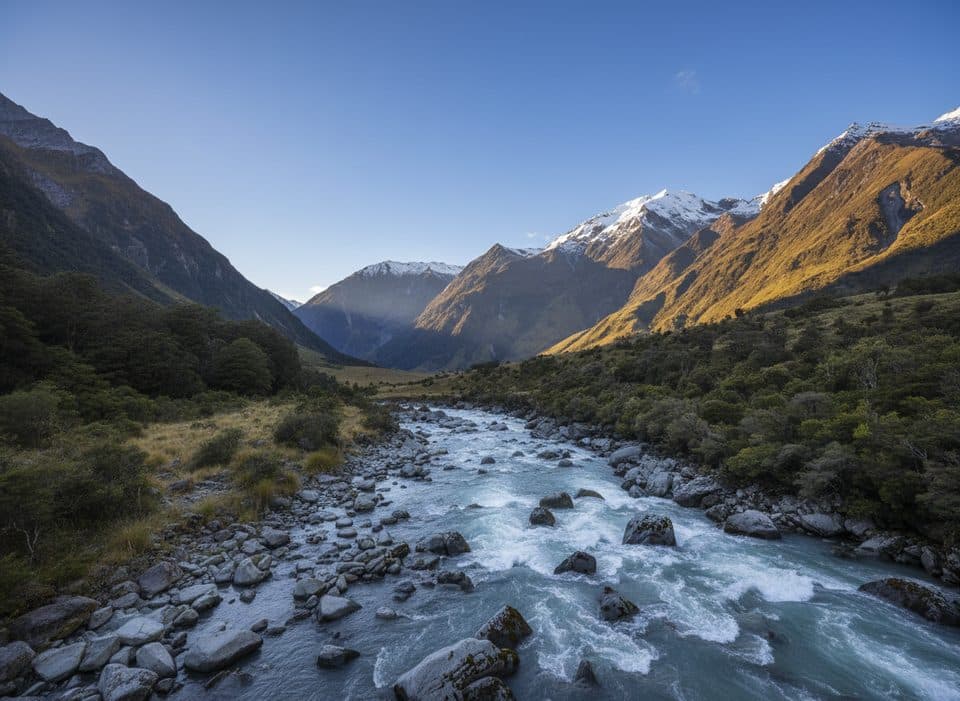
Big valley walk to a hut with knockout views of Mt Aspiring.
Overview
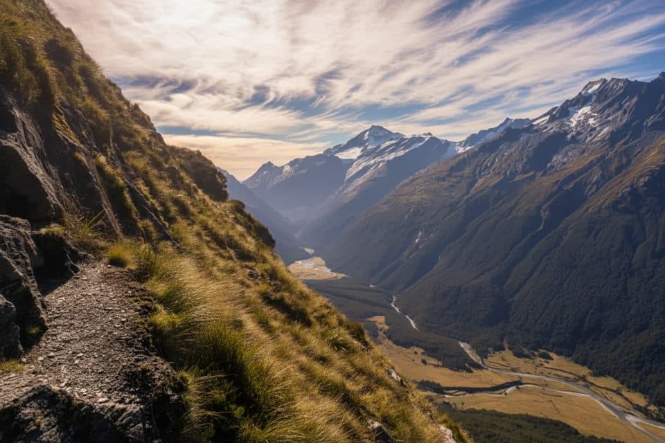
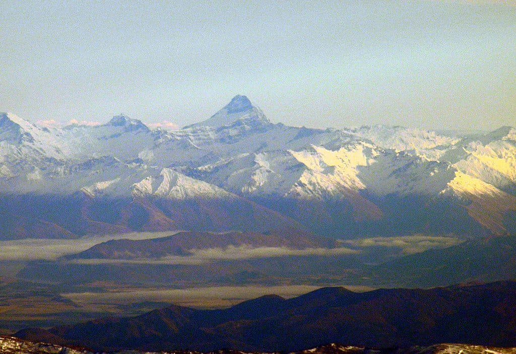
Liverpool Track is a demanding advanced tramp from Raspberry Creek car park to Liverpool Hut in the West Matukituki Valley. The standard route is 15 km one way (30 km return, about 18.6 miles total) and is normally an overnight trip. Liverpool Hut sits at about 1,100 m with expansive views of Tititea/Mt Aspiring and the Matukituki Valley.
Map & elevation
Plan your hike

The highest, rockiest slopes around here are a summer buffet for grizzly bears.
Queenstown-Lakes District Tour Guide
Parkwolf is a GPS audio tour guide for Queenstown-Lakes District, New Zealand. As you drive, it chimes in with what’s ahead: hidden gems, upcoming stops, history, geology, and wildlife, right through your car’s speakers.
See the Queenstown-Lakes District audio tourRecorded for this trailhead
Raspberry Flat: Gateway to Glaciers and Kea“You're nearing the end of the road at Raspberry Flat Carpark, a major access point into Mount Aspiring National Park.”
Plays as you drive up to this trailhead in the Parkwolf Queenstown-Lakes District Tour Guide.
More stories near here in the app
“Fantastic app with many points of information… It’s great to just turn on while you’re driving and it gives you an audio tour of the national Park. We love it!!!!”


Trail guide
From Raspberry Creek car park, follow the West Matukituki Track through farmland and river flats to Aspiring Hut (9 km, about 2–2.5 hours), then continue through bush to Pearl Flat (a further 5 km, about 1.5 hours). At Pearl Flat, turn onto Liverpool Track, cross the swing bridge over Liverpool Stream, and climb 1 km through bush, rock slabs, shingle and tussock to Liverpool Hut (about 2–2.5 hours). DOC lists 6 hours 30 minutes one way for the complete route; the return is via the same track. There is no track beyond Liverpool Hut.
DOC classifies Liverpool Track as an advanced tramping track. The upper climb is steep, technical and often slippery, with sections where hands are needed on rock and tree roots. Stay on the poled route near the hut: when the hut comes into view, continue to the knoll before descending rather than sidling across steep terrain. Boots with good grip and poles are useful.
Raspberry Creek car park is 54 km west of Wānaka on the Wānaka–Mount Aspiring Road. The last 30 km are gravel and several fords in the final 10 km can rise after rain, sometimes becoming impassable; the road can also suffer washouts. Liverpool Hut is a serviced alpine hut with 10 bunks. Bookings are required during the summer season; outside that period it is first come, first served. Carry food, water and suitable overnight gear.
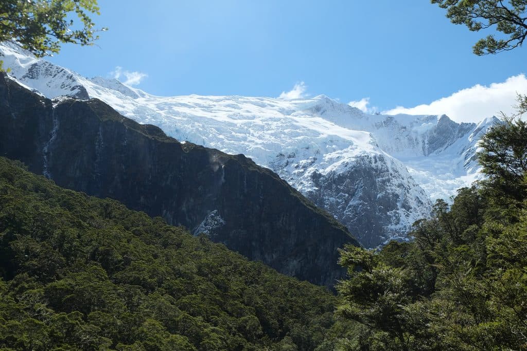
The approach follows the Matukituki Valley with river, farmland, native forest, waterfalls and large mountain walls. The hut gives broad views toward Tititea/Mt Aspiring and the valley.
Summer to early autumn generally offers the most settled conditions, but this is an alpine route and conditions can change year-round. Start early so the steep upper section is completed in good light. Allow an extra day and carry an emergency beacon for this remote overnight route.
Wildlife
 189 sightingsKeaMost seen around 5 PMSighting map
 18 sightingsKākāMost seen around 6 PMSighting map
 195 sightingsKererūMost seen around 10 AMSighting map
 48 sightingsWekaMost seen around 6 PMSighting map
 239 sightingsTūīMost seen around 8 AMSighting map
 97 sightingsBellbirdMost seen around 6 AMSighting map
Sighting maps show where each species has been reported across Queenstown-Lakes District. Wildlife moves, so no sighting is guaranteed.
Keep exploring
 ModerateRob Roy Glacier Track10.3 km · 3.5 hr · At the trailheadA half-day forest-to-alpine walk to Rob Roy Glacier’s dramatic upper lookout.
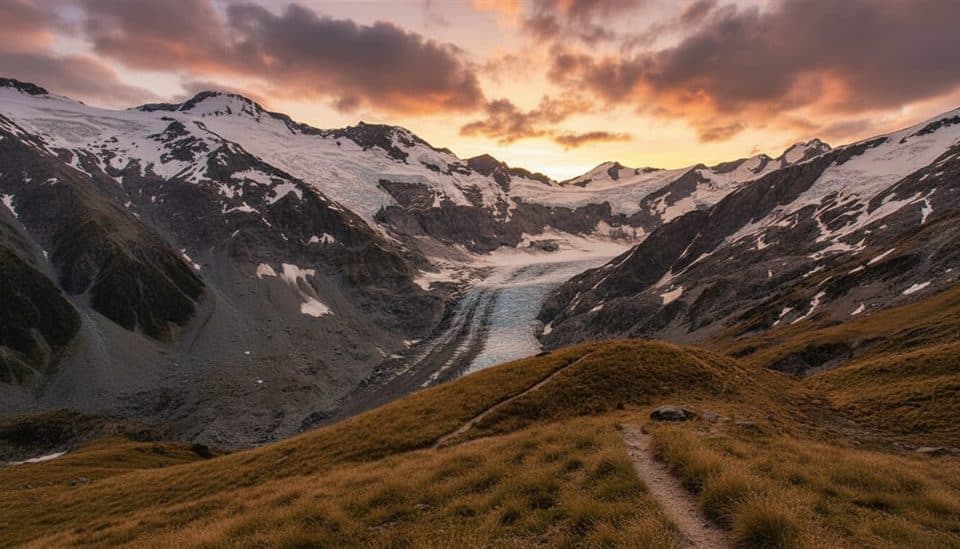 ChallengingCascade Saddle Route15 km · 7 hr · At the trailheadSerious alpine crossing through the Pylon to the Cascade Saddle route
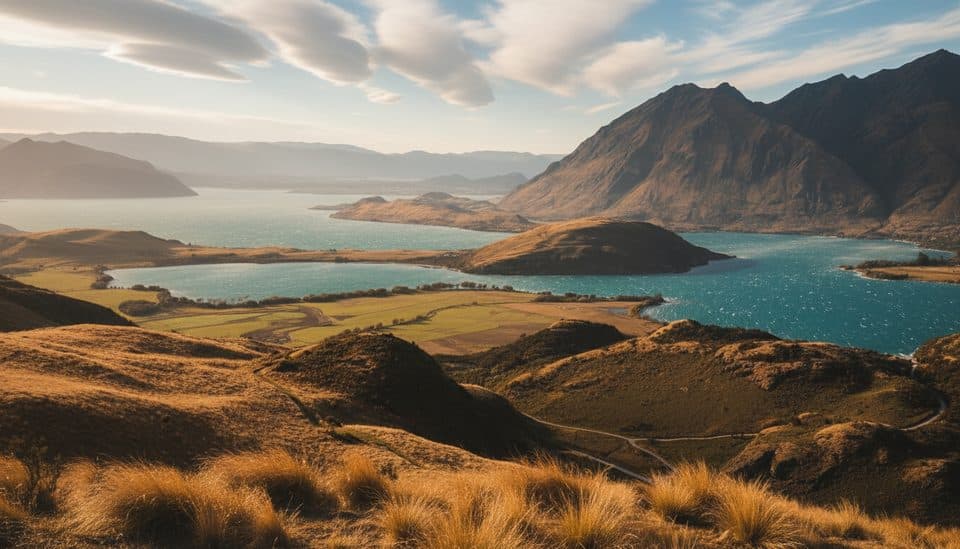 ModerateRocky Mountain Summit Track7 km · 3 hr · 23.2 km away7 km loop from Diamond Lake to Rocky Mountain’s 775 m summit
Parkwolf’s Queenstown-Lakes District ranking

The audio tour guide for the drive, plus offline maps, trails, and wildlife heatmaps for when the signal drops.