Parking
Raspberry Creek car park, 54 km from Wānaka; the final 30 km is unsealed. Check road and ford conditions before setting out.
#9 of 37 trails in Queenstown-Lakes District
Queenstown-Lakes District, New Zealand, OT
Serious alpine crossing through the Pylon to the Cascade Saddle route
Overview
This is a serious one-way alpine crossing from Raspberry Creek car park through the West Matukituki Valley to the route above Cascade Saddle in Mount Aspiring National Park. DOC recommends starting from the Matukituki side: descending the Matukituki face from the Dart side is substantially more difficult. The full crossing continues beyond this represented endpoint toward the Dart Valley; this record is the Raspberry Creek-to-Cascade Saddle route experience.
Map & elevation
Plan your hike

The highest, rockiest slopes around here are a summer buffet for grizzly bears.
Queenstown-Lakes District Tour Guide
Parkwolf is a GPS audio tour guide for Queenstown-Lakes District, New Zealand. As you drive, it chimes in with what’s ahead: hidden gems, upcoming stops, history, geology, and wildlife, right through your car’s speakers.
See the Queenstown-Lakes District audio tourRecorded for this trailhead
Raspberry Flat: Gateway to Glaciers and Kea“You're nearing the end of the road at Raspberry Flat Carpark, a major access point into Mount Aspiring National Park.”
Plays as you drive up to this trailhead in the Parkwolf Queenstown-Lakes District Tour Guide.
More stories near here in the app
“Fantastic app with many points of information… It’s great to just turn on while you’re driving and it gives you an audio tour of the national Park. We love it!!!!”


Trail guide
DOC breaks the route into 9 km from Raspberry Creek car park to Aspiring Hut (about 2–2.5 hours) and 6 km from Aspiring Hut to Cascade Saddle (about 4–5 hours): roughly 15 km (9.3 miles) one way and 6–7.5 hours for experienced parties. The detailed mapped corridor stored here measures about 15.5 km (9.65 miles) because it follows the surveyed track vertices; it is not an out-and-back duplicate.
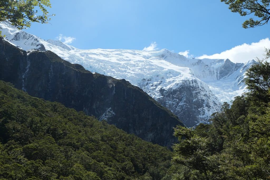
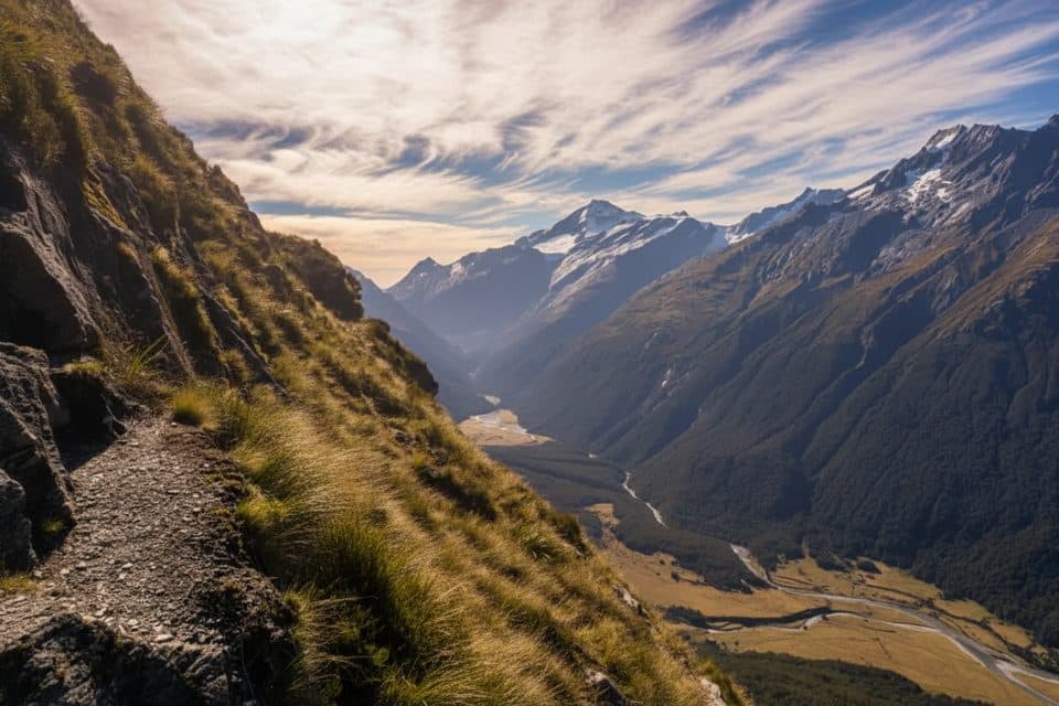
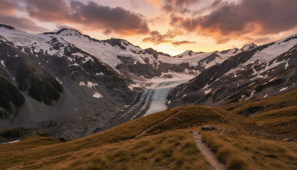
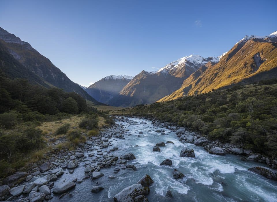
Follow the West Matukituki Track to Aspiring Hut, then climb through beech forest toward the bushline. Above the bushline the track becomes a demanding, orange-poled alpine route over steep snow grass, tussock, rock outcrops and exposed ledges. The route reaches the Pylon at about 1,835 m through a steep, narrow gully, then descends on poles toward Cascade Creek and follows easier slopes toward the route above the named Cascade Saddle (1,524 m). DOC notes that this crossing does not pass directly over the saddle itself.
Attempt this route only in stable fine-weather summer conditions with strong navigation and backcountry skills. Multiple unbridged streams can flood after rain or snowmelt; steep slopes become treacherous when wet or icy, and sudden cold storms can affect the area even in summer. Snow may persist in the Pylon gully, and exposure creates serious fall consequences. Carry a distress beacon, map/GPS, emergency shelter, spare food and a head torch, and turn around early if weather, water levels or time deteriorate.
Raspberry Creek car park is 54 km from Wānaka; the last 30 km is unsealed and road conditions should be checked before departure. Camping along the route is limited to the designated site near Cascade Creek, which has a toilet; kea may damage tents and steal gear. Aspiring Hut is on the approach, but hut facilities and fees are separate from the trail record.
Wildlife
 189 sightingsKeaMost seen around 5 PMSighting map
 18 sightingsKākāMost seen around 6 PMSighting map
 195 sightingsKererūMost seen around 10 AMSighting map
 48 sightingsWekaMost seen around 6 PMSighting map
 239 sightingsTūīMost seen around 8 AMSighting map
 97 sightingsBellbirdMost seen around 6 AMSighting map
Sighting maps show where each species has been reported across Queenstown-Lakes District. Wildlife moves, so no sighting is guaranteed.
Keep exploring
 ModerateRob Roy Glacier Track10.3 km · 3.5 hr · At the trailheadA half-day forest-to-alpine walk to Rob Roy Glacier’s dramatic upper lookout.
 ChallengingLiverpool Track29.9 km · 13 hr · At the trailheadBig valley walk to a hut with knockout views of Mt Aspiring.
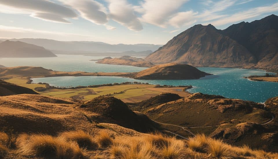 ModerateRocky Mountain Summit Track7 km · 3 hr · 23.2 km away7 km loop from Diamond Lake to Rocky Mountain’s 775 m summit
Parkwolf’s Queenstown-Lakes District ranking

The audio tour guide for the drive, plus offline maps, trails, and wildlife heatmaps for when the signal drops.