Parking
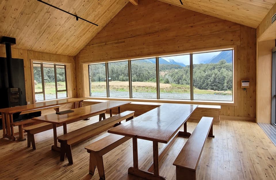
Park beside the Otago Boys High Bridge at MacPherson Creek, about 2.5 km beyond the Cameron Flat access. The final 25 km of the drive from Wānaka is gravel.
Queenstown-Lakes District, New Zealand, OT
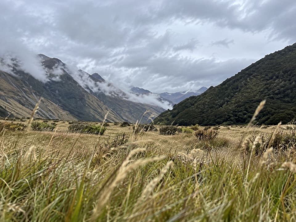
A full day through river flats, beech forest and rough slips.
Overview
Map & elevation
Plan your hike

The highest, rockiest slopes around here are a summer buffet for grizzly bears.
Queenstown-Lakes District Tour Guide
Parkwolf is a GPS audio tour guide for Queenstown-Lakes District, New Zealand. As you drive, it chimes in with what’s ahead: hidden gems, upcoming stops, history, geology, and wildlife, right through your car’s speakers.
See the Queenstown-Lakes District audio tourRecorded for this trailhead
East Matukituki and Kitchener Tracks“You’re coming up on Otago Boys High Bridge, the start for the East Matukituki and Kitchener tracks.”
Plays as you drive up to this trailhead in the Parkwolf Queenstown-Lakes District Tour Guide.
More stories near here in the app
“Fantastic app with many points of information… It’s great to just turn on while you’re driving and it gives you an audio tour of the national Park. We love it!!!!”


Trail guide
The East Matukituki Track follows open river flats and beech forest from Otago Boys High Bridge to Junction Flat. The mapped walk is about 25 km return and a 10-hour day. The published section figures work out closer to 23 km, so plan for the longer mapped distance. This is a remote valley walk with a rough backcountry finish, not a quick stroll from the road.
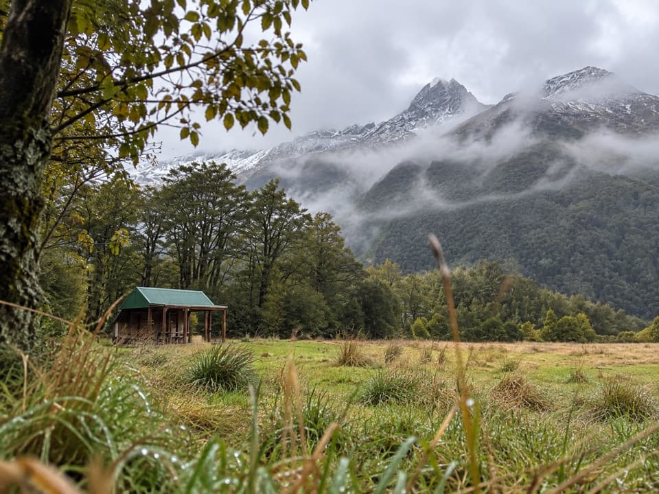
The route crosses grassy flats to Glacier Burn, then crosses the burn and follows the true right bank through beech forest. A second three-wire bridge takes you to Junction Flat. Expect mud, roots, rocks and major slips; sections call for careful footing and short scrambles. The valley opens around the flats, while the forested section narrows the views.
Junction Flat is the turnaround for this route. A separate, unformed continuation toward Ruth Flat is about 6 km one way and takes 4–6 hours; it is for experienced trampers only. Keep that route, and the separate Kitchener Track toward Aspiring Flats, off this itinerary.
The Otago Boys High Bridge gives access without fording the Matukituki River at Cameron Flat. If you choose Cameron Flat instead, the ford is unsafe when the river is high; DOC directs visitors to the bridge access farther along the road. The last 25 km from Wānaka is gravel. The grassy flats are leasehold farmland, so stay on the route and leave stock undisturbed. Dogs and other domestic animals are not allowed in the national park.
Wildlife
 194 sightingsKeaMost seen around 5 PMSighting map
 18 sightingsKākāMost seen around 6 PMSighting map
 198 sightingsKererūMost seen around 10 AMSighting map
 53 sightingsWekaMost seen around 6 PMSighting map
 245 sightingsTūīMost seen around 8 AMSighting map
 98 sightingsBellbirdMost seen around 6 AMSighting map
Sighting maps show where each species has been reported across Queenstown-Lakes District. Wildlife moves, so no sighting is guaranteed.
Keep exploring
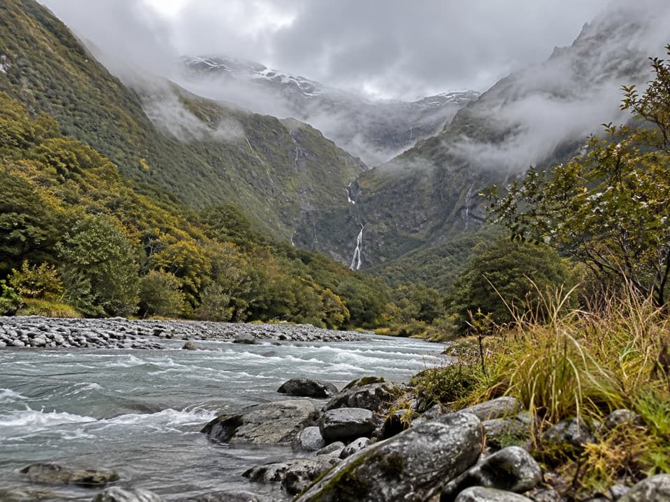 ChallengingKitchener Track to Aspiring Flats28.1 km · 10.5 hr · At the trailheadA river gorge and cirque reward the long tramp.
 ModerateRob Roy Track10 km · 4 hr · 3.7 km awayA river bridge, beech forest, and a hanging glacier.
 ChallengingWest Matukituki Track34.4 km · 11.5 hr · 3.7 km awayMake the hut your turnaround or carry on into the alpine valley.
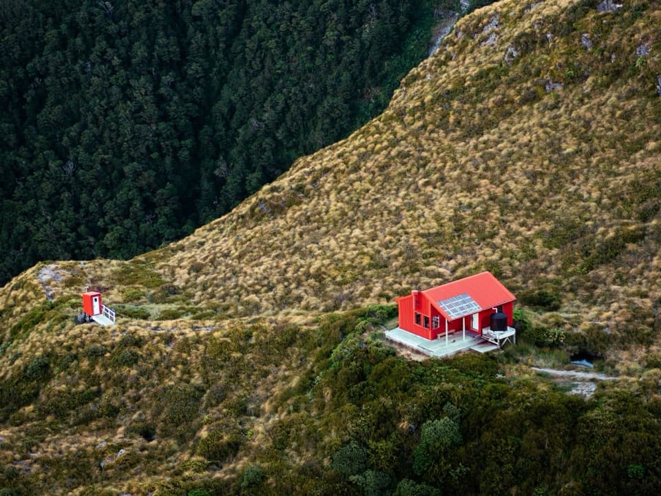 ChallengingLiverpool Track30 km · 11.5 hr · 3.7 km awayA long valley approach ends in an exposed climb to Liverpool Hut.
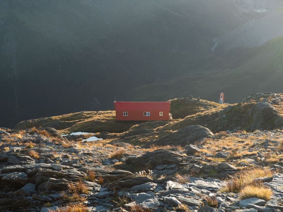 ChallengingFrench Ridge Track32.4 km · 13.5 hr · 3.7 km awayA valley approach ends with more than 900 metres of climbing.
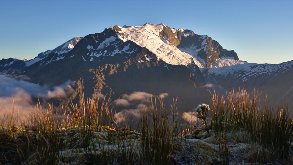 ChallengingShotover Saddle Route15.5 km · 8 hr · 3.7 km awayA full alpine day to a tarn shelf below the saddle.
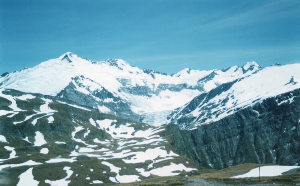 ChallengingCascade Saddle Route16 km · 10 hr · 10.2 km awayA high, exposed alpine traverse from Aspiring Hut into the Dart Valley.
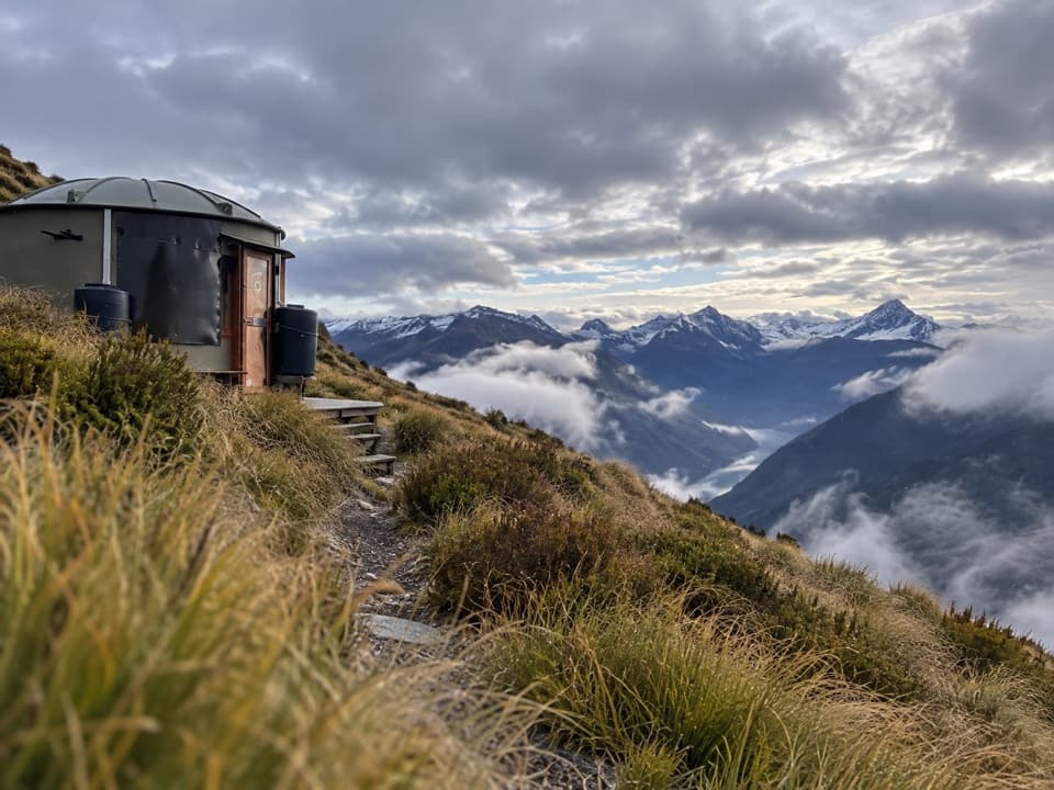 ChallengingMahu Whenua Traverse40.6 km · 5 days · 17 km awayFive Turk huts stitch together this unmarked alpine crossing.
Parkwolf’s Queenstown-Lakes District ranking

The audio tour guide for the drive, plus offline maps, trails, and wildlife heatmaps for when the signal drops.