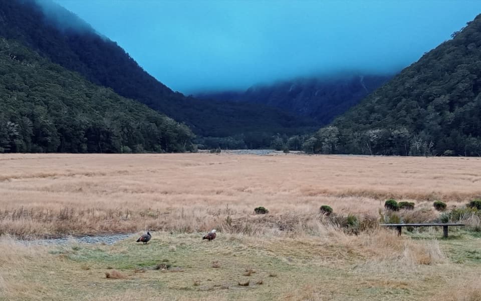
Routeburn Flats Campsite in Queenstown-Lakes District, New Zealand

Campground · Queenstown-Lakes District, New Zealand

Routeburn Flats Campsite

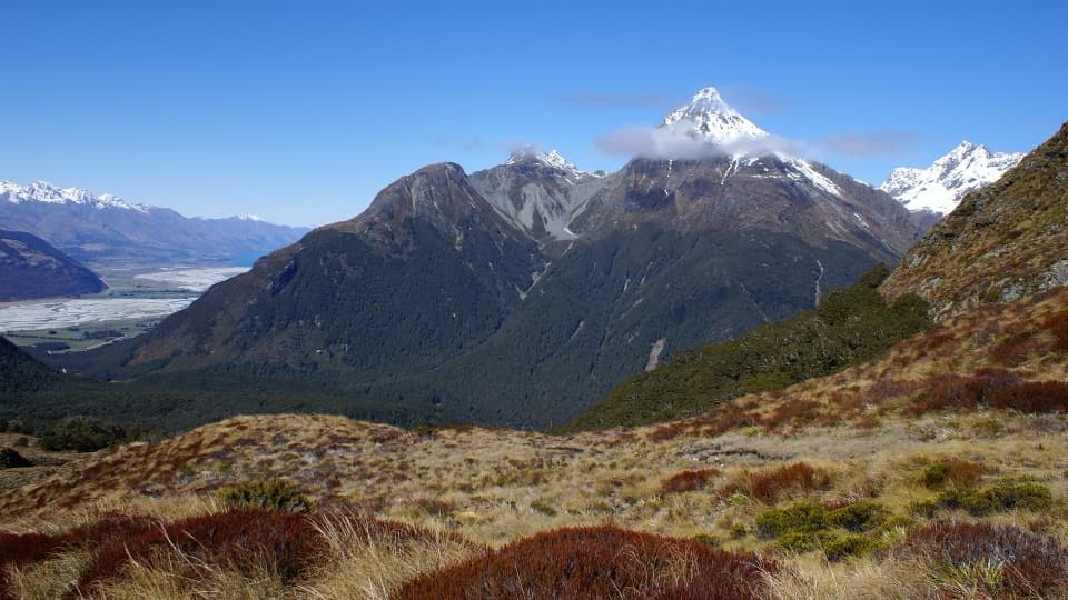
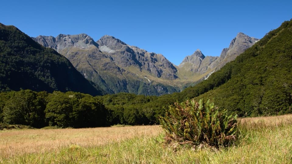
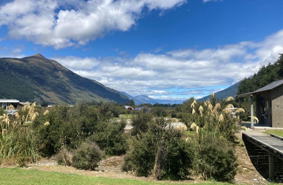
A walk-in campsite on the Routeburn Track’s open grassy flats.

Photo: John Barkla, CC BY 4.0, via iNaturalist

Type
Campground
Nearest trail
5.2 km
  • Restrooms
  • Picnic tables

Hear the audio tour

Routeburn Shelter and Nature Walk
Download Parkwolf on the App StoreGet Parkwolf on Google Play

4.7 from 8,600+ ratings

Overview

About Routeburn Flats Campsite

Why stop

  • Open valley camping beside the Route Burn.

Heads up

  • A 1.5–2-hour walk from Routeburn Shelter.

Map

Where it is

Loading the Queenstown-Lakes District map
Full map
CampgroundRouteburn Flats Campsite-44.72486, 168.21331
Keep this map with you offline in the Parkwolf app

Plan your stop

Before you go

3 active Queenstown-Lakes District alerts

  • CautionRob Roy Track: stop at lower lookout during avalanche seasonFrom May to November, end your Rob Roy Track hike at the lower lookout: DOC strongly recommends this because the upper section crosses active avalanche paths.Official details
  • ClosureSkippers Bridge closed to all usersSkippers Bridge is closed to all vehicles, cyclists and pedestrians; stay off the bridge and obey closure signs and barriers.Official details

See all 3 alerts
A park ranger sits on a dash-mounted phone, talking, as Parkwolf’s Tour Guide plays “Army Cutworm Moths: A Grizzly Bear Buffet” on Grand Loop Road below Dunraven Pass in Yellowstone
Parkwolf Tour GuideThe highest, rockiest slopes around here are a summer buffet for grizzly bears.

Queenstown-Lakes District Tour Guide

Your drive to Routeburn Flats Campsite, narrated.

Parkwolf is a GPS audio tour guide for Queenstown-Lakes District, New Zealand. As you drive, it chimes in with what’s ahead: hidden gems, upcoming stops, history, geology, and wildlife, right through your car’s speakers.

See the Queenstown-Lakes District audio tour

Recorded for this place

Routeburn Shelter and Nature Walk
0:00 / 0:24
“You're coming up on Routeburn Shelter, the start of the Routeburn Track.”

Plays as you drive up to Routeburn Flats Campsite in the Parkwolf Queenstown-Lakes District Tour Guide.

More stories near here in the app

  • Sylvan Campsite and Lake Sylvan Walk
  • Older Ways Through the Routeburn
  • Scott Creek Track
  • 298 audio storiesacross Queenstown-Lakes District’s roads, triggered by GPS as you drive
  • Wildlife heatmapsfor Kea, Kākā, Kererū, and 13 more
  • Works offlinemaps, 155 trails, 129 places, and audio download before you lose signal
  • CarPlay readysimple controls built for the drive
★★★★★
“Fantastic app with many points of information… It’s great to just turn on while you’re driving and it gives you an audio tour of the national Park. We love it!!!!”
JMJamesApp Store review
Download Parkwolf on the App StoreGet Parkwolf on Google Play

4.7 from 8,600+ ratings

Guide

More about Routeburn Flats Campsite

A camp on the flatsRouteburn Flats Campsite is one of the two DOC campsites on the Routeburn Track, set on open…

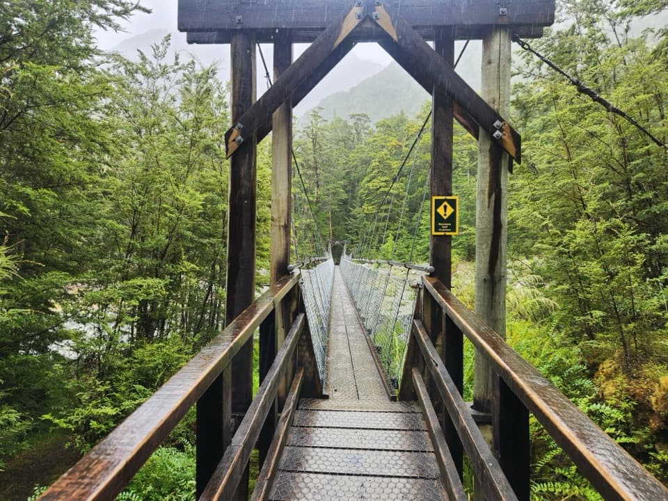
Routeburn Flats Campsite is one of the two DOC campsites on the Routeburn Track, set on open grassed flats in the Route Burn valley. A swing bridge opens the track onto the campsite, with the river and mountains around you. It suits walkers who want to spend a night on the track; it is not a roadside campground or a quick detour.

The walk inAllow about 1.5–2 hours on foot from Routeburn Shelter.

Allow about 1.5–2 hours on foot from Routeburn Shelter. The track follows the Route Burn, passes Sugarloaf Stream and Bridal Veil Waterfall, then crosses a swing bridge to the flats. Routeburn Shelter is reached by a 25 km, partly unsealed road from Glenorchy, so allow for the road end as well as the walk.

Bring your own camp setupThere are 15 tent sites, toilets, sinks, a water supply, picnic tables and cooking shelters.

There are 15 tent sites, toilets, sinks, a water supply, picnic tables and cooking shelters. The water is untreated. Bring your own tent, sleeping bag and cooking gear; campers cannot use the nearby hut’s facilities. Book during the Great Walks season, and pitch clear of trees as DOC advises.

Wildlife

Wildlife in Queenstown-Lakes District

All Queenstown-Lakes District wildlife maps

Sighting maps show where each species has been reported across Queenstown-Lakes District. Wildlife moves, so no sighting is guaranteed.

Parkwolf’s Queenstown-Lakes District ranking

Top sights in Queenstown-Lakes District

All 129 places
  1. 1Skyline QueenstownSight
  2. 2TSS EarnslawSight
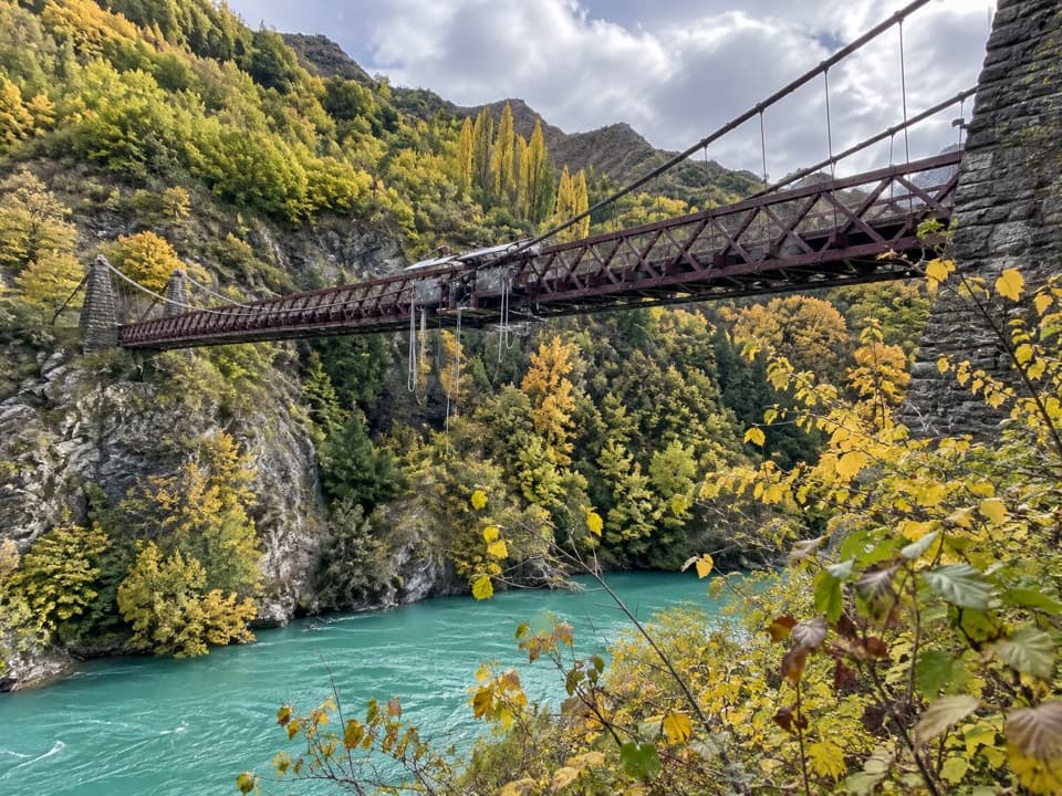
  3. 3Kawarau Bridge and Bungy CentreSight
  4. 4That Wānaka TreeSight
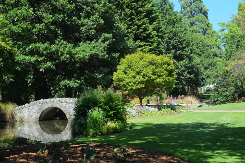
  5. 5Queenstown GardensSight
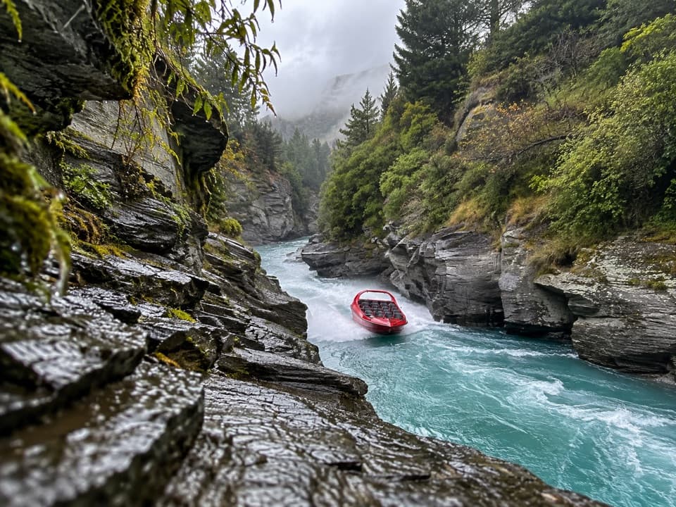
  6. 6Shotover JetSight

Take Parkwolf to Queenstown-Lakes District.

The audio tour guide for the drive, plus offline maps, trails, and wildlife heatmaps for when the signal drops.

4.7 from 8,600+ ratings

Download Parkwolf on the App StoreGet Parkwolf on Google Play