Parking
Park at the Routeburn Shelter carpark at the end of Glenorchy–Routeburn Road. The road is narrow through the forest and the last section is gravel; large campervans may not be suitable.
Queenstown-Lakes District, New Zealand, OT
Easy 3.2 km loop through beech forest from Routeburn Shelter
Overview
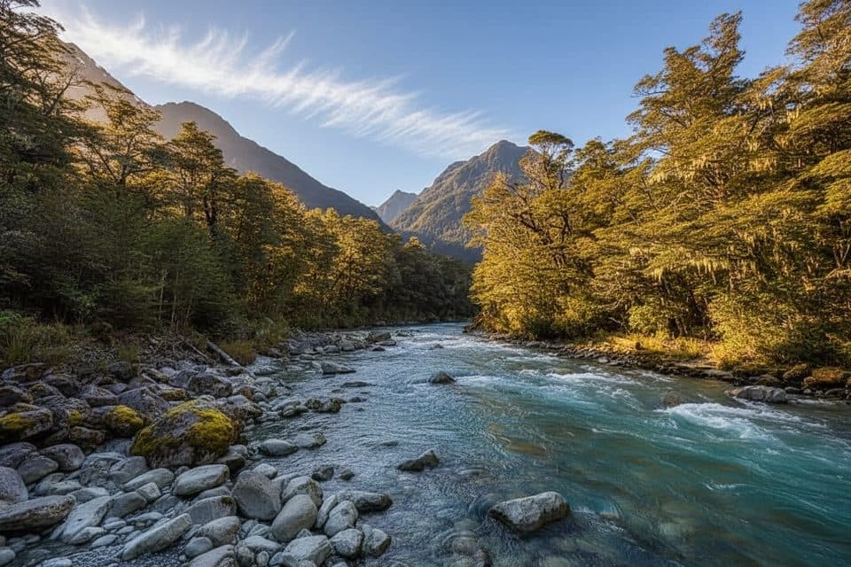
Routeburn Nature Walk is an easy 3.2 km loop from the Routeburn Shelter carpark in Mount Aspiring National Park. Allow 40 minutes to 1 hour. The complete walked route crosses the Route Burn swingbridge, follows the main Routeburn Track for about 10–15 minutes to a signed turnoff, then descends through red beech/tawhero forest and interpretation panels on the valley floor. It rejoins the main track at Sugarloaf Stream and returns to the shelter along the Routeburn Track. The mapped line is about 3.05 km and follows the full loop with the shared approach and return; it is not the longer Routeburn Great Walk. The track is flat to gently rolling and family-friendly, but can be damp or slippery after rain.
Map & elevation
Plan your hike

The highest, rockiest slopes around here are a summer buffet for grizzly bears.
Queenstown-Lakes District Tour Guide
Parkwolf is a GPS audio tour guide for Queenstown-Lakes District, New Zealand. As you drive, it chimes in with what’s ahead: hidden gems, upcoming stops, history, geology, and wildlife, right through your car’s speakers.
See the Queenstown-Lakes District audio tourRecorded for this trailhead
Routeburn Shelter: Gateway to a Great Walk“You're nearing the end of the road at the Routeburn Shelter, the official start of the famous Routeburn Track.”
Plays as you drive up to this trailhead in the Parkwolf Queenstown-Lakes District Tour Guide.
More stories near here in the app
“Fantastic app with many points of information… It’s great to just turn on while you’re driving and it gives you an audio tour of the national Park. We love it!!!!”


Wildlife
 189 sightingsKeaMost seen around 5 PMSighting map
 18 sightingsKākāMost seen around 6 PMSighting map
 195 sightingsKererūMost seen around 10 AMSighting map
 48 sightingsWekaMost seen around 6 PMSighting map
 239 sightingsTūīMost seen around 8 AMSighting map
 97 sightingsBellbirdMost seen around 6 AMSighting map
Sighting maps show where each species has been reported across Queenstown-Lakes District. Wildlife moves, so no sighting is guaranteed.
Keep exploring
 ModerateRouteburn Track33 km · 14 hr · At the trailheadIconic 33 km alpine Great Walk from Routeburn Shelter to The Divide
 ChallengingRees–Dart Track62.9 km · 1.1 days · 7.7 km awayA rugged 63 km Rees–Dart through-route for hut-based wilderness tramping
 ChallengingEarnslaw Burn Track16.6 km · 10.5 hr · 10.7 km awayA rough, technical tramp to an icefall viewpoint in a glacier-carved valley
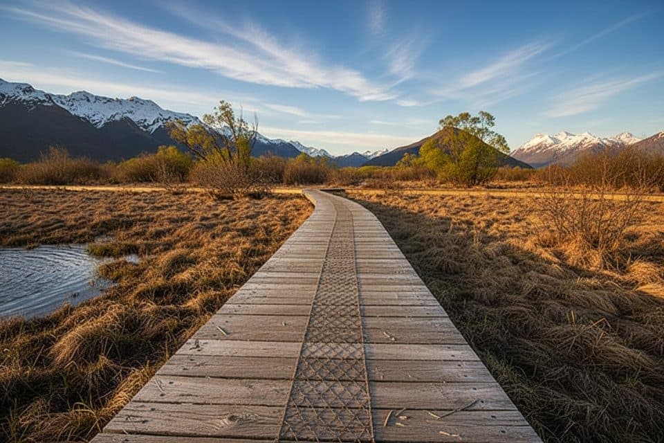 EasyGlenorchy Walkway5.5 km · 1.5 hr · 16.8 km awayFlat wetland loop with boardwalks, birdlife, and mirror-like mountain reflections.
Parkwolf’s Queenstown-Lakes District ranking

The audio tour guide for the drive, plus offline maps, trails, and wildlife heatmaps for when the signal drops.