Parking
Start at Routeburn Shelter car park at the end of Routeburn Road. Finish at the Lake Sylvan track near Sylvan Campsite; arrange a pickup or follow the gravel road back if closing the loop.
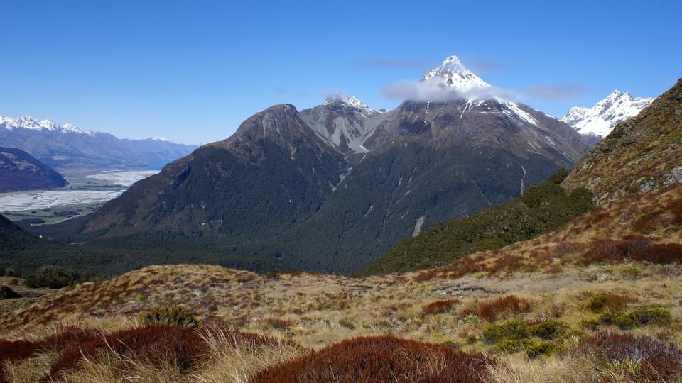
Queenstown-Lakes District, New Zealand, OT
Cross Sugarloaf Pass for a full day between forest and alpine valleys.
Overview
Map & elevation
Plan your hike

The highest, rockiest slopes around here are a summer buffet for grizzly bears.
Queenstown-Lakes District Tour Guide
Parkwolf is a GPS audio tour guide for Queenstown-Lakes District, New Zealand. As you drive, it chimes in with what’s ahead: hidden gems, upcoming stops, history, geology, and wildlife, right through your car’s speakers.
See the Queenstown-Lakes District audio tourRecorded for this trailhead
Routeburn Shelter and Nature Walk“You're coming up on Routeburn Shelter, the start of the Routeburn Track.”
Plays as you drive up to this trailhead in the Parkwolf Queenstown-Lakes District Tour Guide.
More stories near here in the app
“Fantastic app with many points of information… It’s great to just turn on while you’re driving and it gives you an audio tour of the national Park. We love it!!!!”


Trail guide
Sugarloaf and Rockburn is a 9.9-mile point-to-point crossing from Routeburn Shelter to the Lake Sylvan track near Sylvan Campsite. Allow 8 to 11 hours. You share the Routeburn Track briefly, climb Sugarloaf Pass, descend into the Rockburn valley, then cross moraine and beech forest to Lake Sylvan. This suits experienced walkers looking for a full alpine day, not a short Routeburn side trip.
The through-track itself is about 16 km. The longer 21 km option appears to include the gravel-road return from Sylvan Campsite to Routeburn Shelter, turning the crossing into a loop.
From Routeburn Shelter, cross the swing bridge and follow the well-formed Routeburn Track for about ten minutes; take the left-hand turn onto Sugarloaf Track. The climb threads through beech forest and small stream gullies, then breaks above the bushline onto a fragile, often muddy and boggy saddle. That's where the views open into both the Routeburn and Rockburn valleys, with the Humboldt Mountains and Dart River valley beyond.
Cross the pass and continue down toward the Rockburn shelter. It stands at the Rock Burn and Te Awa Whakatipu (Dart River) confluence. The nearby chasm, river beaches and pools make a good place to pause before the route follows moraine and beech forest toward Lake Sylvan.
This is exposed alpine terrain: strong winds, extreme temperatures, snow and ice can occur at any time, and winter or otherwise poor conditions make the pass a bad choice. Rain or snowmelt can raise streams quickly; don't cross high water. Streams and rivers in Whakaari Conservation Area are contaminated, so bring safe drinking water. Dogs and other pets aren't permitted in Mount Aspiring National Park.
Wildlife
 194 sightingsKeaMost seen around 5 PMSighting map
 18 sightingsKākāMost seen around 6 PMSighting map
 198 sightingsKererūMost seen around 10 AMSighting map
 53 sightingsWekaMost seen around 6 PMSighting map
 245 sightingsTūīMost seen around 8 AMSighting map
 98 sightingsBellbirdMost seen around 6 AMSighting map
Sighting maps show where each species has been reported across Queenstown-Lakes District. Wildlife moves, so no sighting is guaranteed.
Keep exploring
 ChallengingRouteburn Falls Track19.6 km · 7 hr · At the trailheadA long mountain day to Routeburn Falls, where the valley opens.
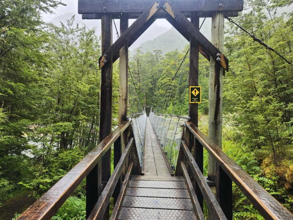 ModerateRouteburn Flats Track15 km · 4.5 hr · At the trailheadFollow the Route Burn through beech forest to the grassy flats.
 ChallengingHarris Saddle Track25.5 km · 9.5 hr · At the trailheadA full-day 25.5 km climb to Harris Saddle above Lake Harris.
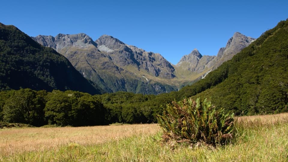 ChallengingRouteburn North Branch Track22.7 km · 8.5 hr · At the trailheadA full day to find a wilder branch of the Routeburn.
 EasyRouteburn Nature Walk3.1 km · 50 min · At the trailheadA short beech-forest loop with a Route Burn swingbridge.
 ChallengingRouteburn Track33.1 km · 13.5 hr · At the trailheadA 20 mile traverse from beech forest to exposed alpine country.
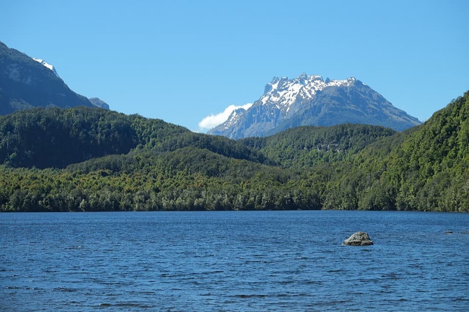 EasyLake Sylvan Track6.5 km · 1.7 hr · 2.9 km awayA red-beech lake walk with a return along a 1920s tramline.
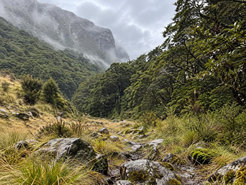 ChallengingScott Creek Track7.3 km · 6 hr · 5.4 km awayA steep, rough climb toward remote Scott Basin.
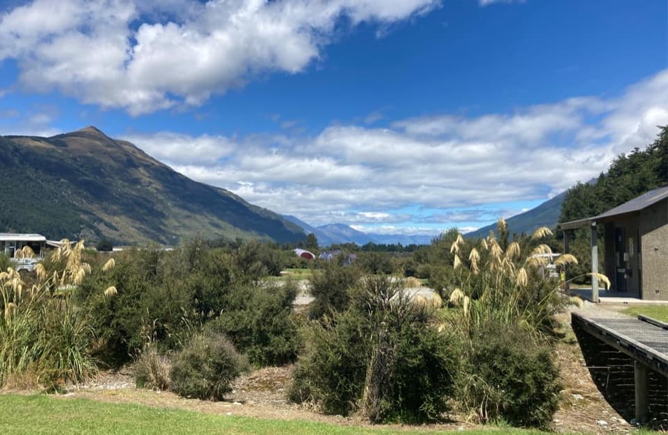 Campground · 2.9 km awaySylvan CampsiteRiverside camping with Lake Sylvan and Routeburn walks nearby.
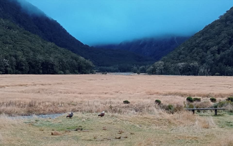 Campground · 5.2 km awayRouteburn Flats CampsiteA walk-in campsite on the Routeburn Track’s open grassy flats.
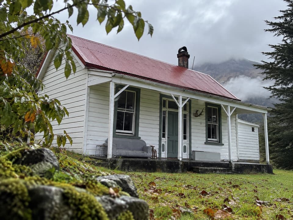 Lodging · 6.8 km awayParadise TrustBook a remote historic stay at the head of Lake Wakatipu.
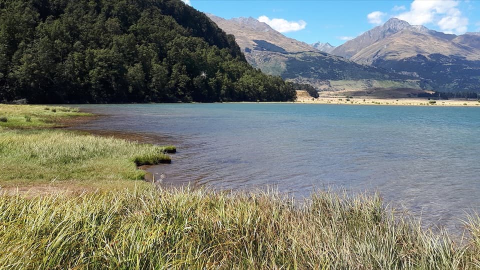 Campground · 8.3 km awayDiamond Lake CampsiteSwim, fish, or kayak beside your overnight stop.
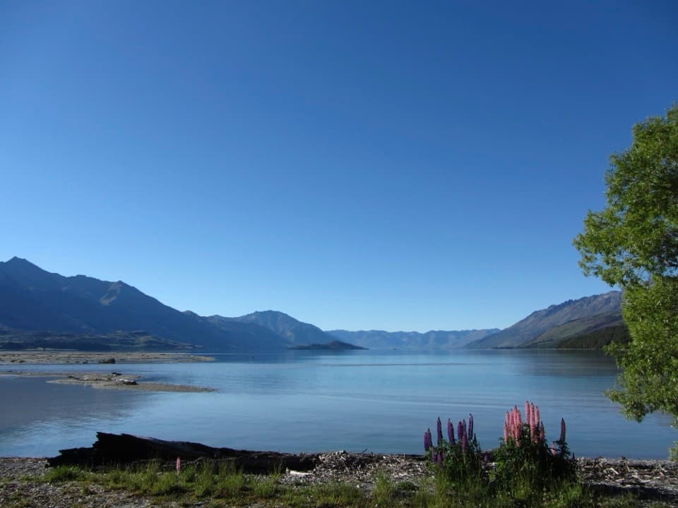 Campground · 15 km awayKinloch CampsiteRemote lakeside camping, with a gravel approach that can flood.
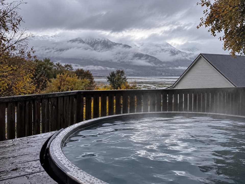 Lodging · 15 km awayKinloch Wilderness RetreatA remote lakehead lodge for meals, nights and dark skies.
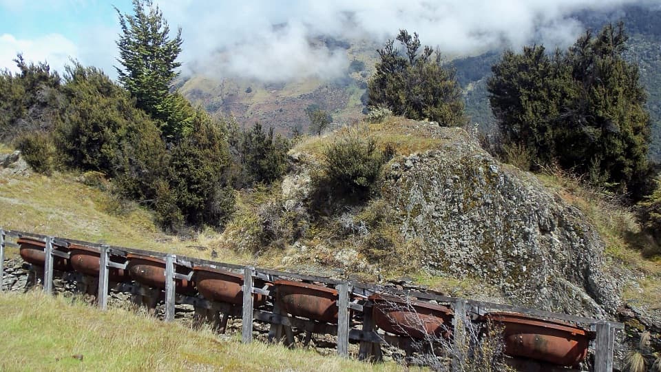 Sight · 15.1 km awayInvincible MineSeven old ore-grinding bowls reward the climb above Rees Valley.
Parkwolf’s Queenstown-Lakes District ranking

The audio tour guide for the drive, plus offline maps, trails, and wildlife heatmaps for when the signal drops.



