Parking
Start at the Routeburn Shelter car park. Capacity and fee details were not established in the sources checked.

#6 of 155 trails in Queenstown-Lakes District
Queenstown-Lakes District, New Zealand, OT
A long mountain day to Routeburn Falls, where the valley opens.
Overview
Routeburn Falls Track is a 19.6 km return walk from Routeburn Shelter to Routeburn Falls Hut and back, following the Route Burn through the lower valley before climbing from Routeburn Flats to a waterfall at the bushline. DOC lists 9.8 km one way and 2½–4 hours to the hut, so allow 5–8 hours of walking, plus stops. If you have a full day and want the Routeburn’s river, open flats, beech forest and a proper waterfall finish, this is a strong pick. The climbing after the flats is the price of reaching the falls; it’s a long mountain walk, not a stroll to a viewpoint.
 Parkwolf’s verdictIs this the full-day hike for you?
Map & elevation
Plan your hike

The highest, rockiest slopes around here are a summer buffet for grizzly bears.
Queenstown-Lakes District Tour Guide
Parkwolf is a GPS audio tour guide for Queenstown-Lakes District, New Zealand. As you drive, it chimes in with what’s ahead: hidden gems, upcoming stops, history, geology, and wildlife, right through your car’s speakers.
See the Queenstown-Lakes District audio tourRecorded for this trailhead
Routeburn Shelter and Nature Walk“You're coming up on Routeburn Shelter, the start of the Routeburn Track.”
Plays as you drive up to this trailhead in the Parkwolf Queenstown-Lakes District Tour Guide.
More stories near here in the app
“Fantastic app with many points of information… It’s great to just turn on while you’re driving and it gives you an audio tour of the national Park. We love it!!!!”


Trail guide
From the car park at Routeburn Shelter, the track heads beside the clear Route Burn. It passes Sugarloaf Stream, climbs to Bridal Veil Falls and continues above the gorge before a swing bridge opens onto grassy flats. The river gives this first stretch plenty to look at, and the terrain changes as the valley widens. The official walk starts at the shelter; the parking area’s capacity and fee details weren’t established in the sources checked.
Routeburn Flats is a good place to pause before the main climb. The Routeburn Flats Hut sits on a short spur from the through track; visit it and retrace the spur to continue toward Falls Hut. That backtrack is included in the route and in the 9.8 km one-way figure. The grassy clearing and hut make a useful break, but don’t mistake this for the end if the waterfall is your goal.
Beyond the flats, the grade becomes a steady climb through beech forest. Views toward the Humboldt Mountains open up as you gain height. The surface can be steep and rough in places, and wet weather can leave it muddy or slippery, so the walk may feel slower than the distance suggests. Take your time on the ascent; this is the more demanding half of the outward walk.
Routeburn Falls is beside Routeburn Falls Hut, right at the edge of the bushline. The hut area looks out over the Route Burn valley and the Humboldt Mountains, so you get both a close look at the cascade and a wide view back down the route. It’s a satisfying turnaround: the waterfall is the destination, not just a passing stream crossing. For a photo, include the hut or the forest edge with the falls so the picture shows where the cascade sits in the landscape.
DOC’s Routeburn guide names mōhua (yellowhead), rock wren (tuke) and blue duck (whio) among the native birds the track’s conservation work is intended to protect. DOC reports these species are being seen along the Routeburn, but that doesn’t make a sighting likely on any one walk. The beech-forest stretch is where to keep an eye out, rather than expecting the birds at the hut.
Turn back at Routeburn Flats if the second climb or the full day doesn’t suit you. You’ll still get the river, Bridal Veil Falls and the open grassy valley, but you won’t reach Routeburn Falls or the Humboldt Mountain views from the hut. The shorter version shares the approach; it is a different turnaround, not the Falls walk.
Wildlife
 194 sightingsKeaMost seen around 5 PMSighting map
 18 sightingsKākāMost seen around 6 PMSighting map
 198 sightingsKererūMost seen around 10 AMSighting map
 53 sightingsWekaMost seen around 6 PMSighting map
 245 sightingsTūīMost seen around 8 AMSighting map
 98 sightingsBellbirdMost seen around 6 AMSighting map
Sighting maps show where each species has been reported across Queenstown-Lakes District. Wildlife moves, so no sighting is guaranteed.
Keep exploring
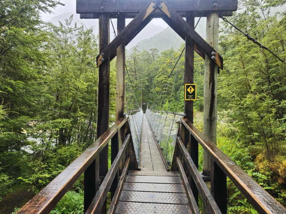 ModerateRouteburn Flats Track15 km · 4.5 hr · At the trailheadFollow the Route Burn through beech forest to the grassy flats.
 ChallengingHarris Saddle Track25.5 km · 9.5 hr · At the trailheadA full-day 25.5 km climb to Harris Saddle above Lake Harris.
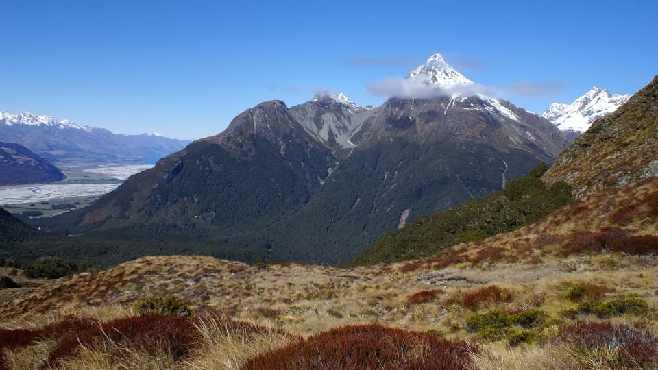 ChallengingSugarloaf and Rockburn Tracks16 km · 9.5 hr · At the trailheadCross Sugarloaf Pass for a full day between forest and alpine valleys.
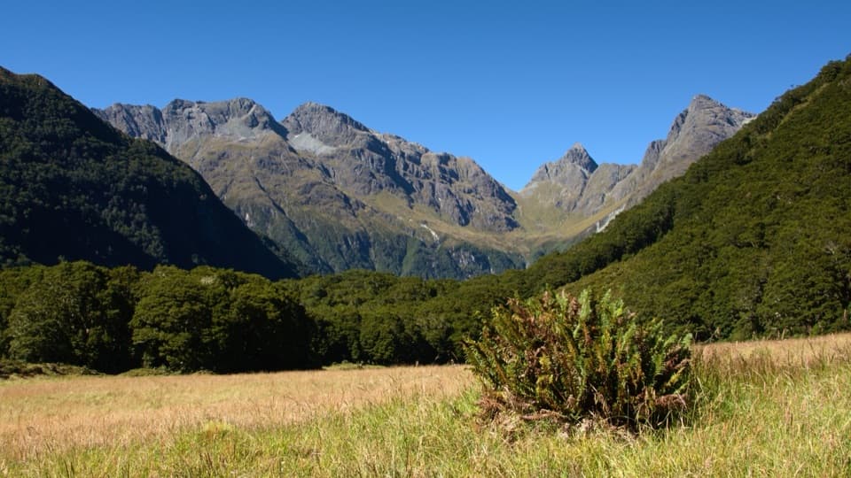 ChallengingRouteburn North Branch Track22.7 km · 8.5 hr · At the trailheadA full day to find a wilder branch of the Routeburn.
 EasyRouteburn Nature Walk3.1 km · 50 min · At the trailheadA short beech-forest loop with a Route Burn swingbridge.
 ChallengingRouteburn Track33.1 km · 13.5 hr · At the trailheadA 20 mile traverse from beech forest to exposed alpine country.
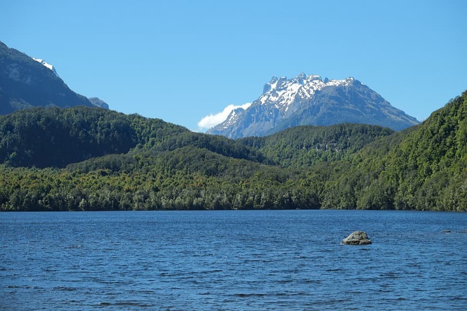 EasyLake Sylvan Track6.5 km · 1.7 hr · 2.9 km awayA red-beech lake walk with a return along a 1920s tramline.
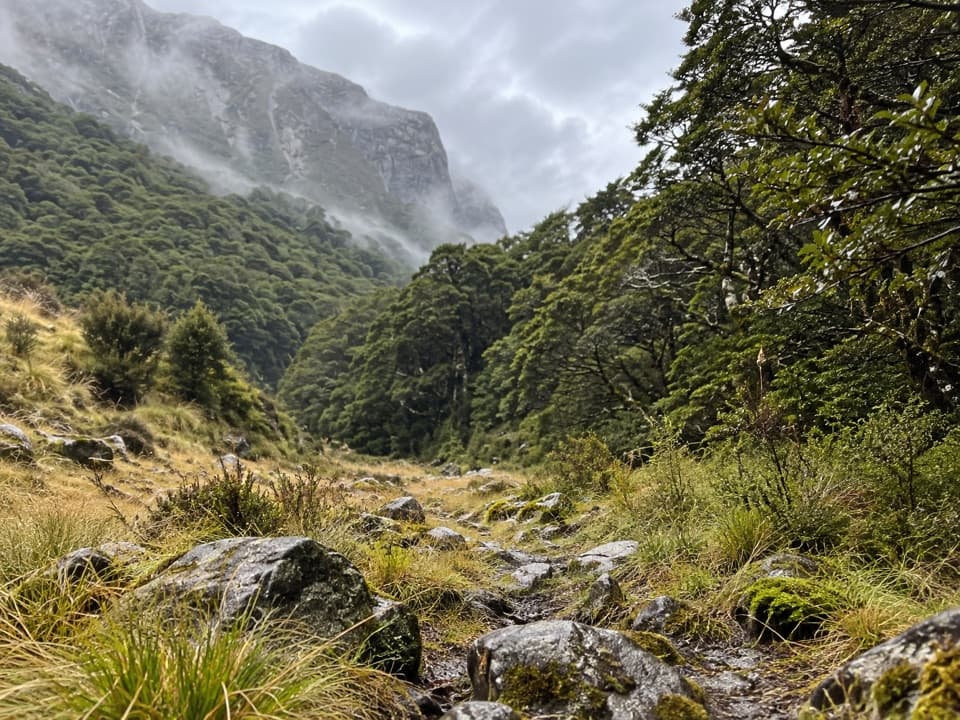 ChallengingScott Creek Track7.3 km · 6 hr · 5.4 km awayA steep, rough climb toward remote Scott Basin.
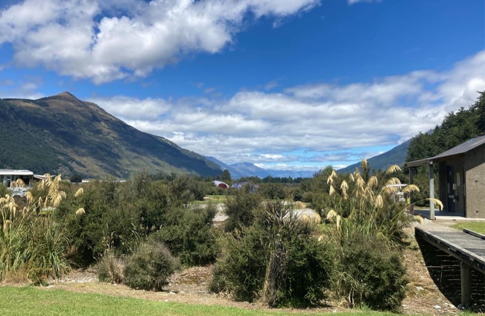 Campground · 2.9 km awaySylvan CampsiteRiverside camping with Lake Sylvan and Routeburn walks nearby.
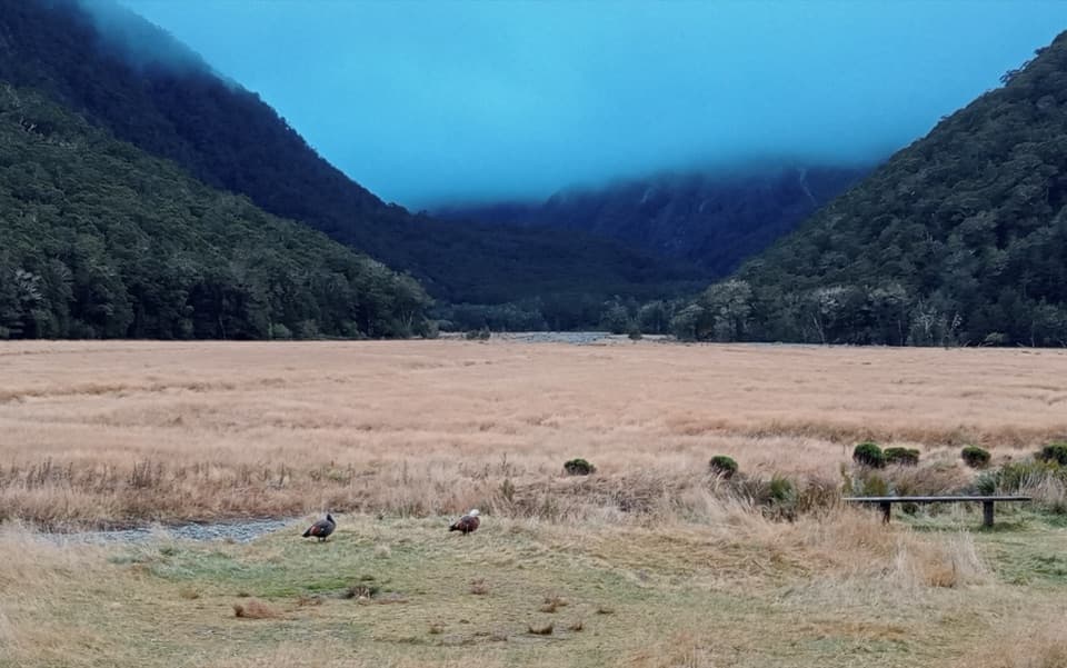 Campground · 5.2 km awayRouteburn Flats CampsiteA walk-in campsite on the Routeburn Track’s open grassy flats.
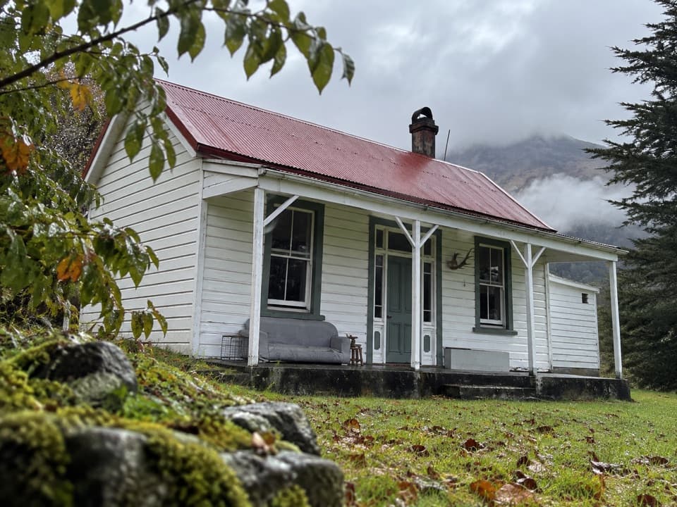 Lodging · 6.8 km awayParadise TrustBook a remote historic stay at the head of Lake Wakatipu.
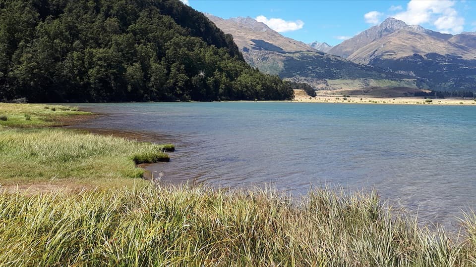 Campground · 8.3 km awayDiamond Lake CampsiteSwim, fish, or kayak beside your overnight stop.
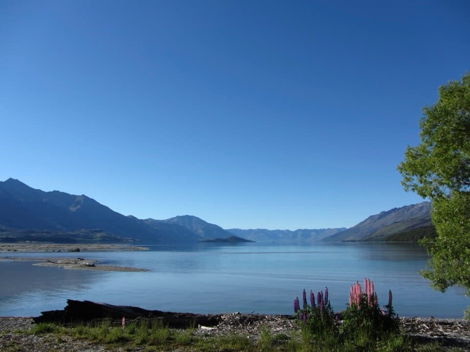 Campground · 15 km awayKinloch CampsiteRemote lakeside camping, with a gravel approach that can flood.
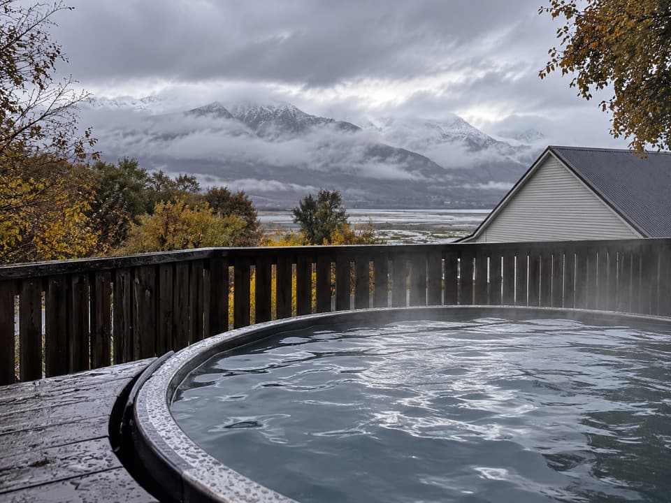 Lodging · 15 km awayKinloch Wilderness RetreatA remote lakehead lodge for meals, nights and dark skies.
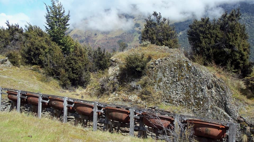 Sight · 15.1 km awayInvincible MineSeven old ore-grinding bowls reward the climb above Rees Valley.
Parkwolf’s Queenstown-Lakes District ranking
The audio tour guide for the drive, plus offline maps, trails, and wildlife heatmaps for when the signal drops.