Moderate

Routeburn Track

Iconic alpine hut to hut traverse with big mountain and lake views
Routeburn Track, Queenstown-Lakes District, New Zealand
Distance20 mi
Typical time13.5 hr
DifficultyModerate
PetsNot allowed

Overview

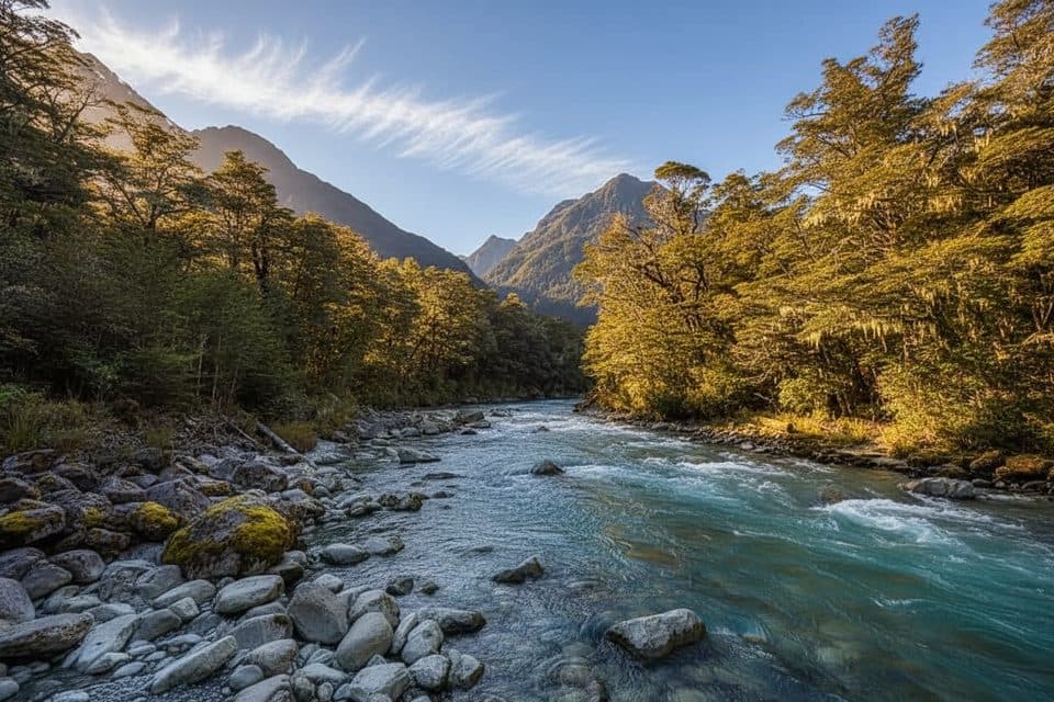
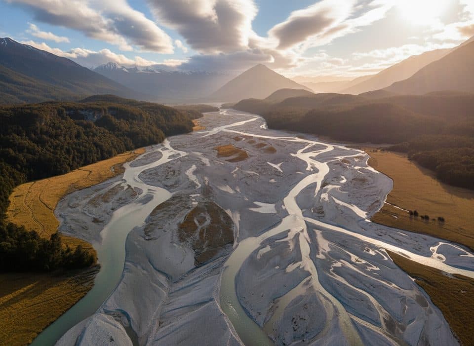
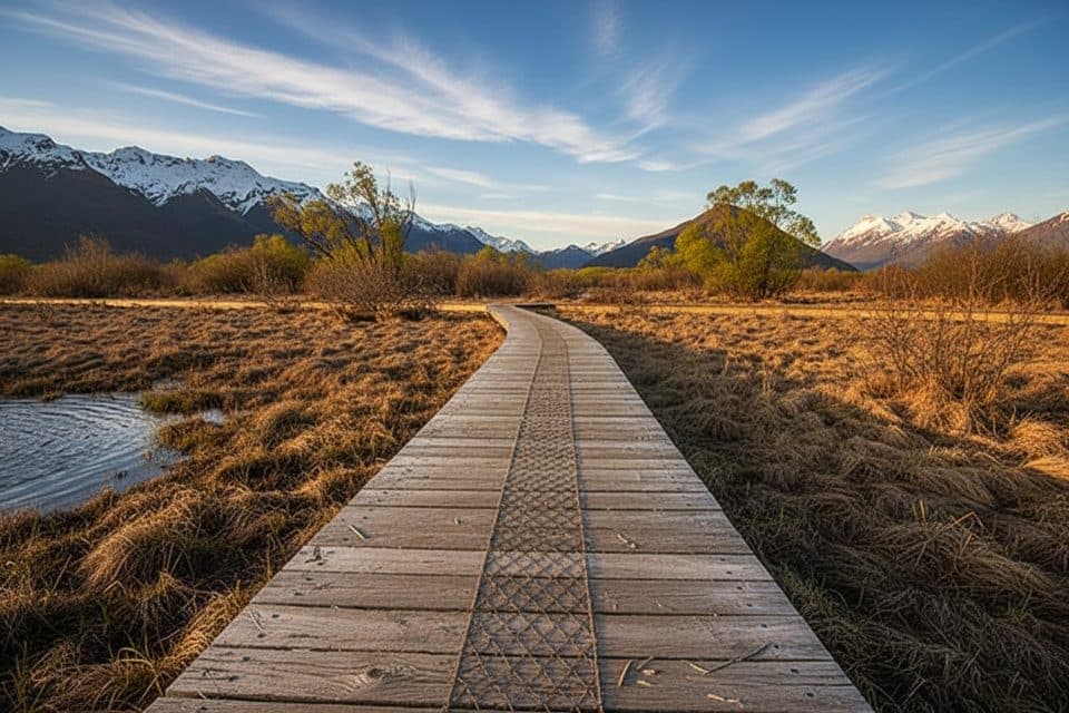
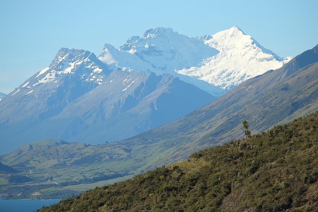
A 32 km (20 mile) one‑way Great Walk linking Mount Aspiring National Park with Fiordland, the Routeburn Track packs river flats, beech forest, tussock alpine gardens, and huge ridgeline vistas into 2–3 days. The high point is Harris Saddle/Tarahaka Whakatipu at 1,255 m, with sections of steep drop‑offs and exposure that feel properly alpine. Most hikers go east→west from Routeburn Shelter to The Divide, but it works either way.

Route and distances

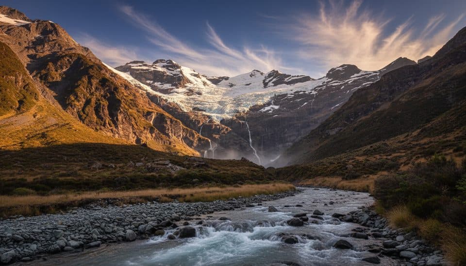
Common pacing is three days: Routeburn Shelter to Routeburn Falls Hut (about 2.5–4 hours), Falls to Lake Mackenzie Hut (4.5–6 hours) via the Harris Saddle and bluffs, and Lake Mackenzie to The Divide (4–5.5 hours) past the 174 m Earland Falls. Side trips boost the payoff: Conical Hill from the saddle for a panoramic viewpoint, and Key Summit near The Divide for alpine wetland scenery. Expect varied footing from gentle riverside track to exposed alpine benches.

Huts, camps, and bookings

There are three huts and two campsites along the track: Routeburn Flats Hut (20 bunks) with an adjacent campsite, Routeburn Falls Hut (48 bunks), and Lake Mackenzie Hut (50 bunks) with a campsite. During the Great Walks season (November 1, 2025–April 30, 2026) bookings are essential and fill months ahead in December–February. In season, huts provide bunks with mattresses, heating, toilets, basic cooking facilities, and gas; outside the season facilities are reduced (no gas in huts, pit toilets, and water turned off inside). Campers have basic facilities and may not use hut amenities. Fees in season: huts NZ$88 (NZ adult) / NZ$132 (international adult) per night; campsites NZ$28 / NZ$42, with child rates available.

Logistics and transport

Trailheads are Routeburn Shelter (near Glenorchy/Queenstown) and The Divide (on the Milford Road near Te Anau). The road distance between ends is roughly 325 km, so most hikers use a shuttle, bus, or car relocation. Daily bus services run from Queenstown and Te Anau. If a through‑walk isn’t possible, both ends make rewarding out‑and‑backs to Routeburn Flats/Falls or to Lake Mackenzie, respectively.

Best time to hike

The main season is November through April. Early season can still bring snow and ice at elevation and lingering avalanche hazards; mid‑summer (December–February) is the busiest—book as soon as you have dates. Outside the season (May–October) conditions are alpine and suitable only for experienced parties with winter skills and equipment.

Conditions, closures, and safety

Weather shifts fast—strong wind, heavy rain, cold snaps, and low visibility are all possible year‑round. There’s no mobile coverage on most of the track (a 4G mast exists at The Divide). Check track alerts and the Harris Saddle webcam before you go; winter bridges may be removed. As of Tuesday, November 18, 2025, the alpine section between Routeburn Falls Hut and Lake Mackenzie Hut is closed due to deep snow and high avalanche danger; walkers can currently access from either end to those huts and must return the same way, with refunds and updates managed by the park authority. Follow “Check, Clean, Dry” practices—didymo has been detected in local creeks—and note the track is not recommended for children under 10.

Pros

  • Well‑serviced Great Walk huts with mattresses and in‑season gas and heating simplify logistics
  • Optional side trips (Conical Hill, Key Summit) add top‑tier viewpoints without extra nights

Cons

  • One‑way route with a 325 km road gap makes shuttles or car relocation almost mandatory
  • Early‑season avalanche risk can close the alpine section and disrupt plans

Parking

Trailheads at Routeburn Shelter (near Glenorchy) and The Divide (near Te Anau). Because the ends are ~325 km apart, most hikers arrange a shuttle/bus or car relocation; if the alpine section is closed, plan an out‑and‑back from your starting trailhead.

Caution

Rapid weather changes, steep drop‑offs, and avalanche/snow/ice at elevation. Limited cell coverage (4G only at The Divide). Outside Great Walks season facilities are reduced and some bridges may be removed. As of Nov 18, 2025, the Falls–Mackenzie alpine section is closed for avalanche danger.

The Parkwolf tour guide sitting on a phone mounted in a car

Parkwolf Tour Guide

Like a tour guide in your car.

Bring Queenstown-Lakes District trail research into the car, with offline maps and stories that play as you drive.Download Parkwolf on the App Store