
Place · 0.7 mi away
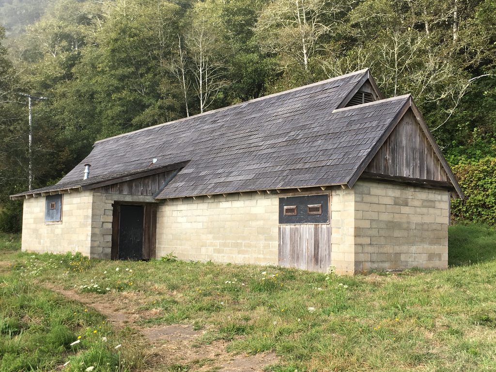
Hidden just off Coastal Drive, the World War II Radar Station B-71 is a quirky slice of wartime history: two concrete-block buildings dressed up as a farm to fool enemy eyes. It’s a short, low-effort stop that blends a fascinating story with rugged ocean scenery.
You’ll walk right up to the “farmhouse” (power building) and “barn” (operations building) — complete with false siding and other built-in camouflage touches. The interiors are closed, but the exteriors tell the tale. Remnants of the old two-stall privy and traces of gun positions linger, and there’s interpretive signage to frame what you’re looking at. Expect weathered structures and a windswept, dramatic coastline; keep an eye out for banana slugs along the path.
Access is via Coastal Drive, a narrow, unpaved gravel road. Large vehicles aren’t recommended, and trailers aren’t allowed. Park at the small pullout signed as the WWII Radar Farmhouse Trailhead and walk a very short path downhill to the site. If you’re hiking Flint Ridge, the trailhead sits about 0.5 mile south of Flint Ridge Camp along Coastal Drive/Trail.
There are no facilities here — no restrooms, water, or indoor access. The ground can be muddy from runoff and erosion, so wear sturdy shoes. Parking is just a small pullout, and the road is slow-going; plan accordingly. Please don’t climb on or enter the fragile historic structures.
B-71 was part of a coastal early-warning network built in 1942–43 and was the northernmost station of its kind in California. About 35 Army Air Corps personnel kept it running around the clock, backed by military police and anti-aircraft guns. Its farm disguise is the hook — a clever bit of deception meant to hide its purpose from prying eyes. In mid-1944 it shifted to emergency rescue service and operated through the end of the war. Today it’s listed on the National Register of Historic Places.
Swing by on weekday mornings or late afternoons for easier parking and softer coastal light. It’s a brief stop — think 10–20 minutes — and pairs well with a leisurely loop of Coastal Drive or a Flint Ridge stroll.
Place · 0.7 mi away
Place · 2.3 mi away
Place · 4 mi away
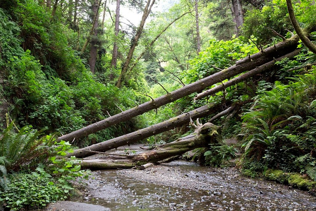
Place · 8.3 mi away
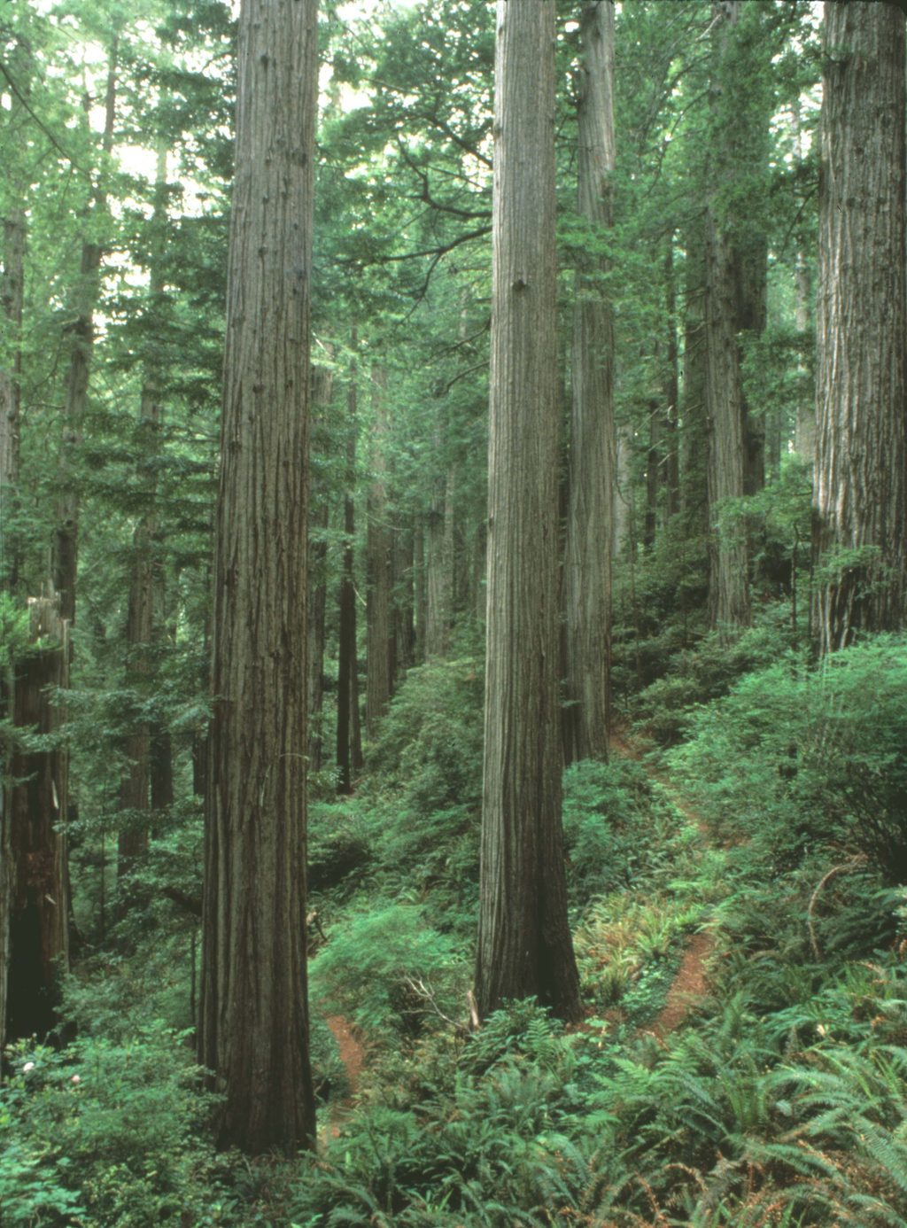
Moderate · 1.7 mi away
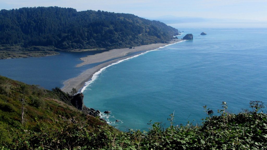
Moderate · 2.3 mi away
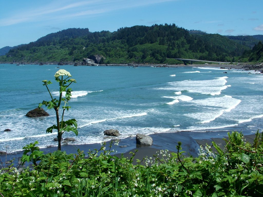
Moderate · 5.1 mi away
Easy · 5.1 mi away

Parkwolf Tour Guide
