Overview
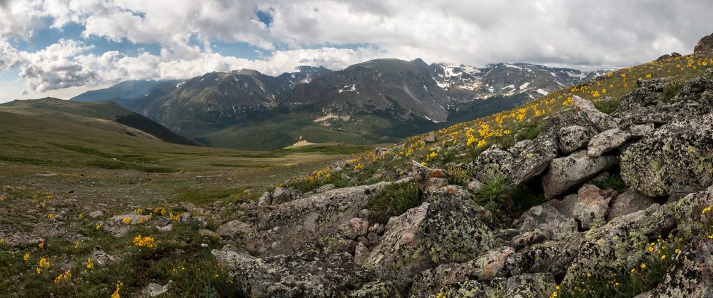
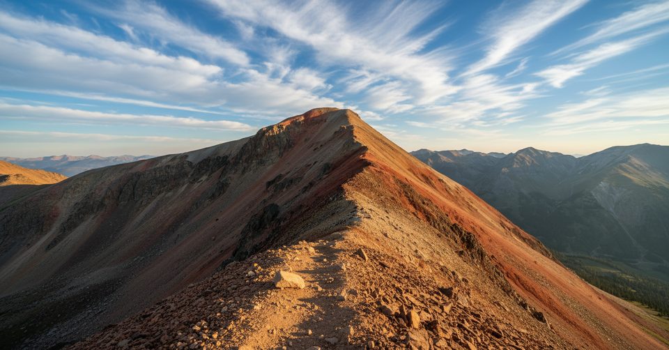
The Continental Divide is the continent’s rooftop watershed line—rains and snows west of it flow to the Pacific, east to the Atlantic. Rocky Mountain National Park straddles this ridge, with the headwaters of the Colorado River on its west side and sweeping tundra and peaks above 12,000 feet tying the whole story together. If you want the big-picture geology and hydrology, this is it. Expect far-reaching vistas and that “one foot in each ocean basin” feeling in multiple spots across the park. [nps.gov](https://www.nps.gov/rlc/continentaldivide/index.htm) [mortonsonthemove.com](https://www.mortonsonthemove.com/rocky-mountain-national-park-wildlife/) [fs.usda.gov](https://www.fs.usda.gov/managing-land/trails/cdt)
Ways to Experience It
- Scenic drive pullouts: The park’s high roads crest near the Divide with classic pull-to-the-shoulder photo ops and big tundra views. Small roadside stops commonly have vault toilets (or none), so bring your own water and don’t count on running taps. Major facilities (like visitor centers) have the most reliable restrooms. [rockymountainnationalpark.com](https://www.rockymountainnationalpark.com/gallery/accessibility-facilities/)
- Alpine Visitor Center pairing: Sitting at 11,796 feet—the highest visitor center in the national park system—Alpine Visitor Center offers parking and restrooms, with flush toilets available during the summer season. It’s an easy add-on to a Divide stop when the high country is open. [rockymountainnationalpark.com](https://www.rockymountainnationalpark.com/gallery/accessibility-facilities/)
Hike the Divide
- Continental Divide Trail: About 28 miles of the CDT run through the park, delivering sustained “on the Divide” hiking across subalpine and alpine zones. It’s the go-to for feeling the watershed split under your boots. [fs.usda.gov](https://www.fs.usda.gov/managing-land/trails/cdt) [cdtcoalition.org](https://cdtcoalition.org/hike_suggestion/rocky-mountain-national-park/)
- Grand Lake big loop (Tonahutu–North Inlet): A classic 28-mile loop from Grand Lake touches the Divide at 12,324 feet, with designated backcountry campsites along the way. Secure permits in advance (Kawuneeche Visitor Center handles backcountry logistics). [cdtcoalition.org](https://cdtcoalition.org/hike_suggestion/rocky-mountain-national-park/)
- Easier taste of Divide country: For mellow mileage with Divide views, stroll segments along Shadow Mountain Lake and Lake Granby (East Shore and Knight Ridge Trails). [cdtcoalition.org](https://cdtcoalition.org/hike_suggestion/rocky-mountain-national-park/)
Wildlife You Might See
- Elk are park headliners year‑round, with the dramatic rut in September–October. [nps.gov](https://www.nps.gov/romo/planyourvisit/wildlife_view.htm)
- Marmots and pikas thrive on the rocky alpine tundra—listen for the pika’s sharp calls near talus. [nps.gov](https://www.nps.gov/romo/planyourvisit/wildlife_view.htm)
- Bighorn sheep show up at Sheep Lakes/Horseshoe Park in late spring to mid‑summer; moose are common in the willow-rich Kawuneeche Valley on the west side. Give them a wide berth. [nps.gov](https://www.nps.gov/romo/planyourvisit/wildlife_view.htm) [mortonsonthemove.com](https://www.mortonsonthemove.com/rocky-mountain-national-park-wildlife/)
- Safety basics: If an animal reacts to you, you’re too close. Minimum distances apply—think 75 feet for elk/deer/bighorn and 120 feet for moose/bears/mountain lions. [nps.gov](https://www.nps.gov/romo/planyourvisit/wildlife_view.htm)
Know Before You Go
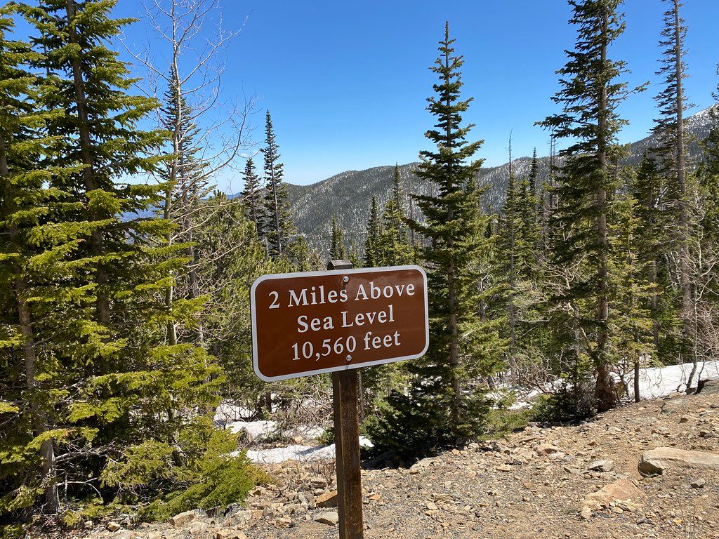
- Altitude is real here—much of the Divide terrain sits above 10,000 feet. Start hydrated, pace yourself, and recognize when it’s time to turn around. [cdtcoalition.org](https://cdtcoalition.org/hike_suggestion/rocky-mountain-national-park/)
- Services are limited at roadside stops; visitor centers have the most consistent restrooms. Alpine Visitor Center is seasonal, with summer flush toilets and additional restrooms nearby. [rockymountainnationalpark.com](https://www.rockymountainnationalpark.com/gallery/accessibility-facilities/)
Best Time to Visit
- Summer is prime for high-tundra access and pairing your stop with open facilities at Alpine Visitor Center; early fall brings crisp air and the elk rut soundtrack across the meadows. If you’re aiming for backpacking the big loop or CDT segments, secure permits and watch conditions closely. [rockymountainnationalpark.com](https://www.rockymountainnationalpark.com/gallery/accessibility-facilities/) [cdtcoalition.org](https://cdtcoalition.org/hike_suggestion/rocky-mountain-national-park/) [nps.gov](https://www.nps.gov/romo/planyourvisit/wildlife_view.htm)