
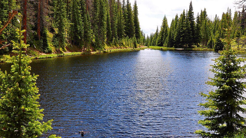
Place · 0.2 mi away
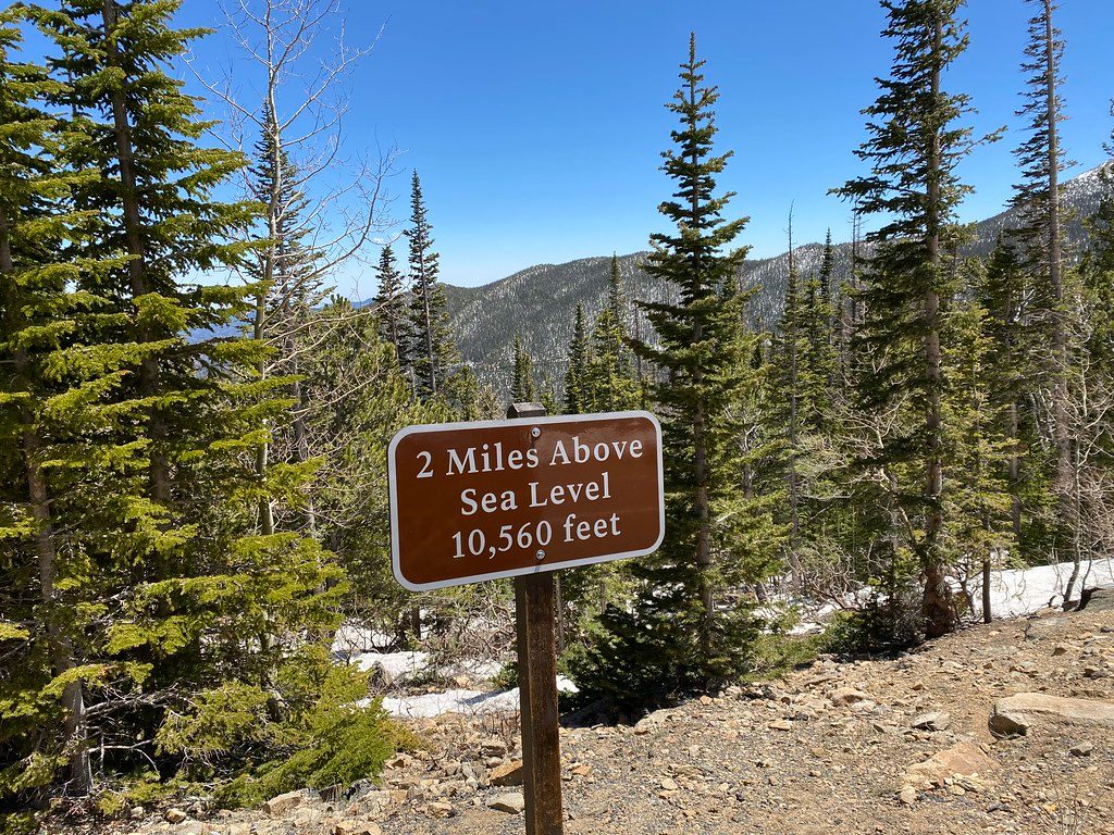
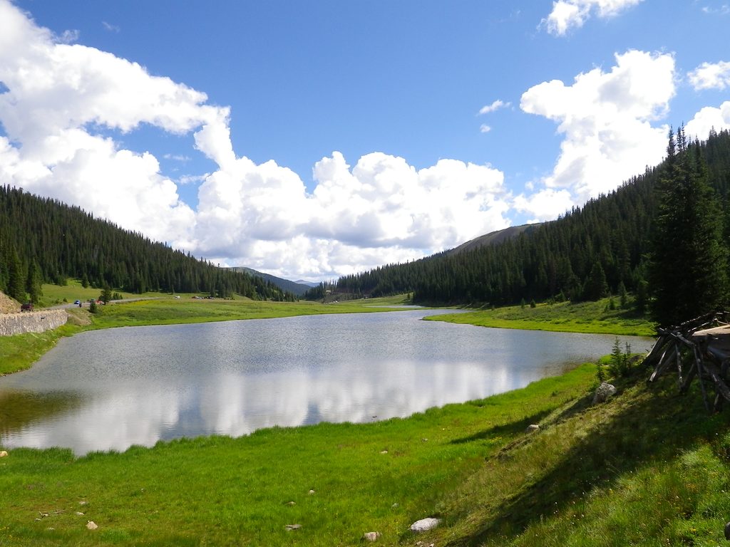
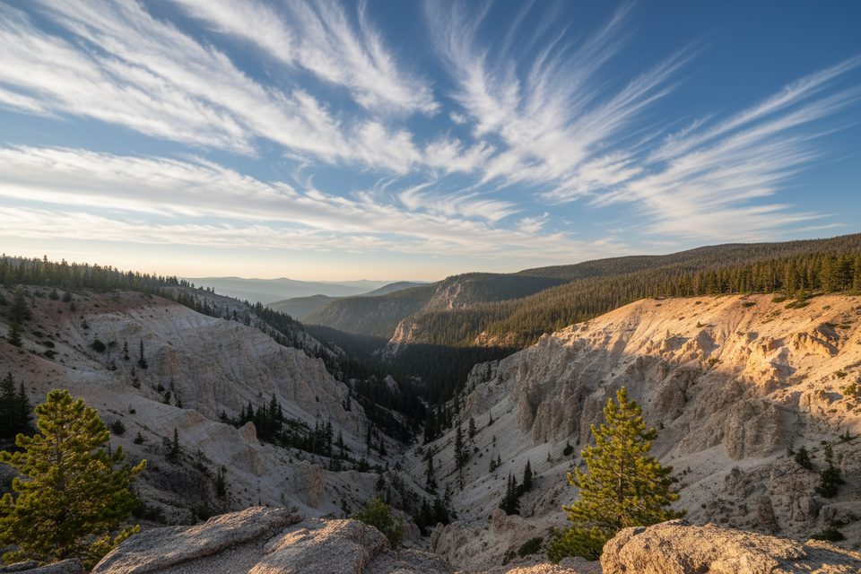
This is the jaw-dropping, two-miles-above-sea-level stretch of Trail Ridge Road—America’s highest continuous paved road—where the drive skims 10,560 feet and higher for miles. You’ll crest alpine tundra, cross the Continental Divide, and stare out at seemingly endless peaks without leaving your vehicle. Expect thinner air, brisk wind, and the kind of sweeping vistas you came here for.
Keep an eye out for elk and bighorn sheep grazing the tundra and meadows, especially mornings and evenings. Kawuneeche Valley on the west side is a reliable wildlife corridor; bring binoculars and never approach animals.
Above treeline the road can feel narrow and exposed with limited guardrails. Go slow, use pullouts liberally, and don’t push comfort zones. Lightning is a real risk on open tundra—if storms build, drop to lower elevations or stay in the car. Temperatures and wind change fast; layers, sun protection, water, and snacks are essential. Even sealed snack bags puff up at these elevations—pressure differences are noticeable.
This high stretch is a late-spring-to-autumn experience; snow and ice can close it anytime, even in shoulder seasons. The park may use a timed-entry system; plan ahead and secure reservations early or try for last-minute releases. Parking at major overlooks and at the Alpine Visitor Center is tight late morning through midafternoon—arrive early for an easier day.
Early morning is your sweet spot for calmer winds, easier parking, wildlife activity, and clean light for photography. Late afternoon into golden hour can be gorgeous too, with smaller crowds than midday. If weather turns unsettled, skip high points and return when skies stabilize.
Consider climbing via Old Fall River Road (when open), then returning on Trail Ridge Road for a grand, high-alpine loop anchored by the Alpine Visitor Center. End-to-end without stops takes about 1.5–2 hours; plan 3–5 hours with pullouts, short walks, and VC time.
Place · 0.2 mi away
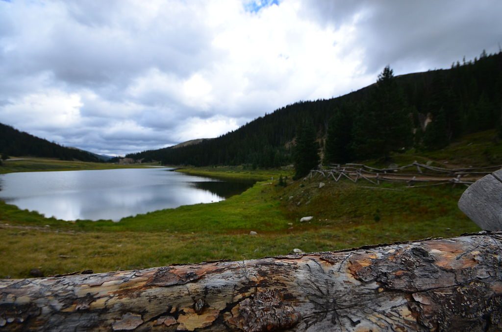
Place · 0.6 mi away
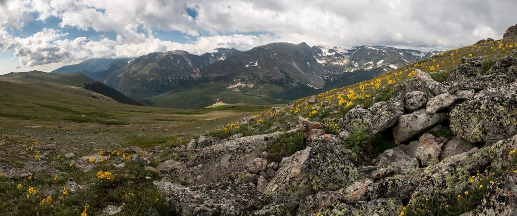
Place · 0.6 mi away
Place · 0.7 mi away
Easy · 0.2 mi away
Easy · 0.6 mi away
Easy · 1.8 mi away
Moderate · 1.8 mi away

Parkwolf Tour Guide
