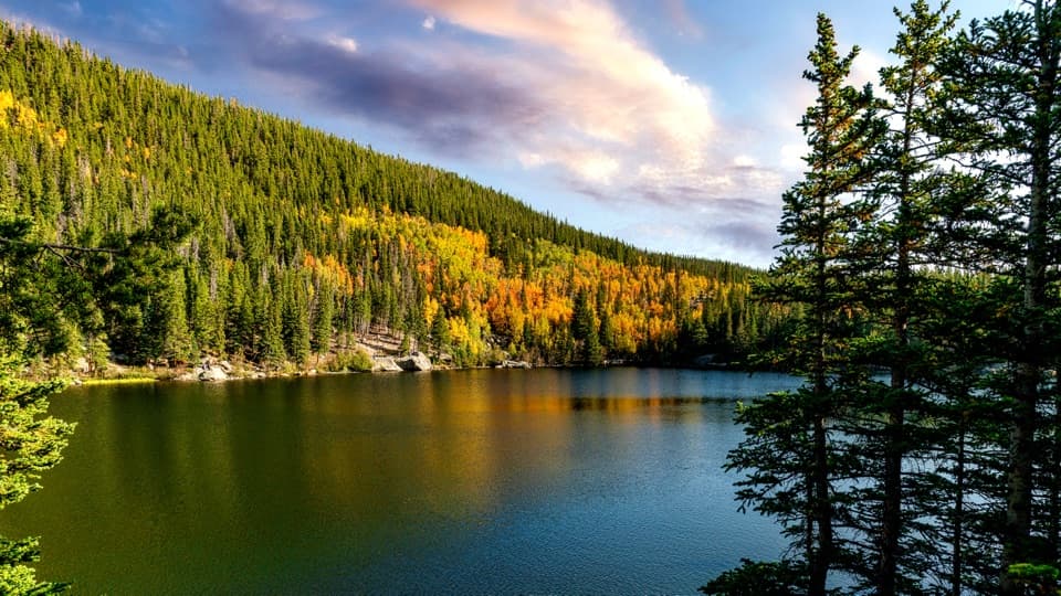
Best time to go
Trail Ridge Road usually closes from mid-October to Memorial Day, and snow can disrupt access at other times. Treat Lake Irene as a seasonal stop and check current road status before you go.
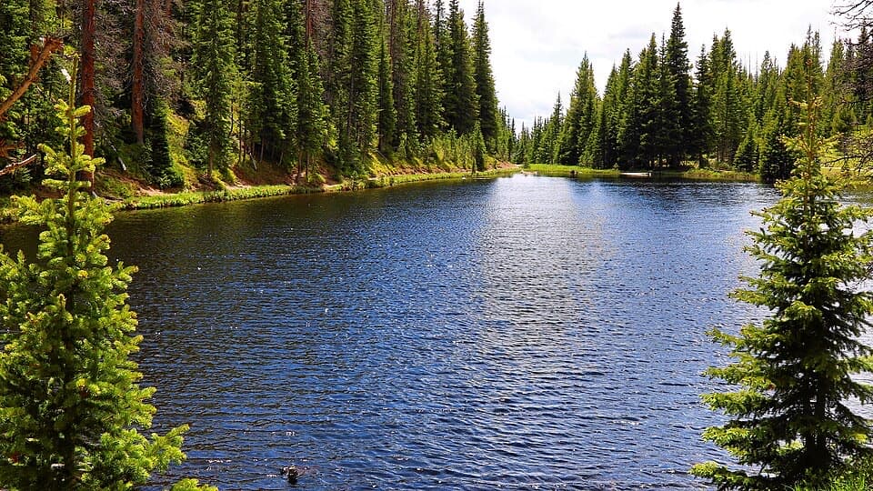
Sight · Rocky Mountain National Park
A quick lakeside loop and picnic stop on Trail Ridge Road.
Overview
Map
Plan your stop

The highest, rockiest slopes around here are a summer buffet for grizzly bears.
Rocky Mountain Tour Guide
Parkwolf is a GPS audio tour guide for Rocky Mountain National Park. As you drive, it chimes in with what’s ahead: hidden gems, upcoming stops, history, geology, and wildlife, right through your car’s speakers.
See the Rocky Mountain audio tourRecorded for this place
Lake Irene: A Lakeside Picnic Break“You're nearing Lake Irene, a small lake in the spruce and fir forest beside Trail Ridge Road. This is a good place for a picnic break or a short walk away from the car.”
Plays as you drive up to Lake Irene in the Parkwolf Rocky Mountain Tour Guide.
More stories near here in the app
“…No cell service for majority of the day but had continuous access to the app - the maps, the tour guide as you drive is amazing. Highly recommend purchasing the subscription.”


Guide
Lake Irene is a small subalpine lake beside Trail Ridge Road, about 4.7 miles south of Alpine Visitor Center. A picnic area sits a short walk from the water. It's a good stop for a little time away from the car: take the shoreline loop or eat at a table. The small paved lot has about a dozen spaces and can fill on busy days.
The path starts beyond the picnic sites at the far end of the lot, drops to the lake's north shore, and circles the water. The complete walk from the lot is under a mile with little climbing, so it fits easily between longer stops. Subalpine fir and Engelmann spruce line the shore, with wildflowers around the lake in mid-summer. For a photo, wait for a calm patch of water and frame the trees with their reflections.
There are eight picnic tables and vault or composting toilets. There are no fire grates, but portable grills are allowed. At 10,680 feet, even a short walk can feel different if you're not used to the elevation; take your time and rest if you feel off.
Sheep Rock rises across Trail Ridge Road, and bighorn sheep sometimes perch on its slopes. One local account says the lake was named for a guest at Camp Wheeler, a rustic dude ranch run by Bob “Squeaky Bob” Wheeler in the early 20th century.
Wildlife
 3,124 sightingsElkMost seen around 6 PMSighting map
 1,601 sightingsMooseMost seen around 7 PMSighting map
 19 sightingsMountain GoatMost seen around 7 AMSighting map
 19 sightingsBald EagleMost seen around 8 AMSighting map
 30 sightingsGolden EagleMost seen around 10 AMSighting map
 270 sightingsBighorn SheepMost seen around 11 AMSighting map
Sighting maps show where each species has been reported across Rocky Mountain. Wildlife moves, so no sighting is guaranteed.
Keep exploring
EasyLake Irene Trail0.8 mi · 45 min · At the trailheadA short lake loop with an optional meadow view.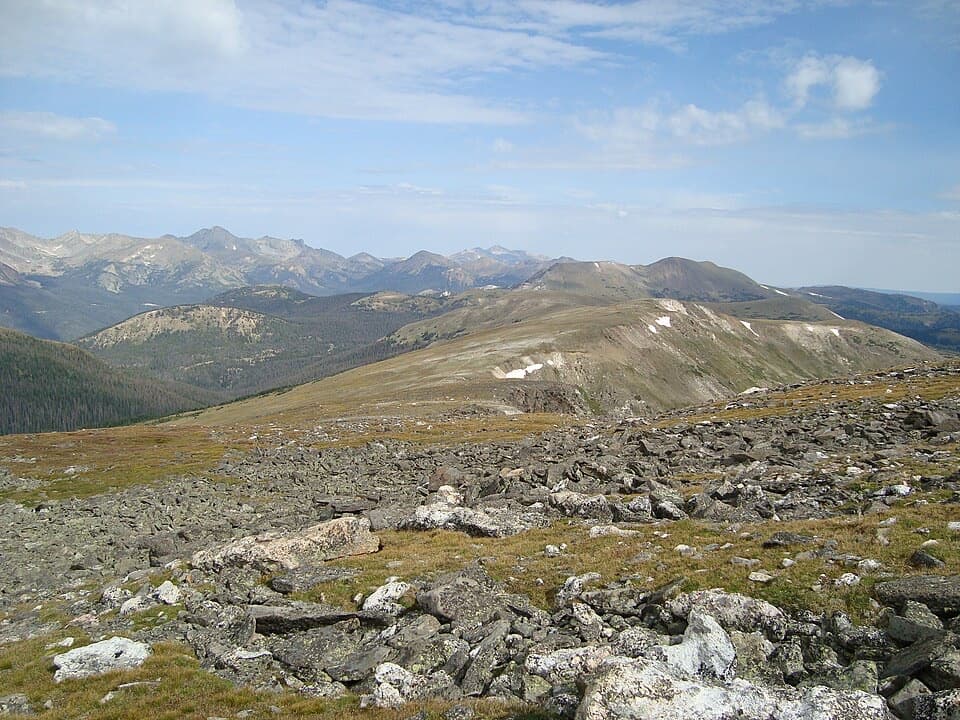 ChallengingMount Ida Trail9.6 mi · 6.5 hr · 0.6 mi awayA hard climb to a wide-open Continental Divide summit.
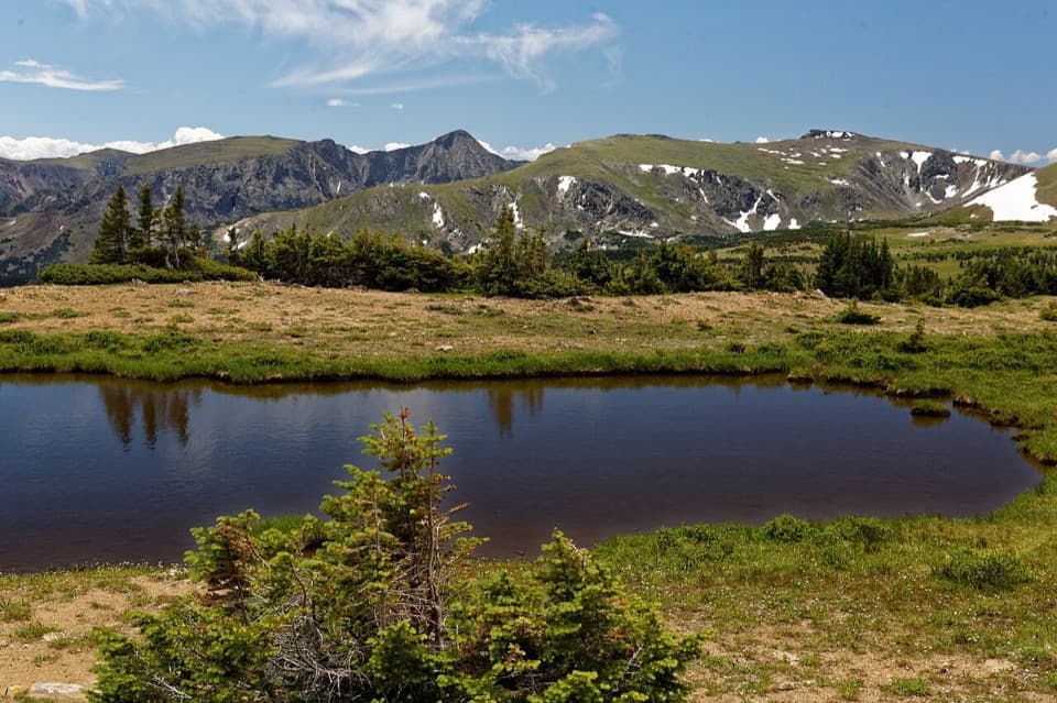 ModerateForest Canyon Pass Trail4.7 mi · 3.5 hr · 0.6 mi awayTundra ponds and canyon views reward this high-country climb.
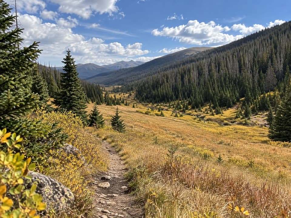 ModeratePoudre River Trail from Milner Pass6 mi · 3.5 hr · 1.1 mi awayA 6-mile headwaters out-and-back through high, wet meadows.
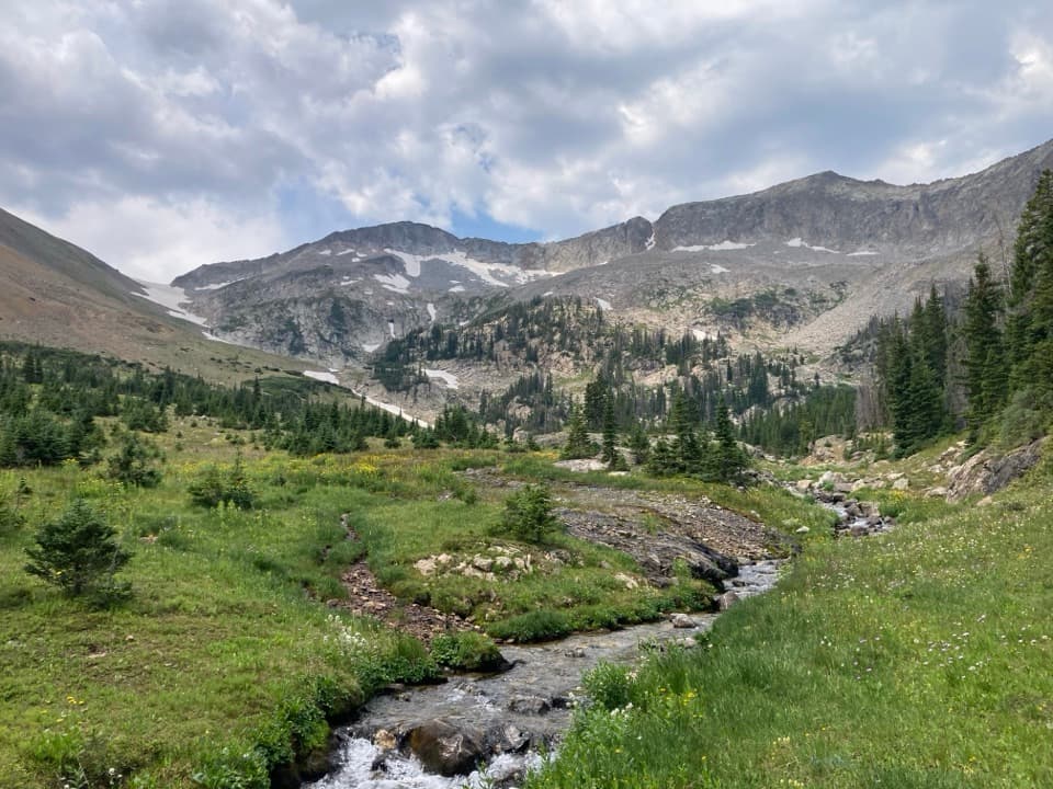 ChallengingSkeleton Gulch Trail12.4 mi · 11 hr · 1.8 mi awayA 12.4-mile out-and-back to a remote one-site camp.
 ModerateColorado River Trail to Lulu City7.4 mi · 3.5 hr · 1.8 mi awayFollow the old wagon road to a flowered mining-town site.
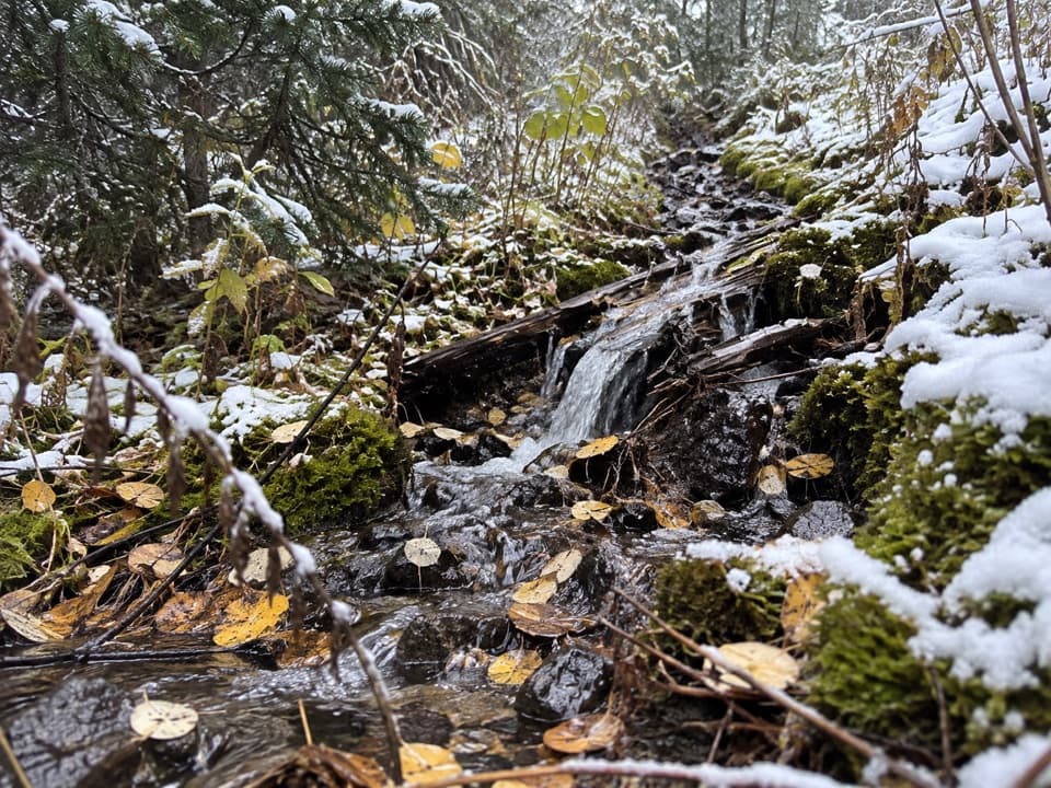 ModerateLittle Yellowstone Canyon Trail10.8 mi · 5.5 hr · 1.8 mi awayRiverside meadows give way to a colorful canyon and a steep climb.
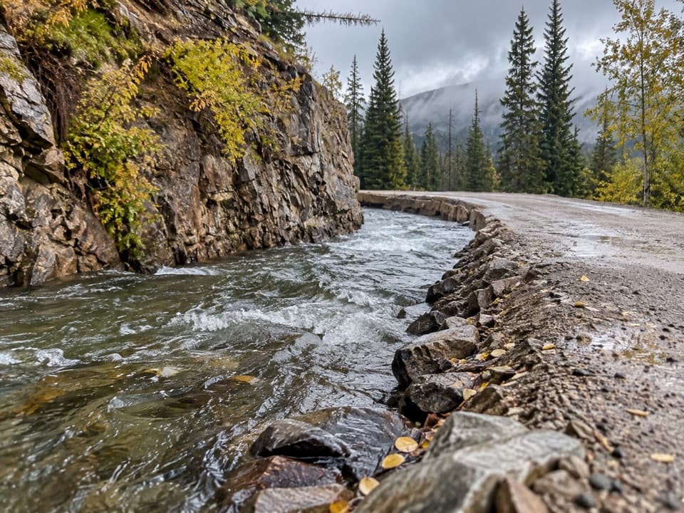 ChallengingDutch Town Trail12 mi · 10 hr · 1.8 mi awayClimb to faint mining traces below the Never Summer Range.
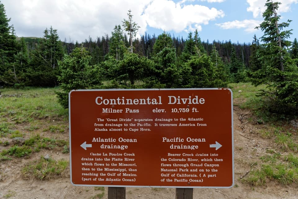 Sight · 0.6 mi awayMilner PassStand at the Continental Divide beside Poudre Lake.
 Sight · 1.3 mi awayFarview Curve OverlookThe Grand Ditch cuts a pencil line across the Never Summer Range.
 Picnic area · 2 mi awayBeaver Creek Picnic AreaA quiet meadow picnic stop with autumn elk viewing.
 Picnic area · 2.4 mi awayBeaver Ponds Picnic AreaA picnic beside two ponds, with a stairway down to the water.
 Sight · 2.8 mi awayLulu City Historic SiteA 7½-mile river walk to the park’s only platted ghost town.
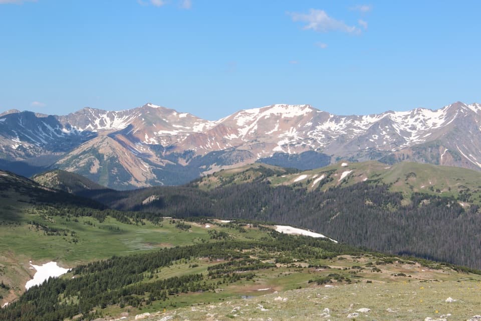 Sight · 3 mi awayGore Range OverlookCatch the Never Summer skyline without adding a hike.
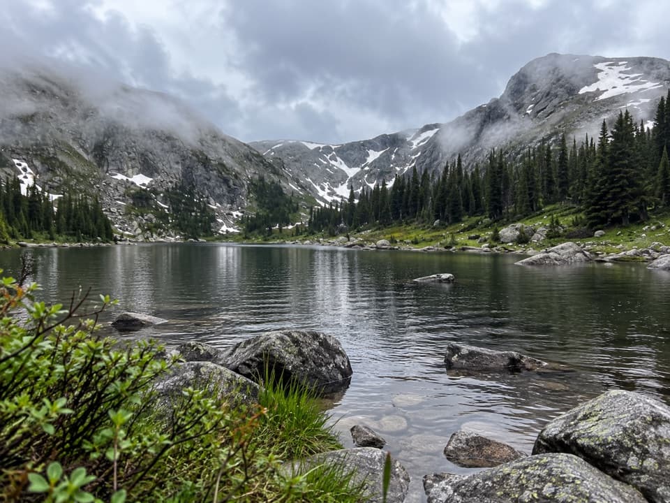 Sight · 3 mi awayTimber LakeA steep climb to a lake beneath two high peaks.
 Campground · 3 mi awayTimber Creek CampgroundWest-side camping at 8,900 feet, near Grand Lake.
Parkwolf’s Rocky Mountain ranking

The audio tour guide for the drive, plus offline maps, trails, and wildlife heatmaps for when the signal drops.