Milner Pass in Rocky Mountain National Park

Sight · Rocky Mountain National Park

Milner Pass

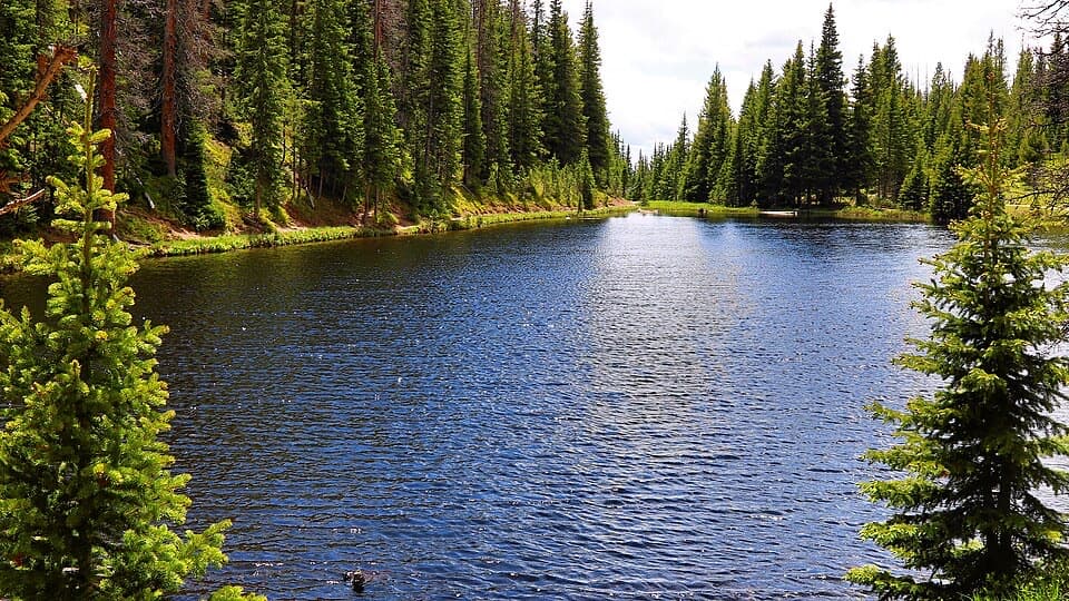
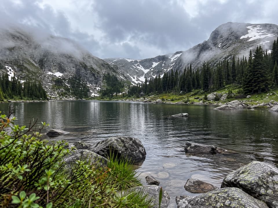
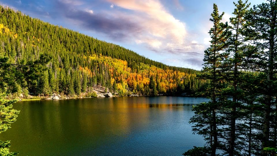
Stand at the Continental Divide beside Poudre Lake.

Photo: Wikimedia Commons
Type
Sight
Nearest trail
Right here
Audio stories
7 nearby
  • Parking
  • Restrooms
  • Trailhead
  • Scenic viewpoint
  • #16 of 64 sights

Hear the audio tour

Milner Pass: A Crossing Beside Poudre Lake

Overview

About Milner Pass

Why stop

  • The divide marker makes the watershed split easy to understand in person.

Heads up

  • The 10,759-foot elevation and seasonal road can limit the stop.

Map

Where it is

Loading the Rocky Mountain map
Full map
SightMilner Pass40.42015, -105.81169
Keep this map with you offline in the Parkwolf app

Plan your stop

Before you go

3 active Rocky Mountain alerts

  • ClosureOld Fall River Road closed to vehiclesOld Fall River Road is closed to motor vehicles for the season.Official details
  • ClosureSun Valley burn-area access remains closedThe area and trail west of Sun Valley Trail remain closed, including the route used for angler access to the Colorado River, because of impacts from the 2020 East Troublesome and Cameron Peak Fires;…Official details

See all 3 alerts
A park ranger sits on a dash-mounted phone, talking, as Parkwolf’s Tour Guide plays “Army Cutworm Moths: A Grizzly Bear Buffet” on Grand Loop Road below Dunraven Pass in Yellowstone
Parkwolf Tour GuideThe highest, rockiest slopes around here are a summer buffet for grizzly bears.

Rocky Mountain Tour Guide

Your drive to Milner Pass, narrated.

Parkwolf is a GPS audio tour guide for Rocky Mountain National Park. As you drive, it chimes in with what’s ahead: hidden gems, upcoming stops, history, geology, and wildlife, right through your car’s speakers.

See the Rocky Mountain audio tour

Recorded for this place

Milner Pass: A Crossing Beside Poudre Lake
0:00 / 0:25
“Milner Pass is coming up, where Trail Ridge Road crosses the Continental Divide beside Poudre Lake. I'd give this ten minutes: step out to the brown Divide marker, then take a look across the lake.”

Plays as you drive up to Milner Pass in the Parkwolf Rocky Mountain Tour Guide.

More stories near here in the app

  • Poudre River Trailhead: A High Meadow Walk
  • Lake Irene: A Lakeside Picnic Break
  • A Marmot's Long Winter
  • What an Elk Bugle Means
  • 79 audio storiesacross Rocky Mountain’s roads, triggered by GPS as you drive
  • Wildlife heatmapsfor Elk, Moose, Mountain Goat, and 13 more
  • Works offlinemaps, 136 trails, 88 places, and audio download before you lose signal
  • CarPlay readysimple controls built for the drive
★★★★★
“…No cell service for majority of the day but had continuous access to the app - the maps, the tour guide as you drive is amazing. Highly recommend purchasing the subscription.”
jkatnerApp Store review
Download Parkwolf on the App StoreGet Parkwolf on Google Play

4.7 from 8,600+ ratings

Guide

More about Milner Pass

Stop where the watershed splitsMilner Pass is a high mountain pass on Trail Ridge Road (US 34), where the road crosses the…

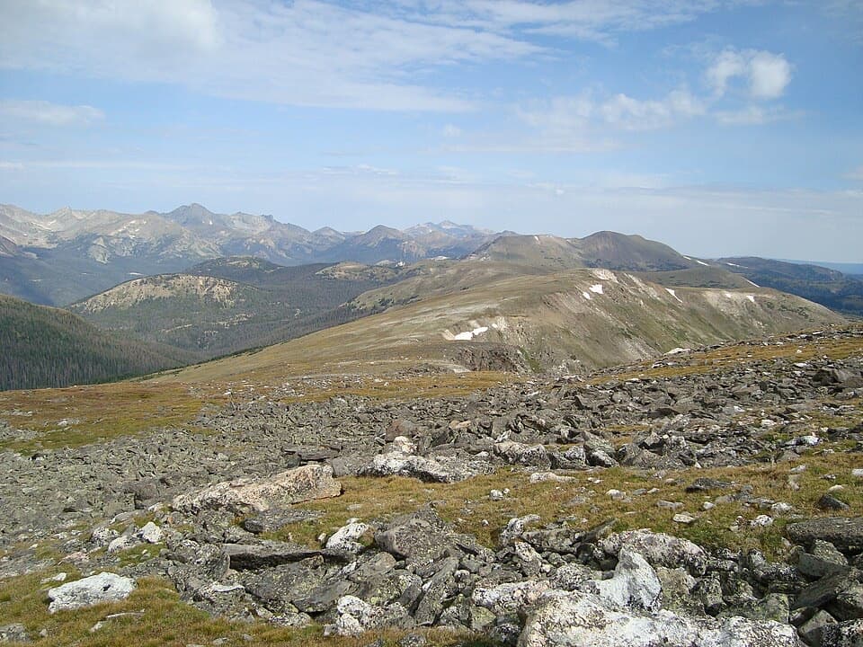
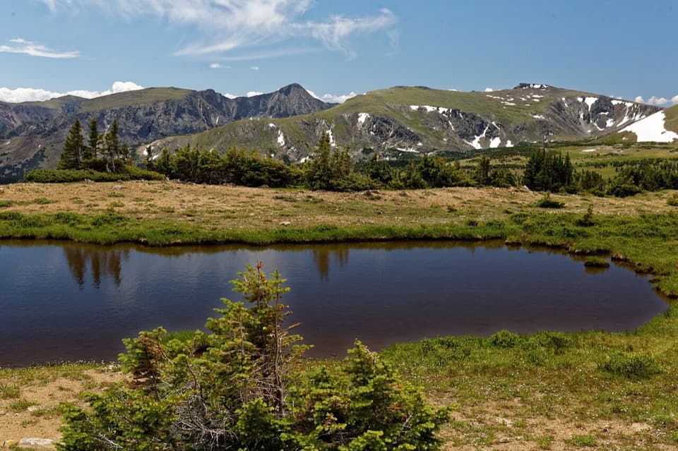
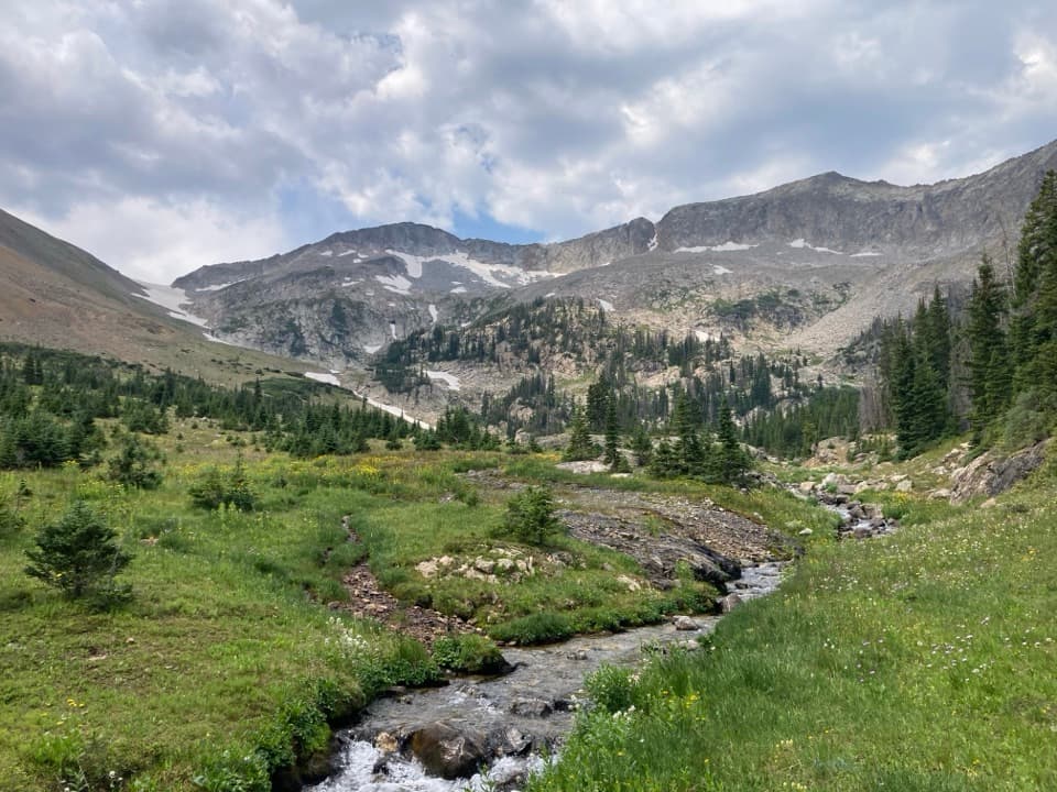
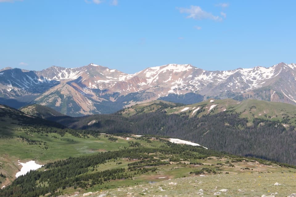
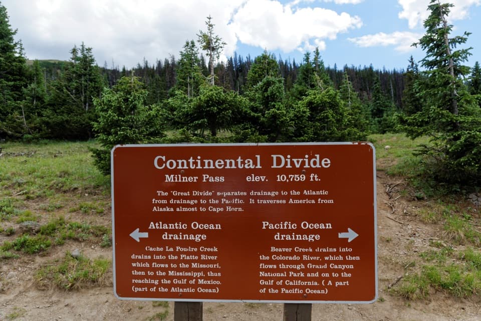
Milner Pass is a high mountain pass on Trail Ridge Road (US 34), where the road crosses the Continental Divide at 10,759 feet. The roadside stop beside Poudre Lake brings the divide marker, the lake and the alpine setting together. If you are driving the high road, it is worth stepping out to read the sign; it turns an invisible line on a map into a place you can stand.

Read the sign, then look outThe brown marker explains the split: water draining east eventually reaches the Atlantic, while…

The brown marker explains the split: water draining east eventually reaches the Atlantic, while water draining west flows toward the Pacific. Look from one side of the sign to the other, then turn toward Poudre Lake. For a photo, include the marker with some of the open slope and tree line around it so the picture shows the setting as well as the sign.

Continue on the Ute TrailThe Ute Trail starts at the pass and heads toward Alpine Visitor Center, giving you the option…

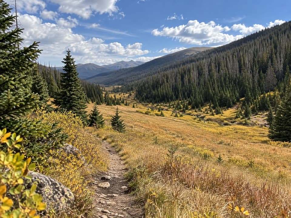
The Ute Trail starts at the pass and heads toward Alpine Visitor Center, giving you the option to walk into the high country instead of stopping at the road. The first stretch climbs, and lingering snow or ice can affect early-season hiking. Treat it as a real high-altitude walk and check conditions before setting out.

A railroad plan that never arrivedThe pass is named for T.J.

The pass is named for T.J. Milner, a railroad promoter who surveyed a route across the Continental Divide. The line was never built. Today, Trail Ridge Road carries visitors over the crossing that the proposed railroad would have used.

Plan for the elevation and roadAt 10,759 feet, altitude can catch you even during a short stop, especially if you have just…

At 10,759 feet, altitude can catch you even during a short stop, especially if you have just driven up from lower elevations. Take your time and bring water. Vault or composting toilets are listed at the roadside area. Trail Ridge Road is seasonal, and weather can change its status quickly, so check the road report before planning the drive.

Wildlife

Wildlife in Rocky Mountain

All Rocky Mountain wildlife maps

Sighting maps show where each species has been reported across Rocky Mountain. Wildlife moves, so no sighting is guaranteed.

Keep exploring

Near Milner Pass

See it all on the map

Trails nearby

More stops nearby

Parkwolf’s Rocky Mountain ranking

Top sights in Rocky Mountain

All 88 places
  1. 1Bear LakeSight
  2. 2Emerald LakeSight
  3. 3Longs PeakSight
  4. 4Sprague LakeSight
  5. 5Dream LakeSight
  6. 6Alberta FallsSight

Take Parkwolf to Rocky Mountain.

The audio tour guide for the drive, plus offline maps, trails, and wildlife heatmaps for when the signal drops.

4.7 from 8,600+ ratings

Download Parkwolf on the App StoreGet Parkwolf on Google Play