
Place · 0 mi away
Easy
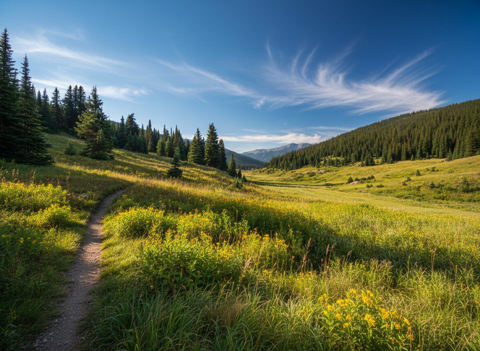
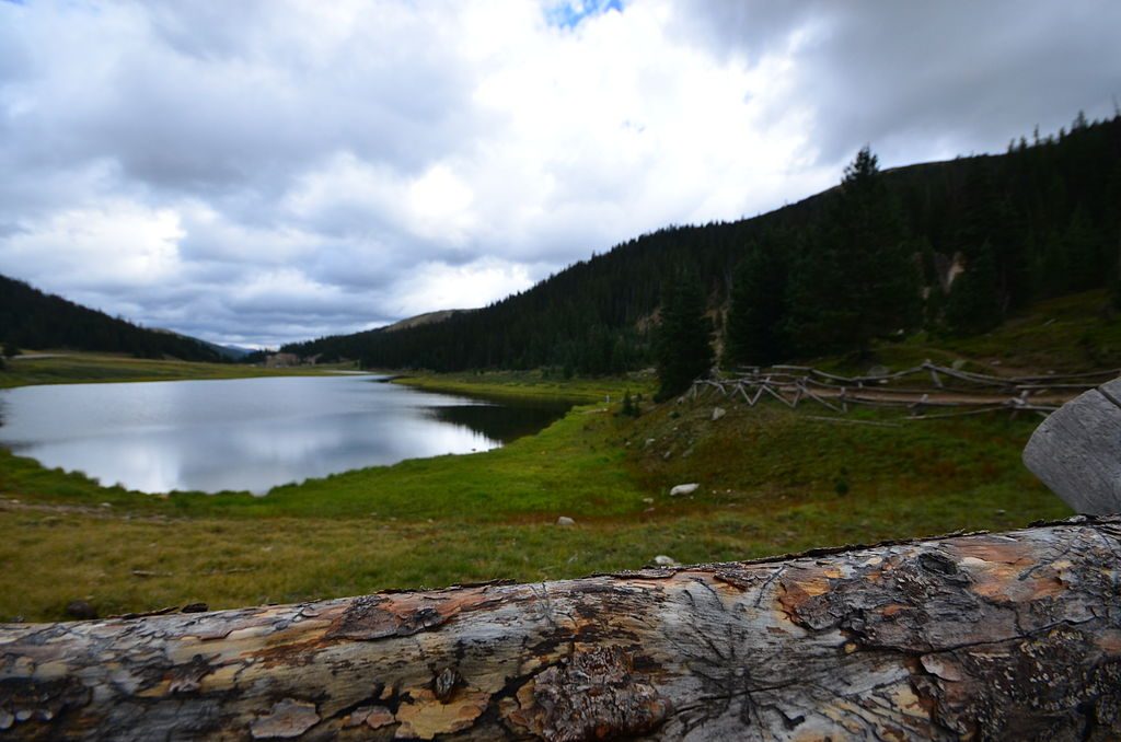
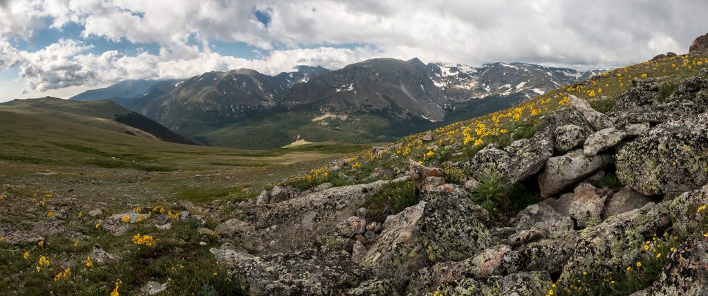
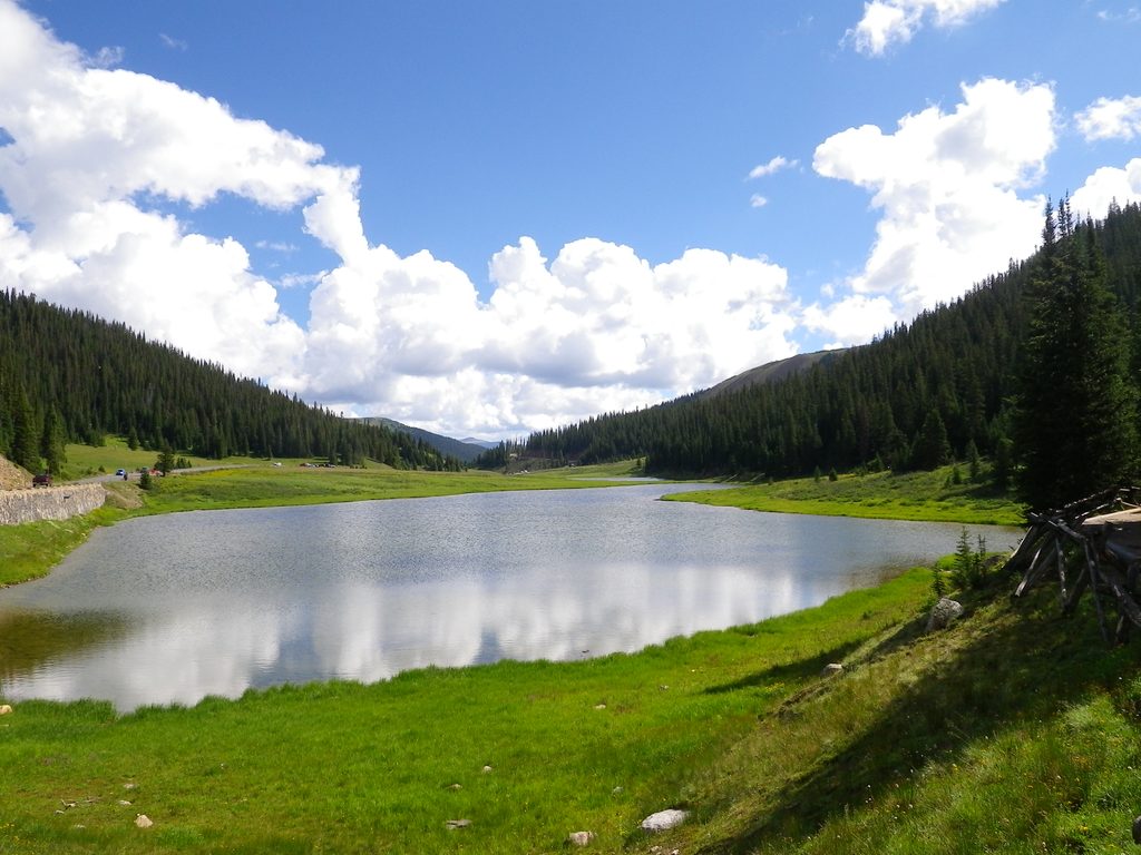
A mellow, scenic wander at the very start of the Cache la Poudre River, this out-and-back follows subalpine meadows and sparse pines with broad mountain views. It’s about 4.5 miles total (out and back) with roughly 341 feet of elevation gain—more stroll than climb, but plan for wet feet.
Expect a dirt path that meanders beside the young river through soggy, glacially shaped meadows. The tread is often muddy and, in places, faint; many hikers simply turn around when the path peters out in the grasses. On a good day you’ll get wide-open sky, the sound of riffles, and a real sense of the river’s beginnings. Elk are frequently spotted here, and the water holds trout if you’re packing a rod and following regulations.
Access is from limited pull-off parking along Trail Ridge Road near the headwaters—arrive early to snag a spot. No special hiking permit is required beyond standard park entry rules. If the tread fades or the meadows are saturated, don’t force it; this hike is about easy roaming, not a summit finish.
Mornings are ideal for calmer weather, fewer people, and softer light on the meadows. In the main summer window, the park uses timed-entry reservations during midday; you can enter before 9 a.m. or after 2 p.m. without one, and this route is outside the Bear Lake Road corridor. Weather on Trail Ridge Road changes fast—clear skies can turn to wind and storms—so bring layers and sun protection.
There’s also a long, paved Poudre River Trail on the plains near Greeley/Windsor—that’s a different experience entirely. This one is the quiet, dirt headwaters walk inside the park.
Limited pull-off parking along Trail Ridge Road near the river’s headwaters; arrive early.
Muddy, faint tread in open meadows; quick-changing alpine weather; timed-entry hours in summer; no dogs on trails.
Place · 0 mi away
Place · 0 mi away
Place · 0.1 mi away
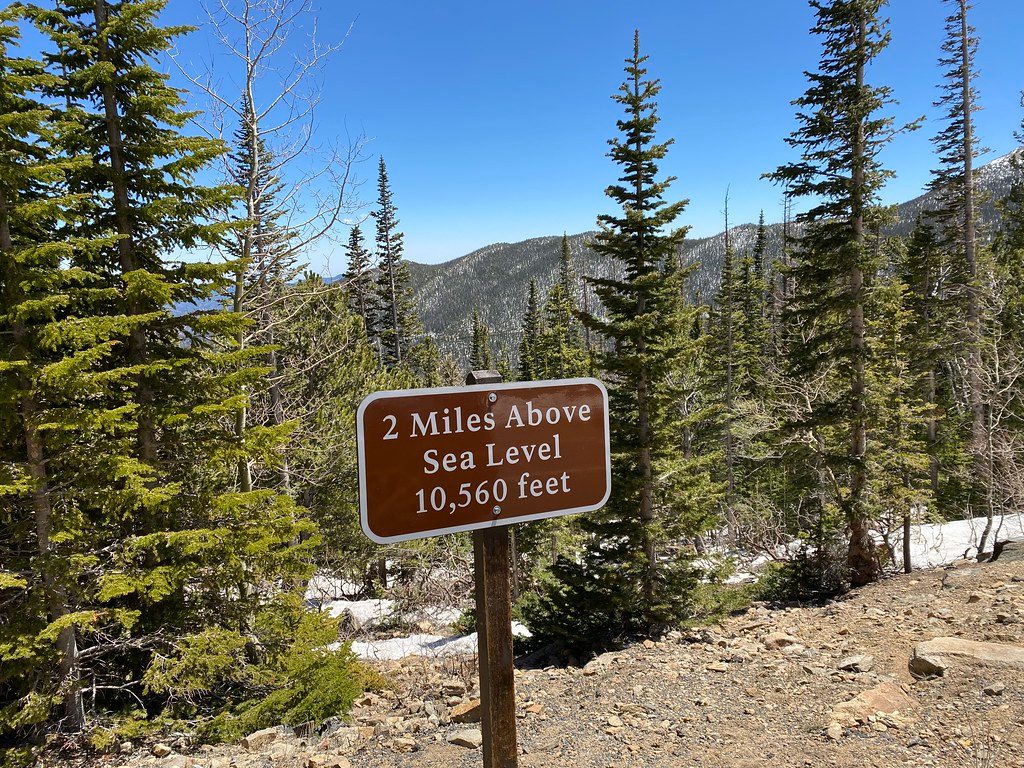
Place · 0.6 mi away
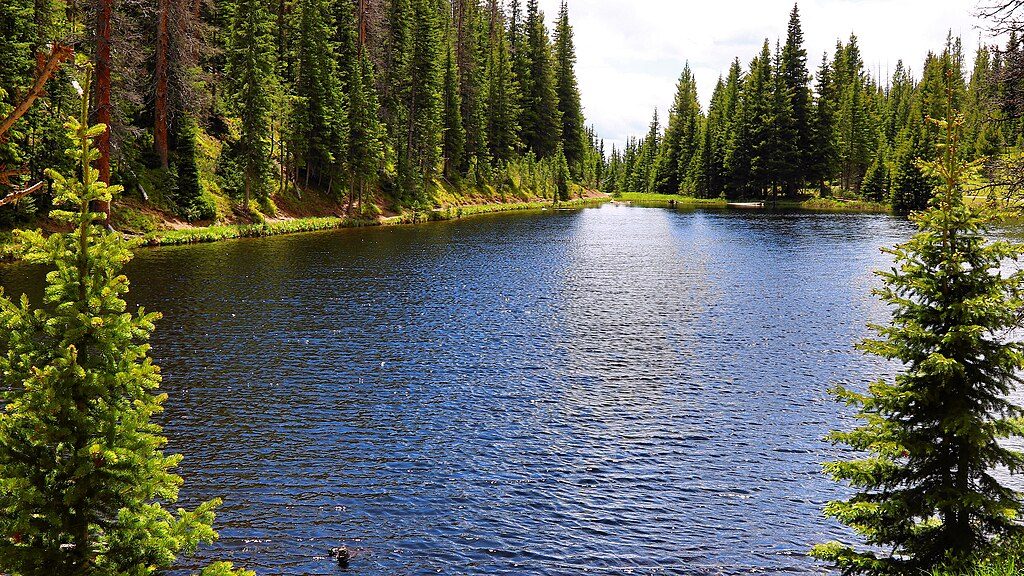
Easy · 0.6 mi away
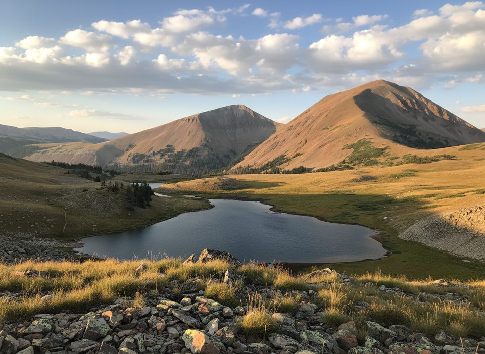
Moderate · 2.1 mi away
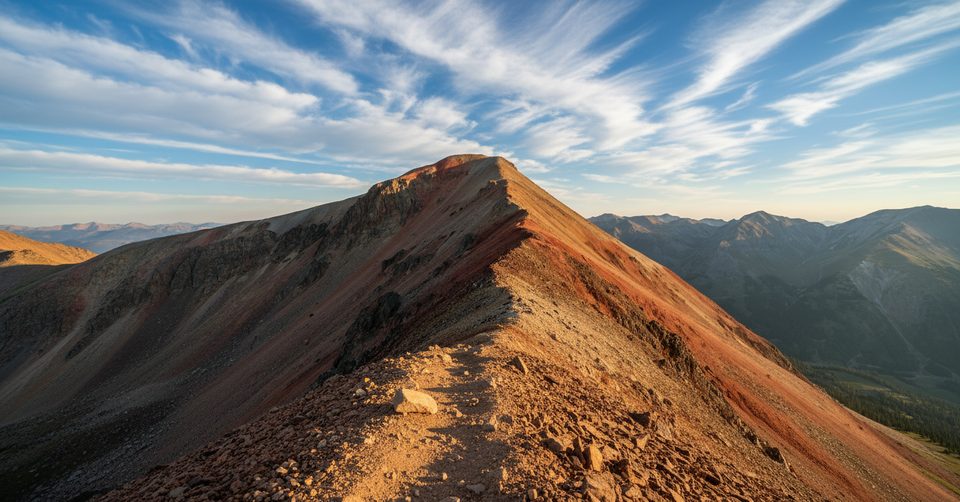
Moderate · 2.1 mi away
Easy · 2.3 mi away

Parkwolf Tour Guide
