Mount Richthofen

Loose, rewarding summit and the high point of the Never Summers
Mount Richthofen, Rocky Mountain National Park
InsideRocky Mountain National Park

Overview

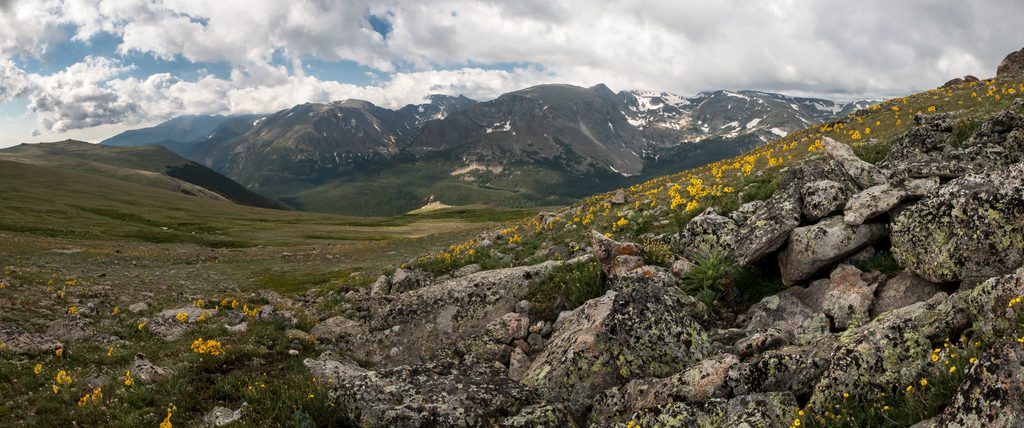
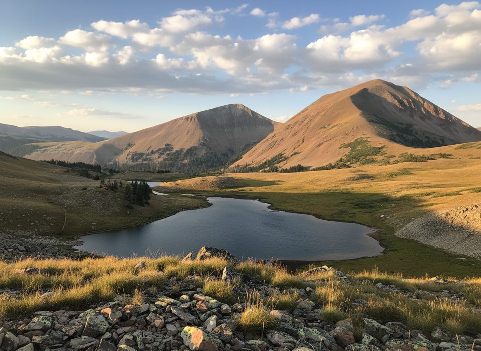
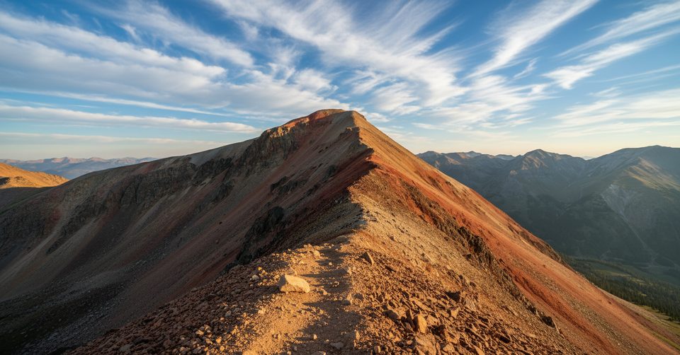
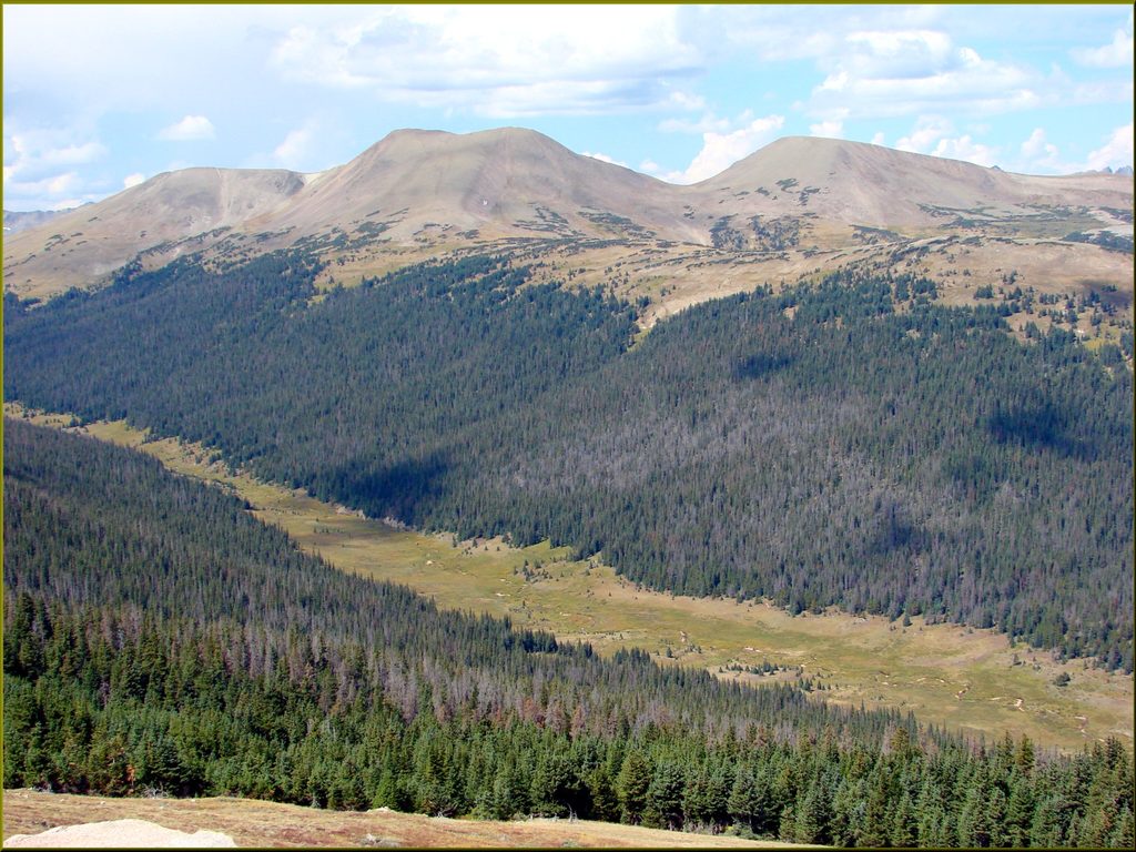
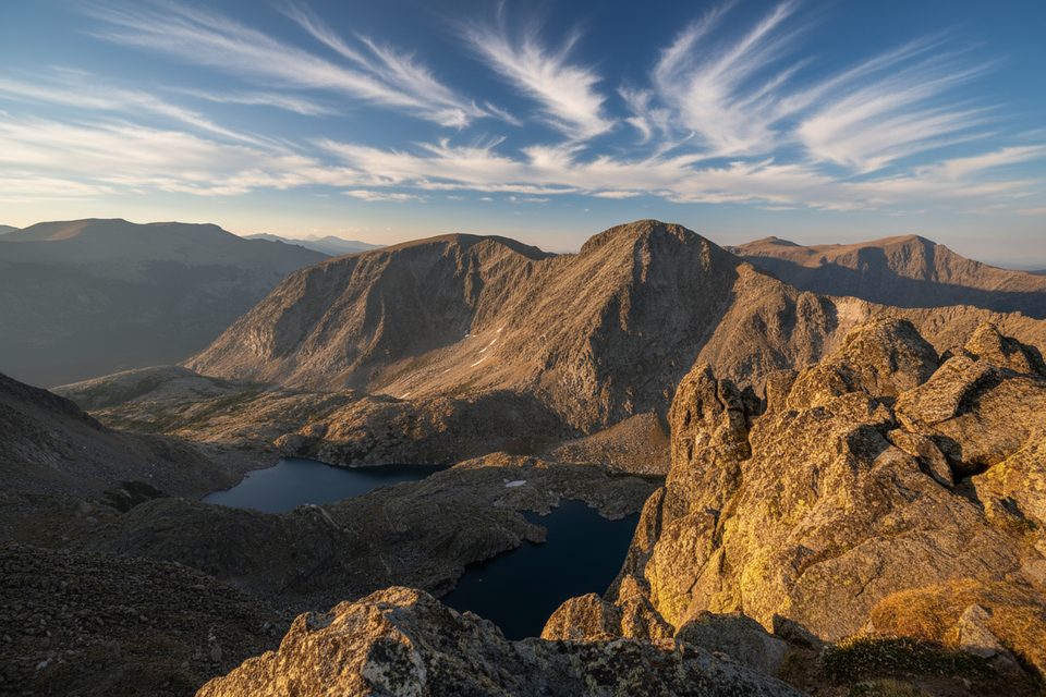
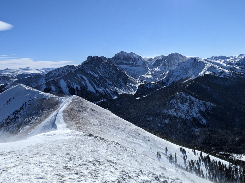
Mount Richthofen (12,940 ft) caps the Never Summer Range right on the park’s west side. It’s a real alpine outing: long approaches, off‑trail navigation, and a small, rocky summit that dishes out big views across Lake Agnes, Mount Mahler, Static Peak, Nokhu Crags, and even far‑off Medicine Bow and Park Ranges.

Routes & Difficulty

  • East side (RMNP): From the Colorado River Trailhead via Thunder Pass, plan on roughly 15.4 miles round trip and about 3,900 feet of gain. Much of the travel above ~10,400 feet is off‑trail wilderness, with mostly Class 2 terrain and a few Class 2+ moves along the summit ridge. Expect a committing ridge day with no on‑route infrastructure.
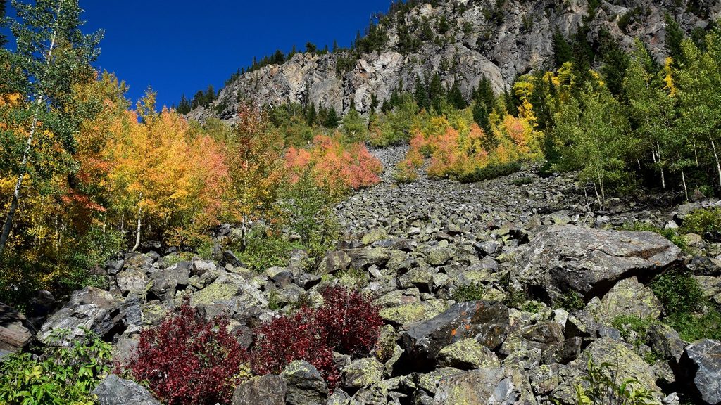
  • West side (Lake Agnes): The most direct line from State Forest State Park is shorter (~2,600–2,700 feet of gain) but spicier. There’s a good trail to Lake Agnes, then it’s all talus and boulders to the saddle and final ridge with sustained off‑trail travel and short Class 3 sections on very loose rock. Parties specifically call out the northwest face of the false summit as “very loose.”

What Makes It Special

This is the high point of a volcanic‑flavored range known for rugged talus and airy ridges. You’re likely to encounter classic alpine wildlife—bighorn sheep on the east ridge, plus moose, elk, marmots, and pikas around the lakes and tundra. On a clear day, the summit feels like a lookout over half of northern Colorado.

Logistics, Fees, Dogs

  • East (RMNP): Standard park entry applies. Dogs are not allowed on park trails. Expect only basic trailhead facilities and none on the route.
  • West (State Forest State Park): A day‑use/parking fee is required. Dogs on leash are permitted on this approach, though the loose boulders make it a tough canine outing. Facilities are minimal at the trailhead/campground area.

Water and Camping

Do not count on water once you leave the valleys. On the east route, the last reliable water is near the Grand Ditch/Skeleton Gulch area; above that, it’s dry. Designated backcountry campsites exist in the Skeleton Gulch/Grand Ditch zone (reservations required). Carry and treat your own water.

Safety & Gear

The Never Summer crest is a thunderstorm magnet in summer—start early and set a firm turnaround time. Helmets are smart for the loose Class 2/3 rock near the top; sturdy gloves help with endless talus. In shoulder seasons, snow lingers or returns quickly, so traction (and gaiters) can be useful. Load a topo/GPX and bring a map/compass—there’s no marked route above Lake Agnes.

Best Time to Visit

Late July through September offers the cleanest, driest travel. Snow often lingers into early summer and can return by October. Go on a calm, bluebird weekday, start before dawn, and aim to be off the ridge by late morning for both weather and photos. If park timed‑entry or seasonal road closures are in play, plan around them.

Pros

  • Highest summit in the Never Summer Range with huge panoramas
  • Frequent wildlife sightings (bighorn sheep, moose) along approaches

Cons

  • Loose talus and Class 2–3 scrambling near the top
  • No water or amenities on the mountain; storms are common

Tips

  • Start before dawn and aim to be off the ridge by late morning to dodge storms.
  • Bring a helmet for the loose Class 2–3 rock near the summit ridge.
  • East route: top off water near the Grand Ditch bridge; there’s none higher.
  • West route: there is no trail above Lake Agnes—expect sustained talus and route‑finding.
  • Avoid descending the north ridge toward Snow Lake; parties report it as dangerous.
The Parkwolf tour guide sitting on a phone mounted in a car

Parkwolf Tour Guide

Like a tour guide in your car.

Save the places you found around Rocky Mountain, then let Parkwolf guide the drive between them.Download Parkwolf on the App Store