
Place · 0.6 mi away
Easy
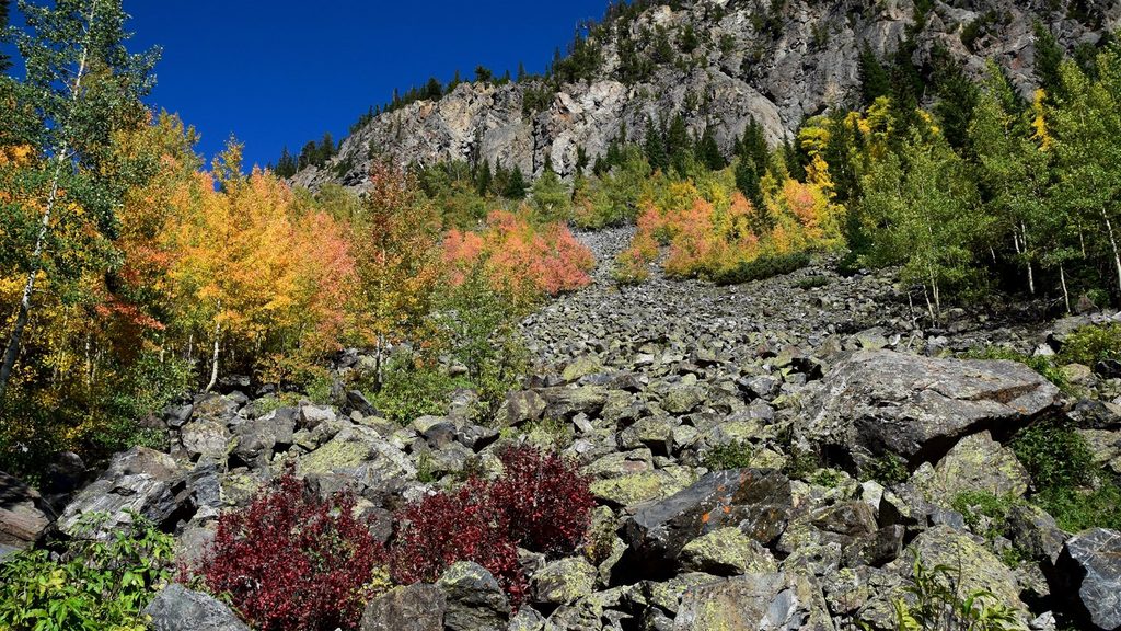
This mellow west-side stroll traces the headwaters of the Colorado through the Kawuneeche Valley. The most approachable option here is a 4.3-mile out-and-back along the river (total distance), with roughly 180 feet of gain—an easy wander with big sky meadows, cottonwood-lined banks, and a real shot at wildlife. It’s the opposite vibe of the park’s crowded east side: quieter, more meditative, and great for first-time RMNP hikers or anyone easing into altitude.
If you just want a quick taste, it’s only about 0.5 miles from the trailhead to touch the river. For a deeper outing, the historic Lulu City site sits 3.7 miles one-way; continue another mile to Little Yellowstone Canyon for a short, steep viewpoint, or push farther toward Poudre Pass. Strong hikers can link up a much bigger loop (about 13.6–14 miles) that includes Little Yellowstone, a stretch on the historic Grand Ditch Road, and the Red Mountain Trail; know that the ditch segment is flat and many find it monotonous, while Red Mountain adds steeper, narrower singletrack. Another moderate option is the 6.4-mile out-and-back up Red Mountain from the trailhead, which climbs through “Hells Hip Pocket” toward the Grand Ditch with glimpses of the Never Summer Range.
This valley was sculpted by ice—think broad U-shaped terrain, moraines, and lush riparian meadows where the Colorado is just getting started. Keep your eyes peeled for moose browsing willows, elk in the meadows, and the occasional coyote or fox ghosting the edges. History buffs will appreciate the remnants of Lulu City, a short-lived 1880s mining settlement tucked along the river.
Late spring through early fall is the sweet spot, but always check road status: access hinges on Trail Ridge Road, which typically closes from mid-October to Memorial Day. Mornings and late afternoons are best for wildlife and softer light along the water. Expect a mix of shade and sun; some fire-affected stretches can be exposed, dusty, and overgrown in summer, so plan layers, sun protection, and extra water.
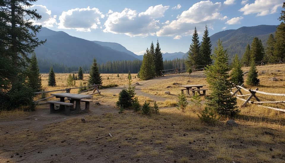
Park at the Colorado River Trailhead, about 12 miles north of Grand Lake on US 34/Trail Ridge Road. There’s a small lot and a picnic area with fire grates and vault toilets, and portable grills are allowed in the picnic area when used properly. Standard park entry fees apply. No pets on trails in RMNP—full stop. Give wildlife generous space, especially moose, and carry a reliable map (NPS maps work well here). If you’re debating the long loop, know what you’re signing up for: scenic variety, yes, but also a long, flat road segment many hikers don’t love.
Small lot at Colorado River Trailhead, ~12 miles north of Grand Lake on US 34/Trail Ridge Road; picnic tables, fire grates, and vault toilets at the trailhead; park entry fee required.
Trail Ridge Road commonly closes mid-October to Memorial Day, cutting off access; moose are common—give them ample space; some fire-affected sections can be fully exposed, dusty, and overgrown.
Place · 0.6 mi away
Place · 0.7 mi away
Place · 1.6 mi away
Place · 1.6 mi away
Moderate · 0 mi away
Moderate · 0 mi away
Easy · 1.8 mi away
Moderate · 2.2 mi away

Parkwolf Tour Guide
