
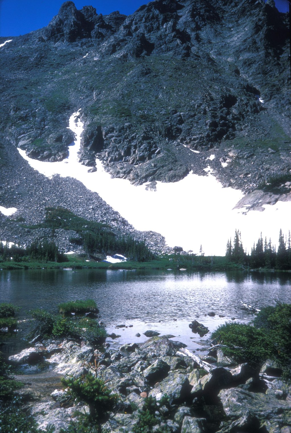
Place · 0.5 mi away
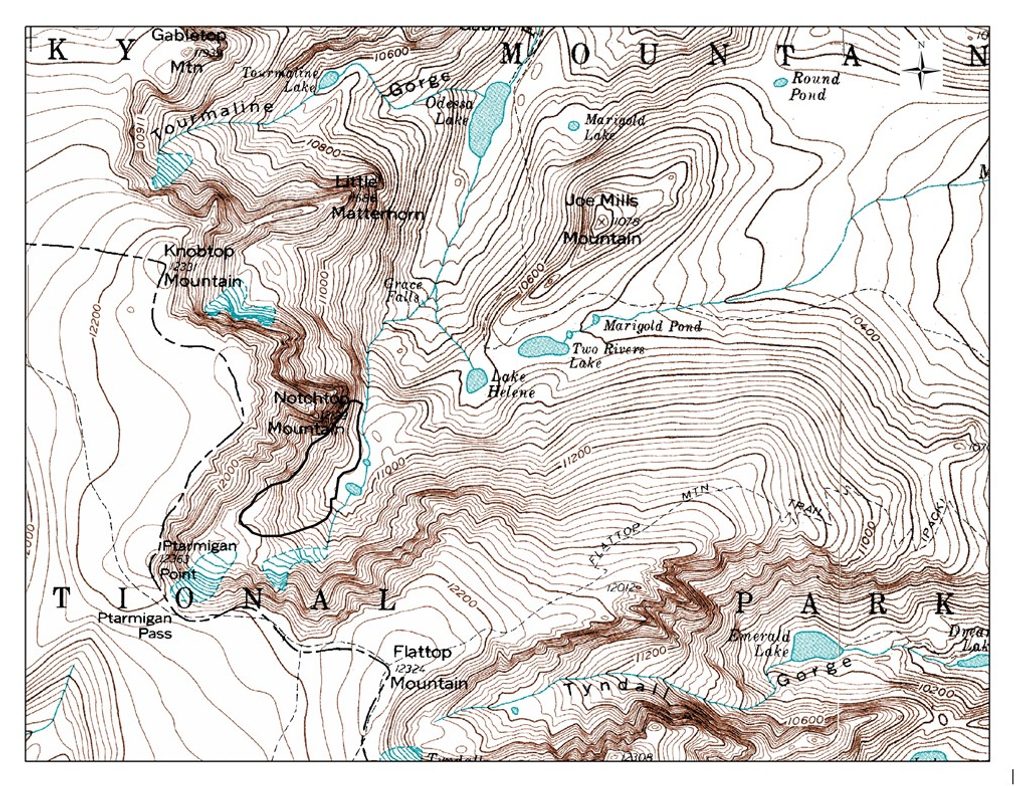
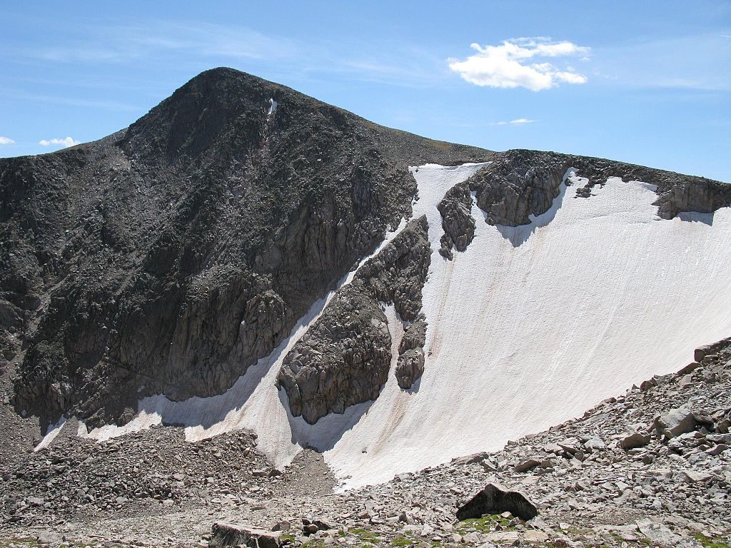
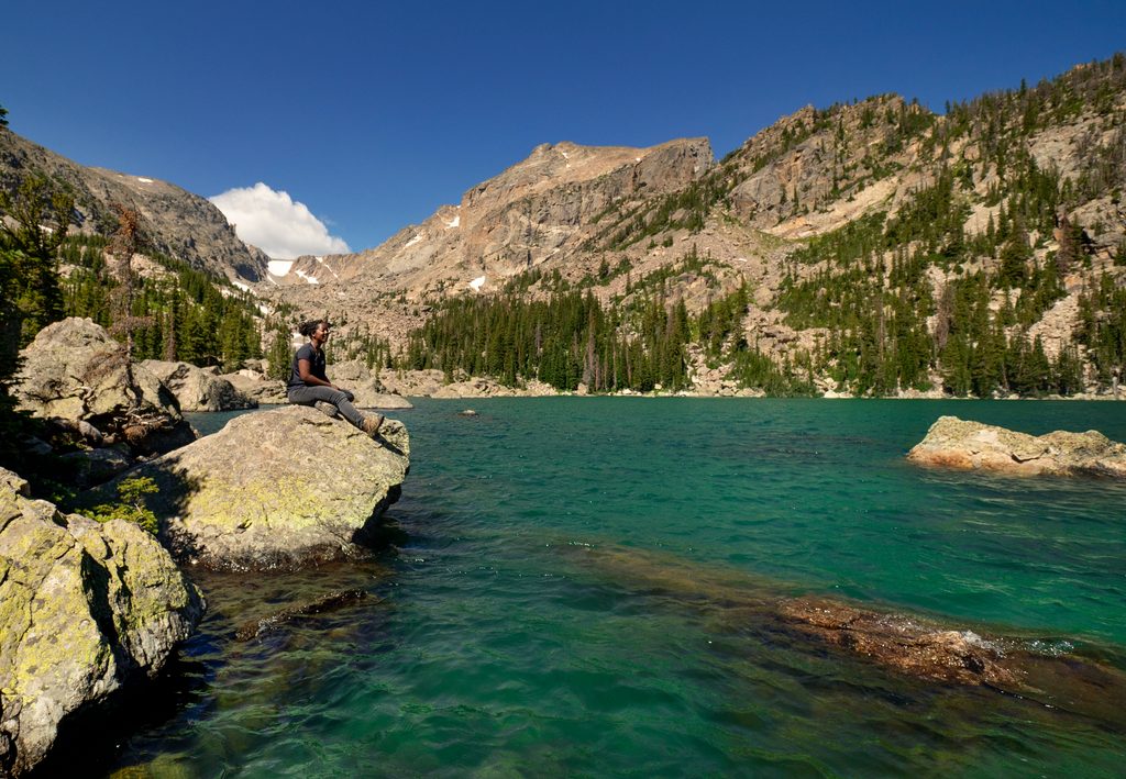
Notchtop Mountain (12,129 ft) rises steeply above Lake Helene and Two Rivers Lake and earns its name from the jagged notch carved into its summit. It’s a climber’s mountain first—steep gneiss and biotite schist make for excellent, sustained routes—and a gorgeous destination for strong hikers seeking tundra vantages that look down on the peak and its cirque.
Most parties start from the Bear Lake Trailhead at the end of Bear Lake Road, the park’s busiest corridor. From Bear Lake, take the Flattop Mountain Trail toward the high country; for climber approaches, a common line continues toward the Lake Helene area beneath Notchtop. Parking fills very early in peak season; the shuttle is often the smartest move.
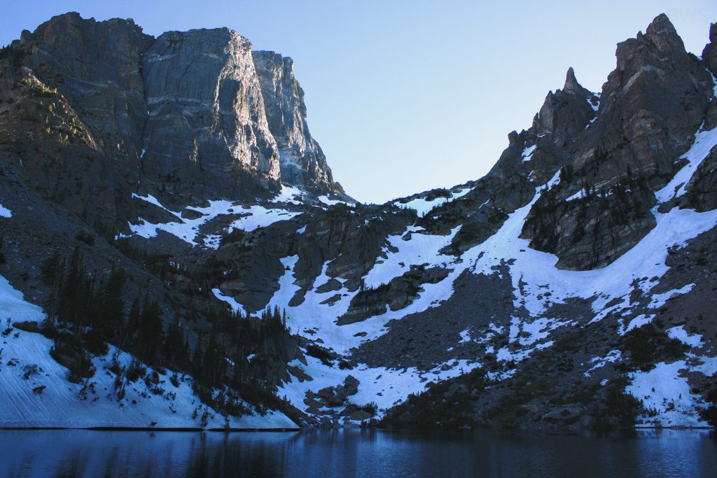
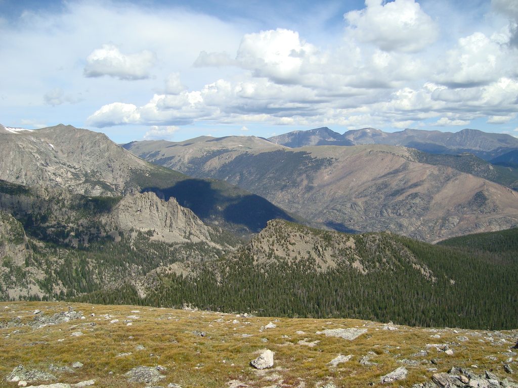
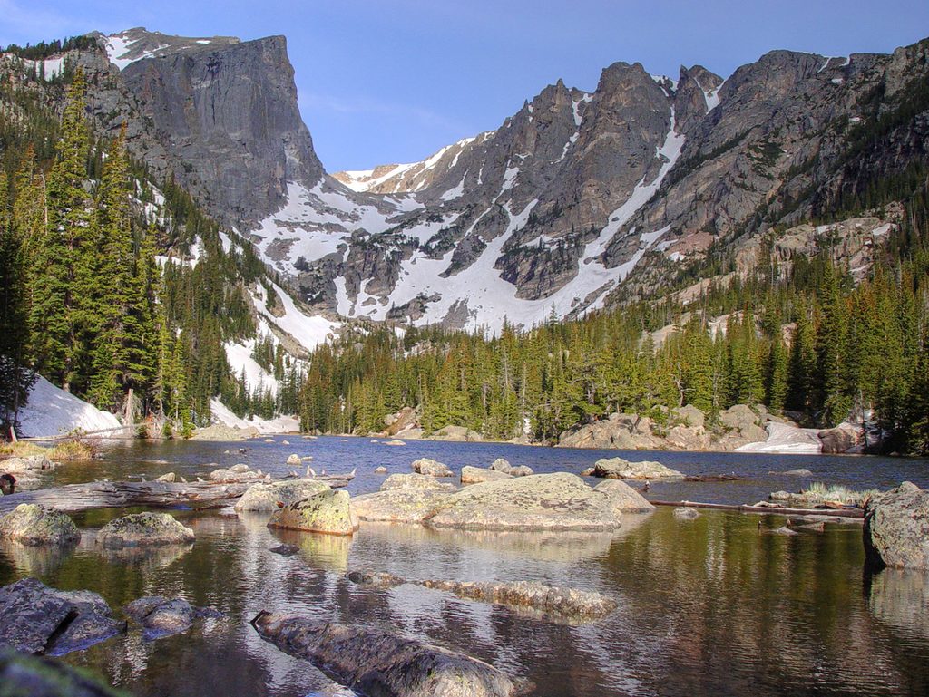
The east- and southwest-facing walls tower above Lake Helene, with sweeping views to Flattop, Ptarmigan Point, and the high Divide. Even if you’re not climbing, continuing from Flattop toward Ptarmigan Point gives a stellar tundra overlook down onto Notchtop’s dramatic cirque. Moose and marmots are occasionally spotted around the lakes—admire from a distance and give wildlife plenty of space.
This is where Notchtop shines. Standout lines include Optimismus (5.9, 3–4 pitches) on the East Face—often linked with Mornin’ to the true summit—Instant Clarification (5.9, 3–4 pitches) on the SW face (commonly used for rappels; two ropes recommended), and the South Ridge (5.9, 5–8 pitches). Typical descents are the 4th-class West Gully or rappels down Instant Clarification. Fit, dialed parties often stage with a wilderness technical climbing bivouac permit near the base to maximize a weather window and daylight.
Reaching the true summit without ropes isn’t realistic for most; the easiest described summit line includes Class 4 terrain. For a rewarding non-technical day, hike to the tundra west of Flattop and over toward Ptarmigan Point for big views of Notchtop’s walls and the Helene basin. Expect around 11.5 miles round trip and roughly 2,800–3,000 feet of gain if you go for those higher overlooks.
Notchtop’s steep, durable faces come from the park’s crystalline core—gneiss and biotite schist—sculpted by ice into cirques that now hold lakes like Helene and Two Rivers. It’s textbook alpine architecture: tough bedrock, then glaciers doing the fine chiseling.
Late June through August usually offers the cleanest rock and dry approaches. Snow can linger well into early summer around Lake Helene, complicating route-finding. In winter, the approaches are serious and avalanche-prone. Regardless of season, start early: the route is long, weather shifts fast above treeline, and afternoon thunderstorms are common.
Place · 0.5 mi away
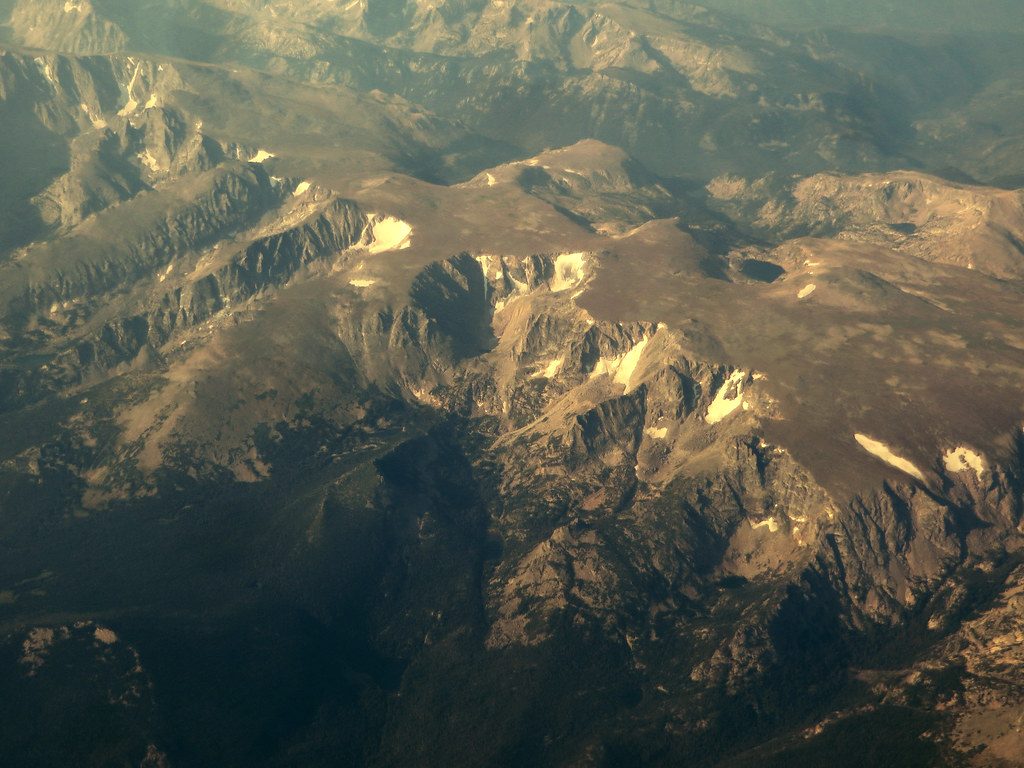
Place · 0.7 mi away
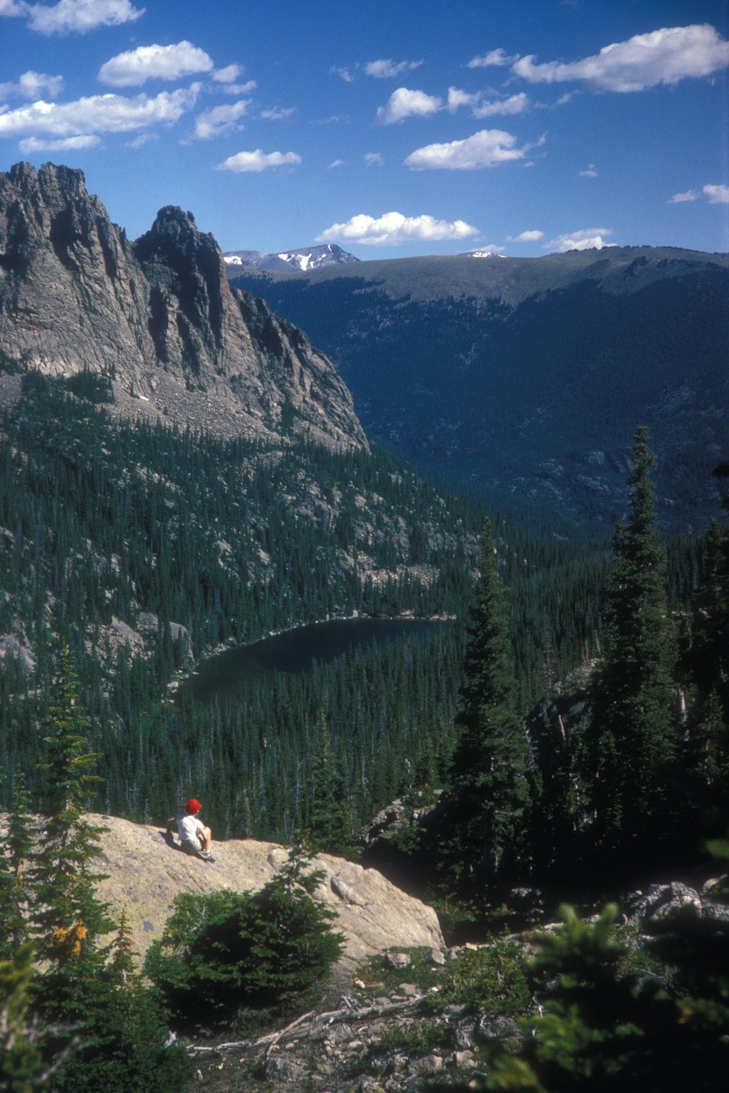
Place · 0.9 mi away
Place · 1 mi away
Moderate · 2.6 mi away
Challenging · 2.6 mi away
Easy · 2.6 mi away
Moderate · 2.6 mi away

Parkwolf Tour Guide
