
Place · 0 mi away
Moderate
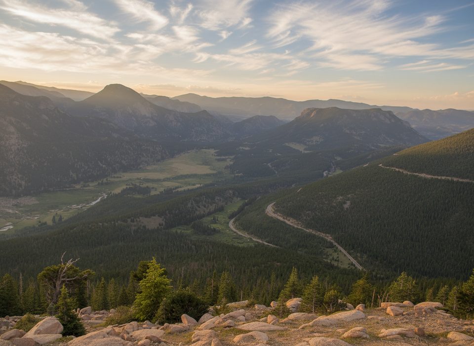
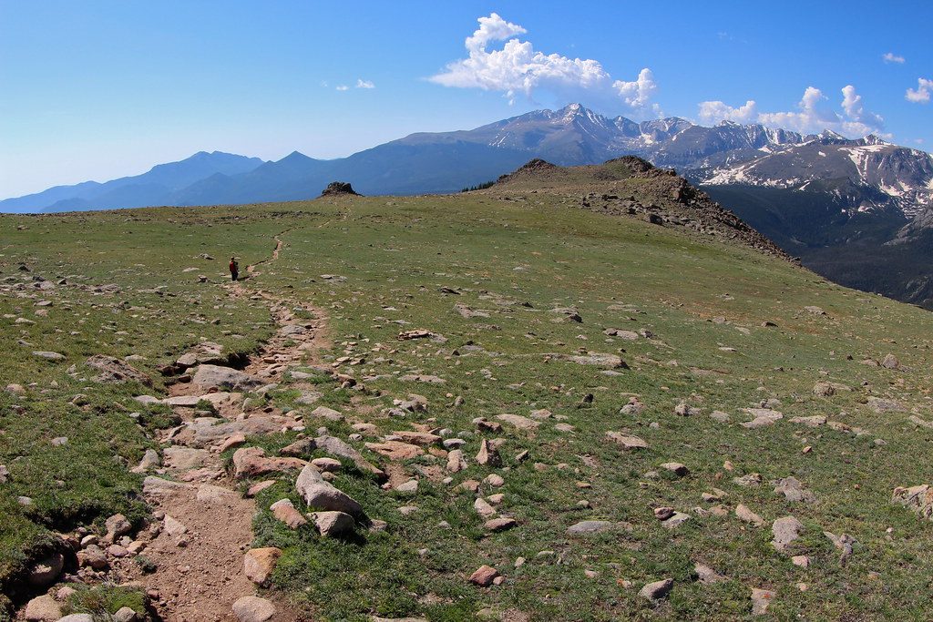
A mellow, view-packed loop from Upper Beaver Meadows that earns its keep with constant Longs Peak scenery, open montane meadows, and a short spur to a panoramic rock outcrop. The classic loop is about 4.6 miles total with roughly 810 feet of gain—moderate, but forgiving by Rocky Mountain standards. It’s a great first-day hike to acclimate while still feeling like you got into the mountains.
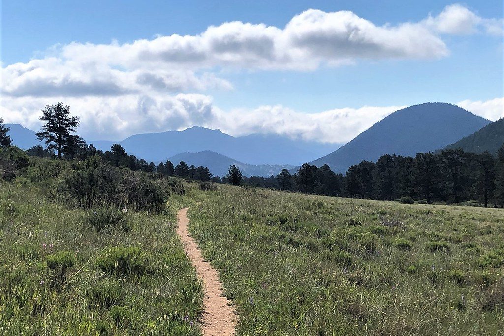
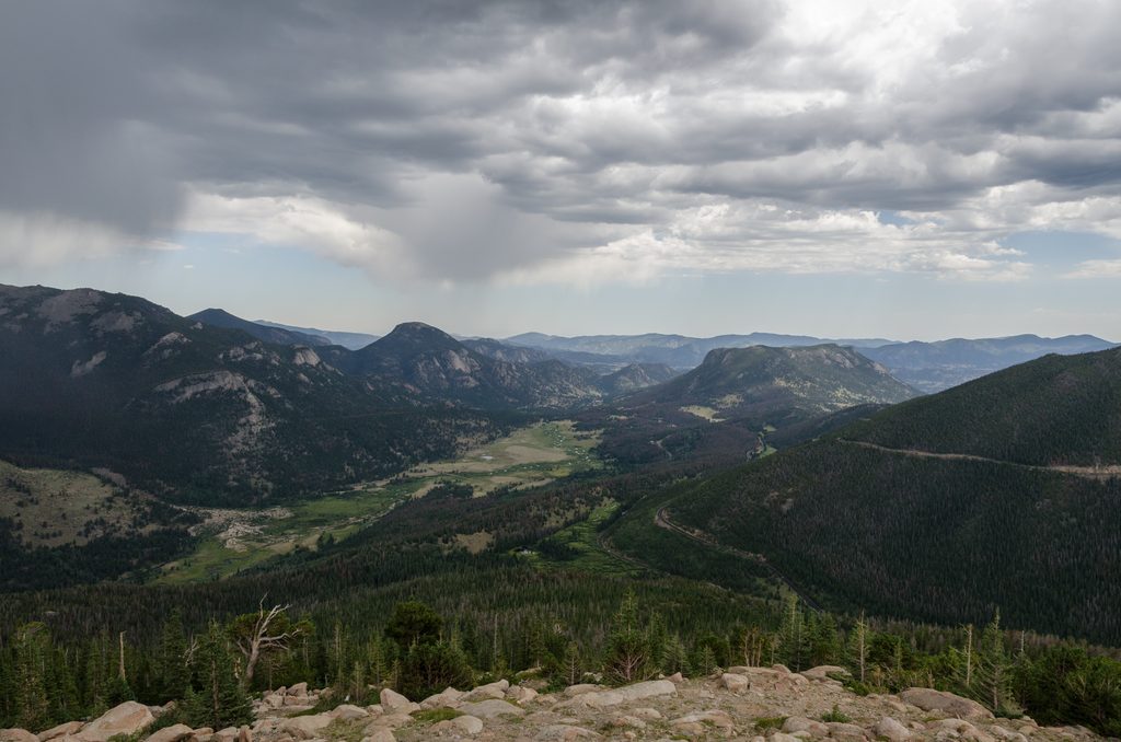
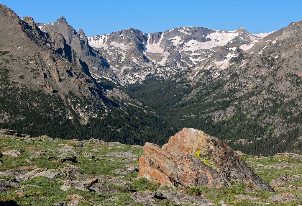
Expect a mix of broad, sunny meadows and cooler, forested slopes on the flanks of Beaver Mountain. Elk and deer are commonly spotted, along with chipmunks and marmots, and you’ll hear plenty of birds. Parts of the loop pass through areas affected by the 2020 East Troublesome Fire, which means more sun exposure but also wider sightlines toward Longs Peak and the Moraine Park valley. A short, can’t‑miss spur leads to a rocky outcrop with big, satisfying views.
Start at Upper Beaver Meadows Trailhead and loop the lower slopes of Beaver Mountain before returning through the meadows. Going counterclockwise puts the steeper, more sun‑exposed/burned side earlier; clockwise gives you shade on the ascent and sun on the descent. Portions of the route are shared with horse tours—step aside for stock and expect some churned or rutted sections. Conditions can be muddy in shoulder seasons, and early spring often brings patchy snow.
Late spring through early fall (roughly May–September) is prime. Start early for cooler temps, soft morning light on Longs Peak, and better wildlife viewing. Afternoon thunderstorms are common in summer—plan to be off high, exposed ground by early afternoon. In spring and fall, snow and ice can linger, especially on shaded slopes; traction or snowshoes may be needed depending on the day.
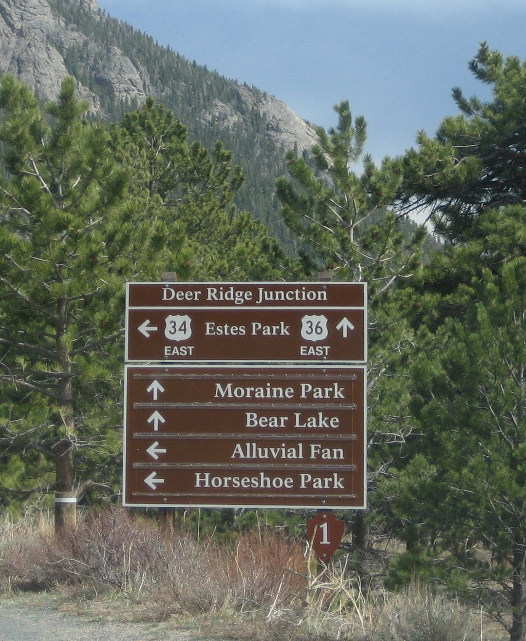
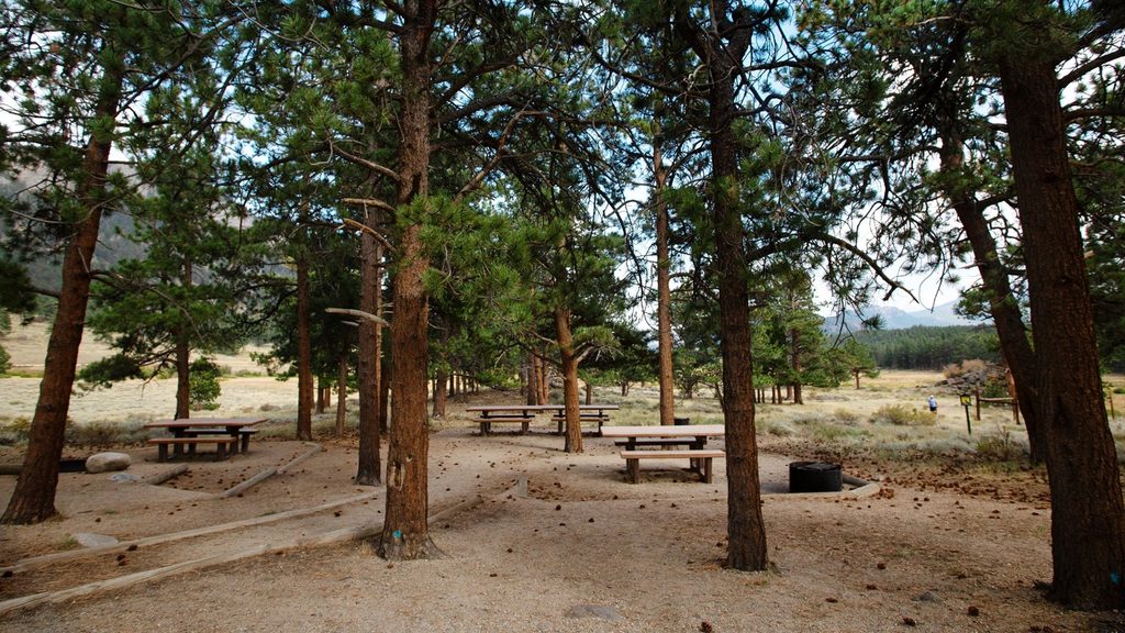
Park at the end of Upper Beaver Meadows Road for the trailhead; restrooms are reported at or near the area but aren’t guaranteed year‑round. During summer, timed entry reservations are required during certain hours to access the park—secure those in advance. No dogs are allowed on trails here. If you want a sampler instead of the full loop, there’s a shorter variant around 2.2 miles with similar views. Strong hikers looking to stretch the day can link from Deer Ridge Junction for a much longer outing, but expect seasonal snow and navigation challenges in shoulder season.
High‑country weather changes fast—carry layers, sun protection, and extra water, and keep an eye on building clouds. The burned segments are hot and exposed; plan accordingly. Stay on trail even when muddy to protect fragile meadows, and give wildlife plenty of space. Ticks exist—do a quick check after hiking.
Park at Upper Beaver Meadows Trailhead at the end of Upper Beaver Meadows Road (left at the first switchback after entering via Beaver Meadows). Restrooms reported at/near the trailhead.
Sun‑exposed burn areas, afternoon thunderstorms, and spring/fall snow or ice; altitude and occasional horse traffic. Timed entry required in summer hours.
Place · 0 mi away
Place · 1 mi away
Place · 1.3 mi away
Place · 1.4 mi away
Moderate · 0 mi away
Moderate · 0 mi away
Moderate · 0 mi away
Moderate · 1.5 mi away

Parkwolf Tour Guide
