
Place · 0 mi away
Moderate
This is a moderate out-and-back to a compact, photogenic waterfall in the Lumpy Ridge corner of the park. Expect about 6.2 miles total (round trip) with roughly 1,000 feet of gain, topping out below 9,000 feet—great for acclimating. The first miles cruise through open meadows with big-sky views, summer wildflowers, and frequent elk sightings. The second half tucks into forest along Cow Creek, where you’ll pass small cascades before a short, steep finale to the falls.
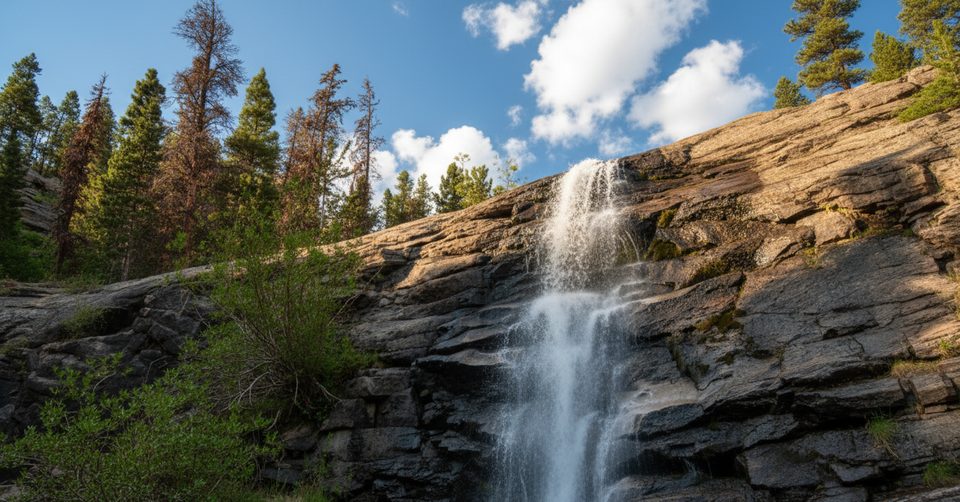
Bridal Veil Falls itself drops around 20 feet over broad granite slabs—the namesake “veil” effect is best when flow is higher. It’s a rewarding destination, but the last bit is no casual stroll: you’ll climb rock steps and slabby granite, which can be slick when wet.
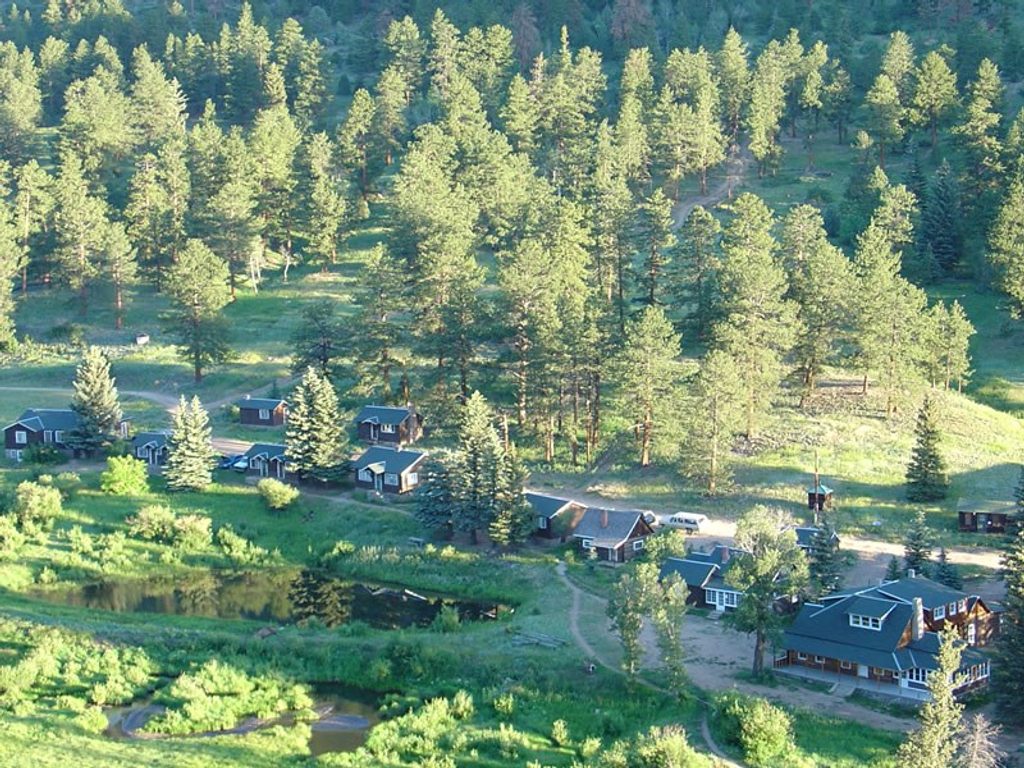
Start from the Cow Creek Trailhead by McGraw Ranch. Walk through the historic ranch area on easy track that narrows to singletrack as you follow Cow Creek through meadows. Around 1.2 miles, pass a junction toward Balanced Rock/Gem Lake—continue straight. Near 1.9–2.0 miles, meet the Dark Mountain Trail; turn right toward Bridal Veil Falls as the grade and rockiness increase and the route hugs the creek.
At roughly 2.9–3.1 miles, you’ll reach a horse hitching post and a small cascade. This is the tricky spot: skip the tempting left spur toward the creek; instead, stay right and head up the steep rock steps and slabs to reach the main falls.
Late spring into early summer is prime for water volume, though snowmelt can mean mud and tricky, wet rock near the falls. Fall brings aspen color without the slop. In winter, this lower-elevation route is a popular snowshoe when conditions allow. Crowds are typically lighter than the park’s marquee corridors, but the small lot still rewards an early start.
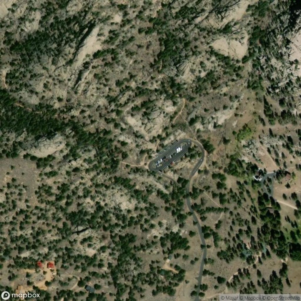
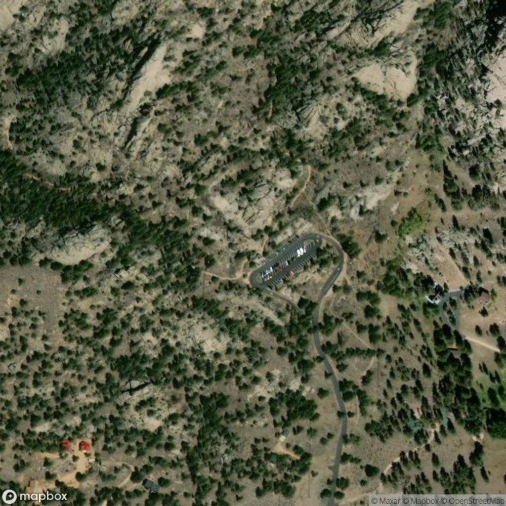
Park at the small Cow Creek Trailhead lot via McGraw Ranch Road (off Devils Gulch Road). Space is limited—arrive early. Walk through McGraw Ranch to the signed trail; vault toilets are just past the ranch.
Steep, slick granite on the final approach; avoid the false left spur near the hitching post and stay right up the slabs. Expect muddy, higher water during snowmelt. Limited cell service—download offline maps.
Place · 0 mi away
Place · 2.1 mi away
Place · 2.2 mi away
Place · 2.2 mi away
Moderate · 0 mi away
Challenging · 0 mi away
Challenging · 2.5 mi away
Moderate · 2.5 mi away

Parkwolf Tour Guide
