
Place · 0 mi away
Moderate
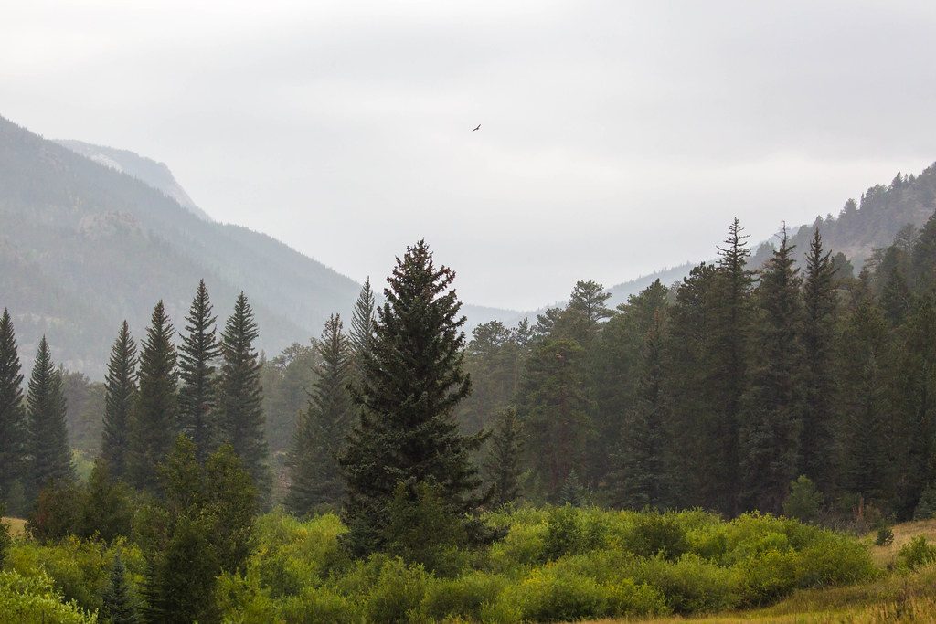
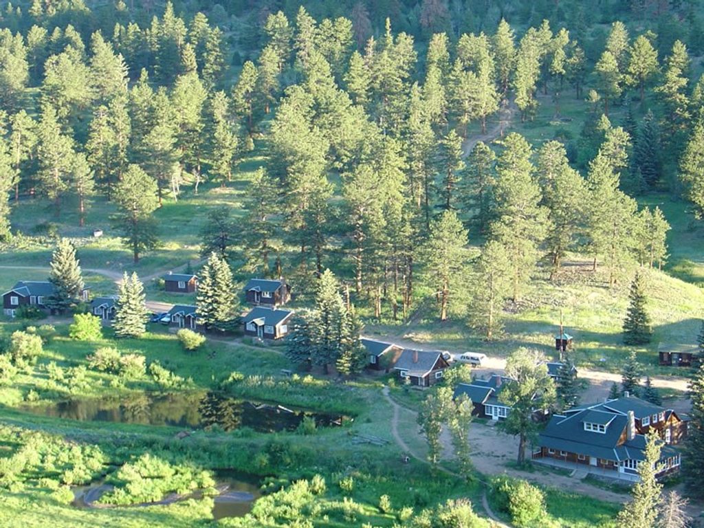
Cow Creek is the quieter, lower-elevation corner of Rocky Mountain National Park. From the historic McGraw Ranch, the trail follows its namesake creek through open meadows and mixed aspen–pine forest, with elk often grazing the flats and the sound of water nearby. Most hikers use this corridor to reach Bridal Veil Falls or Balanced Rock. The stats here reflect the Balanced Rock option via Cow Creek (about 7.4 miles total, out-and-back, with roughly 1,335 feet of gain and an average moving time around 3.5 hours). If you prefer a waterfall finish, Bridal Veil Falls is roughly 6.1 miles total with about 1,000 feet of gain.
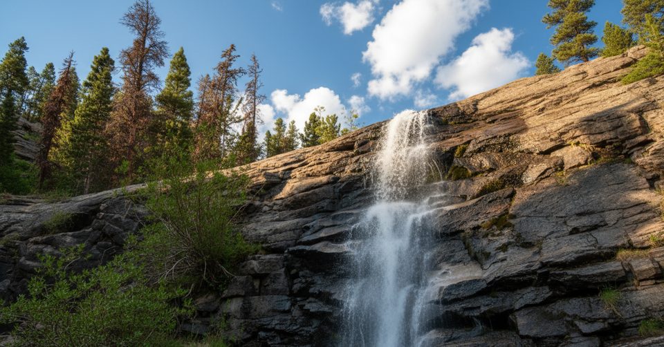
Expect an easy start across meadowland, then pleasant creekside singletrack with occasional small cascades. The forest alternates between airy aspen and denser conifer, and you’ll pass junctions that link into the Lumpy Ridge network (Gem Lake and Balanced Rock). Approaching Bridal Veil Falls, the last stretch steepens and turns rocky, culminating in a short, hands-needed granite scramble beyond a horse hitching post. Near Balanced Rock, grades also kick up, and shaded spots can hold lingering snow or ice when other trails are dry.
Overall, this is a moderate outing. The meadows are easy, but you’ll encounter some steeper pitches, creek crossings, and—in cool seasons—icy patches where traction helps. The final approach to Bridal Veil Falls is the crux for many: slick granite when wet, a few false side paths, and exposure near drop-offs. Turn around if footing feels sketchy. Wildlife is part of the appeal (elk, deer, turkeys, small mammals), though this is also bear and mountain lion country; sightings are uncommon but always give wildlife space.
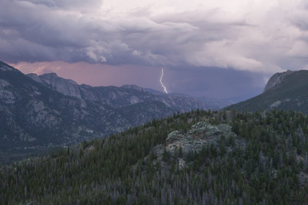
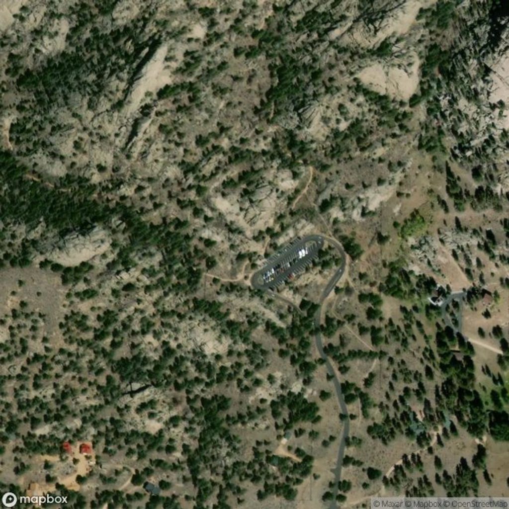
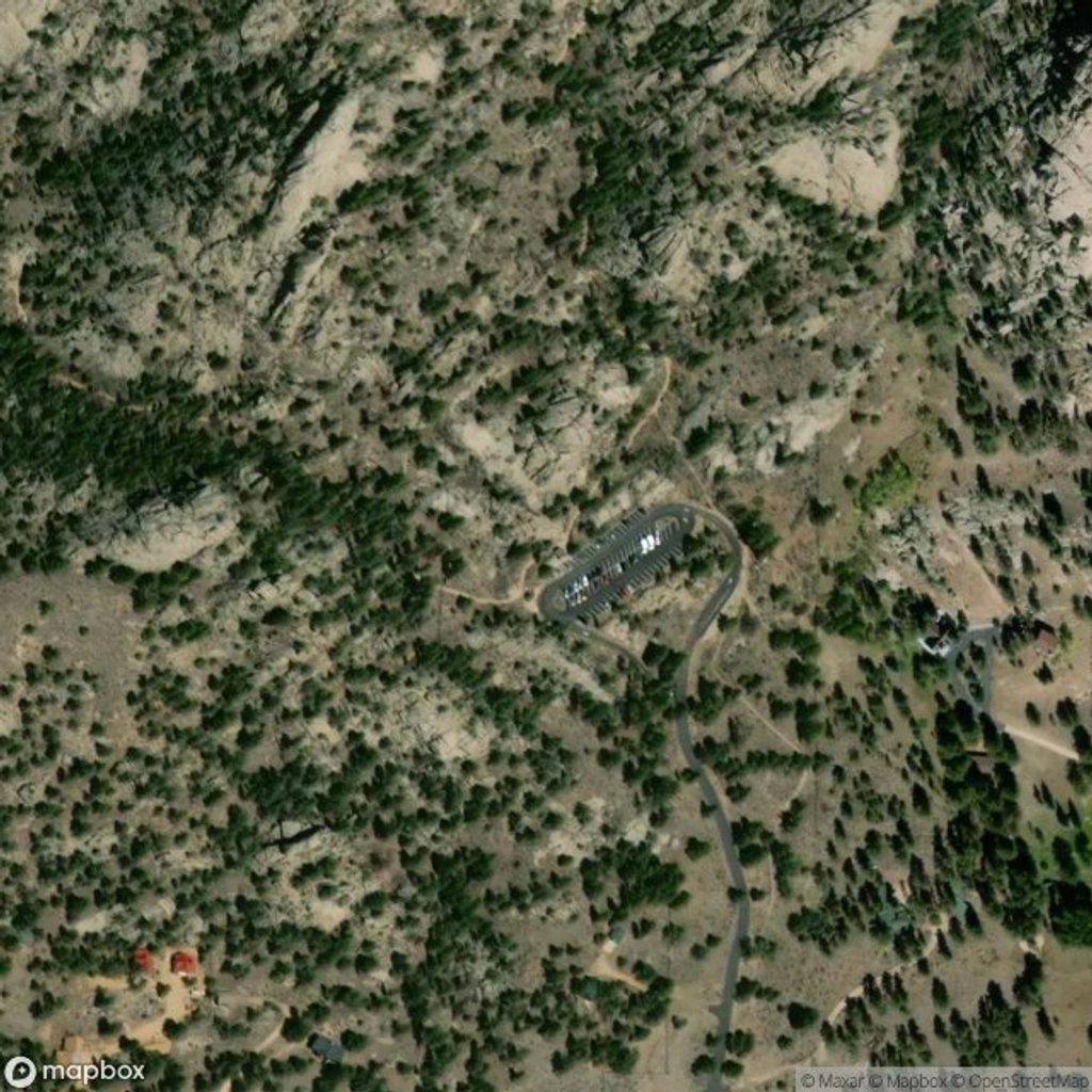
Trailhead parking sits at McGraw Ranch, a restored historic site turned research center. It’s a dirt road approach and the lot is tiny; arrive very early or late in the day and never park along the road or in private drives. Cell service is spotty to nonexistent. Some reports note a bathroom near the trailhead, but don’t count on water. No camping at the trailhead. Early starts also help you avoid summer thunderstorms—meadow sections are exposed and lightning is a real risk.
Because the corridor stays below 9,000 feet, Cow Creek shines in spring and fall and can be a good winter shoulder-season option when higher trails are snowbound. In summer, beat storms and crowds with a dawn start; the meadows look great in early light, and you’ll have better odds at parking. After rain, expect slick granite near the falls.
Hikers who like varied terrain, flowing water, and options—waterfall, rock formations, or a bigger Lumpy Ridge link-up—without the Bear Lake bustle. If you dislike short scrambles, you can still enjoy the meadows-and-creek portion and turn around before the final approach to the falls.
Start at McGraw Ranch via Devils Gulch Road, then McGraw Ranch Road (dirt). Lot is tiny and fills very early; do not park on the road or in private driveways. Cell service is poor; plan rendezvous times in advance. Some listings note a bathroom near the trailhead; no drinking water.
Exposed meadows make summer lightning a serious hazard—start early. The final approach to Bridal Veil Falls is a steep, slick granite scramble with false side paths; turn around if unsure. Shaded sections can hold snow/ice year-round—carry traction when conditions warrant.
Place · 0 mi away
Place · 2.1 mi away
Place · 2.2 mi away
Place · 2.2 mi away
Moderate · 0 mi away
Challenging · 0 mi away
Challenging · 2.5 mi away
Moderate · 2.5 mi away

Parkwolf Tour Guide
