
Place · 0.5 mi away
Challenging
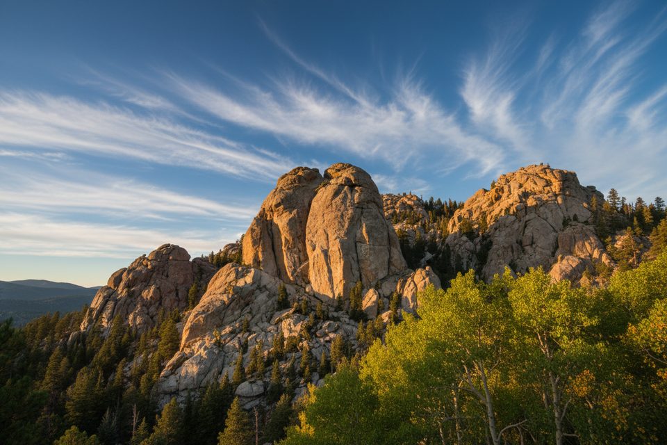
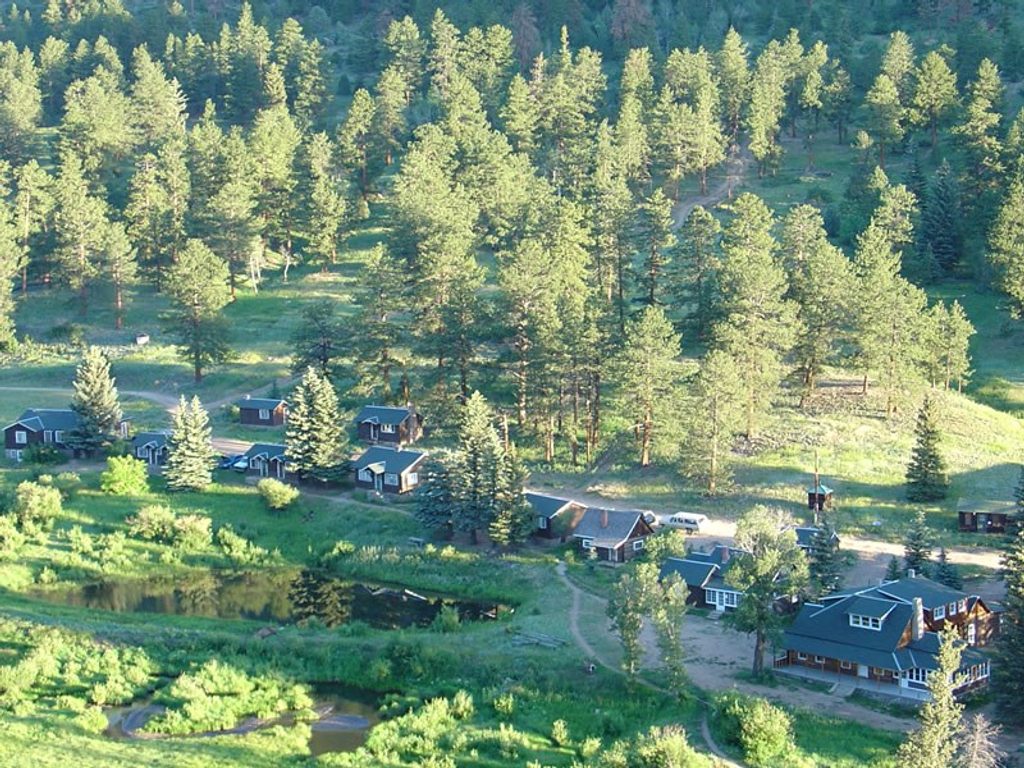
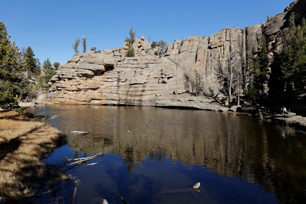
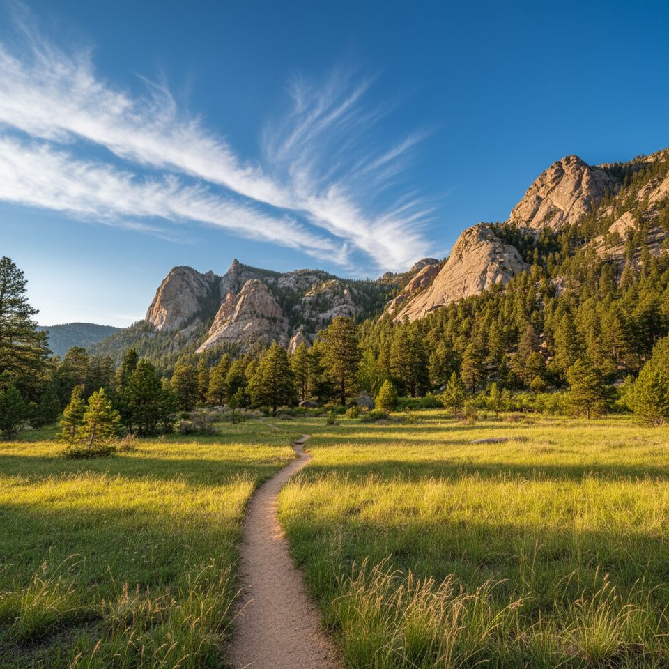
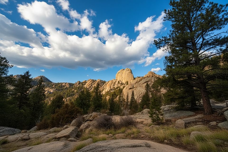
A full-value tour of Rocky’s granite playground, the Lumpy Ridge Loop is a strenuous 11-mile total loop with about 2,475 feet of gain. Expect constant variety: historic ranch meadows, shady forest, cliffy granite formations, and wide-open views to Longs Peak and the Continental Divide. It’s a long day with a punchy climb near the end, but the payoff is big and the crowds thin out once you’re away from Gem Lake.
Start from Lumpy Ridge Trailhead north of Estes Park. Many hikers prefer clockwise for golden morning light on Longs and the Divide; counter-clockwise can delay Gem Lake traffic until later. Clockwise: climb briefly, then at 0.7 mi turn left on Black Canyon through the MacGregor Ranch valley—prime for spring wildflowers and fall aspens. Around 3 mi and 6.4 mi, expect short flood-washout detours marked by cairns. At ~3.9 mi, turn right at Dark Mountain to continue the loop; go straight at the Cow Creek junction (~5.6 mi). At ~6.4 mi, turn right onto the Gem Lake Trail and grind through a series of steep, sometimes “false summit” steps. Just over 8 mi, pass the spur to Balanced Rock (optional add-on; often treated as a side trip). Around 9.25 mi you’ll reach Gem Lake, then descend historic rock steps with big looks over Estes Park, Mt. Meeker, Longs Peak, and the Divide. Pass Paul Bunyan’s Boot (~9.6 mi), then at ~10.5 mi veer left at the Black Canyon junction for the final half mile back.
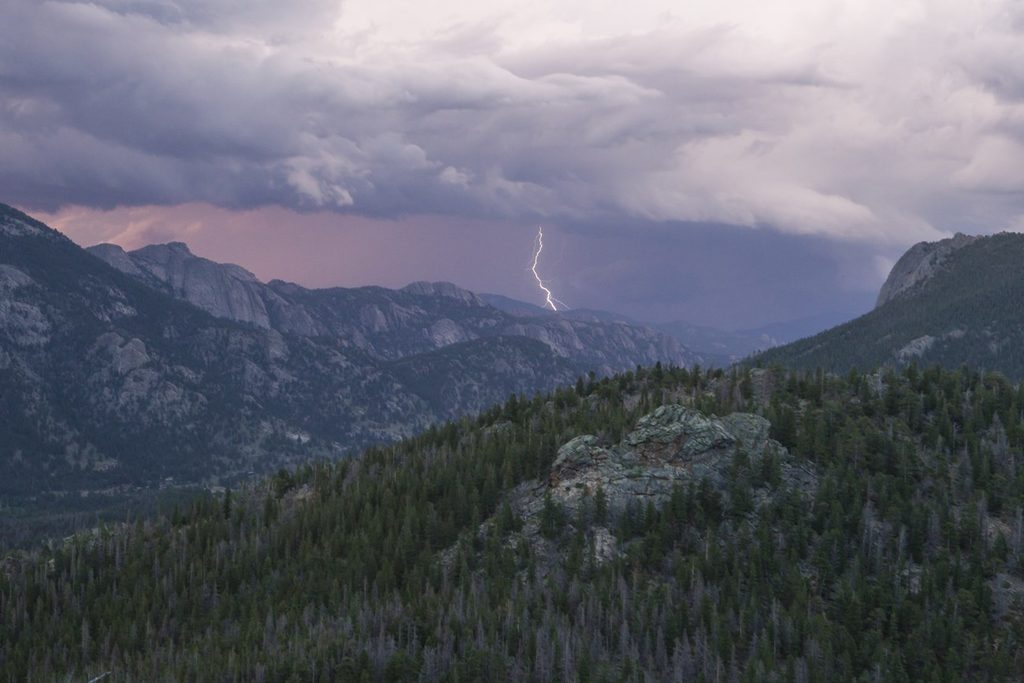
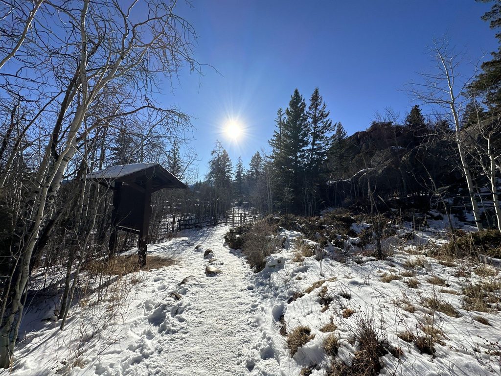
Lumpy Ridge sits lower than much of the park, so it’s often a good shoulder-season or winter choice, but trails can be icy—microspikes are smart in cold months. Summer brings hotter temps and quick-building afternoon thunderstorms across many exposed sections. Some climbing areas close roughly March–July for nesting raptors; closures mainly impact climbers, not the main hiking loop, but obey any posted signs.
The trailhead is popular with both hikers and climbers, so parking fills early. Crowds cluster around Gem Lake. If you want a quieter day and cooler temps, start at dawn, go clockwise, and enjoy the emptier ranch and canyon miles before meeting the masses near the end.
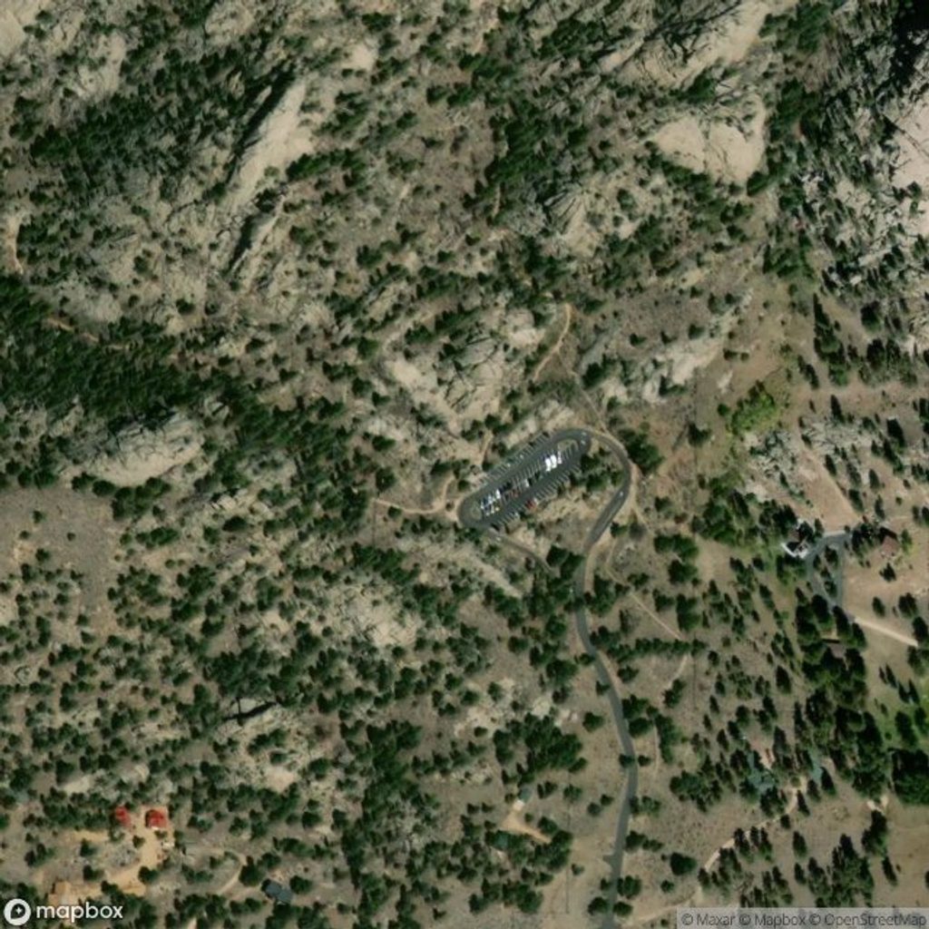
Park at Lumpy Ridge Trailhead north of Estes Park. From Wonderview Ave and MacGregor Ave, drive 1.2 miles north; MacGregor becomes Devils Gulch Road just before the signed access road. Lot fills early and is not served by a park shuttle.
Expect steep rock steps, exposed sections, and fast-building summer storms; bring poles, sun protection, and extra water. Trails can be icy in winter—carry microspikes. Watch for cairn-marked reroutes from 2013 flood washouts and obey seasonal raptor-closure signs. Cell service is unreliable.
Place · 0.5 mi away
Place · 1.4 mi away
Place · 1.4 mi away
Place · 2.5 mi away
Moderate · 0 mi away
Moderate · 0 mi away
Challenging · 0 mi away
Moderate · 0 mi away

Parkwolf Tour Guide
