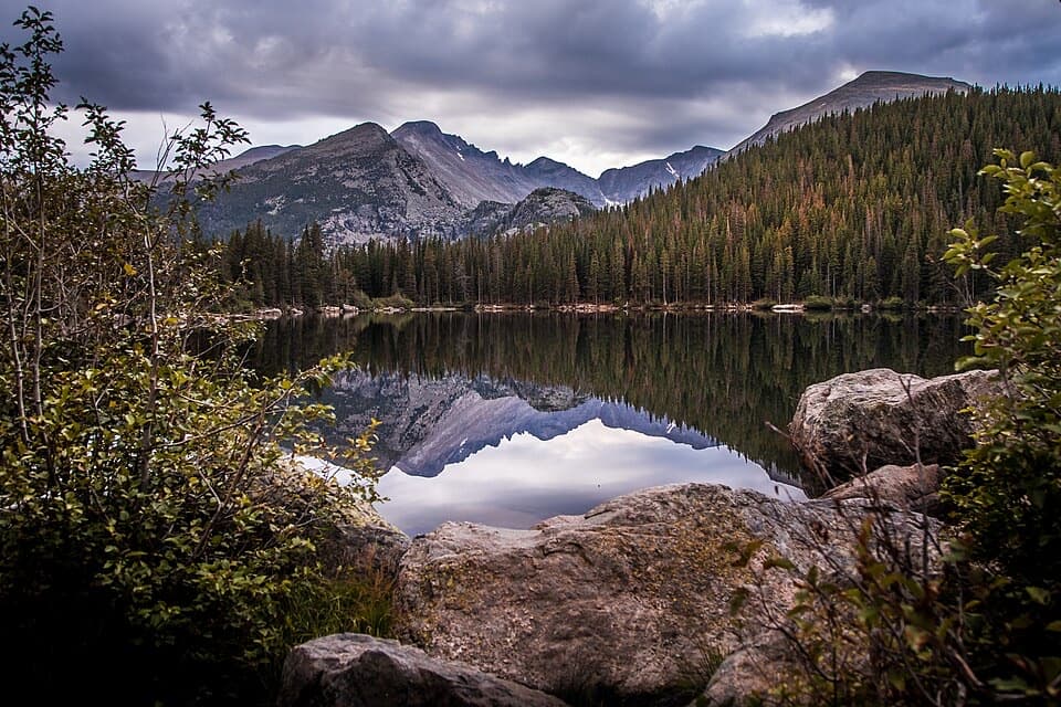
Parking
Use the McGraw Ranch/Cow Creek Trailhead lot off Devils Gulch Road. It is first-come, holds 15 passenger vehicles, and has no separate parking fee.

Rocky Mountain National Park, CO
A hard ridge traverse opens to views of the Mummy Range.
Overview
Map & elevation
Plan your hike

The highest, rockiest slopes around here are a summer buffet for grizzly bears.
Rocky Mountain Tour Guide
Parkwolf is a GPS audio tour guide for Rocky Mountain National Park. As you drive, it chimes in with what’s ahead: hidden gems, upcoming stops, history, geology, and wildlife, right through your car’s speakers.
See the Rocky Mountain audio tourRecorded for this trailhead
Cow Creek: The Hike to Bridal Veil Falls“Up ahead is Cow Creek Trailhead, the start of a half-day hike to Bridal Veil Falls. Allow about four hours for six point two miles round trip and roughly a thousand feet of climbing.”
Plays as you drive up to this trailhead in the Parkwolf Rocky Mountain Tour Guide.
More stories near here in the app
“…No cell service for majority of the day but had continuous access to the app - the maps, the tour guide as you drive is amazing. Highly recommend purchasing the subscription.”


Trail guide
North Boundary Trail is a 5.9-mile one-way traverse from the McGraw Ranch/Cow Creek Trailhead to the North Fork Trail junction beside the North Fork Big Thompson River. It starts with a short westward connector on Cow Creek Trail before turning north. This is not a loop, and the far junction has no road access. Allow about five to six hours for this leg; it gains roughly 2,555 feet and loses about 1,163 feet. Plan your return or an onward backcountry route before setting out; retracing the line makes an approximately 11.8-mile day. A separate West Creek Falls walk from the same trailhead is about five miles round trip and uses only part of North Boundary.
The route climbs from ponderosa pine into aspen and spruce, then steepens in a narrow gulch beneath granite domes. At the divide between Cow Creek and West Creek, the ridge opens to views north and south. Tight switchbacks descend toward West Creek; after crossing it, you reach the West Creek Falls Trail junction. The falls hike is a shorter, separate objective rather than the full North Boundary traverse.
Past the falls junction, rocky openings bring the Mummy Range into view. The hardest sustained stretch climbs nearly 1,300 feet in about 1.5 miles toward a narrow crest, with valley views along the way. An open meadow with wildflowers and a tall pine makes a strong foreground for the Mummy Range. The trail then drops through mixed pine, crosses an unnamed creek, and reaches the North Fork junction.
The McGraw Ranch/Cow Creek lot is off Devils Gulch Road, first-come, and limited to 15 passenger vehicles; there is no separate parking fee. In the West Creek Research Natural Area, daytime foot travel is allowed but discouraged; overnight stays and pack animals are prohibited there. Pets are prohibited on all park trails. This is a strenuous, high-elevation backcountry route, so the distant junction and return plan matter as much as the mileage.
Wildlife
 3,124 sightingsElkMost seen around 6 PMSighting map
 1,601 sightingsMooseMost seen around 7 PMSighting map
 19 sightingsMountain GoatMost seen around 7 AMSighting map
 19 sightingsBald EagleMost seen around 8 AMSighting map
 30 sightingsGolden EagleMost seen around 10 AMSighting map
 270 sightingsBighorn SheepMost seen around 11 AMSighting map
Sighting maps show where each species has been reported across Rocky Mountain. Wildlife moves, so no sighting is guaranteed.
Keep exploring
 ModerateWest Creek Falls Trail4.4 mi · 3.5 hr · At the trailheadA steep ridge walk ends at two cascades in a rocky gorge.
 ChallengingHusted Trail11 mi · 8.5 hr · At the trailheadA historic West Creek track with a long approach and fading tread.
 ModerateBridal Veil Falls Trail6.2 mi · 4 hr · At the trailheadA 6.2-mile round trip from meadows to a rocky waterfall
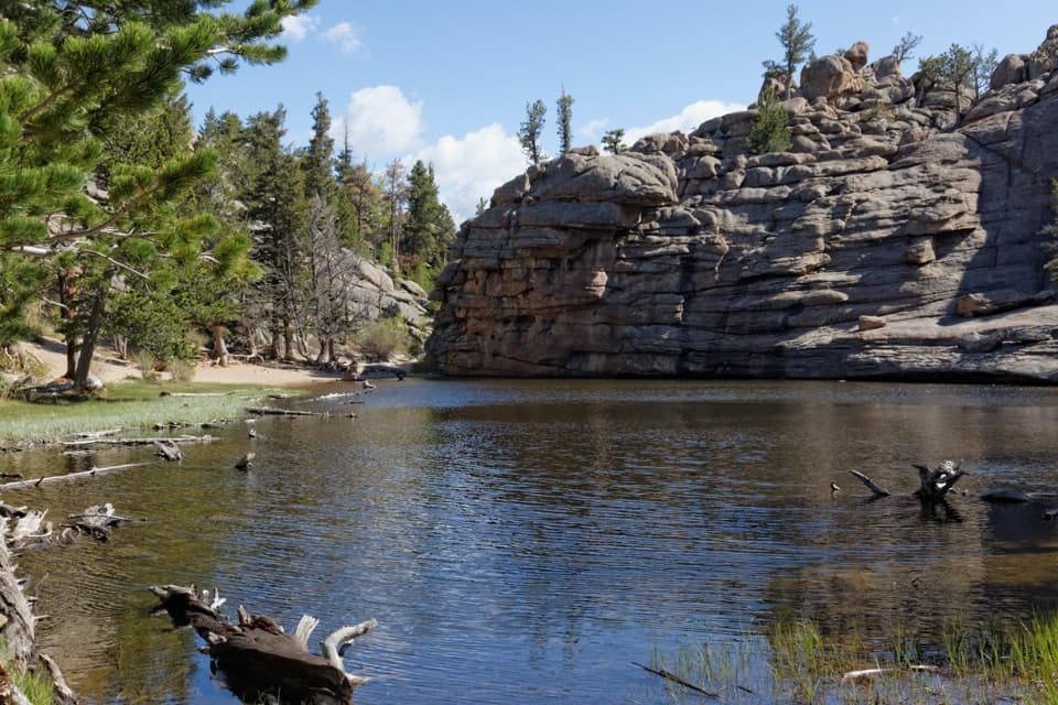 ChallengingLumpy Ridge Loop10.6 mi · 7 hr · 2.5 mi awayA full day around Lumpy Ridge, from ranch meadows to Gem Lake.ModerateBalanced Rock Trail7.3 mi · 4.5 hr · 2.5 mi awayA steep Gem Lake climb, then Balanced Rock and Estes Park views.ModerateGem Lake Trail3.2 mi · 2.5 hr · 2.5 mi awayRock steps climb to a small lake tucked beneath granite walls.
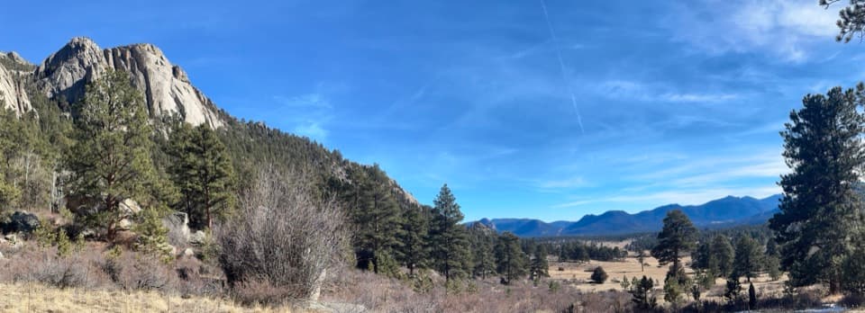 ModerateBlack Canyon Trail4.2 mi · 2.5 hr · 2.5 mi awayA 4.2-mile out-and-back beneath Twin Owls and Lumpy Ridge.
 ModerateMacGregor Falls Trail6.4 mi · 3.5 hr · 2.5 mi awayMeadows, granite creek cascades, and a slab waterfallSight · 1.4 mi awayGem LakeA small granite-ringed lake worth the sustained uphill climb.
 Sight · 2.7 mi awayBridal Veil FallsA 20-foot waterfall beyond meadows, aspens and a steep rocky finish.
 Visitor center · 3.7 mi awayEstes Park Visitor CenterA town-side start for local advice and the seasonal RMNP shuttle.
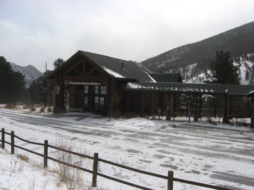 Visitor center · 4.9 mi awayFall River Visitor CenterGet hike and road advice before you enter the park.
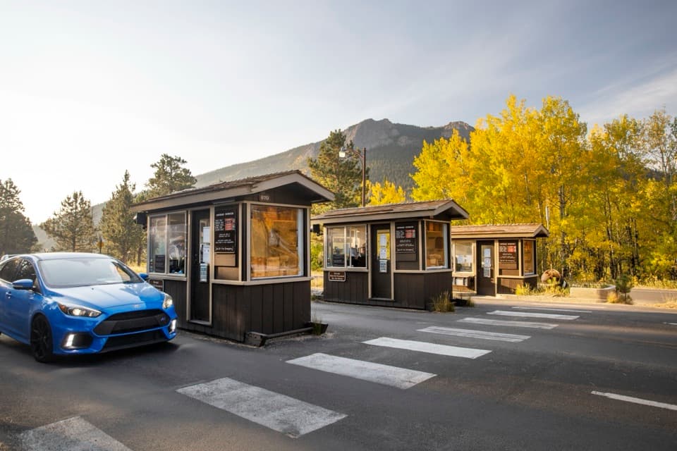 Entrance station · 5.1 mi awayFall River EntranceThe staffed eastern gateway to Rocky Mountain National Park.
 Campground · 5.3 mi awayAspenglen CampgroundWooded camping near Fall River Entrance, including five walk-to sites.
 Visitor center · 5.5 mi awayBeaver Meadows Visitor CenterA National Historic Landmark that helps you plan the day.
 Sight · 5.7 mi awayDeer MountainThe last steep steps open onto a wide Front Range panorama.
Parkwolf’s Rocky Mountain ranking

The audio tour guide for the drive, plus offline maps, trails, and wildlife heatmaps for when the signal drops.