
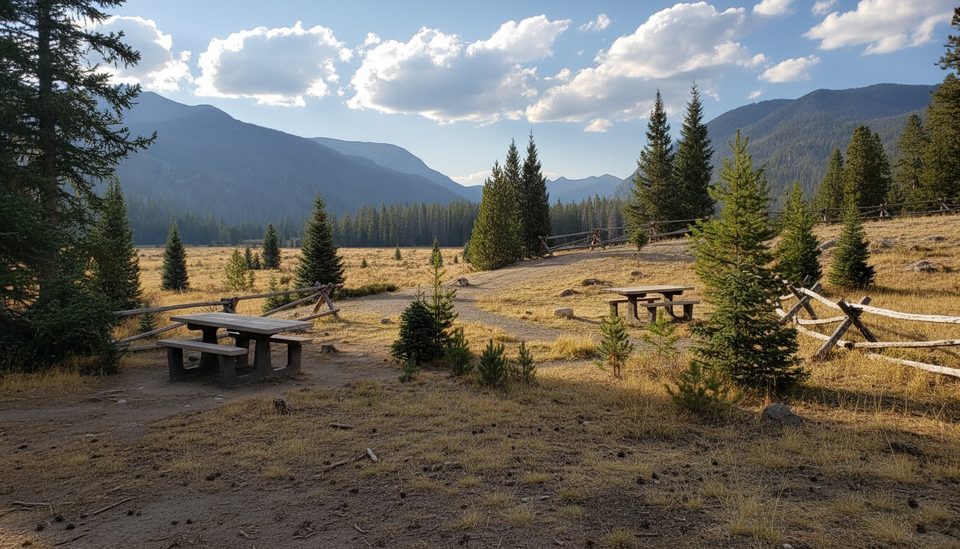
Place · 0.6 mi away
Moderate
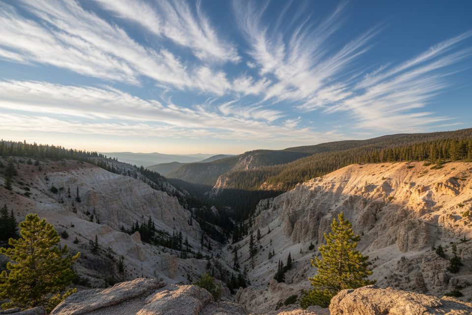
Little Yellowstone is a moderate, west-side RMNP hike best for solitude seekers and geology nerds. It’s an out-and-back that runs about 12.2 miles total with roughly 1,866 feet of gain, taking most fit hikers around 5–5.5 hours. The route is largely mellow, with a long forest-and-meadow approach and a concentrated scenic payoff at the short erosional “Little Yellowstone” canyon. If you want constant big views, you may find the approach long for the reward—but if you value quiet, history, wildlife, and a unique volcanic-formed feature, it’s a worthy day.
Start at the Colorado River Trailhead on the park’s west side (off Trail Ridge Road). Follow the Colorado River Trail north through Coyote Valley and broad meadows with periodic creek crossings. You’ll pass the historic Lulu City townsite; the spur to Little Yellowstone comes beyond this area, turning right and climbing steadily toward the canyon and, if you choose, onward to the Grand Ditch and La Poudre Pass. Many hikers tag the canyon and turn around; others extend on the Grand Ditch for a bigger day or craft a lollipop using nearby trails.
The headline is the namesake Little Yellowstone—an erosional canyon shaped by the area’s volcanic past, with pale, crumbly slopes and intriguing rock forms. Expect mostly forested walking with intermittent river glimpses on the approach, then wider views near the canyon, including looks toward the Never Summer Mountains from higher up. Along the way, scan meadows for moose and elk; black bears live here too. The Lulu City site adds a historical layer, though remains are subtle.
Late spring through fall (May–October) is the sweet spot. Winter travel and longer variants are not recommended due to snow and access issues. In summer, start early to avoid afternoon thunderstorms and for cooler temps; mornings also offer calmer wildlife viewing and easier parking. The approach is partly exposed to weather and meadows can feel breezy—bring layers and sun protection.
Compared to the park’s east side, this corridor is typically quiet. Reports consistently describe a well-maintained path with passable bridges and easy-to-follow signage. Expect limited vistas for much of the approach; the canyon is the scenic climax. If you crave uninterrupted alpine panoramas, consider other west-side classics; if you want seclusion and a geologic oddity, this is underrated.
Thunderstorms and lightning are common in midsummer—plan to be below treeline early and be ready to turn around. Canyon edges are loose and crumbly—use caution at overlooks. Expect mud after rains; walk through it to avoid widening the trail. Ticks can be active—do regular checks. Moose frequent the valley—give them extra space and never approach. Check RMNP’s official conditions pages before you go.
Park at the Colorado River Trailhead on the west side of RMNP (about 9.5 miles north of the Grand Lake Entrance off Trail Ridge Road). Bathrooms available; parking is typically easier than on the east side, but arrive early in peak season. A park pass is required.
Afternoon thunderstorms and lightning are common—start early. Canyon edges are loose; keep back from drop-offs. Expect mud after rains and multiple creek crossings. Ticks can be active; do checks. Moose are common—give them wide berth. No dogs on this trail.
Place · 0.6 mi away
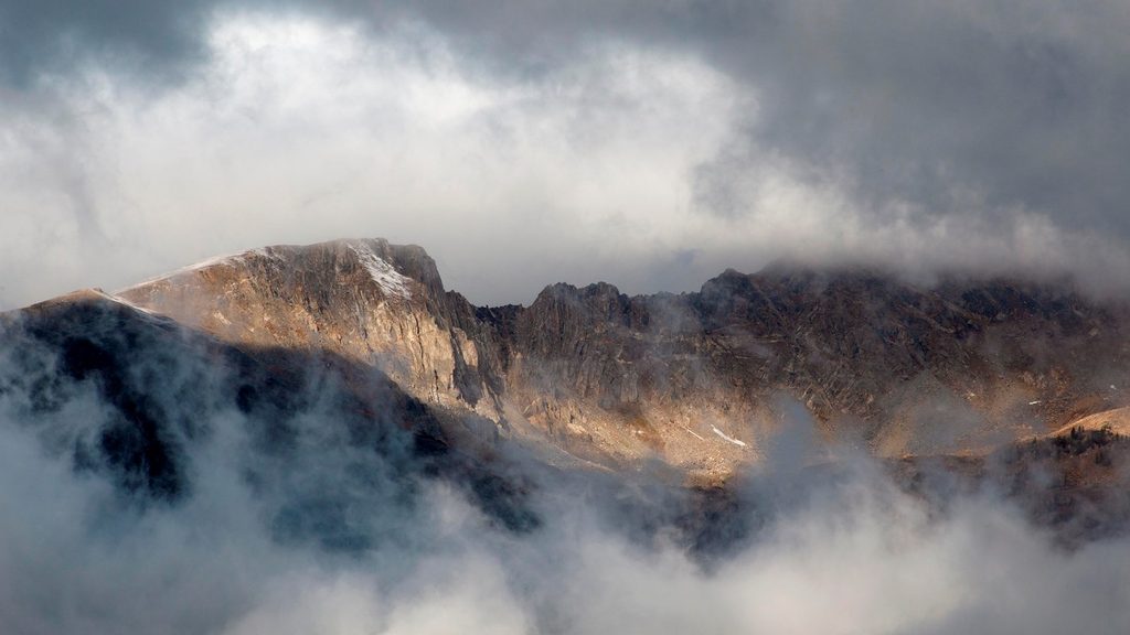
Place · 0.7 mi away
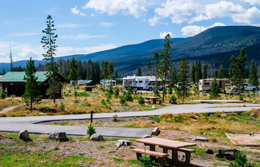
Place · 1.6 mi away
Place · 1.6 mi away
Easy · 0 mi away
Moderate · 0 mi away
Easy · 1.8 mi away
Moderate · 2.2 mi away

Parkwolf Tour Guide
