
Place
Challenging
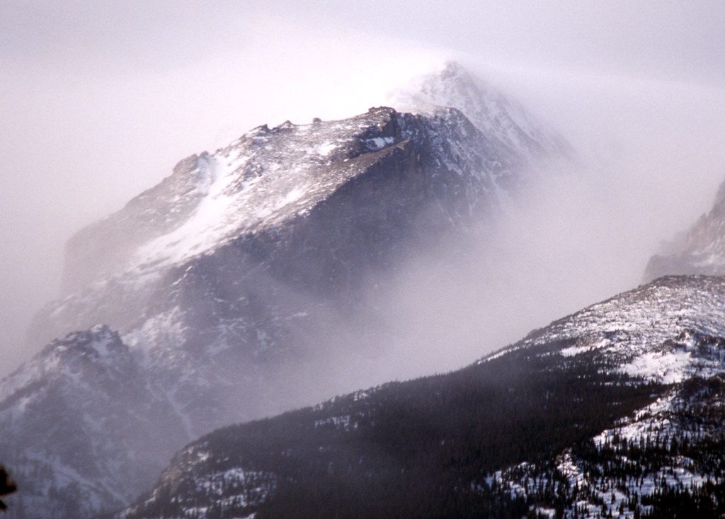
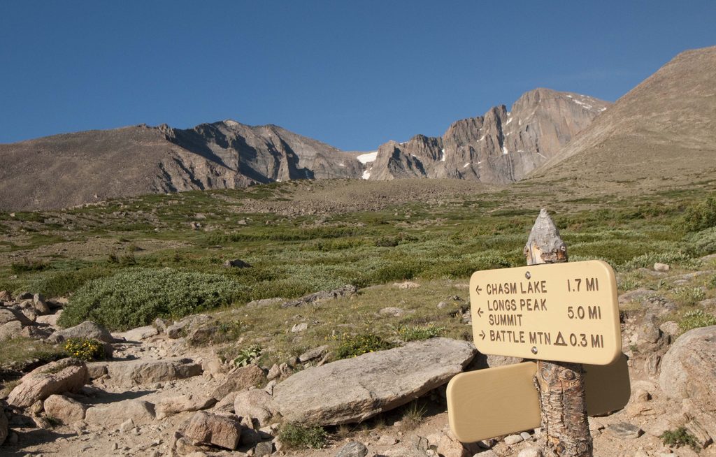
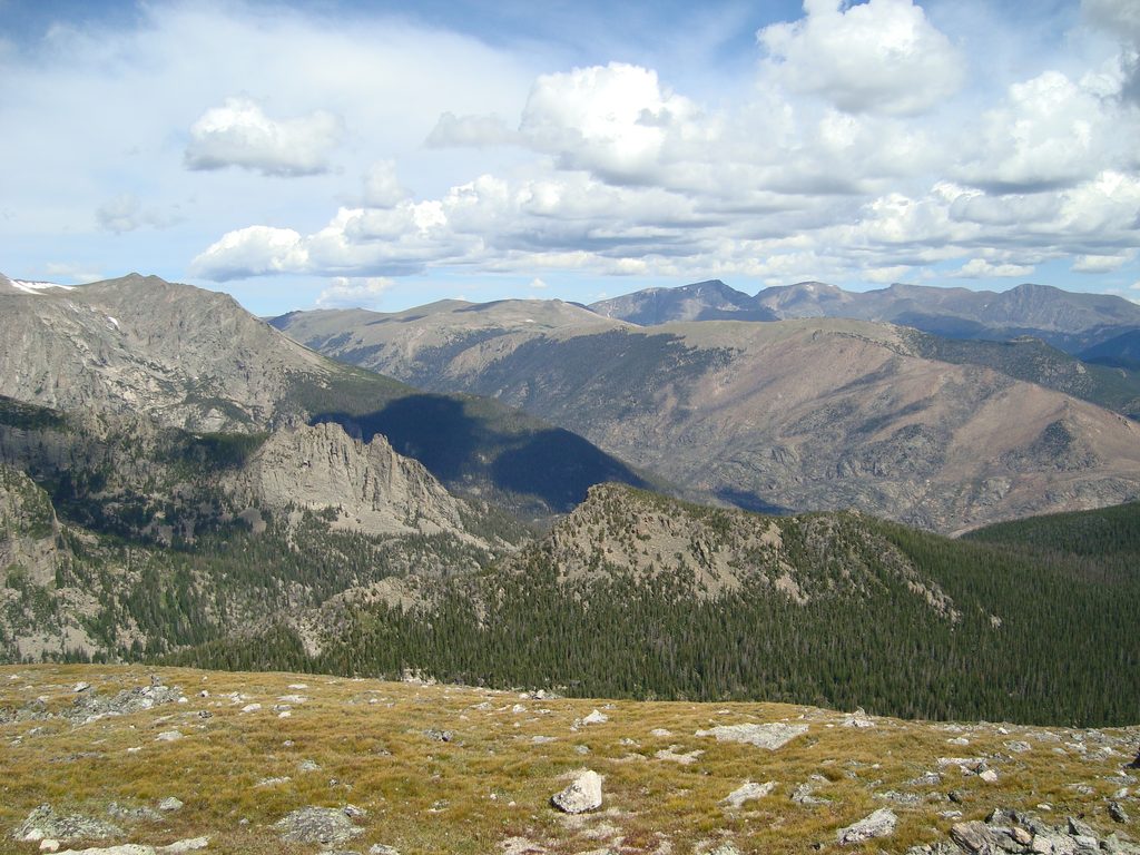
A classic summit workout with huge payoff, Estes Cone climbs 6.2 miles total (out and back) from the Longs Peak Trailhead, gaining about 1,938 feet to an 11,006-foot summit. Expect steady climbing, thinner air, and a short, rocky scramble near the top. The views are the star: Longs Peak and Mount Meeker dominate the skyline, with sweeping looks at the Mummy Range, the Continental Divide, Twin Sisters, the Estes Valley, and Lily Lake far below.
From the Longs Peak Trailhead, follow the East Longs Peak Trail through lodgepole pine, spruce, and fir. About 0.5 miles in, turn right on the signed Eugenia Mine Trail, crossing Inn Brook on a wooden bridge. You’ll pass the historic Eugenia Mine area and a homestead site, then cruise through Moore Park before climbing to Storm Pass (~10,250 feet). Continue straight for Estes Cone. The final 0.7 miles rise roughly 750–800 feet up the south shoulder through limber pines, following cairns on a faint, rocky path with a brief, non-technical scramble to reach the summit block.
This is a strenuous outing by front-range standards: high-altitude exertion, sustained grades, and a finish that demands attention to route-finding. The last half-mile can be vague in spots—look for cairns and take your time. If the very top feels airy, there are slightly lower perches with nearly identical views. Horses are allowed only on the lower half; expect manure on those sections.
You’ll walk past relics of the early-1900s Eugenia Mine. Despite the name, Estes “Cone” isn’t volcanic—the peak’s shape is an erosional remnant. Bedrock in this corner of the park is dominantly ancient metamorphic rock (gneiss and schist), with hardy limber pines clinging to the summit area.
Summer mornings are ideal: start early to nab parking and beat frequent afternoon thunderstorms. Spring and early summer can hold snow and ice in shaded stretches; traction can help. Winter conditions can be severe and demand proper experience and gear (snowshoes or spikes may be necessary depending on conditions). Cell service is unreliable year-round. Regardless of season, download an offline map.
Park at the Longs Peak Trailhead off CO-7 near the Longs Peak Ranger Station; the lot fills very early and roadside overflow is limited. Bathrooms are at/near the trailhead.
Rapid weather changes and frequent summer afternoon thunderstorms; final half-mile requires route-finding and a brief scramble; lingering snow/ice into early summer; winter travel can be severe and may require traction or snowshoes; cell service is unreliable; expect horse manure on lower sections.
Place
Place
Place
Place
Challenging
Moderate
Moderate
Challenging

Parkwolf Tour Guide
