
Place · 0 mi away
Challenging
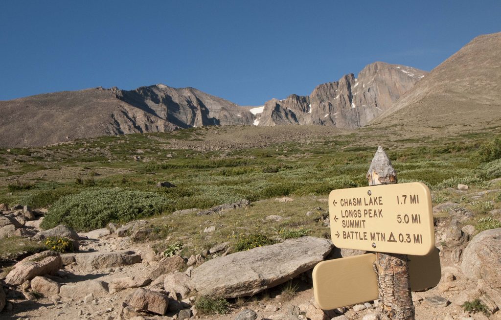
This is the standard approach to Longs Peak (14,259 ft) via the famous Keyhole. It’s not a simple hike; above the Keyhole you’re on exposed Class 3 terrain where a mistake can be fatal. Expect loose rock, narrow ledges, and real scrambling. It’s iconic for a reason, but only those with alpine judgment should continue past the Keyhole. Total round-trip distance is commonly quoted between 14–16 miles, with roughly 4,900–5,100 feet of gain, out-and-back.
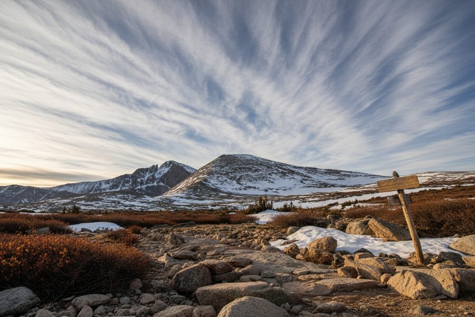
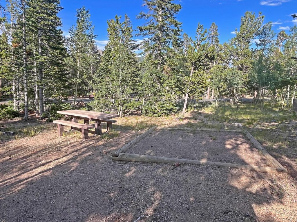
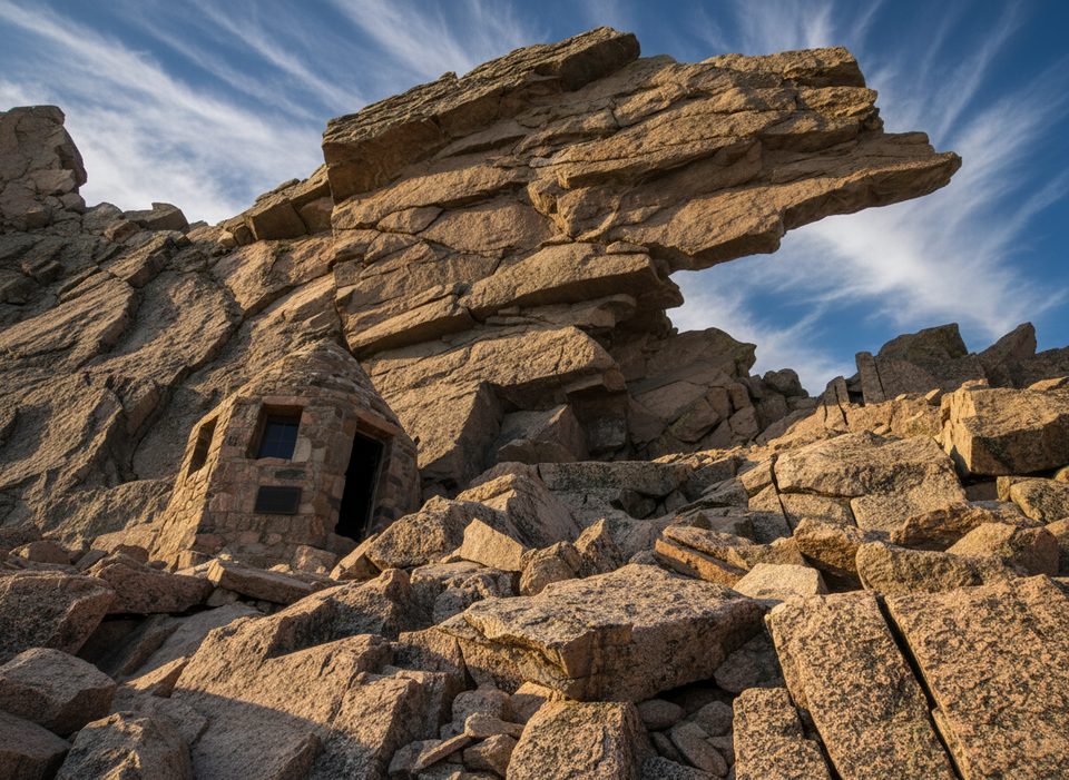
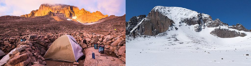
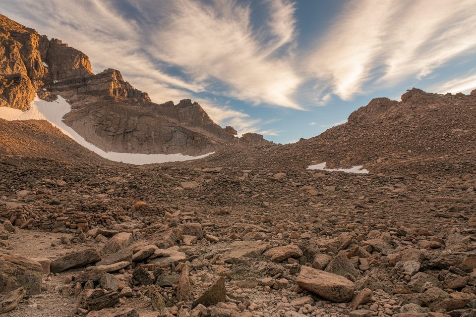
From the Ranger Station off Highway 7, the trail climbs through Goblins Forest and crosses Alpine Brook. Around 2.5 miles in—near 11,000 feet—you break treeline with big views of Longs. The path traverses southwest along Mills Moraine to the Chasm Lake junction (about 11,550 ft). Staying on the main route, it crosses the northeast flank of Mt. Lady Washington to Granite Pass, then continues to the Boulder Field (~12,400 ft), where you’ll find tent sites (by reservation) and privies. The tread fades near ~12,800 ft; follow cairns toward the Keyhole, the notch between Longs and Storm Peak.
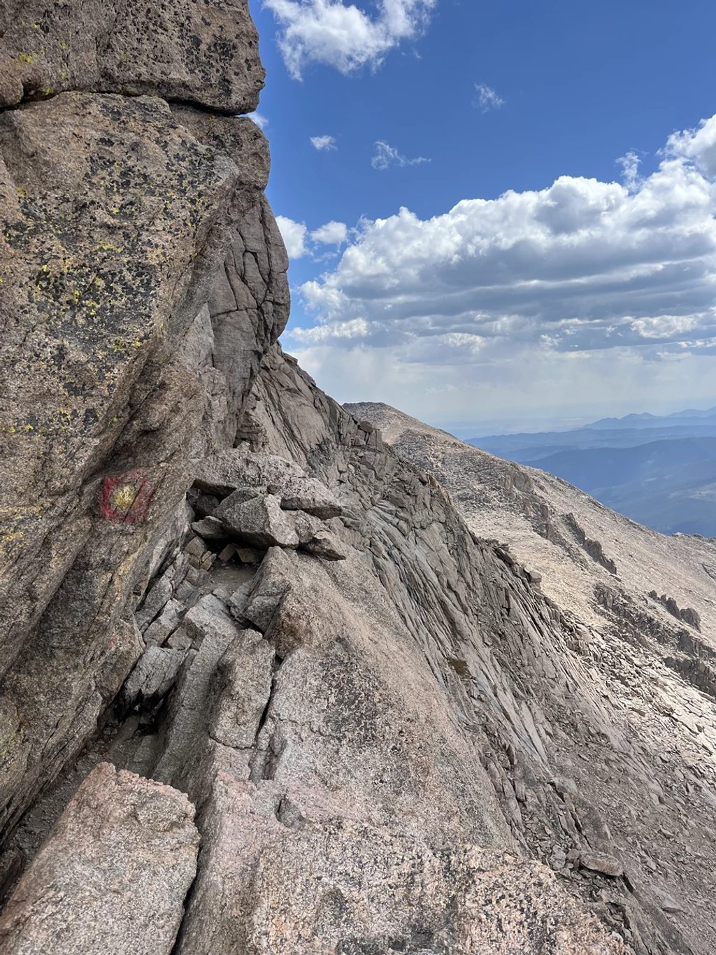
Beyond the Keyhole, the character changes. The route follows marked ledges on the west side with Glacier Gorge yawned out to your right, then climbs the Trough—a 600-foot gully of loose rock with easy-but-consequential scrambling. A ~30-foot steeper step at the top is often the crux. Next comes the Narrows, a short but very exposed ledge traverse requiring calm, deliberate movement. The final push up the Homestretch is about 300 feet of frictiony cracks and slabs leading to Longs’ broad, flat summit. In dry, calm weather, it’s straightforward; in wind, snow, or verglas, it’s treacherous.
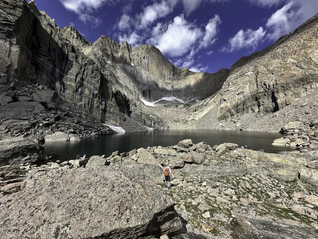
You’re walking across ancient Precambrian granite—part of the park’s two-billion-year rock story—sculpted by ice. The Boulder Field is a classic periglacial blockfield, and Chasm Lake sits in a textbook glacial cirque beneath the sheer east face (the Diamond). Glaciers reshaped the high country into U-shaped valleys, left polished slabs and grooves, and piled moraines you’ll cross on the approach.
Typical season is mid/late summer (often July–September) when the Keyhole Route goes snow-free. Even then, expect afternoon thunderstorms—most parties start around 3–4 a.m. to be descending by midday. Early and late season can bring ice in the Trough, Narrows, and Homestretch; traction and an ice axe can be prudent for experienced users. If the weather turns or the rock is icy/wet, turn around.
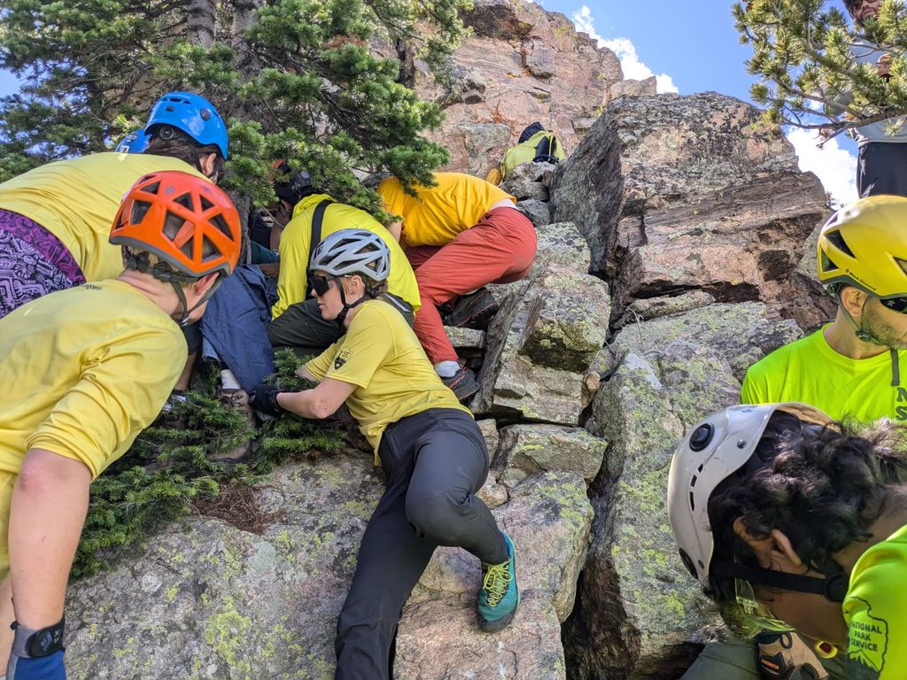
Helmets are strongly recommended above the Keyhole due to rockfall. Carry extra warm layers, waterproofs, headlamp, plenty of calories, and a first-aid kit. Altitude can impair judgment—build in conservative turnaround times.
The park may operate a timed-entry reservation system during peak season/hours; you’ll need an entrance pass year-round, and—when in effect—a timed-entry reservation that applies to the Longs Peak area. Pets are not allowed on this trail or any park trail. Boulder Field camping requires an advance reservation.
If you want an all-day alpine objective with hands-on movement and exposure, this is a crown jewel. If you’re looking for a scenic high-country hike without committing Class 3 or exposure, consider stopping at the Boulder Field or taking the spur to Chasm Lake instead—both are superb objectives on their own.
Park at the Longs Peak Ranger Station trailhead just west of Colorado Highway 7; the trail starts from this lot. Arrive very early—lots fill before dawn on good-weather weekends.
Above the Keyhole the route is exposed Class 3 with rockfall, narrow ledges, and steep cliffs where an unroped fall can be fatal. Conditions can be winter-like any time; traction/ice axe may be needed in icy periods. Start pre-dawn for weather, watch altitude, and be ready to turn around.
Place · 0 mi away
Place · 0.2 mi away
Place · 1.6 mi away
Place · 1.7 mi away
Challenging · 0 mi away
Challenging · 0 mi away
Challenging · 0 mi away
Challenging · 0 mi away

Parkwolf Tour Guide
