
Place · 0.6 mi away
Challenging
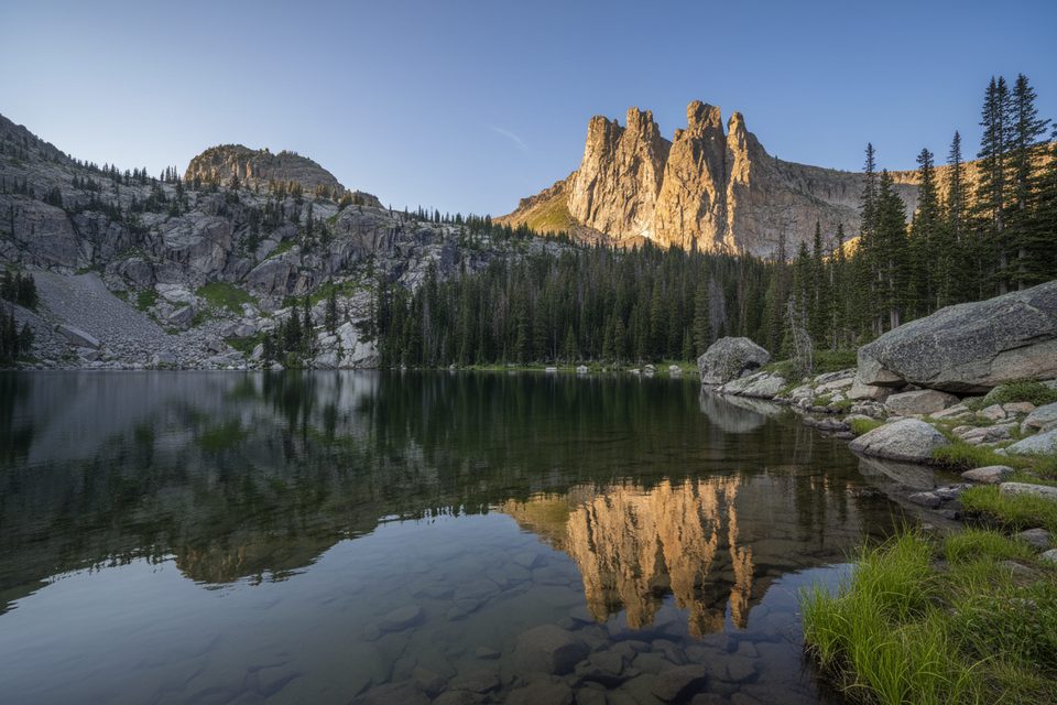
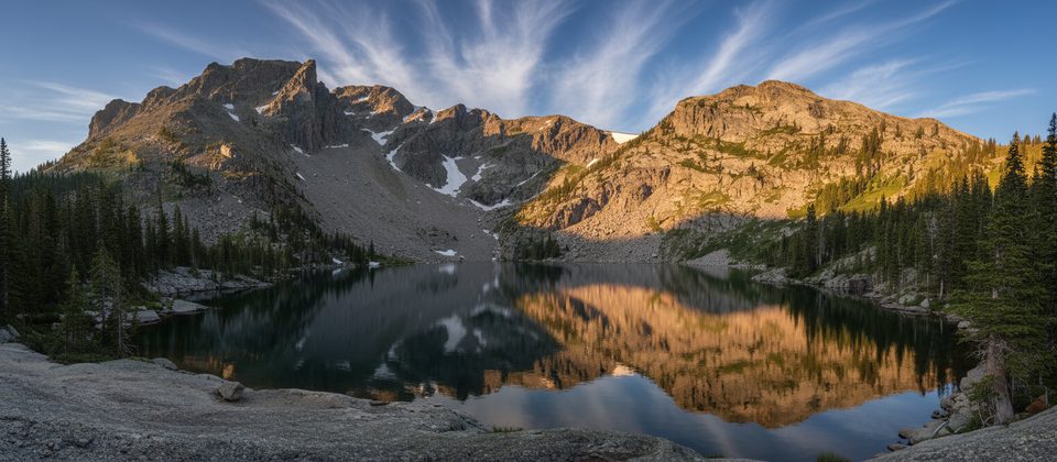
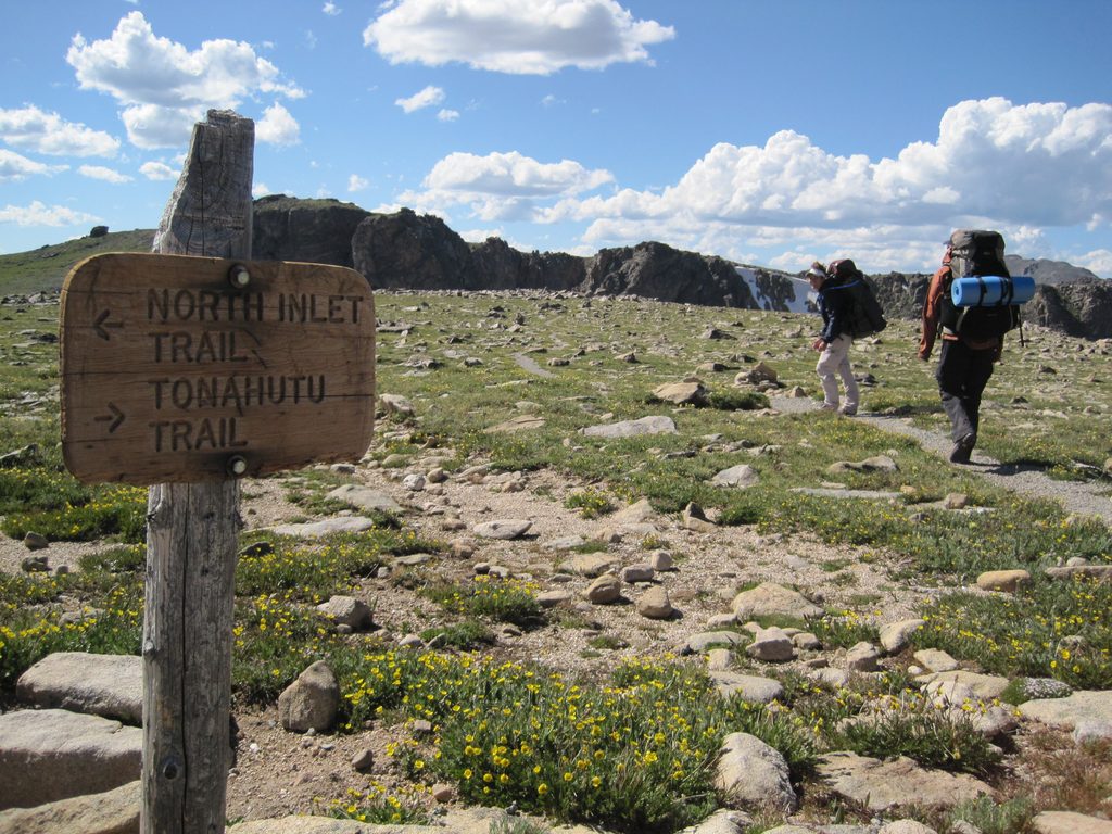
Lake Nokoni sits above 10,000 feet and makes you earn every view. The route follows the North Inlet Trail from the park’s west side for a long out-and-back to a serene alpine lake. Plan on roughly 19 miles total and about 2,887 feet of climbing round trip. Many hikers’ trackers read closer to 20 miles depending on turnarounds and GPS drift. It’s a rewarding push if you like big days with real solitude.
The first 7+ miles roll gently through meadows and wide valley walking—easy cruising to warm up. Past North Inlet Junction the canyon tightens and the grade ramps. The final 2.5 miles to Nokoni are the crux: notably steeper with sustained climbing. Expect a natural surface path with roots, rocks, occasional muddy stretches, and granite slabs near the lakeshore. If you tack on the low ridge to neighboring Lake Nanita, the day balloons to roughly 21–22 miles with additional gain.
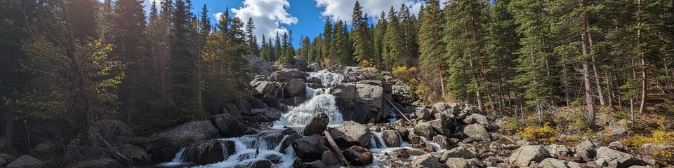
This corridor is about classic west-side RMNP: clear creeks, two photogenic waterfalls along the way, and a chain of beautiful lakes culminating at Nokoni’s alpine bowl. Wildlife sightings are a legitimate highlight—moose and deer show up often, plus marmots and the occasional snake. Late summer brings berries in spots; keep your eyes open near sunny edges.
Parts of the approach pass through the 2020 burn scar. It’s interesting hiking—green recovery cutting through blackened trunks—but it can be exposed, with sun, wind, and the occasional downed tree. It doesn’t ruin the hike, but it changes the feel and can be hot on summer afternoons.
This is a prime backpacking route with multiple designated backcountry sites (e.g., Summerland, Twinberry, Grouseberry, Footbridge Stock, Porcupine, North Inlet Junction, Pine Marten). Many hikers split the trip and camp before the steep finale, then tag Nokoni in the cool morning. You’ll need a wilderness camping permit; plan well ahead in peak season.
Late July through September is typically the smoothest window: lower trails dry out, and high country snow mostly retreats. Even in midsummer, storms frequently pop after noon—start early for calmer winds, softer light at the waterfalls, and safer lake time. Shoulder season can mean lingering snow/ice above 10,000 feet; traction may be helpful.
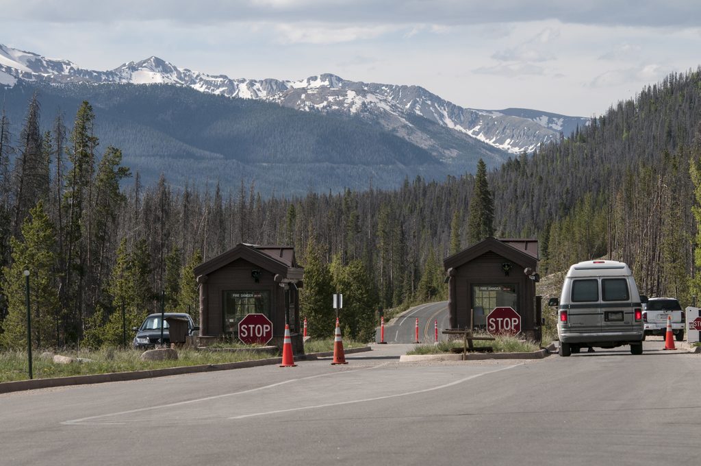
Start from the North Inlet Trailhead near the town of Grand Lake on the park’s west side. Access is via West Portal Road and County Road 663; follow signs for North Inlet. Arrive early for parking and to beat weather.
Park at the North Inlet Trailhead near Grand Lake; access via West Portal Road and County Road 663 following signs for North Inlet. Arrive early.
Long, committing day at high elevation; snow/ice can linger above 10,000 feet, thunderstorms are common after noon, burn area has falling-tree hazards, mud—stay on trail, ticks present; filter all water. No pets on trails.
Place · 0.6 mi away
Place · 1.2 mi away
Place · 1.2 mi away
Place · 1.2 mi away
Challenging · 0 mi away
Challenging · 0 mi away
Moderate · 0 mi away
Challenging · 0.1 mi away

Parkwolf Tour Guide
