Parking
Park at the Lumpy Ridge Trailhead lot north of Estes Park, reached from Devils Gulch Road.
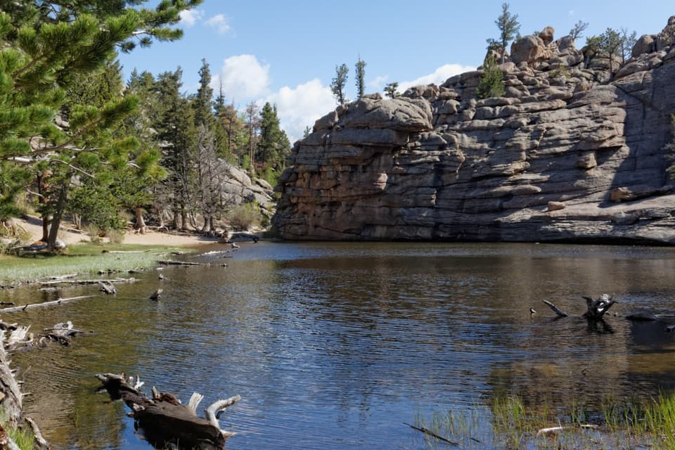
#9 of 136 trails in Rocky Mountain
Rocky Mountain National Park, CO
Rock steps climb to a small lake tucked beneath granite walls.
Overview
Gem Lake Trail is a 3.2-mile out-and-back from Lumpy Ridge Trailhead to a small lake held in a granite basin. The 1.6-mile figure is one way. The climb gains about 1,000 feet from a 7,840-foot start; allow about two and a half to three hours for the climb, time by the lake, and the return. It's a good choice if you want an uphill hike with big rock scenery without committing to a full-day route. The lake is a small, pond-like bowl rather than a broad alpine shoreline, so the walk and the granite are as much the payoff as the water.
 Parkwolf’s verdictIs this the hike for you?
Map & elevation
Plan your hike

The highest, rockiest slopes around here are a summer buffet for grizzly bears.
Rocky Mountain Tour Guide
Parkwolf is a GPS audio tour guide for Rocky Mountain National Park. As you drive, it chimes in with what’s ahead: hidden gems, upcoming stops, history, geology, and wildlife, right through your car’s speakers.
See the Rocky Mountain audio tourRecorded for this trailhead
Lumpy Ridge: The Climb to Gem Lake“The Lumpy Ridge trailhead is ahead, where the hike to Gem Lake takes you through rounded granite with views over Estes Park.”
Plays as you drive up to this trailhead in the Parkwolf Rocky Mountain Tour Guide.
More stories near here in the app
“…No cell service for majority of the day but had continuous access to the app - the maps, the tour guide as you drive is amazing. Highly recommend purchasing the subscription.”


Trail guide
The trail rises from the lot through a narrow, boulder-strewn canyon, passing the northeast corner of historic MacGregor Ranch. Around the half-mile mark, Black Canyon Trail branches left. Stay right on Gem Lake Trail. The fork is the main route choice to watch. Beyond it, the path keeps climbing through trees and scattered granite; openings start to show Estes Park and the higher peaks behind it.
Large boulders crowd the path as you gain height. Near 1.4 miles, look for Paul Bunyan's Boot, a granite formation shaped like an oversized boot. The last push is the toughest: the trail uses tall stone steps set into the rock. Some rise a foot or two, so the short mileage does not make this an easy stroll. On the return, those same steps become a careful downhill section.
Gem Lake sits beneath a wall of coarse, layered granite on the exposed eastern edge of Lumpy Ridge. It has no inlet or outlet; rain and snowmelt collect in the basin. Expect a compact stop rather than a long shoreline circuit. Before heading back, turn around on the upper approach for views toward Estes Park, Longs Peak, Mount Meeker, and the Continental Divide. At the lake, include some water and the granite wall in a photo to show the basin's scale.
Rocky Mountain's high valleys were carved by ice, but this lower Lumpy Ridge pocket escaped that work. Its coarse-grained granite has been rounded into domes and blocky shapes by millions of years of non-glacial erosion. That's why the climb threads among giant rounded boulders rather than crossing a glacially carved lake basin.
Gem Lake Trail was part of the early resort era around Estes Park, when visitors and horses used the route. It reached its present alignment in 1923. The Civilian Conservation Corps maintained and improved it in 1940 and 1941, and the trail joined the National Register of Historic Places in 2008. That history fits its position between town and the park's granite country.
Begin at the Lumpy Ridge Trailhead lot north of Estes Park, reached from Devils Gulch Road. Follow the signs for Gem Lake, and take the right-hand branch at Black Canyon. This is an out-and-back, so return the same way. Pets are prohibited on all park trails. The steady climb and upper steps are the main effort; no food or drinking-water stop was verified along the route, so plan for your break before setting out.
Wildlife
 3,124 sightingsElkMost seen around 6 PMSighting map
 1,601 sightingsMooseMost seen around 7 PMSighting map
 19 sightingsMountain GoatMost seen around 7 AMSighting map
 19 sightingsBald EagleMost seen around 8 AMSighting map
 30 sightingsGolden EagleMost seen around 10 AMSighting map
 270 sightingsBighorn SheepMost seen around 11 AMSighting map
Sighting maps show where each species has been reported across Rocky Mountain. Wildlife moves, so no sighting is guaranteed.
Keep exploring
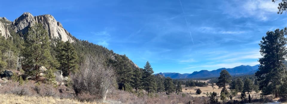 ModerateBlack Canyon Trail4.2 mi · 2.5 hr · At the trailheadA 4.2-mile out-and-back beneath Twin Owls and Lumpy Ridge.
 ModerateMacGregor Falls Trail6.4 mi · 3.5 hr · At the trailheadMeadows, granite creek cascades, and a slab waterfallModerateBalanced Rock Trail7.3 mi · 4.5 hr · At the trailheadA steep Gem Lake climb, then Balanced Rock and Estes Park views.ChallengingLumpy Ridge Loop10.6 mi · 7 hr · At the trailheadA full day around Lumpy Ridge, from ranch meadows to Gem Lake.
 ModerateWest Creek Falls Trail4.4 mi · 3.5 hr · 2.5 mi awayA steep ridge walk ends at two cascades in a rocky gorge.
 ChallengingNorth Boundary Trail5.9 mi · 5.5 hr · 2.5 mi awayA hard ridge traverse opens to views of the Mummy Range.
 ChallengingHusted Trail11 mi · 8.5 hr · 2.5 mi awayA historic West Creek track with a long approach and fading tread.
 ModerateBridal Veil Falls Trail6.2 mi · 4 hr · 2.5 mi awayA 6.2-mile round trip from meadows to a rocky waterfallSight · 1.1 mi awayGem LakeA small granite-ringed lake worth the sustained uphill climb.
 Visitor center · 1.2 mi awayEstes Park Visitor CenterA town-side start for local advice and the seasonal RMNP shuttle.
 Visitor center · 3.3 mi awayBeaver Meadows Visitor CenterA National Historic Landmark that helps you plan the day.
 Sight · 3.4 mi awayBridal Veil FallsA 20-foot waterfall beyond meadows, aspens and a steep rocky finish.
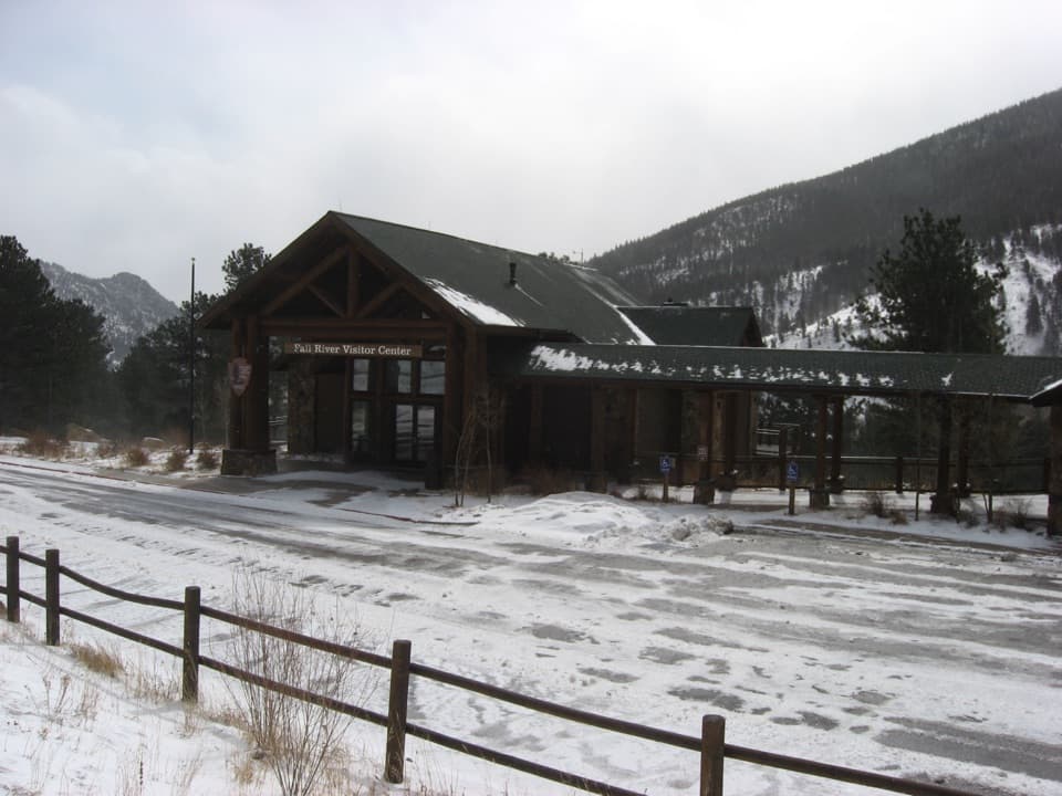 Visitor center · 3.9 mi awayFall River Visitor CenterGet hike and road advice before you enter the park.
 Sight · 3.9 mi awayDeer MountainThe last steep steps open onto a wide Front Range panorama.
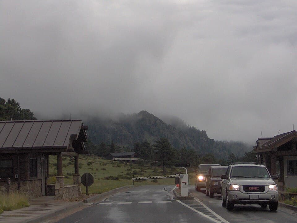 Entrance station · 4.1 mi awayBeaver Meadows EntranceClosest entrance from Estes Park, with passes sold at the gate.
 Campground · 4.1 mi awayAspenglen CampgroundWooded camping near Fall River Entrance, including five walk-to sites.
Parkwolf’s Rocky Mountain ranking
The audio tour guide for the drive, plus offline maps, trails, and wildlife heatmaps for when the signal drops.




