Parking
Start at Lumpy Ridge Trailhead (also called Twin Owls Trailhead). From Estes Park, take MacGregor Avenue/Devils Gulch Road to the signed Lumpy Ridge turn, then continue about 0.3 mile to the trailhead.

Rocky Mountain National Park, CO
Meadows, granite creek cascades, and a slab waterfall
Overview
Map & elevation
Plan your hike

The highest, rockiest slopes around here are a summer buffet for grizzly bears.
Rocky Mountain Tour Guide
Parkwolf is a GPS audio tour guide for Rocky Mountain National Park. As you drive, it chimes in with what’s ahead: hidden gems, upcoming stops, history, geology, and wildlife, right through your car’s speakers.
See the Rocky Mountain audio tourRecorded for this trailhead
Lumpy Ridge: The Climb to Gem Lake“The Lumpy Ridge trailhead is ahead, where the hike to Gem Lake takes you through rounded granite with views over Estes Park.”
Plays as you drive up to this trailhead in the Parkwolf Rocky Mountain Tour Guide.
More stories near here in the app
“…No cell service for majority of the day but had continuous access to the app - the maps, the tour guide as you drive is amazing. Highly recommend purchasing the subscription.”


Trail guide
MacGregor Falls is a 6.4-mile out-and-back from Lumpy Ridge Trailhead, crossing open meadows before following forest paths to Black Canyon Creek and the waterfall. Allow about 3 to 4 hours for this moderate hike. The route includes a short informal connector near the ranch boundary; its present public alignment is unclear, so check with Rocky Mountain National Park before setting out. Do not cross land marked private.
From the trailhead, head west across the meadow. An older route description turns left toward The Pear at the first junction, then stays on the main trail at the next fork. The path enters pine forest and reaches a gate and fence-line connector. That turn is subtle, and the old directions may not match current signs. Follow current park guidance and stay on the public side of any fence.
The opening crosses former MacGregor Ranch meadows protected by a conservation easement. Longs Peak and the granite walls of Lumpy Ridge rise beyond the grass; climbers are often visible on the rock faces. Farther on, trees close around the trail as it approaches Black Canyon Creek.
The creekside path narrows toward several smaller cascades. MacGregor Falls is an angled sheet of water that strikes a granite wall and drops again; a smaller cascade just before it can look like the destination. The creek banks are steep and have been reported eroded, with old metal remnants near the water. Take in the falls from stable ground rather than scrambling across the creek for a closer view. From the safe bank, the slab against the granite wall makes the clearest frame.
The trailhead sits near 7,900 feet, and the falls are higher. Dogs are prohibited on Rocky Mountain National Park trails, including this route. Before hiking, confirm the ranch-gate connector with the park; an older account described No Trespassing signs on the ranch-side line and a fence-side route it said remained on public ground. Respect posted signs and turn back if the public route is not clear.
Wildlife
 3,124 sightingsElkMost seen around 6 PMSighting map
 1,601 sightingsMooseMost seen around 7 PMSighting map
 19 sightingsMountain GoatMost seen around 7 AMSighting map
 19 sightingsBald EagleMost seen around 8 AMSighting map
 30 sightingsGolden EagleMost seen around 10 AMSighting map
 270 sightingsBighorn SheepMost seen around 11 AMSighting map
Sighting maps show where each species has been reported across Rocky Mountain. Wildlife moves, so no sighting is guaranteed.
Keep exploring
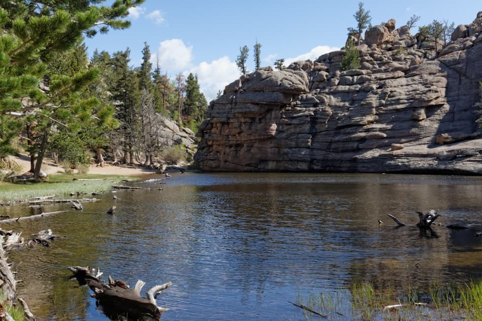 ModerateGem Lake Trail3.2 mi · 2.5 hr · At the trailheadRock steps climb to a small lake tucked beneath granite walls.
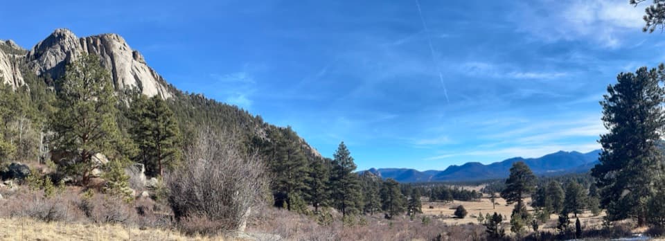 ModerateBlack Canyon Trail4.2 mi · 2.5 hr · At the trailheadA 4.2-mile out-and-back beneath Twin Owls and Lumpy Ridge.ModerateBalanced Rock Trail7.3 mi · 4.5 hr · At the trailheadA steep Gem Lake climb, then Balanced Rock and Estes Park views.ChallengingLumpy Ridge Loop10.6 mi · 7 hr · At the trailheadA full day around Lumpy Ridge, from ranch meadows to Gem Lake.
 ModerateWest Creek Falls Trail4.4 mi · 3.5 hr · 2.5 mi awayA steep ridge walk ends at two cascades in a rocky gorge.
 ChallengingNorth Boundary Trail5.9 mi · 5.5 hr · 2.5 mi awayA hard ridge traverse opens to views of the Mummy Range.
 ChallengingHusted Trail11 mi · 8.5 hr · 2.5 mi awayA historic West Creek track with a long approach and fading tread.
 ModerateBridal Veil Falls Trail6.2 mi · 4 hr · 2.5 mi awayA 6.2-mile round trip from meadows to a rocky waterfallSight · 1.1 mi awayGem LakeA small granite-ringed lake worth the sustained uphill climb.
 Visitor center · 1.2 mi awayEstes Park Visitor CenterA town-side start for local advice and the seasonal RMNP shuttle.
 Visitor center · 3.3 mi awayBeaver Meadows Visitor CenterA National Historic Landmark that helps you plan the day.
 Sight · 3.4 mi awayBridal Veil FallsA 20-foot waterfall beyond meadows, aspens and a steep rocky finish.
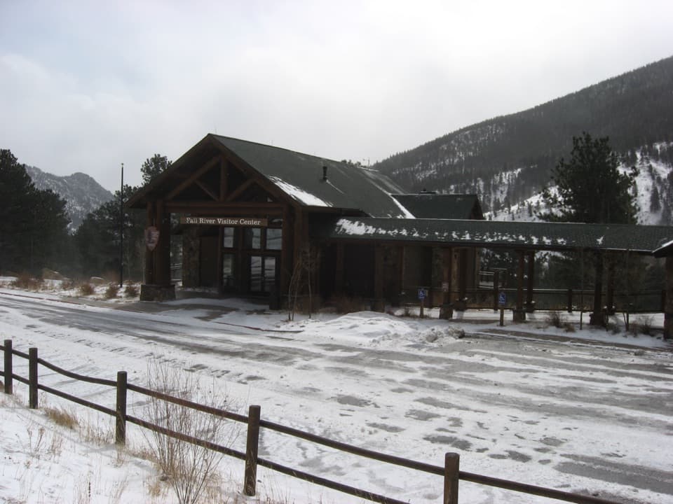 Visitor center · 3.9 mi awayFall River Visitor CenterGet hike and road advice before you enter the park.
 Sight · 3.9 mi awayDeer MountainThe last steep steps open onto a wide Front Range panorama.
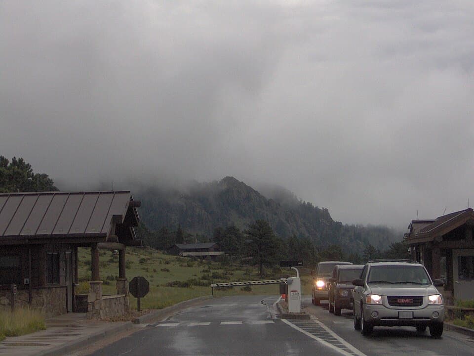 Entrance station · 4.1 mi awayBeaver Meadows EntranceClosest entrance from Estes Park, with passes sold at the gate.
 Campground · 4.1 mi awayAspenglen CampgroundWooded camping near Fall River Entrance, including five walk-to sites.
Parkwolf’s Rocky Mountain ranking

The audio tour guide for the drive, plus offline maps, trails, and wildlife heatmaps for when the signal drops.




