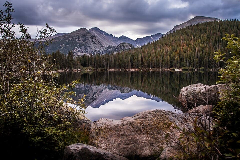
Parking
Use Lumpy Ridge Trailhead parking off Devils Gulch Road, near the interpretive sign and restrooms. Take the left branch for Black Canyon; the right goes toward Gem Lake. The lot can fill on busy weekends and holidays.
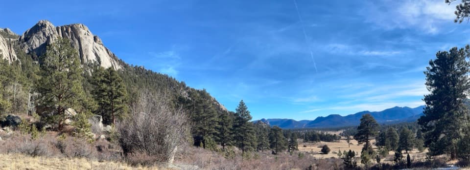
Rocky Mountain National Park, CO
A 4.2-mile out-and-back beneath Twin Owls and Lumpy Ridge.
Overview
Map & elevation
Plan your hike

The highest, rockiest slopes around here are a summer buffet for grizzly bears.
Rocky Mountain Tour Guide
Parkwolf is a GPS audio tour guide for Rocky Mountain National Park. As you drive, it chimes in with what’s ahead: hidden gems, upcoming stops, history, geology, and wildlife, right through your car’s speakers.
See the Rocky Mountain audio tourRecorded for this trailhead
Lumpy Ridge: The Climb to Gem Lake“The Lumpy Ridge trailhead is ahead, where the hike to Gem Lake takes you through rounded granite with views over Estes Park.”
Plays as you drive up to this trailhead in the Parkwolf Rocky Mountain Tour Guide.
More stories near here in the app
“…No cell service for majority of the day but had continuous access to the app - the maps, the tour guide as you drive is amazing. Highly recommend purchasing the subscription.”


Trail guide
This is a 4.2-mile out-and-back from Lumpy Ridge Trailhead to the boundary gate and back, usually about 2.5 hours. The route follows a rolling trail below Lumpy Ridge, passing Twin Owls, a seasonal creek bridge and open views toward the Continental Divide. Expect about 615 feet of cumulative climbing. This version turns at the gate; it is not the longer Lawn Lake outing or the 10.4-mile Lumpy Ridge circuit.
From the parking area, take the left-hand trail for Black Canyon; the right branch heads toward Gem Lake. The opening section crosses private ranch land, so stay on the marked trail. After the first gate, the steepest pitch has roughly four dozen steps up and another set down. The rest of this outing is gentler, with rolling rises and dips.
Twin Owls appears early, around 0.18 mile in; its paired-owl shape reads best from the south. A little farther on, a wooden footbridge crosses a seasonal creek. Around 0.6 mile, the trees open to a view toward Mount Meeker, Longs Peak and the Continental Divide. The trail passes juniper and ponderosa, then continues above MacGregor Ranch. In spring, wild iris, pasqueflower and other flowers may be in bloom; raptors such as turkey vultures, peregrine falcons and red-tailed hawks are possible overhead.
The mapped outing ends at the gate on the park boundary, about 2.1 miles from the trailhead; turn around there for the stated total. The Black Canyon corridor continues farther into the park, with Lawn Lake much farther on. Those longer distances describe a different commitment. The separate Lumpy Ridge circuit also uses other trails and is not included in this route.
Lumpy Ridge Trailhead is off Devils Gulch Road, beside an interpretive sign and restrooms. The lot can fill on busy weekends and holidays. Lumpy Ridge can be included in Rocky Mountain National Park’s seasonal timed-entry system, so check the current dates and hours before setting out. Pets are prohibited on park trails. Do not count on water along the route: a fountain near the old memorial has been described as unmaintained. Seasonal raptor restrictions can apply to nearby climbing areas; follow posted signs.
Wildlife
 3,124 sightingsElkMost seen around 6 PMSighting map
 1,601 sightingsMooseMost seen around 7 PMSighting map
 19 sightingsMountain GoatMost seen around 7 AMSighting map
 19 sightingsBald EagleMost seen around 8 AMSighting map
 30 sightingsGolden EagleMost seen around 10 AMSighting map
 270 sightingsBighorn SheepMost seen around 11 AMSighting map
Sighting maps show where each species has been reported across Rocky Mountain. Wildlife moves, so no sighting is guaranteed.
Keep exploring
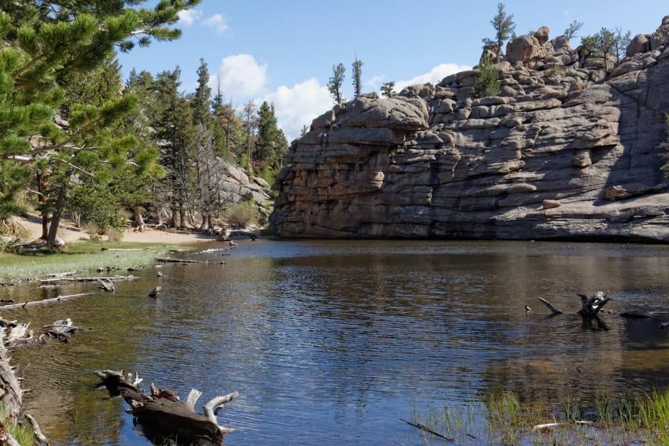 ModerateGem Lake Trail3.2 mi · 2.5 hr · At the trailheadRock steps climb to a small lake tucked beneath granite walls.
 ModerateMacGregor Falls Trail6.4 mi · 3.5 hr · At the trailheadMeadows, granite creek cascades, and a slab waterfallModerateBalanced Rock Trail7.3 mi · 4.5 hr · At the trailheadA steep Gem Lake climb, then Balanced Rock and Estes Park views.ChallengingLumpy Ridge Loop10.6 mi · 7 hr · At the trailheadA full day around Lumpy Ridge, from ranch meadows to Gem Lake.
 ModerateWest Creek Falls Trail4.4 mi · 3.5 hr · 2.5 mi awayA steep ridge walk ends at two cascades in a rocky gorge.
 ChallengingNorth Boundary Trail5.9 mi · 5.5 hr · 2.5 mi awayA hard ridge traverse opens to views of the Mummy Range.
 ChallengingHusted Trail11 mi · 8.5 hr · 2.5 mi awayA historic West Creek track with a long approach and fading tread.
 ModerateBridal Veil Falls Trail6.2 mi · 4 hr · 2.5 mi awayA 6.2-mile round trip from meadows to a rocky waterfallSight · 1.1 mi awayGem LakeA small granite-ringed lake worth the sustained uphill climb.
 Visitor center · 1.2 mi awayEstes Park Visitor CenterA town-side start for local advice and the seasonal RMNP shuttle.
 Visitor center · 3.3 mi awayBeaver Meadows Visitor CenterA National Historic Landmark that helps you plan the day.
 Sight · 3.4 mi awayBridal Veil FallsA 20-foot waterfall beyond meadows, aspens and a steep rocky finish.
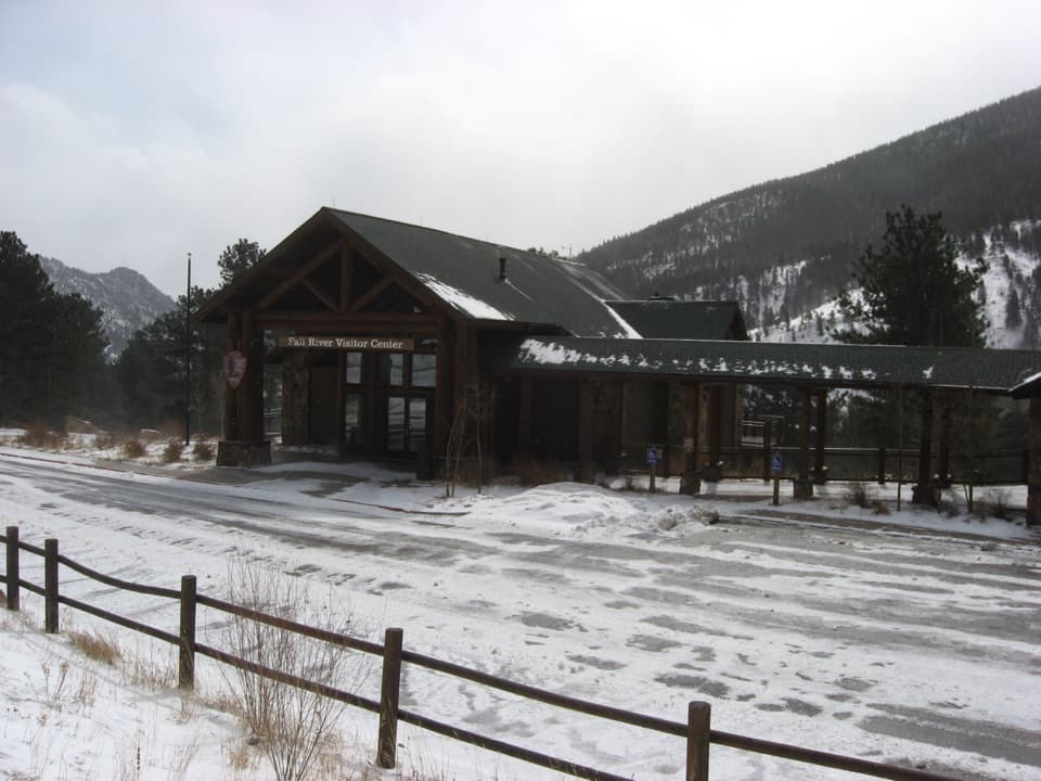 Visitor center · 3.9 mi awayFall River Visitor CenterGet hike and road advice before you enter the park.
 Sight · 3.9 mi awayDeer MountainThe last steep steps open onto a wide Front Range panorama.
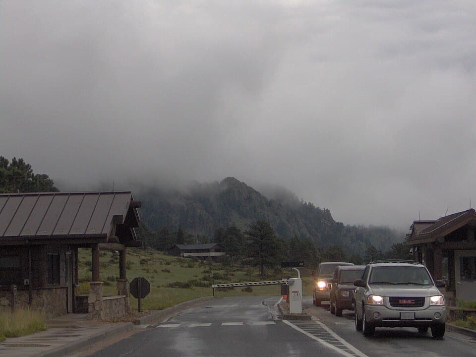 Entrance station · 4.1 mi awayBeaver Meadows EntranceClosest entrance from Estes Park, with passes sold at the gate.
 Campground · 4.1 mi awayAspenglen CampgroundWooded camping near Fall River Entrance, including five walk-to sites.
Parkwolf’s Rocky Mountain ranking

The audio tour guide for the drive, plus offline maps, trails, and wildlife heatmaps for when the signal drops.